Challenging

Three Forks Trail

Alpine-to-rainforest plunge to a mossy river confluence and camp
Three Forks Trail, Olympic National Park
Distance8.5 mi
Typical time5.8 hr
DifficultyChallenging
PetsNot allowed

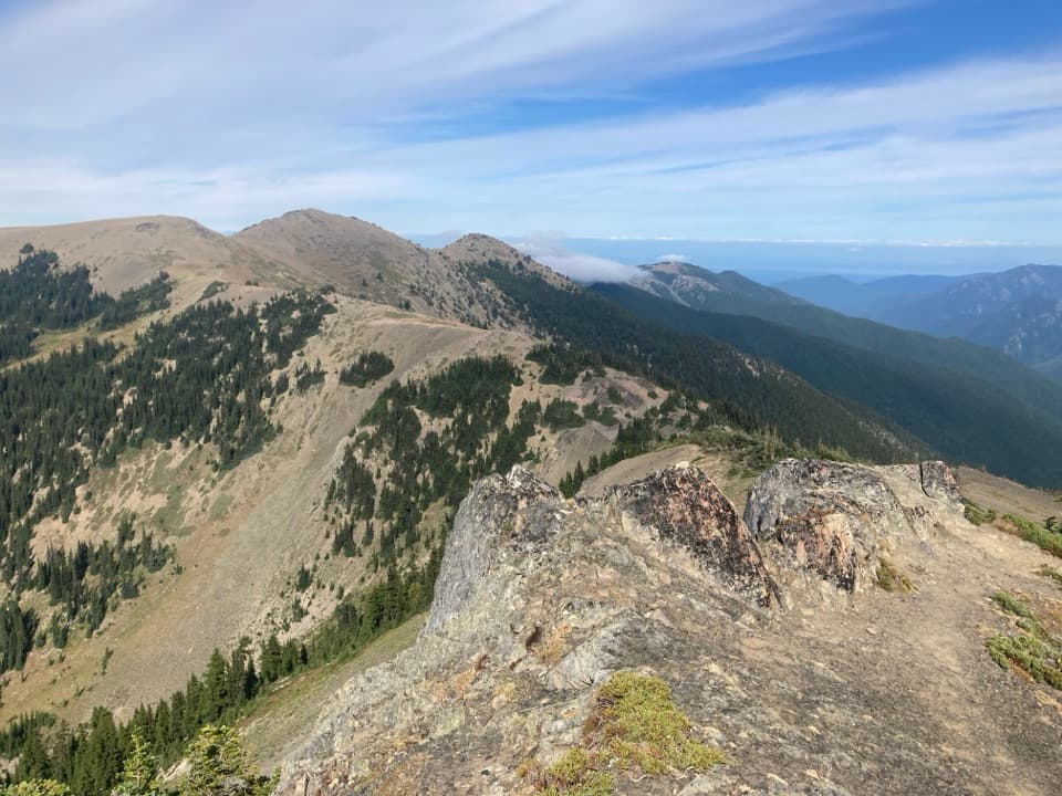
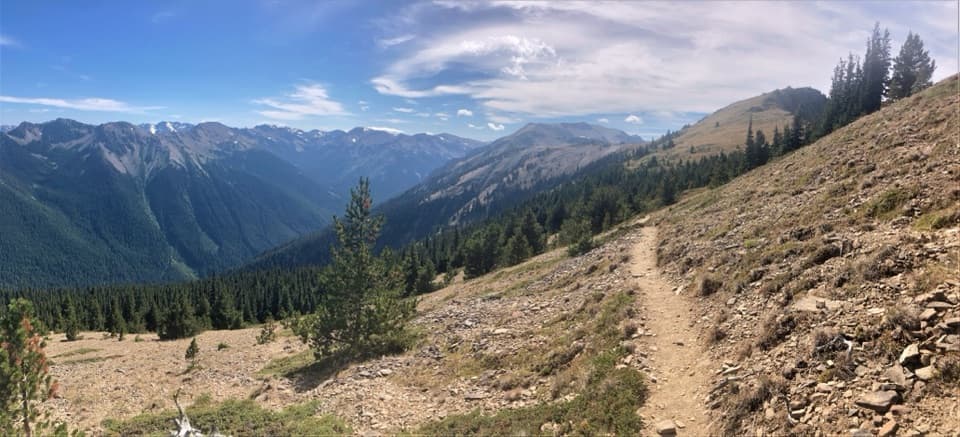
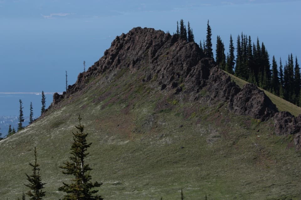
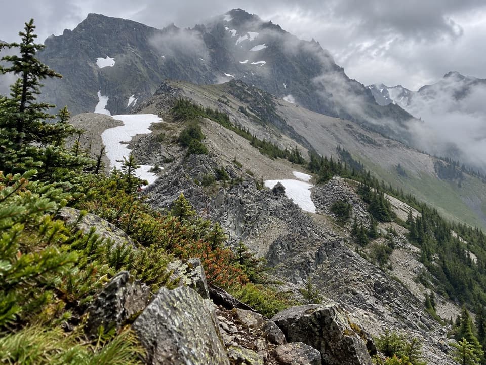
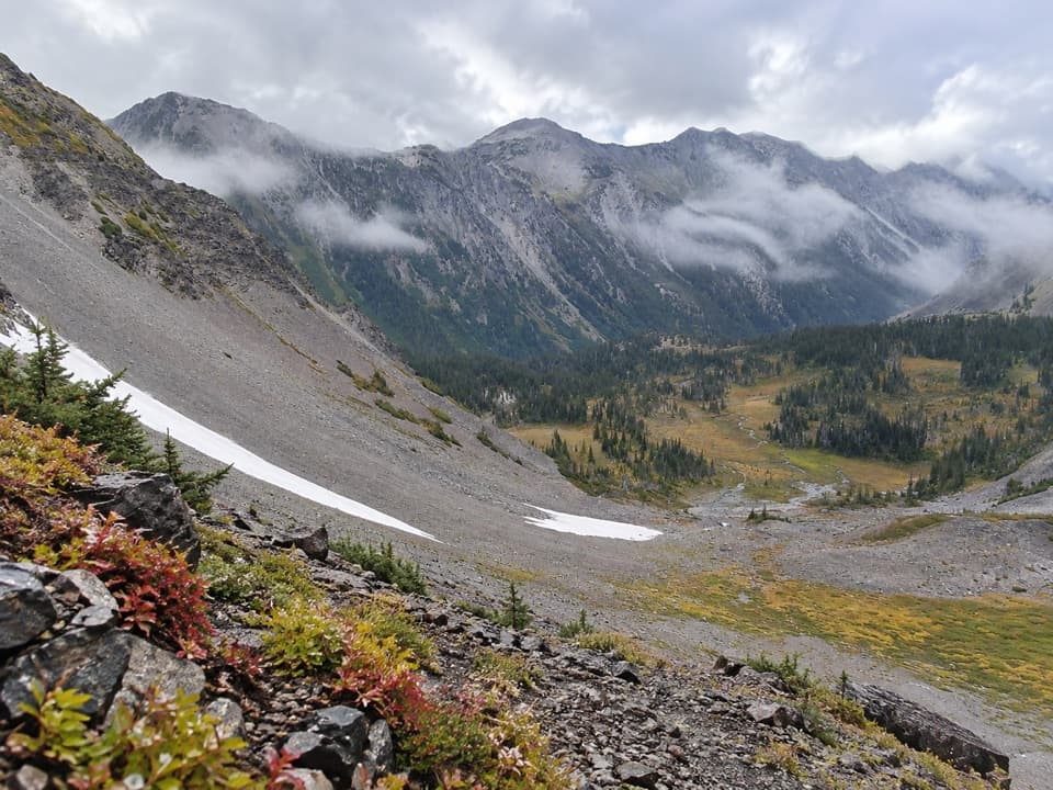
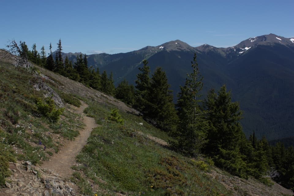
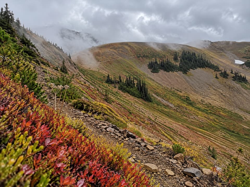
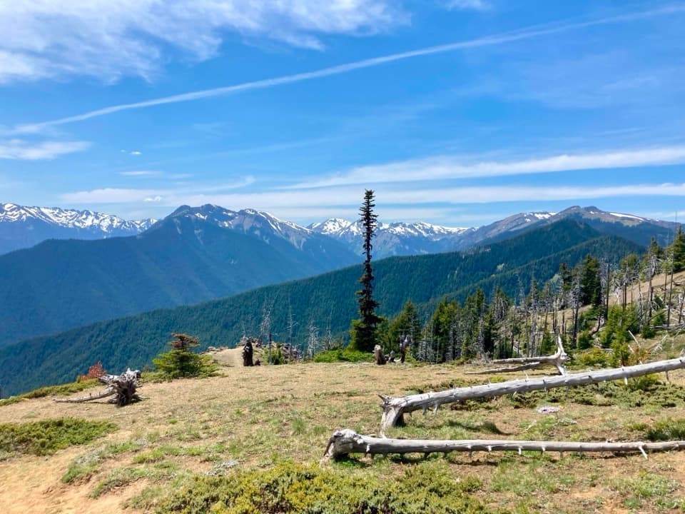
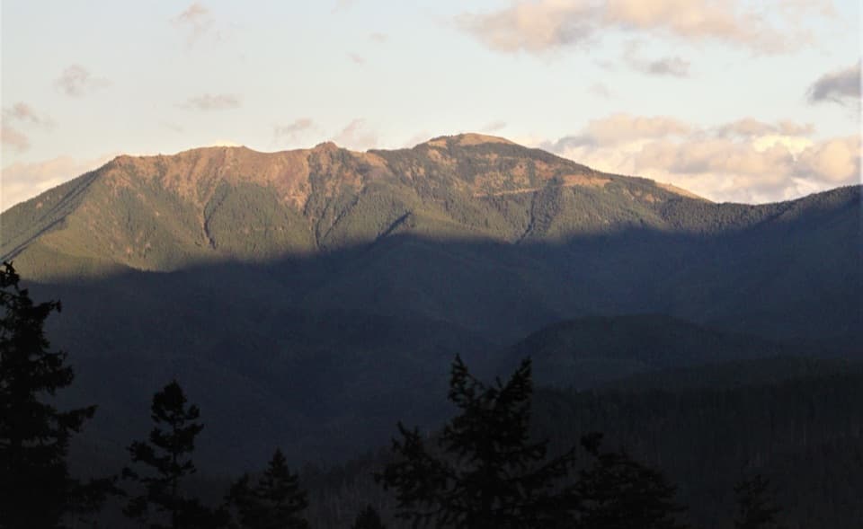
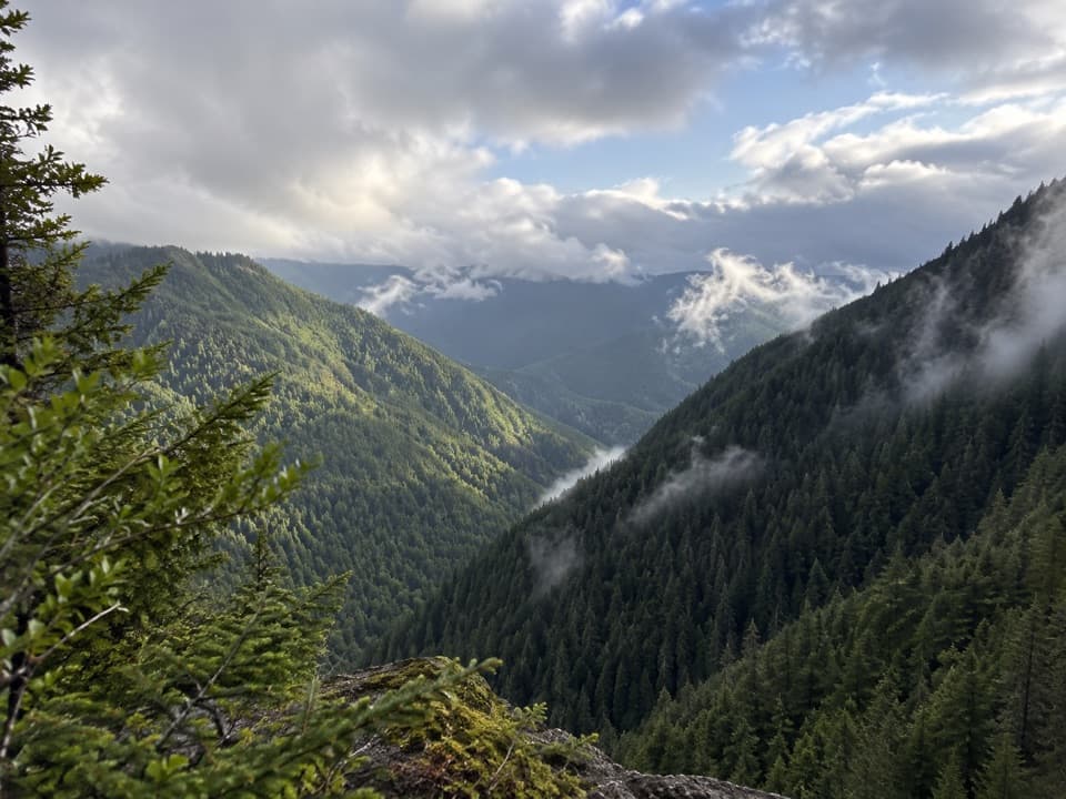
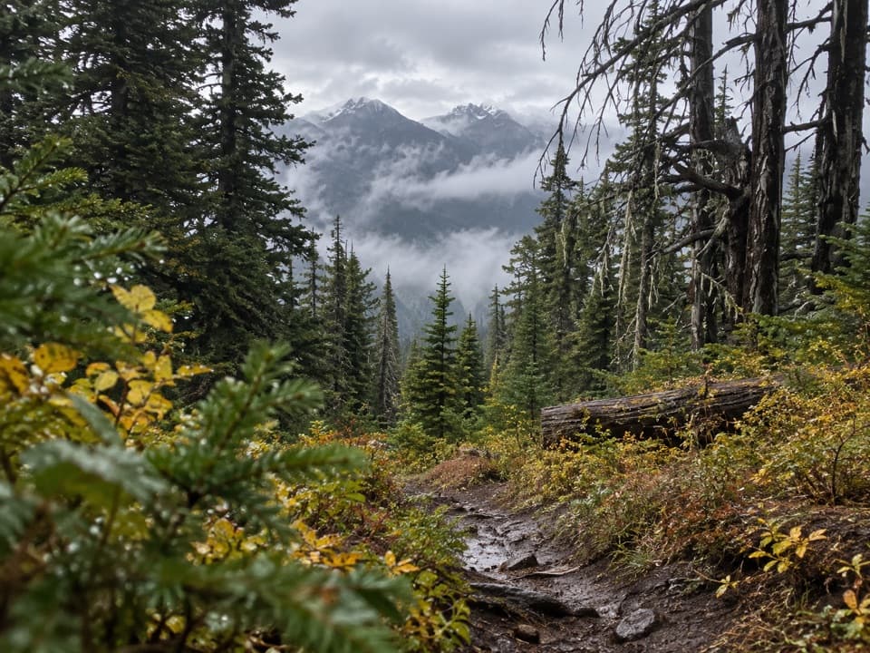
Start at the back of Deer Park Campground and drop fast off Blue Mountain toward the confluence of Grand Creek, Cameron Creek, and the Gray Wolf River. This is a classic Olympic National Park “top-to-bottom” sampler: open subalpine meadows and big mountain views up high, transitioning into cool, moss-draped old-growth as you descend.

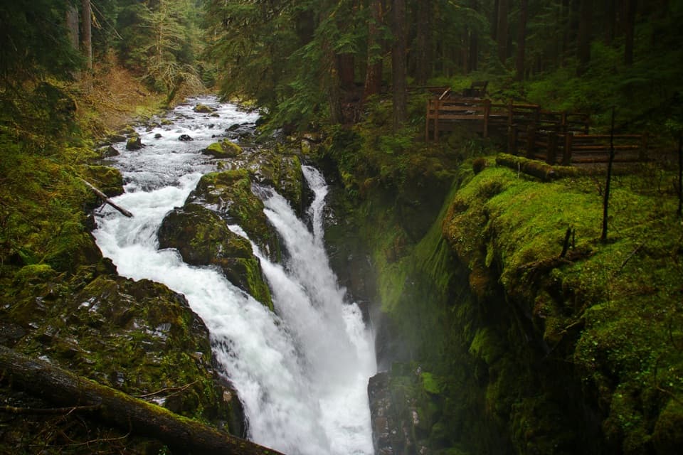
Plan on about 8.5 miles total, out-and-back, with roughly 3,300 feet of elevation loss—and the same gain on the return. The upper ridge can be hot and exposed; then the grade eases somewhat as you enter deep forest. Near the valley floor, log bridges get you over the creeks to Three Forks Camp, where you’ll find a shelter, privy, and tent sites beside rushing water.

This hike is strenuous. The descent pounds knees; the climb back is a grinder. The trail is generally dry until the bottom, so carry plenty of water for the way down and the entire climb out, then filter at the rivers. Trekking poles are knee savers here. No pets.

Overnighters need a wilderness camping permit, and proper food storage is required. Day hikers don’t need a permit. From Three Forks, strong parties can continue deeper into the backcountry on routes like Cameron Creek.

Best time to hike: When Deer Park Road is open and dry—typically mid/late June through early fall. Wildflowers dot the meadows in late June and July; early fall brings crisp air and color. Expect more company in peak season; start early for cooler temps and quieter trail. Road access is a factor: Deer Park Road is narrow, winding dirt with limited turnouts and seasonal closure due to snow.

Worth it? If you’re fit and want maximum scenery per mile—alpine views up high, a lush river valley below—yes. If you hate steep out-and-backs or are unsure about the drive to Deer Park, pick something gentler. For anglers, this corridor is also popular for fishing at the bottom.

Pros

  • Rare alpine-to-rainforest gradient in a single day hike
  • Backcountry camp with shelter, privy, and reliable water

Cons

  • Brutal 3,300 ft climb back out; steep on knees
  • Trail is dry until the bottom—serious water carry
  • Rough, narrow Deer Park Road with seasonal closure

Parking

Drive Deer Park Road to Deer Park Campground and park at the back near the walk-in sites; the trailhead is inside the campground, not at the ranger station lot.

Caution

Very steep 3,300 ft descent/ascent; upper ridge is exposed and hot in sun; trail is dry until the bottom—bring ample water and a filter; log bridge creek crossings; Deer Park Road is narrow, rough, and often closed by snow until mid-summer.

The Parkwolf tour guide sitting on a phone mounted in a car

Parkwolf Tour Guide

Like a tour guide in your car.

Bring Olympic trail research into the car, with offline maps and stories that play as you drive.Download Parkwolf on the App Store