
Place · 0 mi away
Challenging
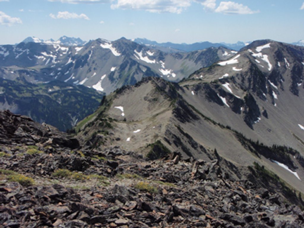
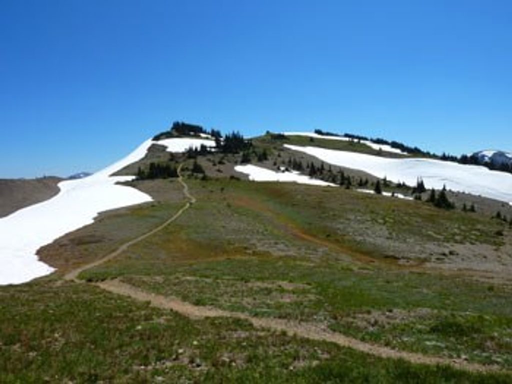
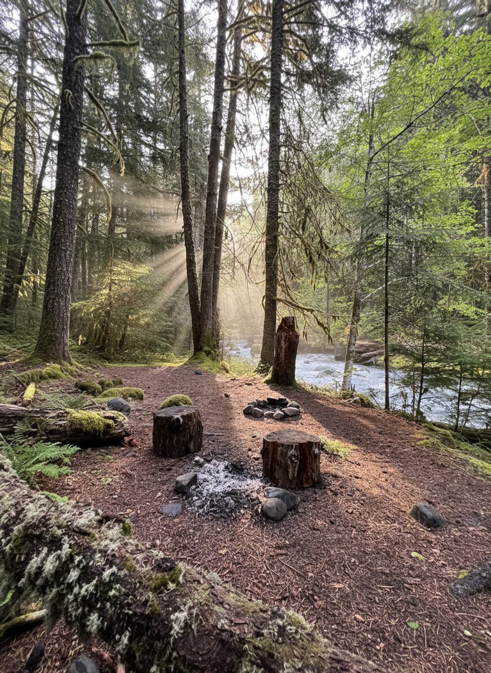
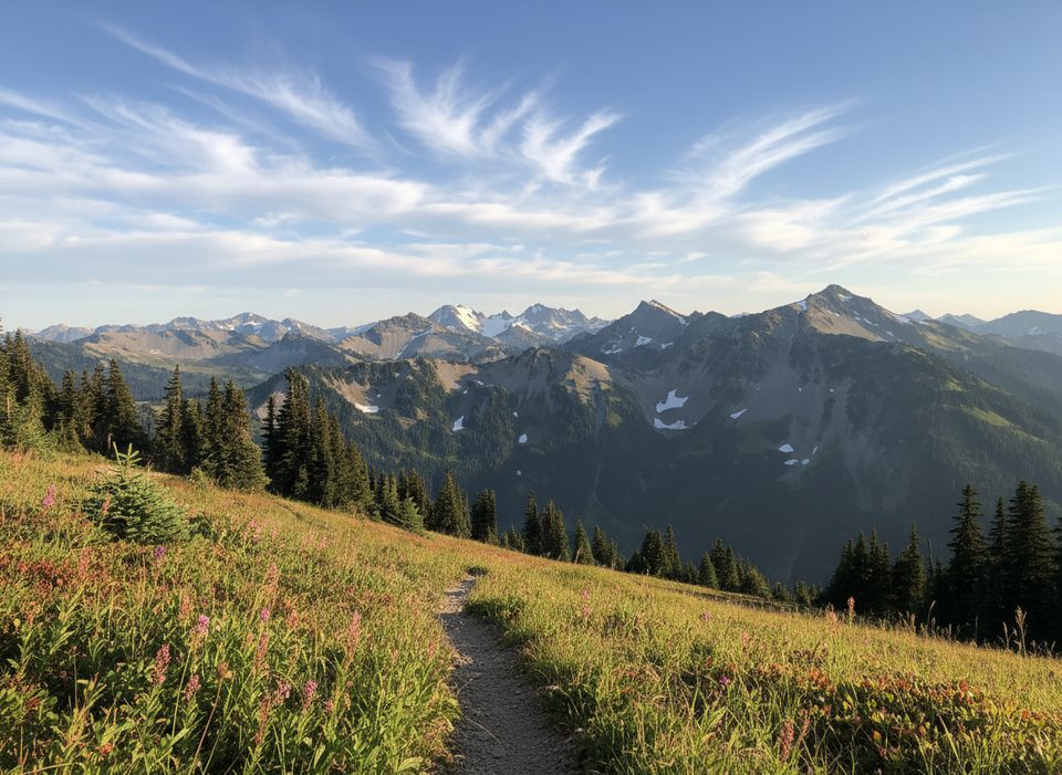
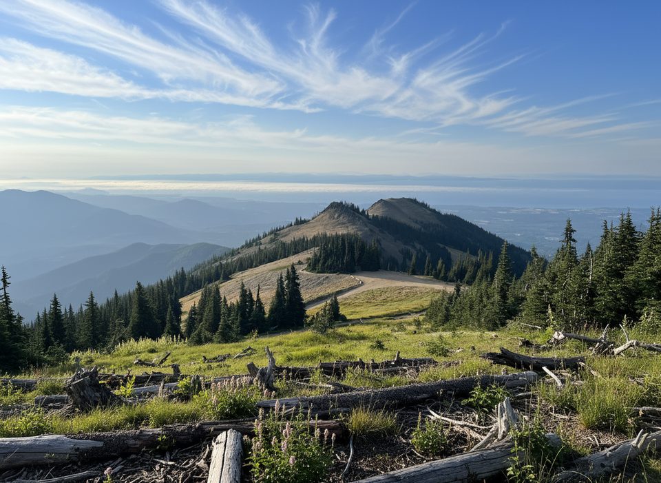
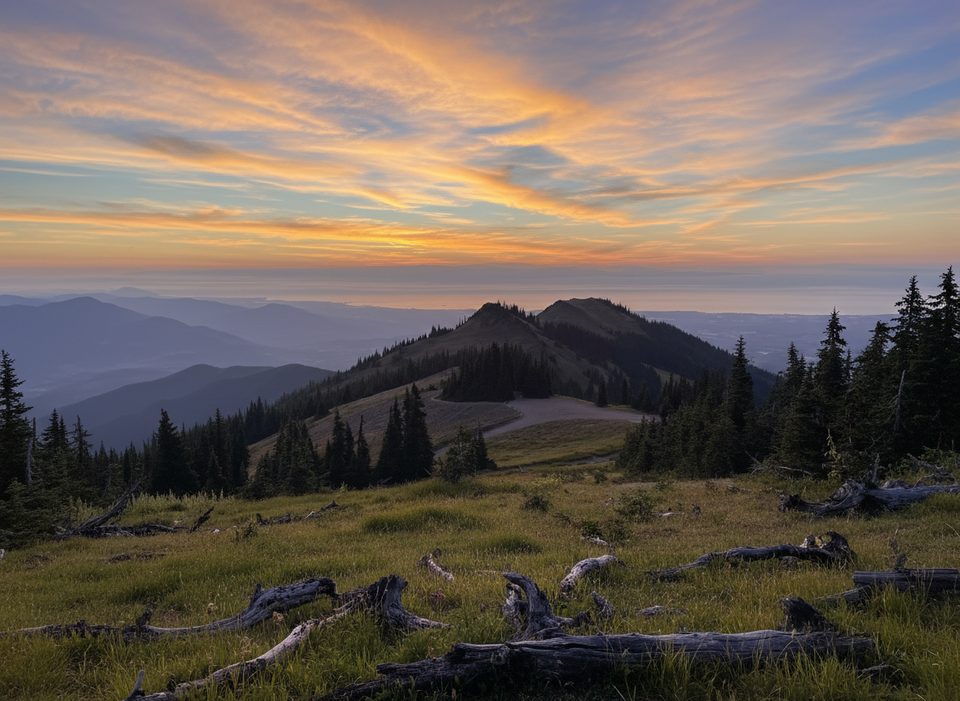
Starting from the Deer Park area, the Grand Creek Trail drops from airy subalpine meadows into lush, shaded forest along the creek. Views come fast and wide up high—think open ridgelines and flower-filled slopes—before the trail settles into a cooler, mossy corridor beside rushing water. It’s a point-to-point route of about 7.5 miles one way to the Grand Creek Campground area; most hikers do it as an out-and-back, which means your return is a stout uphill grind.
Underfoot it’s classic Olympics: dirt and rocky tread, with the occasional talus bit. Expect sections that can be brushy or uneven, and after storms you may find downed trees and muddy stretches. Solitude is a standout here—this corner of the park sees fewer people once you leave Deer Park behind.
Plan for 7.5 miles one way. If you head down from Deer Park and return the same way, the climb back is the crux—roughly 3,200 feet regained on the return. Strong hikers can day-trip it, but many pair segments with nearby routes as part of a bigger backpack.
Subalpine meadows up high give way to old, quiet forest and a lively creek soundscape. Keep an eye out for marmots sunning in the basins and deer moving through the meadows. The broader landscape showcases classic glacial carving—U-shaped valleys, moraines, and talus slopes.
No pets on this backcountry trail. No permit is needed for day use, but you’ll need a wilderness permit for any overnight stay (e.g., at backcountry camps). Water is frequent in streams—filter or purify. Junctions are signed, but fog and fast-changing weather are part of the deal above treeline; carry a topo map or GPS. Expect mosquitoes and flies in midsummer, especially near water. Deer Park Road is a narrow, steep gravel drive and is typically snowbound outside summer.
Late July through early September is the sweet spot. Snow lingers into July at higher elevations, midsummer brings peak wildflowers, and by September quick weather shifts are common. Clear mornings offer your best photography light and the most dependable visibility for those big Deer Park views.
Want lakes and even bigger alpine drama? Nearby Grand Valley (Grand, Moose, and Gladys Lakes) and the climb toward Grand Pass deliver—but they’re tougher and often done as a backpack. For a quieter day with real wilderness feel, sticking to Grand Creek is a rewarding, underrated choice.
Park at the Deer Park Ranger Station area; access via the narrow, steep gravel Deer Park Road, which is often closed by snow outside summer.
Steep return climb; sections can be overgrown with blowdowns and mud. Multiple stream crossings, fast-changing weather and fog above treeline, and limited cell coverage.
Place · 0 mi away
Place · 0.3 mi away
Place · 0.4 mi away
Place · 2.5 mi away
Challenging · 0 mi away
Challenging · 0 mi away
Easy · 0.5 mi away
Easy · 0.5 mi away

Parkwolf Tour Guide
