Challenging

Royal Basin Trail

Olympics’ classic alpine basin: big miles, bigger payoff
Royal Basin Trail, Olympic National Park
Distance16 mi
Typical time10 hr
DifficultyChallenging
PetsNot allowed

Why this hike

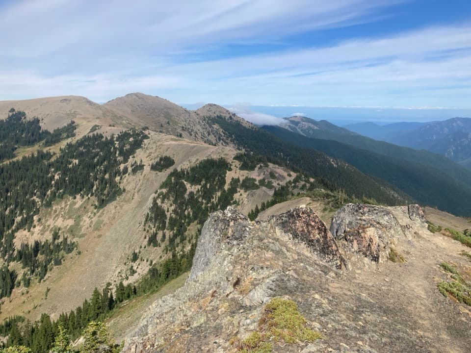
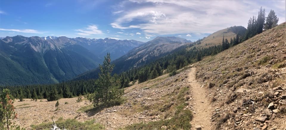
If you want Olympic’s best high-country scenery without technical gear, this is the one. The Royal Basin Trail climbs from mossy, river-hushed old growth to a granite-walled basin dotted with wildflower meadows, waterfalls, tarns, and the jewel-toned Royal Lake—then keeps going into a rugged upper basin that’s a bona fide geology wonder. It’s a long day for fit hikers or a perfect 2–3 day backpack if you want to actually linger and explore.

Distance, effort, and route

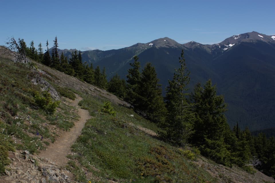
Plan for roughly 14.4 miles round-trip to Royal Lake and about 16 miles total if you continue into the Upper Royal Basin. Expect around 3,800 feet of climbing and an out-and-back route that starts easy and steepens as you gain elevation. About a mile in you’ll hit a bridge—don’t cross it (that’s the Marmot Pass route). Instead, turn right at the sign for Royal Basin and follow Royal Creek. The tread is mellow and well-worn through the forest, then grows rockier and more rugged beyond Royal Lake as you nose into the high basin.

What you’ll see

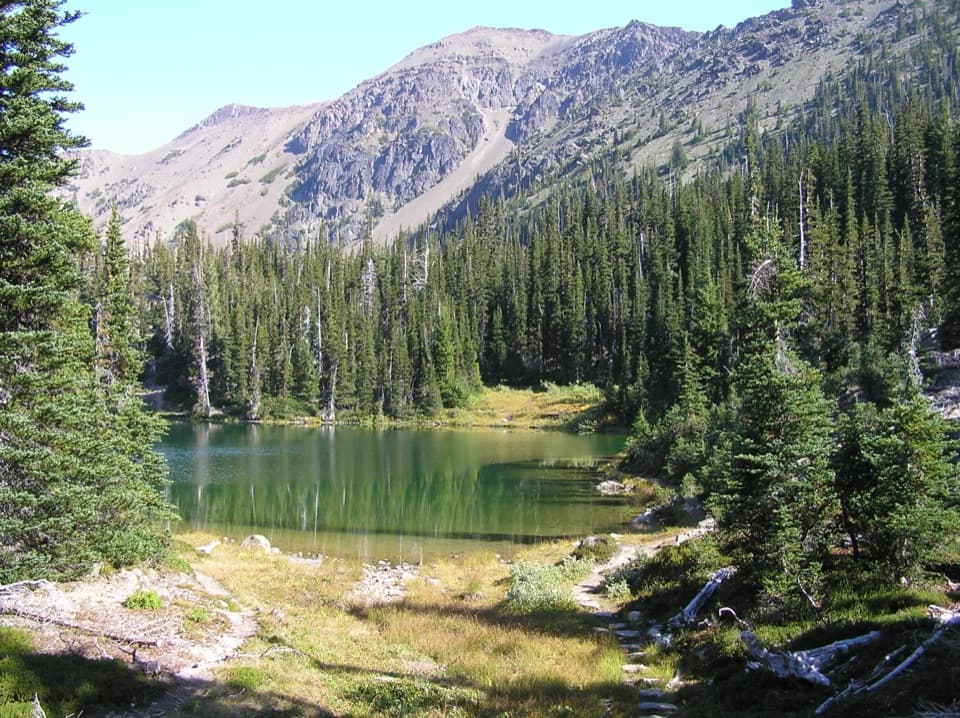
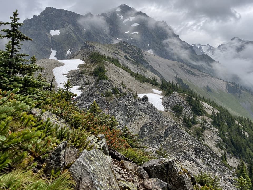
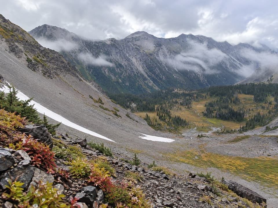
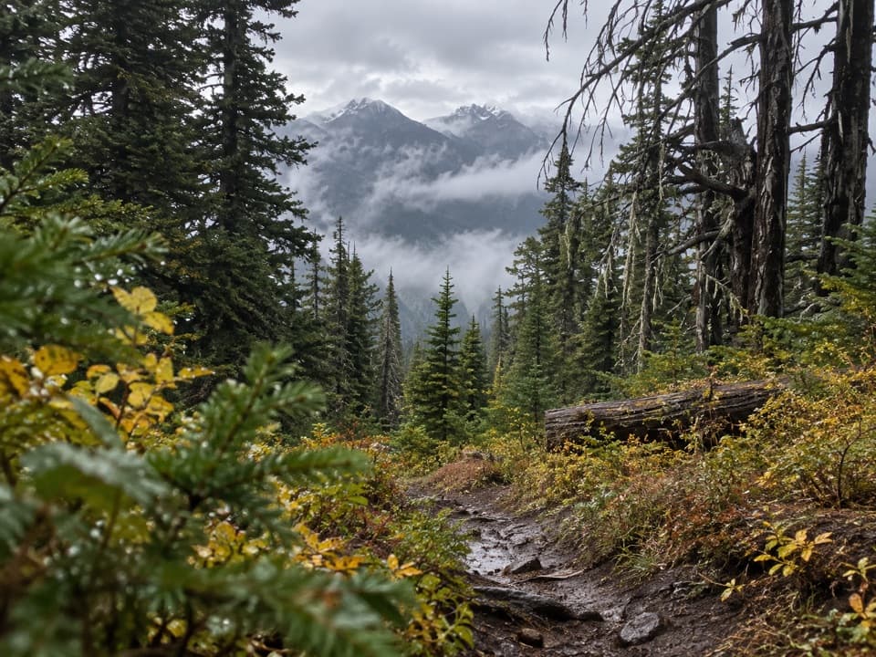
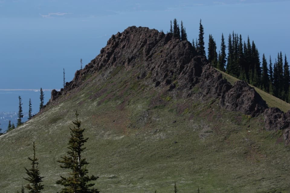
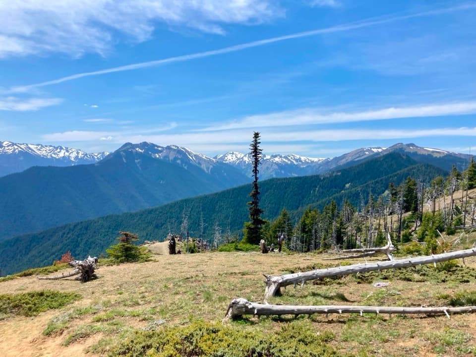
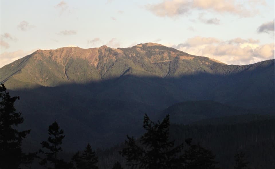
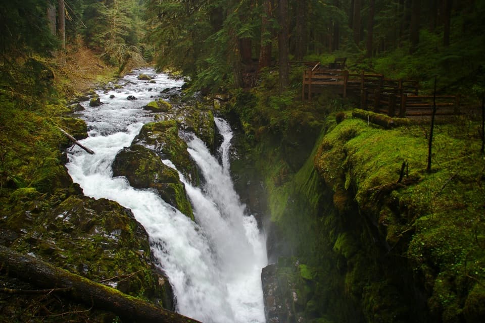
Early miles shadow the Dungeness River and Royal Creek through lush, shaded forest. The trail breaks into avalanche chutes, talus, and wildflower meadows before delivering you to Royal Lake, ringed by crags and often buzzing with marmots and deer. Push a bit farther for Upper Royal Basin: milky-blue glacial tarns, braiding streams, snow patches that can linger, and sprawling meadows framed by jagged peaks such as Mount Deception. This landscape is classic glacier-carved country—U-shaped valleys, moraines, and tarns everywhere you look.

Camping and permits

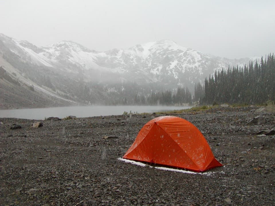
Designated camps exist at Royal Creek (≈3.4 mi), Lower Royal Basin (≈6.3 mi), and Royal Lake (≈7 mi). From May 1–September 30, you’ll need a reserved wilderness permit for any overnight stay, and a bear canister is required for food storage. No dogs. To protect fragile alpine vegetation, camp only in designated sites, and note that campfires are not allowed in Royal Basin/above Royal Creek.

Best time to go

June through October is the typical window; snow can linger into early summer. July–September usually offers the best wildflowers and clearer trails. Start early for cooler temps and better light at the lake and tarns. Mid-summer mosquitoes can be fierce around Royal Lake and the upper basin—pack repellent and a head net if you’re bug-sensitive. Mountain weather turns fast here; carry layers and rain protection even on bluebird mornings.

Tips and cautions

  • Navigation is straightforward, but that early bridge is the classic wrong turn—don’t cross it; follow signs for Royal Basin. Stick to the established trail; ridge shortcuts become hazardous bushwhacks.
  • Water is available from creeks and the lake—treat all of it.
  • For overnights, permits are competitive; reserve early. A bear canister is mandatory.
  • This is a strenuous day for most. If you want to actually explore the upper basin’s tarns and meadows, make it an overnight.

Comparable hike: If you’re after an alpine lake day hike that’s shorter and still scenic, consider other Dungeness drainage objectives—but for sheer basin drama, Royal Basin is the higher reward.

Pros

  • Well-maintained approach lets you cruise miles before the real climb
  • Upper basin offers a maze of tarns and meadows worth extra exploring

Cons

  • High-demand permits and limited designated camps fill quickly
  • Rugged terrain beyond Royal Lake slows travel more than maps suggest

Parking

Park at the Upper Dungeness Trailhead; display a NW Forest Pass or America the Beautiful pass if required.

Caution

Do not cross the early bridge to Marmot Pass; turn right for Royal Basin. Expect lingering snow, intense mosquitoes mid-summer, and fast-changing weather. Bear canister required; no campfires above Royal Creek.

The Parkwolf tour guide sitting on a phone mounted in a car

Parkwolf Tour Guide

Like a tour guide in your car.

Bring Olympic trail research into the car, with offline maps and stories that play as you drive.Download Parkwolf on the App Store