Overview
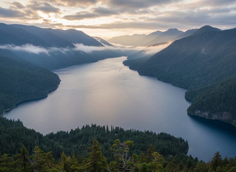
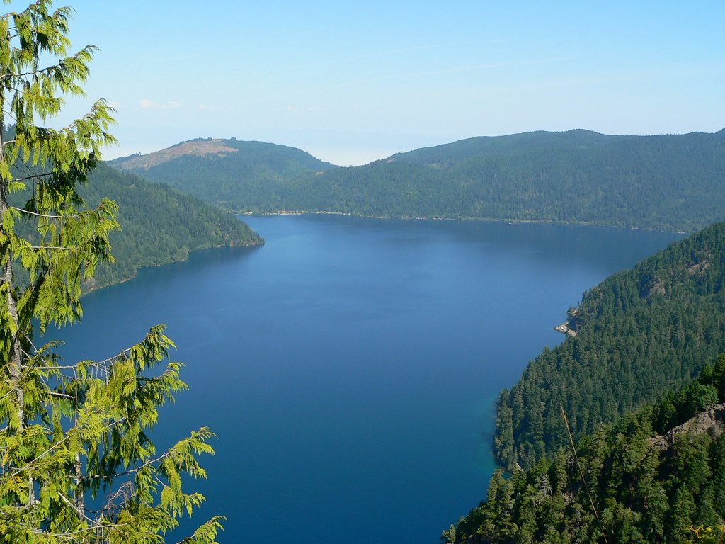
Mount Storm King Viewpoint is the park’s punchiest payoff hike: short, steep, and wildly scenic. From high above Lake Crescent, you get a sweeping, big-mountain panorama that feels far more alpine than the mileage suggests.
The Hike, Quickly
- Distance/elevation: roughly 4–5 miles round-trip with about 2,000 feet of gain.
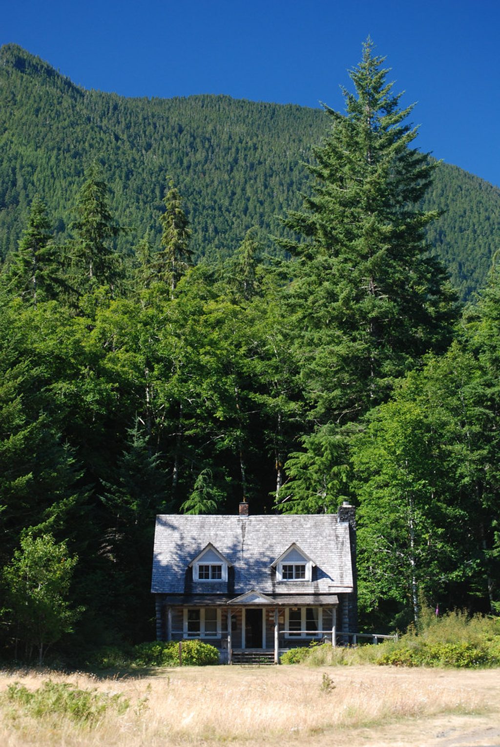
- Start: Marymere Falls Trail near the Storm King Ranger Station on Lake Crescent’s south shore; the Storm King path splits uphill from Marymere.
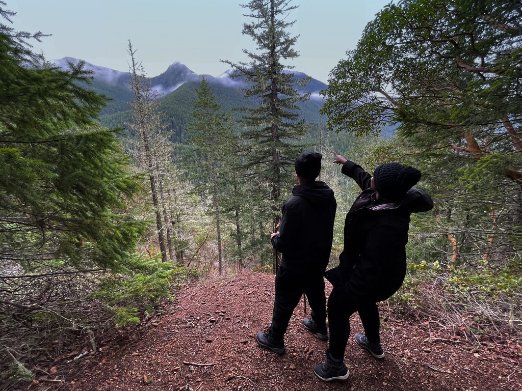
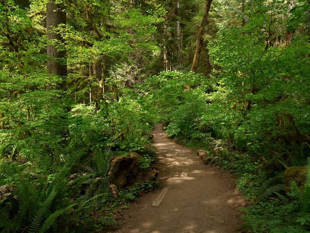
- Character: relentless switchbacks through lush forest, then a rough, exposed finish that includes rope-assisted scrambles beyond the end of the maintained trail.
What Makes It Special
This isn’t just another viewpoint—Storm King delivers a dramatic, cliff-edge overlook straight down to cobalt-blue Lake Crescent with layers of rugged Olympics beyond. On clear days, distant water and islands can pop into view. It’s a rare combo of rainforest approach and airy summit feel.
Safety and Conditions
- The rope section is unofficial and not maintained—proceed only if you’re comfortable with exposure and scrambling.
- The trail can be muddy, dusty, or slick after rain; traction matters, especially on descent.
- Weather shifts quickly; wind and wet rock raise the risk. Skip the scramble in poor conditions.
- Cell service is spotty; carry water, snacks, and an offline map. Trekking poles help; light gloves are great for the ropes.
Wildlife
You might spot deer, busy jays or other birds, squirrels, and—occasionally—black bears in the broader area. Stay alert, give wildlife space, and secure your food.
Logistics and Amenities
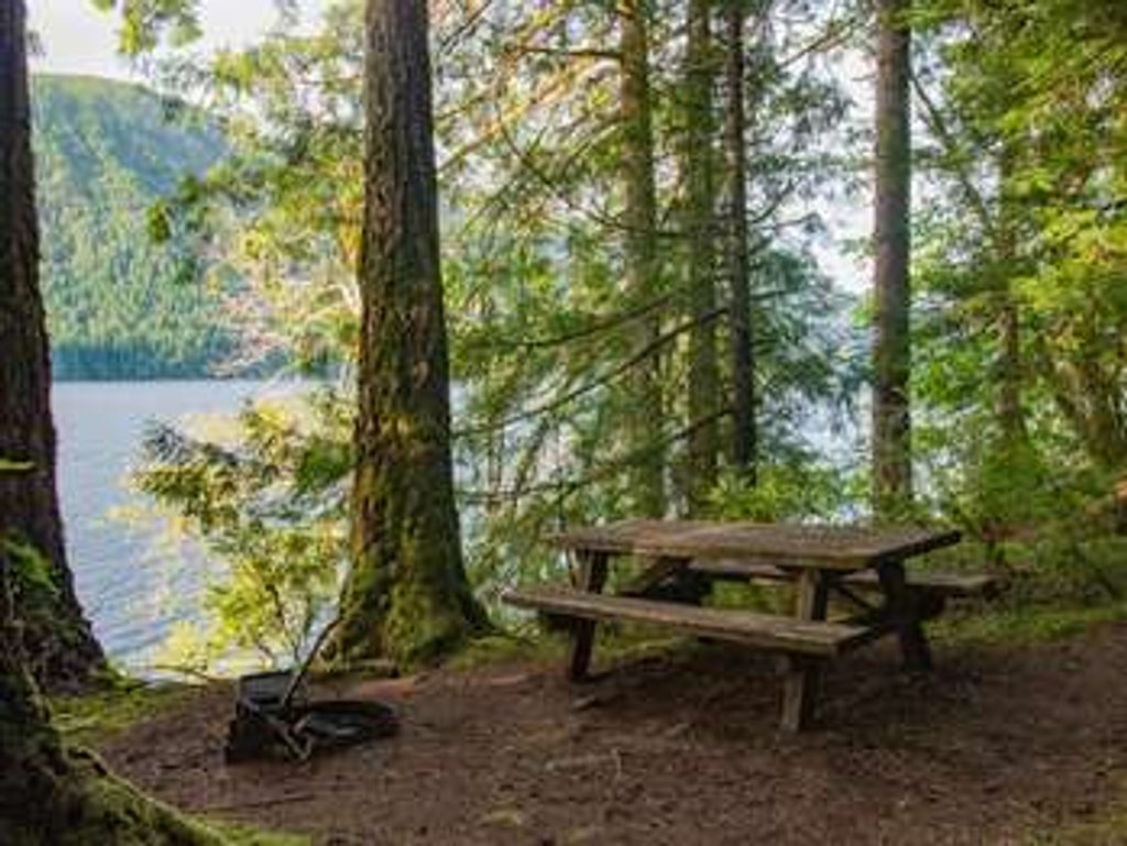
- Parking, restrooms, and picnic tables are at the Marymere Falls/Storm King Ranger Station trailhead; there are no facilities on the trail or at the viewpoint.
- A National Park Pass is required for parking.
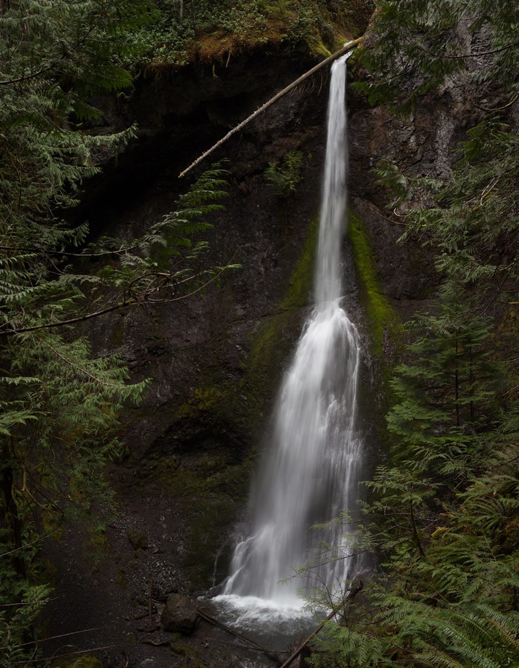
- Many hikers add nearby Marymere Falls before or after to round out the day.
Best Time to Visit
- Aim for early morning on weekdays to beat crowds and secure parking.
- For photography, soft light at sunrise or late afternoon flatters Lake Crescent’s color and the ridge lines.
- Avoid rainy or windy days if you plan to do the rope section—conditions magnify the exposure.