Parking
Use the paved horseshoe lot beside Storm King Ranger Station at Barnes Point. Start on the Marymere Falls trail; at about 0.5 mile, watch for the boulder and sign marking the sharp uphill turn. Restrooms are near the station.

Olympic National Park, WA
Steep switchbacks end at a tree-framed Lake Crescent view.
Overview
Mount Storm King Trail is a strenuous 4.4-mile out-and-back from Storm King Ranger Station to the signed end of the maintained trail and back. The total includes about half a mile on the Marymere Falls approach in each direction; the 1.7-mile figure starts at the Barnes Creek junction, not the parking area. A broad lakeside path gives way to steep switchbacks and a wooded climb, with openings toward Barnes Creek valley, Lake Crescent and the Strait. Plan about four to five hours for this maintained route; that is an effort-based estimate, not a posted trail time. Come ready for a sustained climb and careful descent, not an easy lake stroll.
 Parkwolf’s verdictThe climb and who it suits
Map & elevation
Plan your hike

The highest, rockiest slopes around here are a summer buffet for grizzly bears.
Olympic Tour Guide
Parkwolf is a GPS audio tour guide for Olympic National Park. As you drive, it chimes in with what’s ahead: hidden gems, upcoming stops, history, geology, and wildlife, right through your car’s speakers.
See the Olympic audio tourRecorded for this trailhead
Marymere Falls and Barnes Point“You're coming up on Barnes Point, the starting area for Marymere Falls. The walk takes you through mossy old-growth forest to a narrow, ninety-foot drop.”
Plays as you drive up to this trailhead in the Parkwolf Olympic Tour Guide.
More stories near here in the app
“Fantastic app with many points of information… It’s great to just turn on while you’re driving and it gives you an audio tour of the national Park. We love it!!!!”


Trail guide
Start on the wide, mostly level Marymere Falls Nature Trail and pass beneath Highway 101. At about half a mile, a boulder and sign mark the sharp uphill turn for Storm King. Watch for it on the way out; the easier path continues toward the falls. On the return, take the signed turn back toward Marymere and the ranger station.
The lower Storm King trail climbs through damp forest on steep switchbacks. About half a mile above the junction, the grade eases briefly before the trail traverses a drier slope among large cedars and hemlocks. Higher up, madrone and manzanita appear among the trees. Openings give intermittent looks into Barnes Creek valley and across Lake Crescent, then close in again; this is not a long open ridge walk. The route gains about 2,000 feet, and the same steep tread makes the descent tiring too. Pace the climb and leave time for a deliberate walk down.
At the signed end of the maintained trail, a rocky shoulder looks through trees toward Lake Crescent and the Strait of Juan de Fuca. It is the mapped turnaround and the clearest maintained-route photo stop: keep the rough tread and trees in the foreground with the lake beyond. The familiar summit outcrop lies past the End of Maintained Trail sign, on an exposed, loose-rock climber path. That continuation is outside this route. Ropes visitors sometimes install there are not maintained by the park and may be unsafe; do not count on them or include the scramble in your plan.
Lake Crescent fills a valley carved by ice and reaches 624 feet deep. About 7,000 years ago, a massive landslide separated it from nearby Lake Sutherland. The isolation left the lake with two trout found nowhere else, Beardslee and Crescenti. You see only slices of the water from the maintained shoulder, but those glimpses are the payoff for the climb.
Wildlife
 710 sightingsOlympic MarmotMost seen around 11 AMSighting map
 30 sightingsHumpback WhaleMost seen around 6 PMSighting map
 42 sightingsGrey WhaleMost seen around noonSighting map
 23 sightingsMountain LionMost seen around 8 PMSighting map
 71 sightingsMountain GoatMost seen around 7 AMSighting map
 306 sightingsBald EagleMost seen around 11 AMSighting map
Sighting maps show where each species has been reported across Olympic. Wildlife moves, so no sighting is guaranteed.
Keep exploring
 ModerateMarymere Falls Trail1.8 mi · 1.3 hr · At the trailheadOld-growth forest leads to close views of a 90-foot waterfall
 ChallengingUpper Barnes Creek Primitive Trail18.5 mi · 12 hr · At the trailheadA hard 18-mile out-and-back to a quiet creek divide.
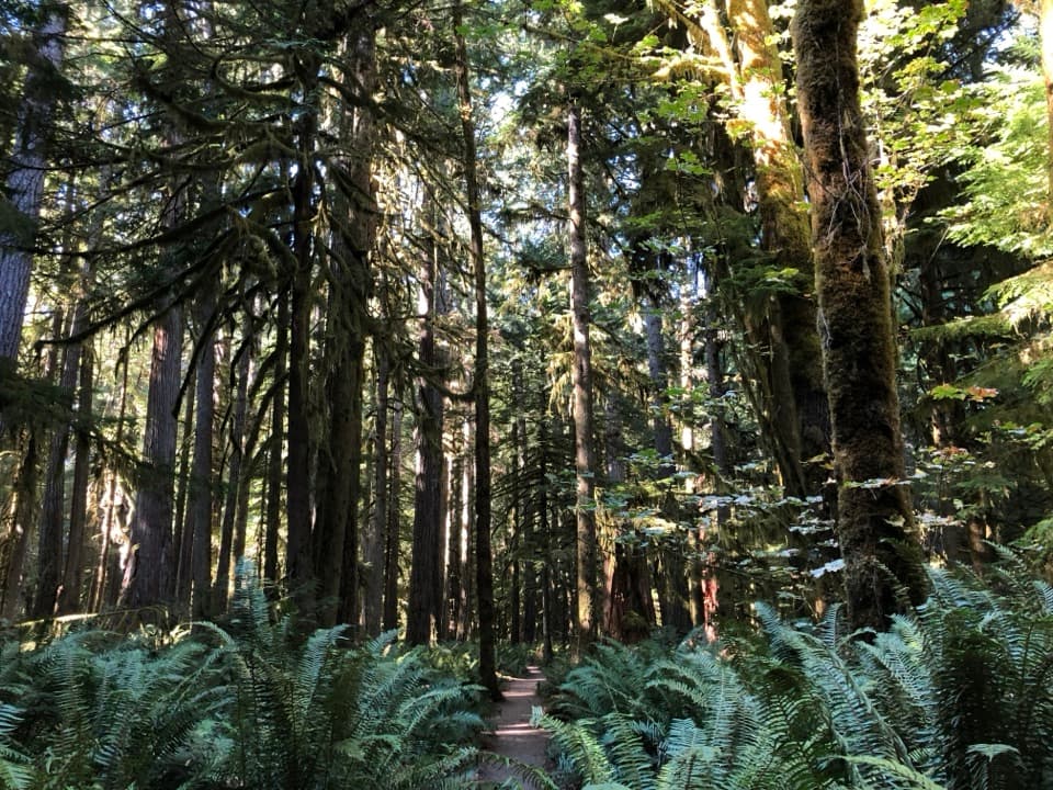 EasyMoments in Time Trail1 mi · 36 min · At the trailheadA mossy forest walk with a short Lake Crescent shoreline stretch.
 ChallengingAurora Divide Trail14.5 mi · 11.5 hr · 0.1 mi awayA long forest climb reaches a ridge above Lake Crescent.
 ModerateBarnes Creek Trail6.6 mi · 4 hr · 0.4 mi awayA steady creekside climb to the upper trail junction.
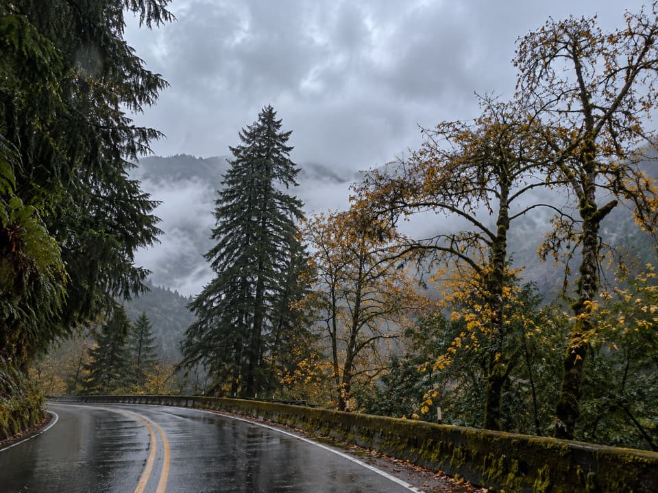 ChallengingAurora Creek Trail6.8 mi · 6 hr · 2.4 mi awayA shaded leg-burner to the Aurora Ridge junction.
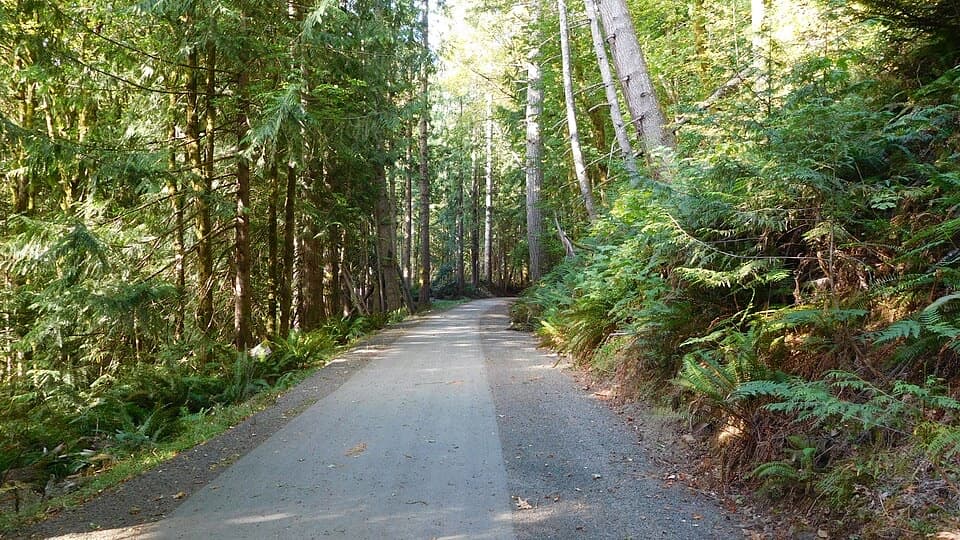 EasyOlympic Discovery Trail — Lake Crescent West6.5 mi · 3 hr · 2.4 mi awayA paved wheelchair-accessible link follows Lake Crescent’s north shore.
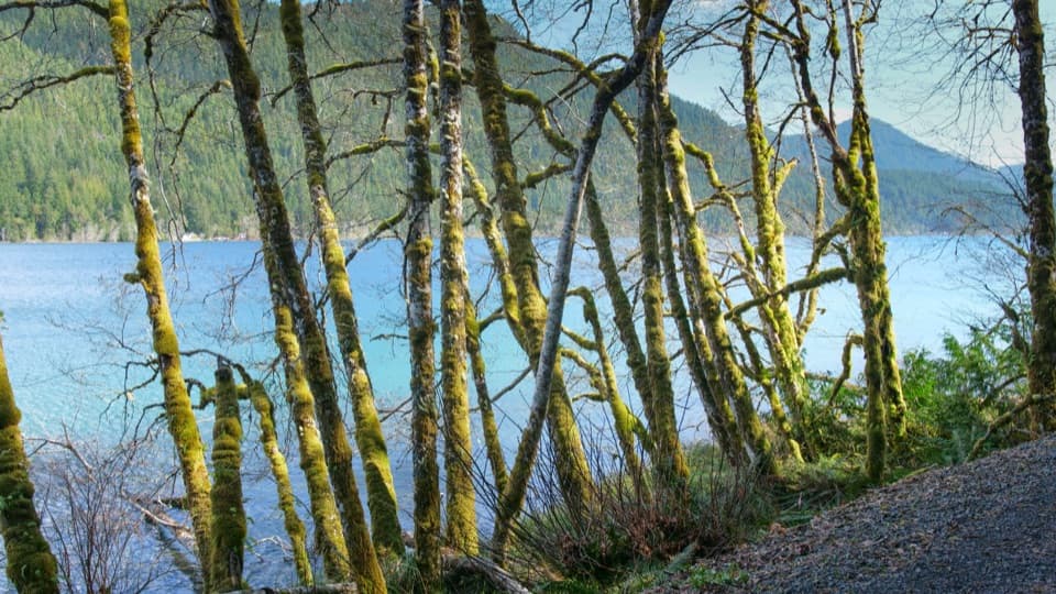 EasySpruce Railroad Trail4 mi · 2 hr · 2.5 mi awayWalk a paved old railroad grade beside Lake Crescent.
 Ranger station · At the trailheadStorm King Ranger StationA historic log cabin with stories of Lake Crescent ferries and trout.
 Sight · 0.1 mi awayStorm King Boat LaunchA short dock stop for clear water and mountain views.
 Picnic area · 0.5 mi awayBovee's MeadowCross the meadow for a picnic beside Lake Crescent.
 Lodging · 0.5 mi awayLake Crescent LodgeA 1916 lodge for slow days on Lake Crescent.
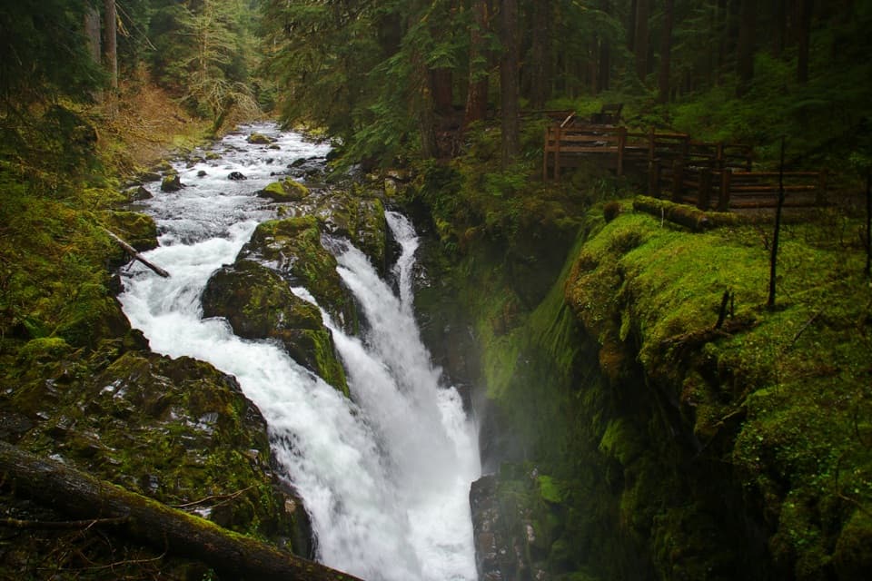
 Sight · 0.5 mi awayMarymere FallsA mossy old-growth walk ends at a two-level waterfall view.
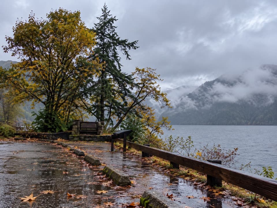 Scenic pullout · 1.3 mi awayLake Crescent Scenic Pull-OffA quick roadside pause for Lake Crescent beneath the Olympic Mountains.
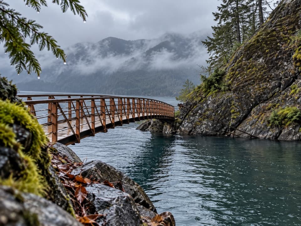 Sight · 1.7 mi awayDevils PunchbowlA clear-water cove framed by a curved footbridge.
 Lodging · 2.5 mi awayLog Cabin ResortCabins, camping and boat rentals in a seasonal Lake Crescent base.
Parkwolf’s Olympic ranking
The audio tour guide for the drive, plus offline maps, trails, and wildlife heatmaps for when the signal drops.