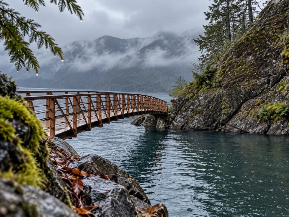
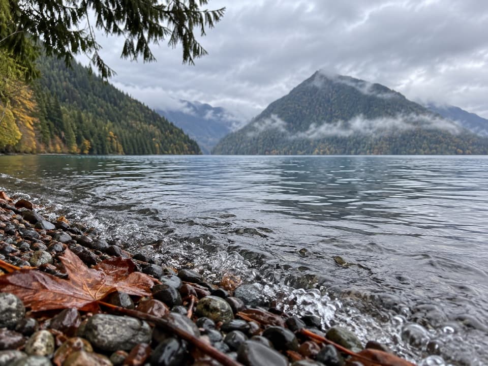
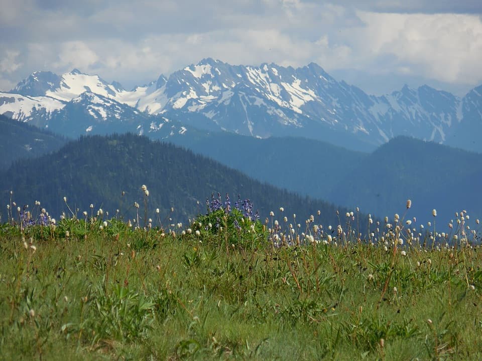
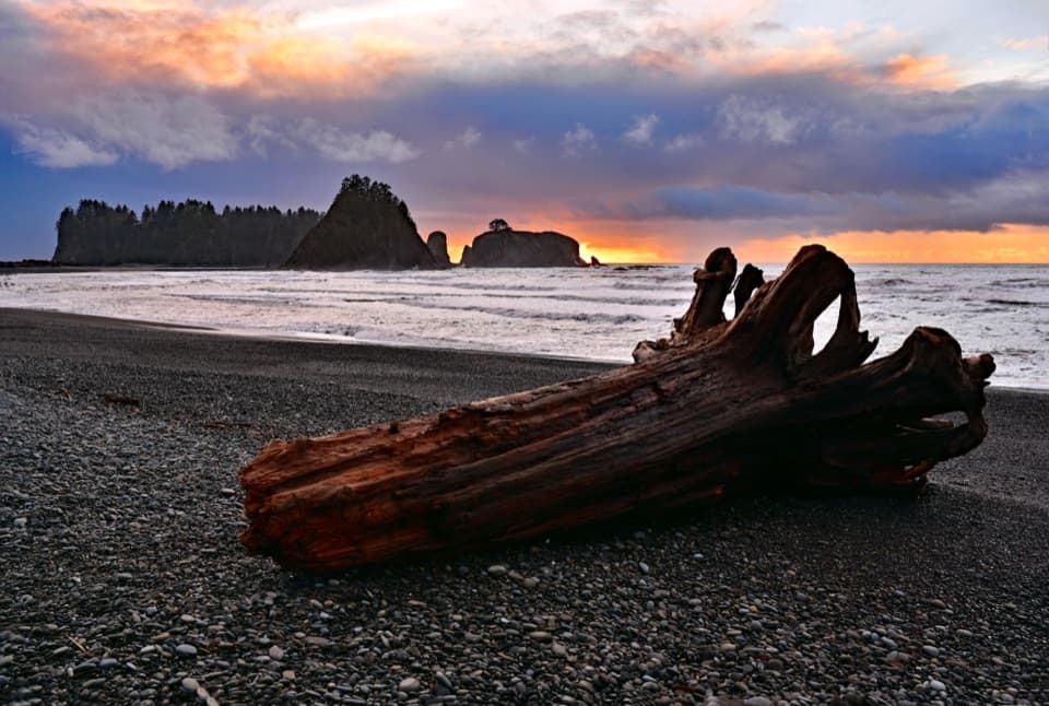
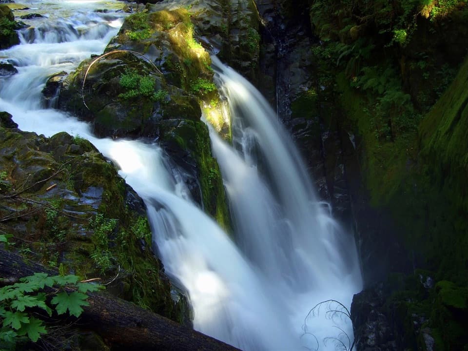
Marymere Falls in Olympic National Park

#5 of 50 sights in Olympic

Sight · Olympic National Park

Marymere Falls

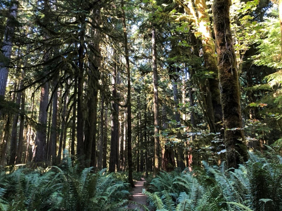
A mossy old-growth walk ends at a two-level waterfall view.

Photo: Wikimedia Commons
Type
Sight
Nearest trail
0.1 mi
Audio stories
4 nearby
  • Parking
  • Restrooms
  • Scenic viewpoint

Hear the audio tour

Marymere Falls and Barnes Point

Overview

About Marymere Falls

Why stop

  • The old-growth approach is rewarding even before the waterfall.

Heads up

  • The final stairs are steep, and the narrow cascade may feel less forceful than expected.

Map

Where it is

Loading the Olympic map
Full map
SightMarymere Falls48.05030, -123.78834
Keep this map with you offline in the Parkwolf app

Plan your stop

Before you go

6 active Olympic alerts

  • CautionUS 101 Hoh River Bridge reduced to one laneUS 101 at the Hoh River Bridge is restricted to one lane of alternating traffic; obey the signals and 25 mph speed limit.Official details
  • ClosureStaircase wilderness trails and campsites remain closedWilderness trails and campsites around Staircase remain closed during recovery from the Bear Gulch Fire; the developed Staircase area, including the Rapids Loop, campground, and ranger station, is…Official details

See all 6 alerts
A park ranger sits on a dash-mounted phone, talking, as Parkwolf’s Tour Guide plays “Army Cutworm Moths: A Grizzly Bear Buffet” on Grand Loop Road below Dunraven Pass in Yellowstone
Parkwolf Tour GuideThe highest, rockiest slopes around here are a summer buffet for grizzly bears.

Olympic Tour Guide

Your drive to Marymere Falls, narrated.

Parkwolf is a GPS audio tour guide for Olympic National Park. As you drive, it chimes in with what’s ahead: hidden gems, upcoming stops, history, geology, and wildlife, right through your car’s speakers.

See the Olympic audio tour

Recorded for this place

Marymere Falls and Barnes Point
0:00 / 0:32
“You're coming up on Barnes Point, the starting area for Marymere Falls. The walk takes you through mossy old-growth forest to a narrow, ninety-foot drop.”

Plays as you drive up to Marymere Falls in the Parkwolf Olympic Tour Guide.

More stories near here in the app

  • Lake Crescent Lodge: A Lakeside Break
  • The Chalet That Moved
  • Lake Crescent Scenic Pull-Off
  • Aurora Creek: A Steep Forest Climb
  • 204 audio storiesacross Olympic’s roads, triggered by GPS as you drive
  • Wildlife heatmapsfor Olympic Marmot, Humpback Whale, Grey Whale, and 13 more
  • Works offlinemaps, 148 trails, 94 places, and audio download before you lose signal
  • CarPlay readysimple controls built for the drive
★★★★★
“Fantastic app with many points of information… It’s great to just turn on while you’re driving and it gives you an audio tour of the national Park. We love it!!!!”
JMJamesApp Store review
Download Parkwolf on the App StoreGet Parkwolf on Google Play

4.7 from 8,600+ ratings

Guide

More about Marymere Falls

A waterfall with a forest walk attachedMarymere Falls is a 90-foot waterfall on Lake Crescent’s south shore, reached by the lake’s…

Marymere Falls is a 90-foot waterfall on Lake Crescent’s south shore, reached by the lake’s most popular day hike. The water makes a narrow drop rather than a broad curtain, so the old-growth forest route and the two viewing platforms are part of the payoff. It is a rewarding short outing if you want a shaded walk as well as a waterfall; some visitors find the falls less forceful than the height suggests.

The forest approachThe trail is 0.

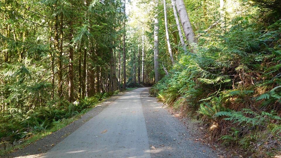
The trail is 0.9 mile each way from the Storm King Ranger Station, with another access point at Lake Crescent Lodge. It starts on a paved path, then passes through old-growth conifers and maples, moss, sword ferns and creek crossings. Save energy for the stairs near the end: they climb to the waterfall viewpoints, and the final section can feel steeper than the short distance implies.

Two views of the same dropThe trail loops to an upper hillside platform looking down into the falls and a lower platform…

The trail loops to an upper hillside platform looking down into the falls and a lower platform opposite the base. Try both if the stairs suit you. The upper view shows the creek’s notch in the cliff; the lower one puts the falling water and plunge pool in front of you. For a photo, keep some of the mossy rock and ravine around the water so the setting stays in the frame.

A name from the Barnes familyMarymere honors Mary Alice Barnes, sister of Charles Barnes, a member of the Press Expedition…

Marymere honors Mary Alice Barnes, sister of Charles Barnes, a member of the Press Expedition and a homesteader along Lake Crescent. The name ties the waterfall to the lake’s early settlement history.

How the creek made the fallsFalls Creek wore through a resistant rock layer and then eroded the weaker rock beneath it more…

Falls Creek wore through a resistant rock layer and then eroded the weaker rock beneath it more quickly, leaving the 90-foot drop. The creek’s path through that harder surface is why the waterfall breaks through a notch instead of spilling over a smooth rim.

Life along the creekThe surrounding forest includes western hemlock, Douglas-fir and western redcedar.

The surrounding forest includes western hemlock, Douglas-fir and western redcedar. Barnes Creek’s gravel shallows provide spring spawning habitat for salmonid trout; frogs, salamanders and aquatic insects also live in and around the water. The creek carries rain and snowmelt through a forest that stores and releases that water.

Plan the stopFollow the signed Lake Crescent turnoff from US 101 to the paved parking area near Storm King…

Follow the signed Lake Crescent turnoff from US 101 to the paved parking area near Storm King Ranger Station at Barnes Point. Restrooms are available in the Barnes Point area, and the NPS also lists Lake Crescent Lodge as an access point. This is a popular trail; summer midday visits can feel busy, so an earlier or later start may mean an easier time parking and getting space at the platforms. Dogs and bicycles are not allowed on park trails except the Spruce Railroad Trail.

Wildlife

Wildlife in Olympic

All Olympic wildlife maps

Sighting maps show where each species has been reported across Olympic. Wildlife moves, so no sighting is guaranteed.

Keep exploring

Near Marymere Falls

See it all on the map

Trails nearby

More stops nearby

Parkwolf’s Olympic ranking

Top sights in Olympic

All 94 places
  1. 1Hurricane RidgeSight
  2. 2Ruby BeachBeach
  3. 3Rialto BeachBeach
  4. 4Sol Duc FallsSight
  5. 6Second BeachBeach
  6. 7Tree of LifeSight

Take Parkwolf to Olympic.

The audio tour guide for the drive, plus offline maps, trails, and wildlife heatmaps for when the signal drops.

4.7 from 8,600+ ratings

Download Parkwolf on the App StoreGet Parkwolf on Google Play