
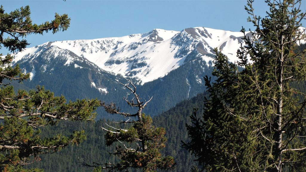
Place · 0.5 mi away
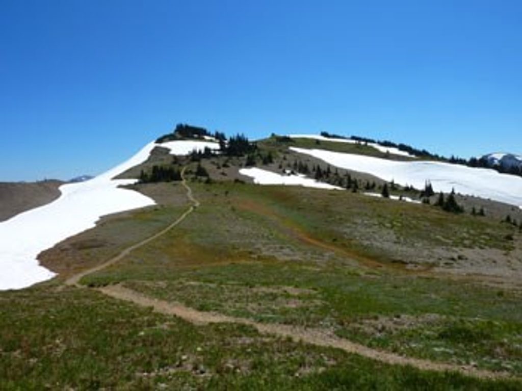
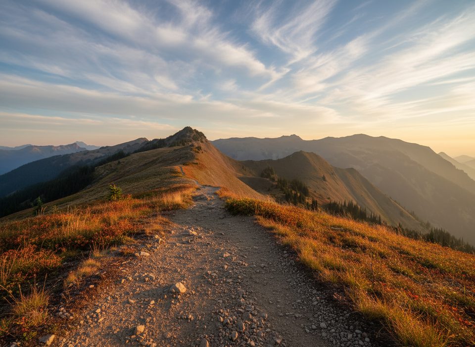
Obstruction Point is the high-country trailhead at the very end of Obstruction Point Road, a rough 8-mile gravel spur off Hurricane Ridge. At roughly 6,150 feet, you step straight into the Olympic alpine: open ridgelines, wildflower meadows, and panoramic views that make the drive worth the nerves.
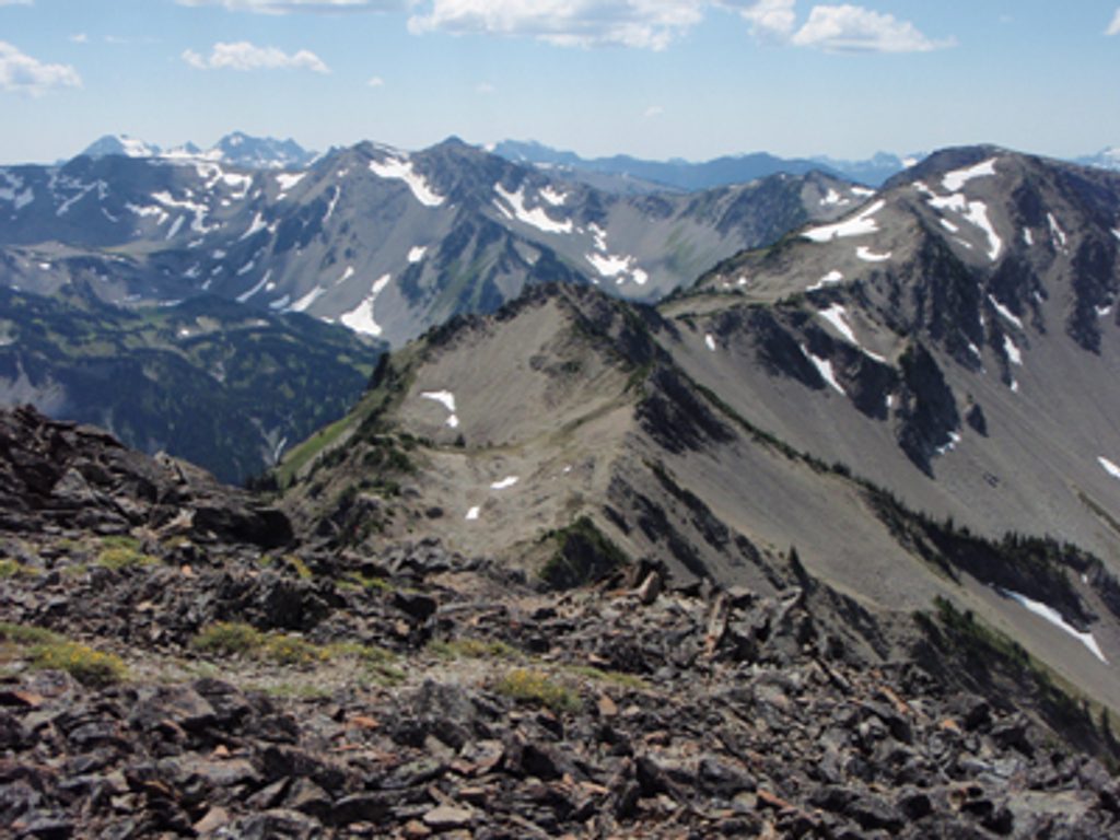
This is reached by the park’s highest road, which feels like a ridge-top traverse in its own right. The payoff is immediate: sweeping 360-degree vistas toward Mount Olympus, the Bailey Range, and a spiderweb of classic high-country routes. Compared to Hurricane Ridge, it’s more backcountry-forward and usually feels wilder when the road is open.
Obstruction Point Road is narrow, gravel, and cliffy in places with no guardrails. It’s routinely described as intimidating and is not suitable for trailers or RVs. Expect dust, loose gravel, and tight passing. Go slow, yield to uphill traffic, and be ready for pullouts. The road typically opens mid-July into early fall and can close abruptly—always check current conditions before committing.
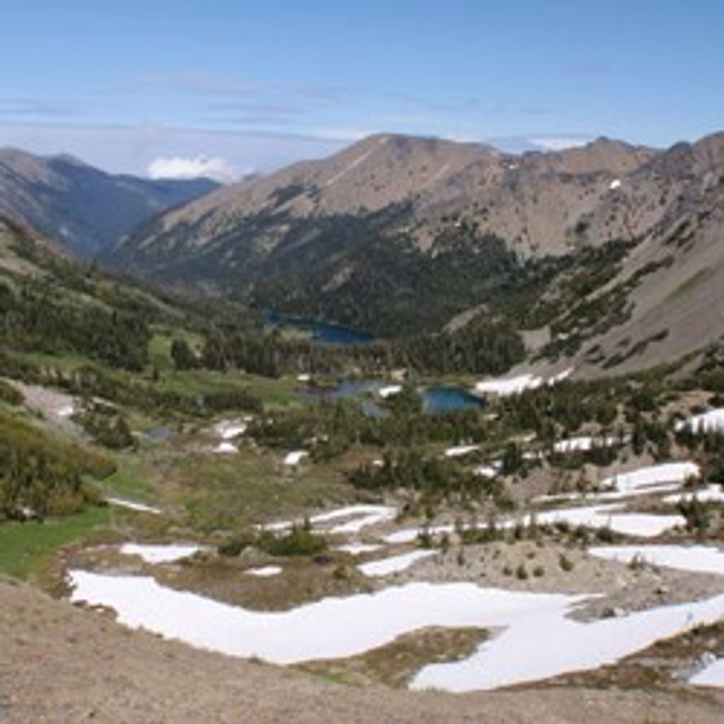
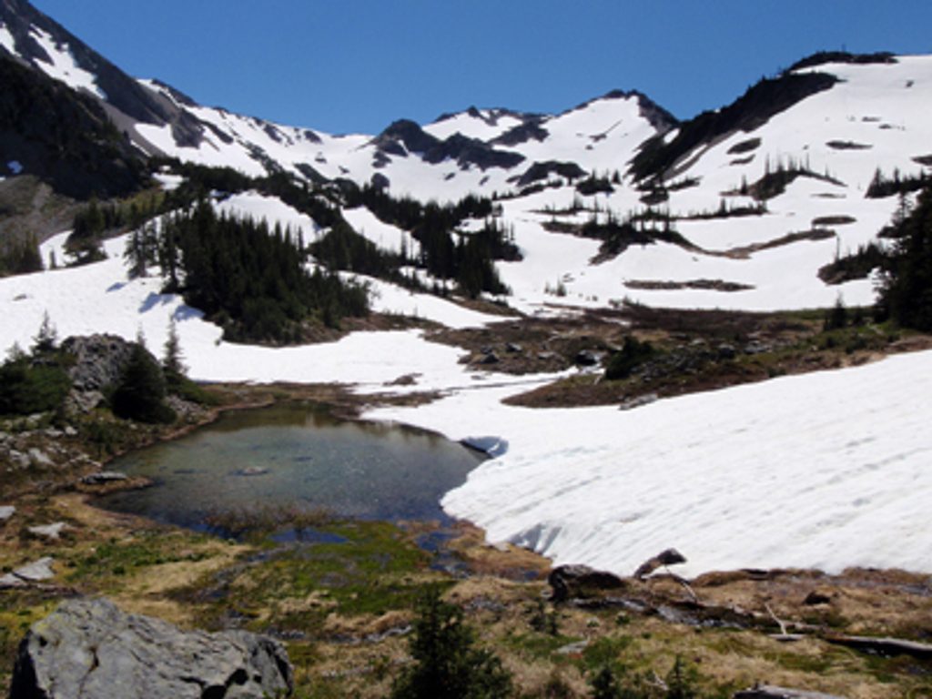
This is a launchpad for some of the park’s best alpine hiking. Options fan out along Grand Ridge, down into Badger Valley, and into the Grand Valley/Grand Pass basin with lakes like Grand and Moose. You can also connect one-way toward Deer Park if you’ve arranged a shuttle. Expect lingering snow patches into summer.
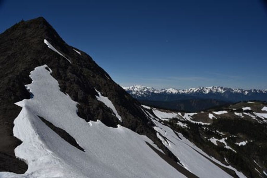
Keep an eye out for Olympic marmots sunning on rocks, black-tailed deer, and subalpine birds. Mid-to-late summer brings a strong wildflower show in the meadows. Snow can linger on shaded slopes well into July.
Amenities are minimal: a small parking lot, a vault toilet, and that’s about it. There’s no potable water, food, or cell service—bring everything you need. Parking fills when the road is open, especially on weekends. Bicycles are not permitted beyond the trailhead into the adjacent wilderness singletrack.
The road is a relic of ambitious 1930s-era plans to link the high ridges of the Olympics. The ridgeline terrain here is shaped by glaciation and built from uplifted Eocene sandstones and basalts—steep, serrated, and dramatic.
Place · 0.5 mi away
Place · 1.6 mi away
Place · 2.5 mi away
Place · 2.5 mi away
Challenging · 0 mi away
Challenging · 0 mi away
Challenging · 0 mi away
Moderate · 0 mi away

Parkwolf Tour Guide
