
Place · 0 mi away
Challenging
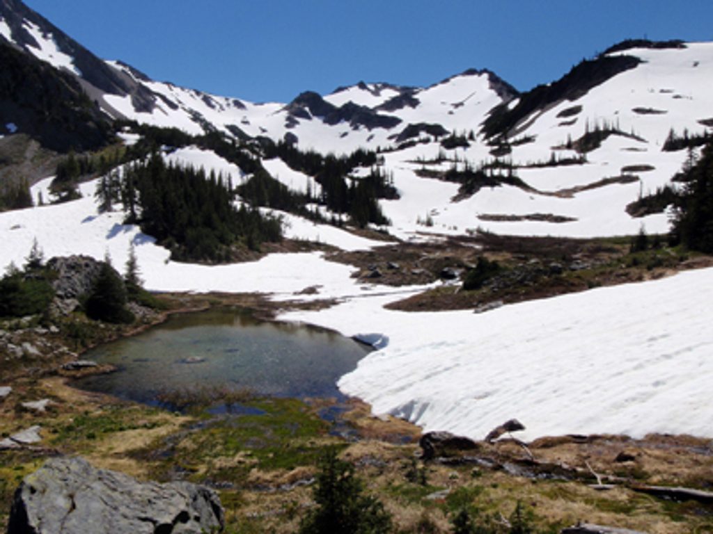
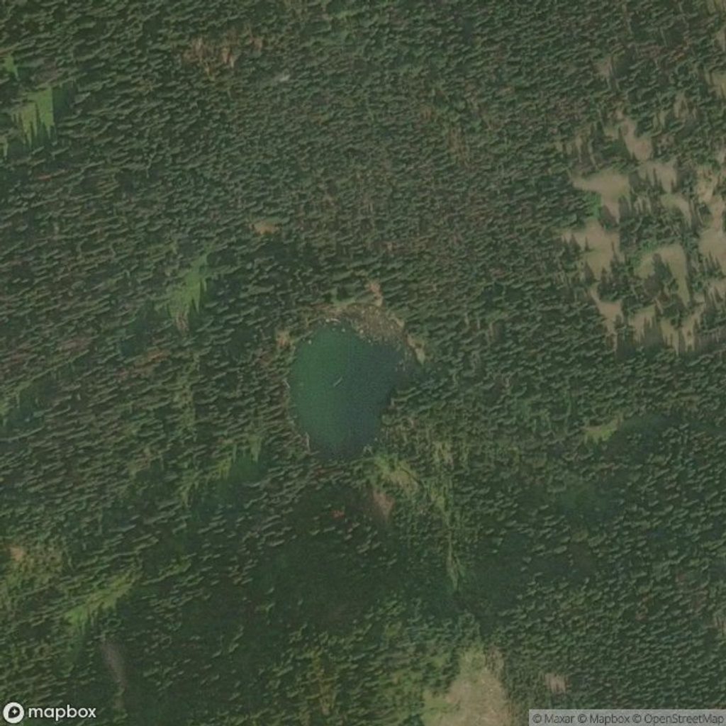
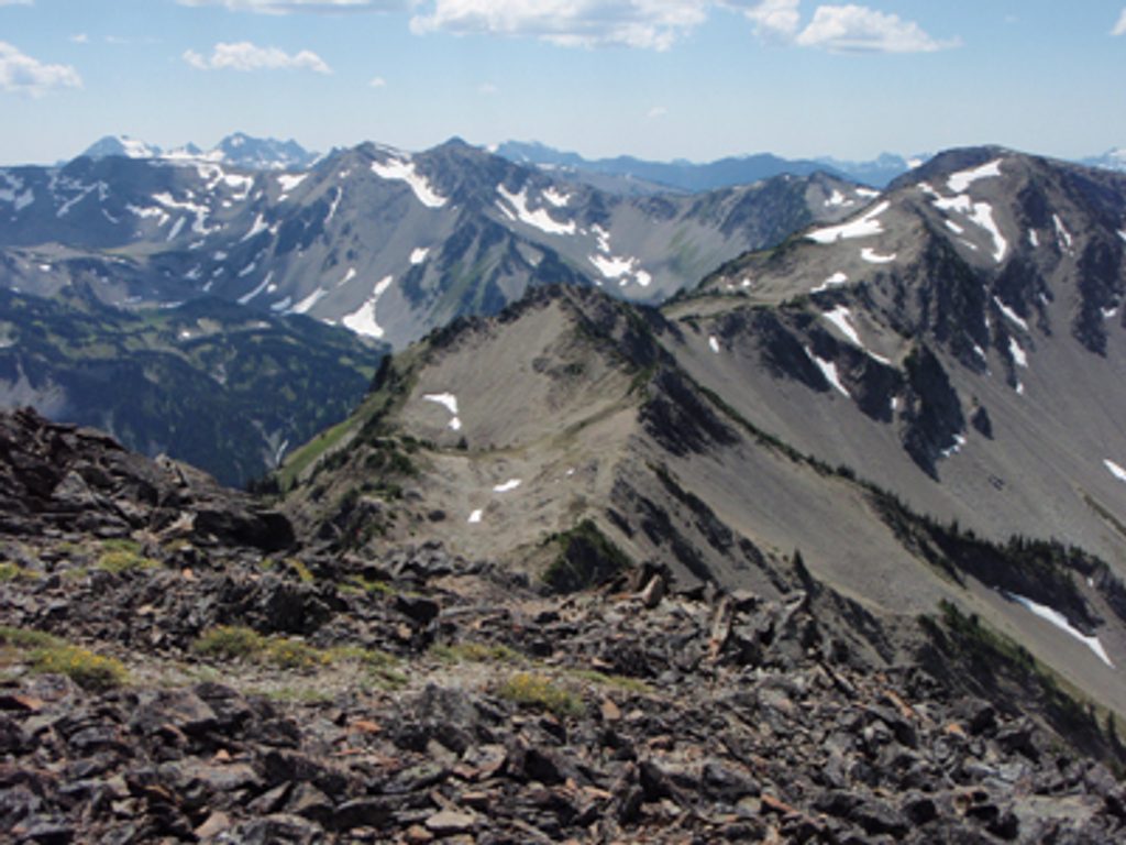
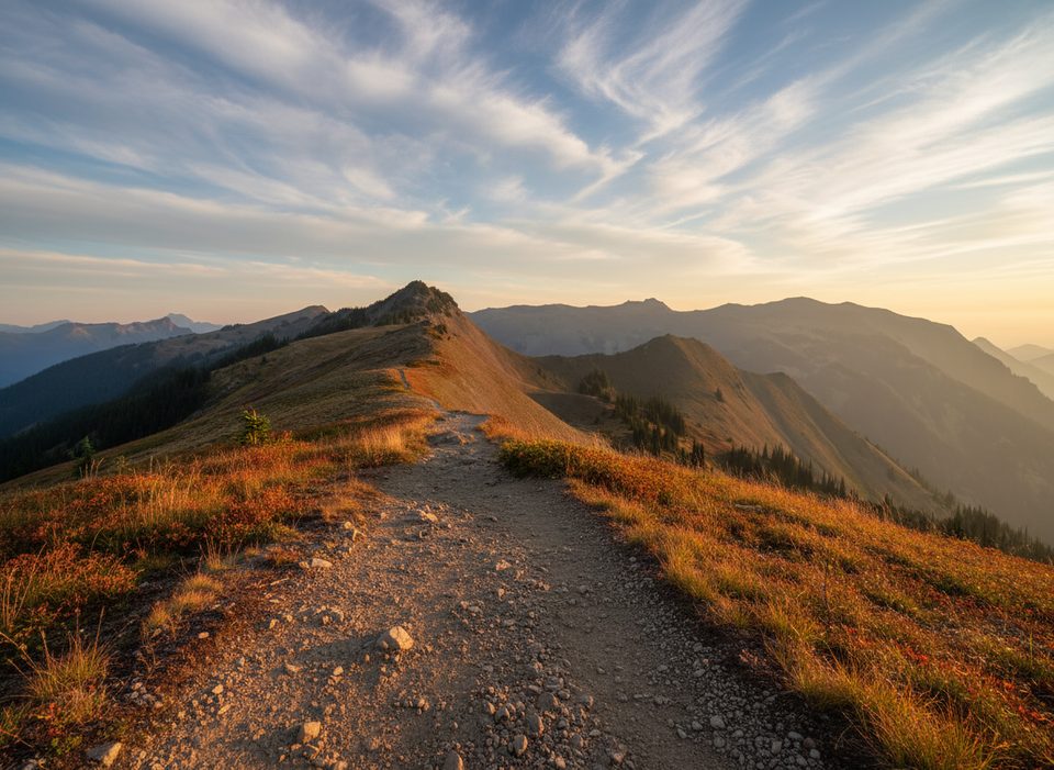
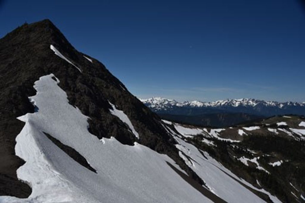
Grand Valley is one of Olympic’s marquee alpine hikes: airy ridgelines, a drop into a glacial U‑shaped valley, and a string of gemlike lakes—Grand, Moose, and Gladys—backed by big mountain panoramas. Expect wildflowers in midsummer, golden hues by late September, and frequent marmot whistles in the tundra‑like high country. It’s gorgeous, but also a real workout.
Start at Obstruction Point Trailhead and traverse Lillian Ridge before descending steeply into Grand Valley. The classic loop is about 10 miles total, with options to extend (up to roughly 13.6 miles) by including Grand Pass or additional connectors, or shorten it as an out‑and‑back to one of the lakes. Elevation gain varies with your choice (about 2,400–4,250 feet). Pushing up to Grand Pass (6,450 ft) rewards you with sweeping, 360‑degree views on clear days.
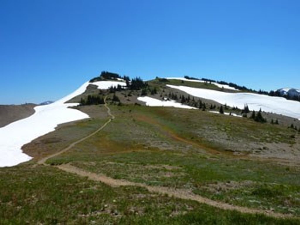
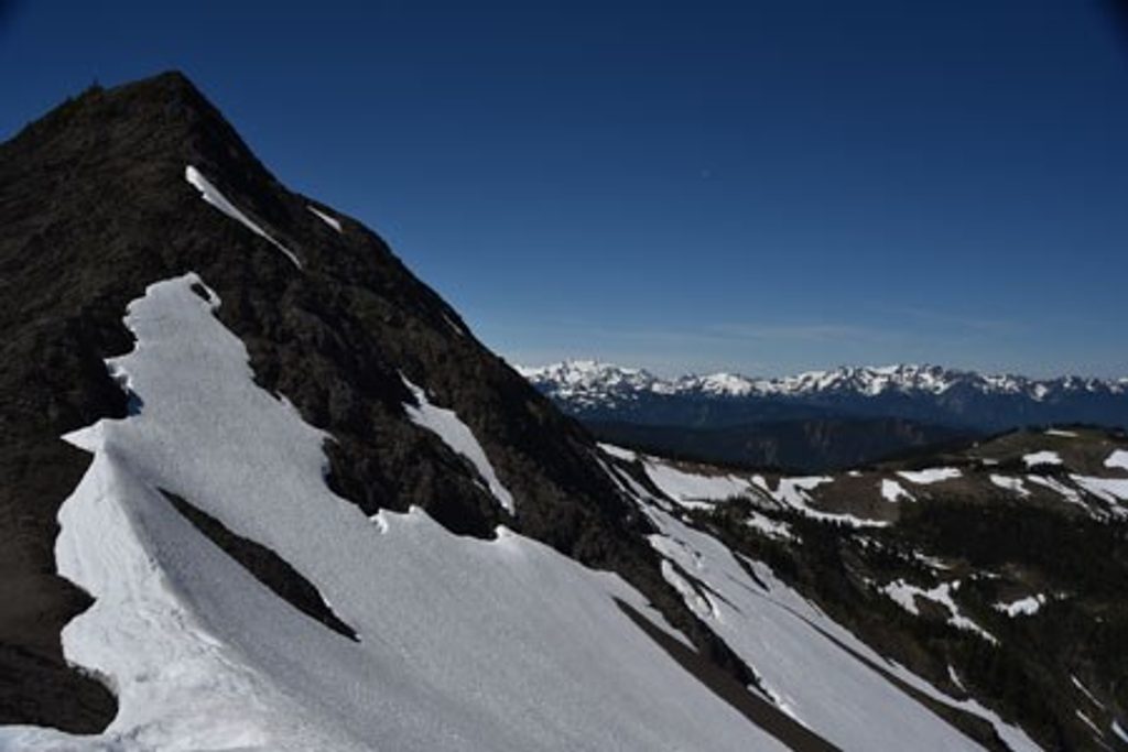
Underfoot, expect singletrack that alternates between rocky, uneven tread and soft alpine meadow. The descent into the valley is steep, and the return climb out is a lung‑burner. Scenery is the star: panoramic ridges, broad meadows, glacial ponds and lakes. Wildlife sightings are common—marmots near the ridge, plus deer and plenty of birdlife.
Best window is July through mid‑October. Snow often lingers early season, especially along the ridge and near Grand Pass. Wildflowers peak in July–August; fall color typically pops in late September. Summer weekends can be busy—go early or midweek for lighter crowds and softer light.
Designated backcountry camps sit at Grand, Moose, and Gladys Lakes. A park entrance pass is required, and overnight stays require backcountry permits; advance reservations are needed May 1–September 30. Water is plentiful from lakes and streams—treat all of it. Expect mosquitoes near the lakes in late summer.
Access is via Obstruction Point Road: about 8 miles of narrow, gravel, mountain driving from Hurricane Ridge. It’s slow, exposed in places, and seasonal—check park conditions before you go. On trail, be ready for steep grades, lingering snow patches early/late, quick‑changing weather (windy and cold on ridges, warmer in the valley), and a few junctions that can confuse—bring a map or GPS. No dogs on this trail. Not wheelchair accessible.
Park at Obstruction Point Trailhead at the end of Obstruction Point Road (8 miles of narrow gravel from Hurricane Ridge). Arrive early; allow extra drive time.
Seasonal, narrow gravel access road with drop-offs; steep, rocky sections; lingering snow along ridges early/late; wind and rapid weather shifts; mosquitoes near lakes in late summer; treat all water; a few junctions can be confusing; no dogs.
Place · 0 mi away
Place · 0.5 mi away
Place · 1.6 mi away
Place · 2.5 mi away
Challenging · 0 mi away
Challenging · 0 mi away
Moderate · 0 mi away
Moderate · 0 mi away

Parkwolf Tour Guide
