
Place · 0 mi away
Challenging
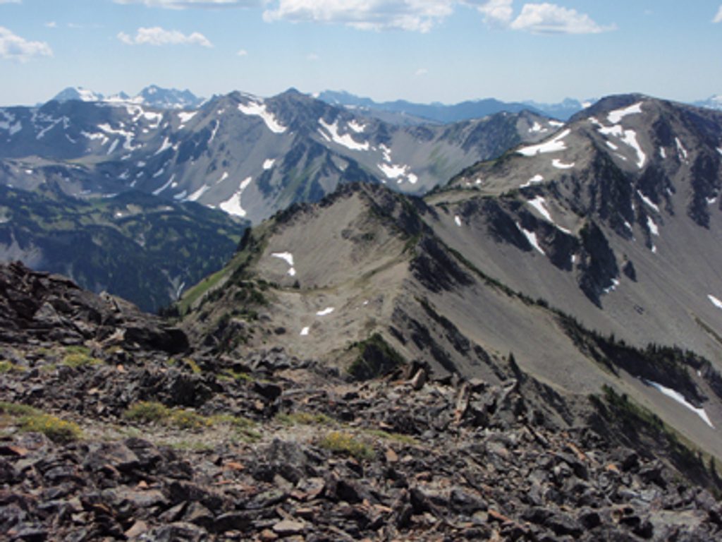
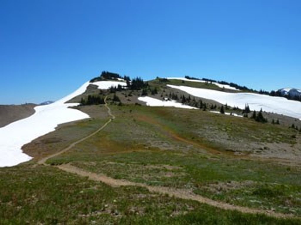
If you want classic Olympic high country without endless forest miles, this is it. From Obstruction Point, you’re on airy Lillian Ridge immediately, with rolling tundra-like terrain and huge mountain panoramas. The route then drops into Grand Valley past a trio of subalpine lakes—Grand, Moose, and Gladys—before the final grind to Grand Pass, where the views go fully cinematic.
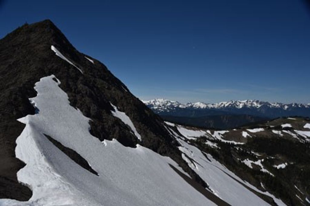
This is a strenuous outing with a twist: you lose a lot of elevation early, then pay it back on the return. Expect rocky, uneven tread along the ridge, a steep descent into the valley, and a rough, thousand-foot climb from Gladys Lake to Grand Pass. Snow can linger near the pass early season. The scenery rarely lets up—wildflower meadows in summer, marmots whistling from talus, and frequent deer and mountain goat sightings. Grand Pass delivers sweeping, 360-degree vistas over glacially carved valleys and jagged ridges.
Plan on about 10 miles total round-trip out-and-back from Obstruction Point to Grand Pass (sources place it in the 9.8–10.8 mile range), with roughly 2,400–2,800 feet of cumulative gain. It’s a full-value day at 6–10 hours for most hikers. Confident and fit? You can turn it into a loop by linking the Grand Pass Trail with Badger Valley for a bigger adventure.
July through October is prime, once snow melts from the ridge and pass. Expect popularity—especially on summer weekends—so start early. Weather changes fast at elevation; pack layers for wind, rain, and a chill even on sunny days. Late summer brings bugs around the lakes; bring repellent or a head net.
Trailhead parking is at Obstruction Point (about 6,100 ft), reached via a seasonal gravel road from the Hurricane Ridge area. Road openings vary—check the Olympic National Park site before you go. Day hikers don’t need a wilderness permit, but the park entrance fee applies. Backpackers must reserve backcountry permits for Grand Valley/Grand Pass zones May 1–September 30; designated lakeside sites only.
Bring sturdy footwear and trekking poles—the trail is steep, rocky, and can be narrow with loose tread in places. Early season snowfields can obscure the path; carry a map/GPS. Treat all water from lakes and streams. If you’re after maximum views for effort, this route earns its “grand” label right from the first steps along Lillian Ridge.
Park at Obstruction Point Trailhead at the end of the seasonal gravel Obstruction Point Road from Hurricane Ridge; check NPS road status before you go.
Steep, rocky, and exposed in places with loose tread; significant re-gain on the return. Early-season snowfields can obscure the route. Bugs common near lakes in late summer. Treat all water.
Place · 0 mi away
Place · 0.5 mi away
Place · 1.6 mi away
Place · 2.5 mi away
Challenging · 0 mi away
Challenging · 0 mi away
Moderate · 0 mi away
Moderate · 0 mi away

Parkwolf Tour Guide
