
Place · 0 mi away
Moderate
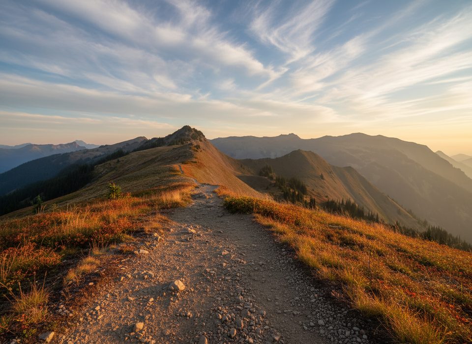
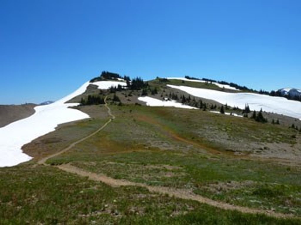
This is the ridge walk people dream about: wide-open horizons, big mountains in every direction, and hardly any climbing. Starting from the end of Obstruction Point Road, the Lillian Ridge Trail cruises above treeline with panoramic views almost the entire way. The standard hike is about 4.0 miles total (out-and-back) with roughly 200 feet of gain, mostly at or above 6,100 feet. It’s a quick hit of true alpine without a brutal approach.
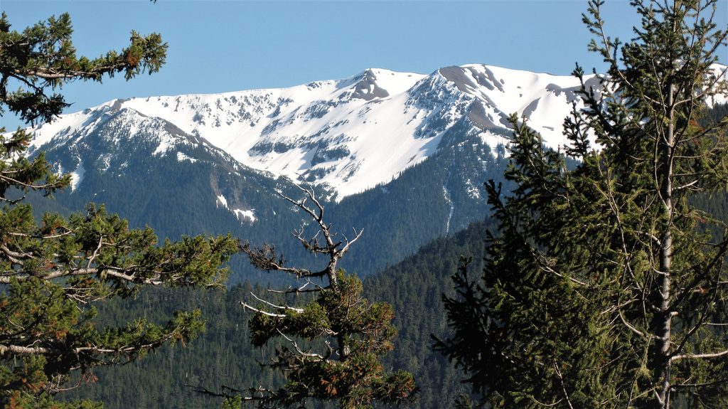
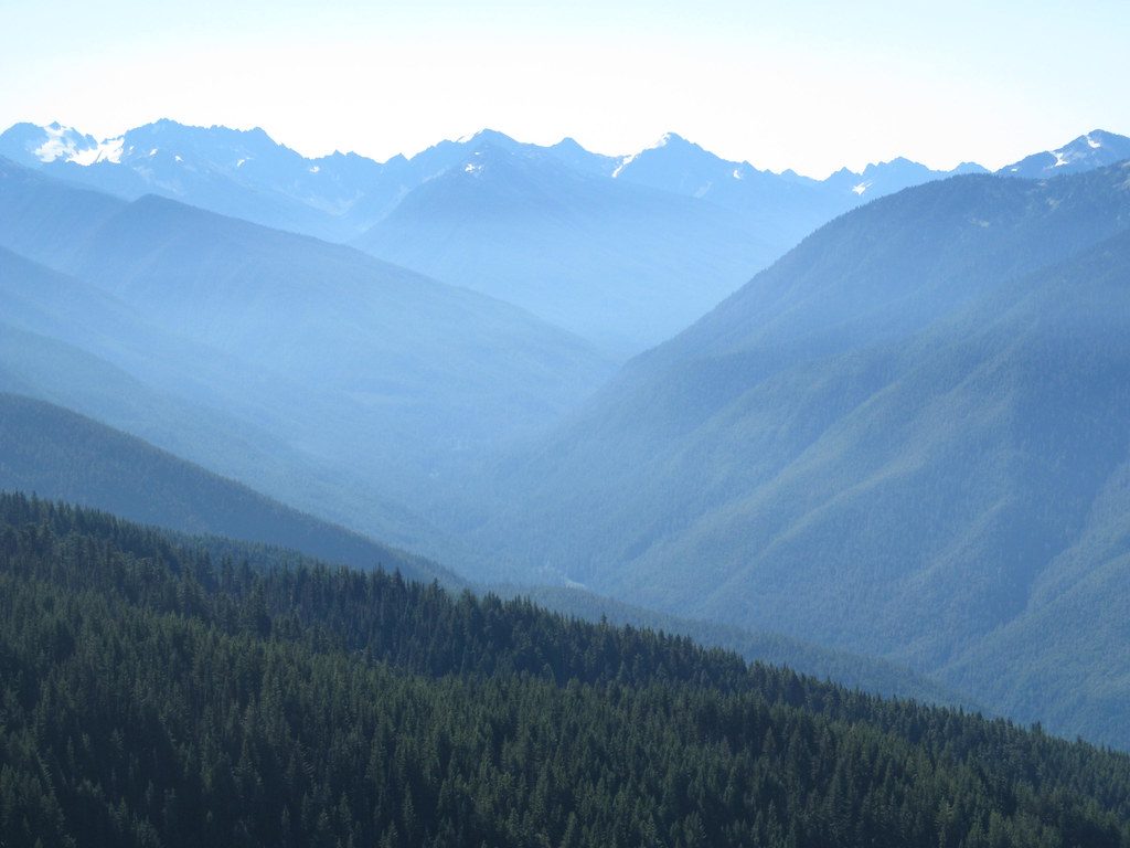
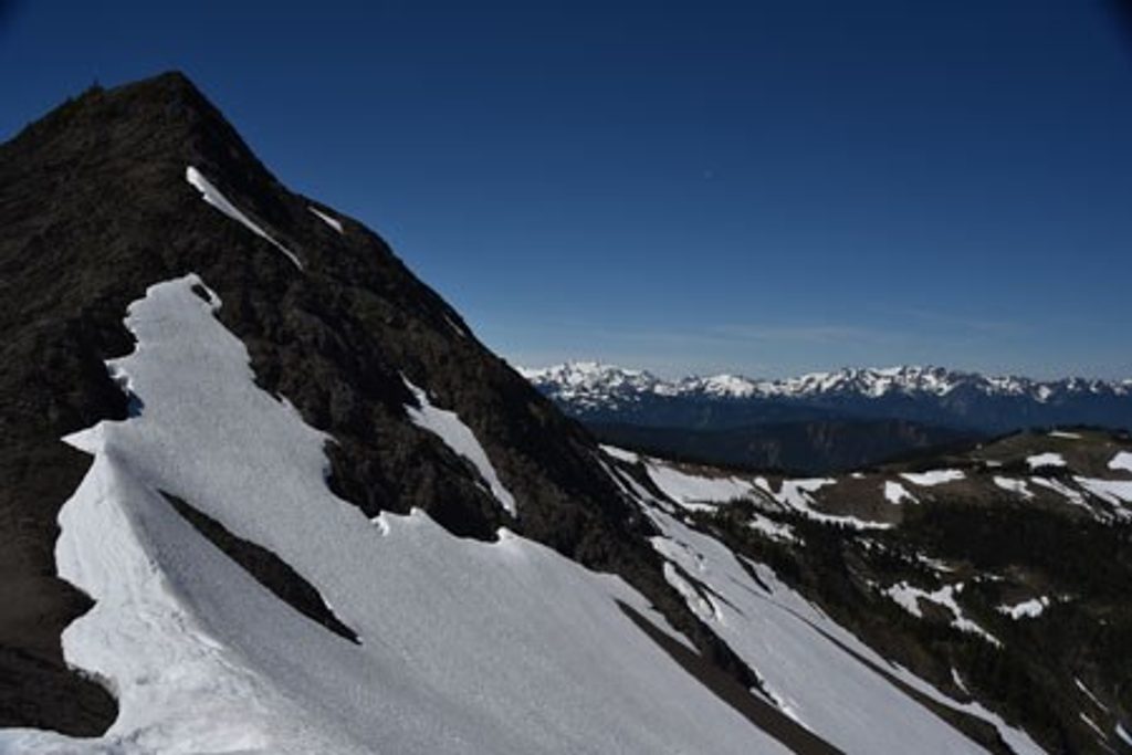
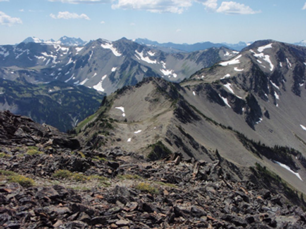
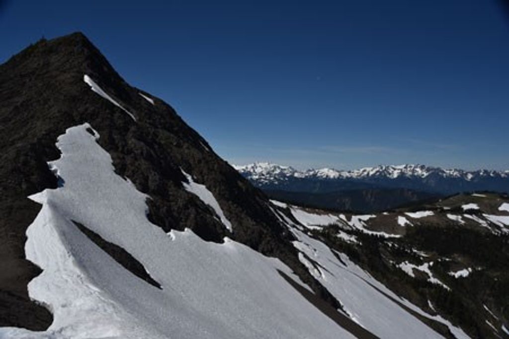
What you’ll see: glacier-clad Mount Olympus to the west, the Hurricane Ridge country all around, and on clear days even Mount Baker. In summer, the meadows pop with wildflowers. Look and listen for marmots on the rocks and soaring ravens, hawks, and eagles overhead. The ridge divides Grand Valley to the east from the deep Lillian River drainage to the west—there’s serious relief here, with dramatic drop-offs you’ll peer into from the safe, established tread.
Trail notes: The path is mostly gravelly with some rocky stretches and a short stair-step descent in places; the loose surface can be slick. It’s well defined along the main ridge, and that easy, obvious segment is even considered family-friendly by some descriptions. If you explore beyond the Grand Valley junction (~6,400 feet), a “way trail” continues along the crest; it becomes unmaintained with bits of rock scrambling, steep scree, and light route-finding—great for experienced hikers, not for beginners.
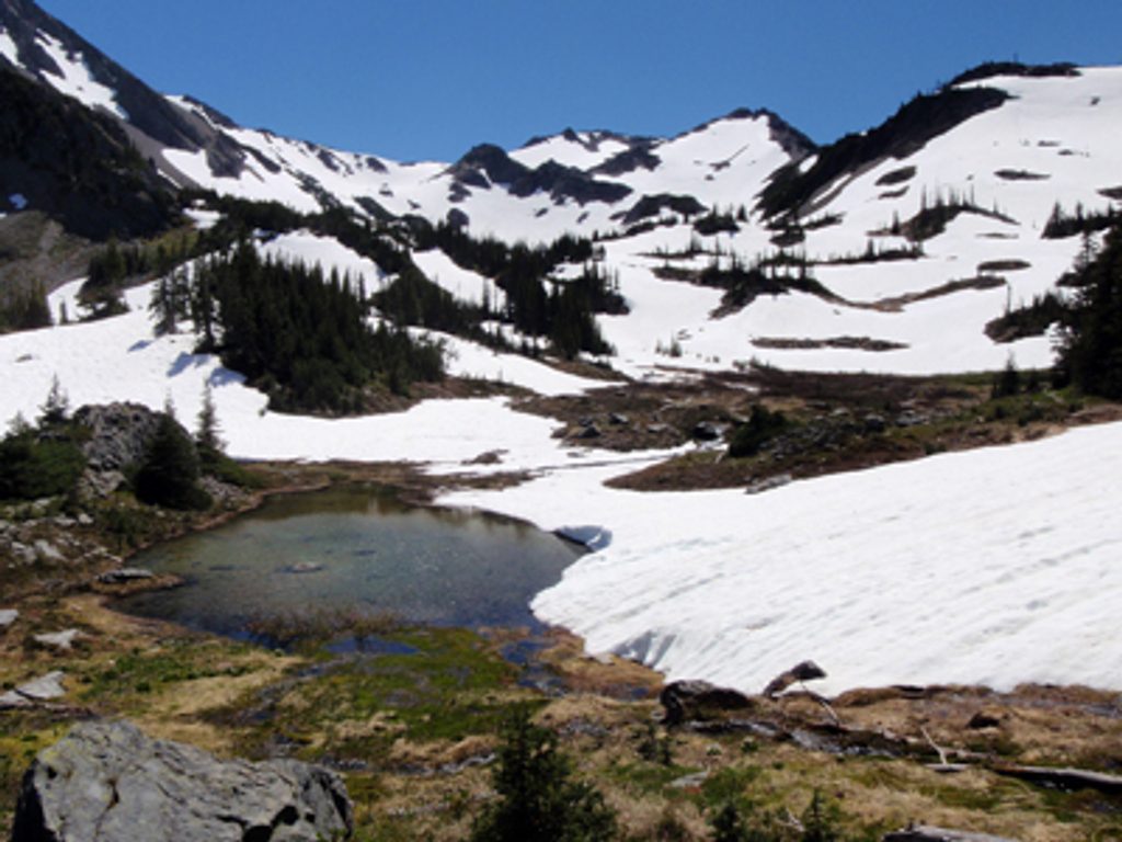
Logistics and tips: There’s no water along the ridge—pack all you need. The alpine tundra here is fragile; stay on the established trail. Wear sturdy footwear, bring sun protection and layers, and start early for the best visibility before afternoon clouds build. Obstruction Point Road is seasonal and often doesn’t open until July; snow patches can linger into early summer.
Best time to hike: July through September, when the road is typically open and the ridge is snow-free. Weekdays and early starts help dodge crowds. Photographers get crisp light early and late, but winds can be stronger—bring a shell.
Want more? Confident hikers can link bigger days by dropping into Grand Valley (permits needed to camp) or building a loop via Badger Valley and Grand Pass. For a tougher alternative ridge hike, Klahhane Ridge is a classic—but this one delivers huge views for far less effort. It’s also generally less crowded than the Hurricane Ridge hotspots, especially once you’re a mile out.
Park at Obstruction Point Trailhead at the end of Obstruction Point Road (seasonal access).
High, exposed terrain with strong sun and wind; no water; fragile alpine vegetation—stay on trail. Early season snow possible. Beyond the Grand Valley junction the ridge becomes an unmaintained way trail with scree, scrambling, and route-finding.
Place · 0 mi away
Place · 0.5 mi away
Place · 1.6 mi away
Place · 2.5 mi away
Challenging · 0 mi away
Challenging · 0 mi away
Challenging · 0 mi away
Moderate · 0 mi away

Parkwolf Tour Guide
