Pros & cons
PROS
- Rare solitude deep in pristine rainforest
- Historic three‑sided backcountry shelter
CONS
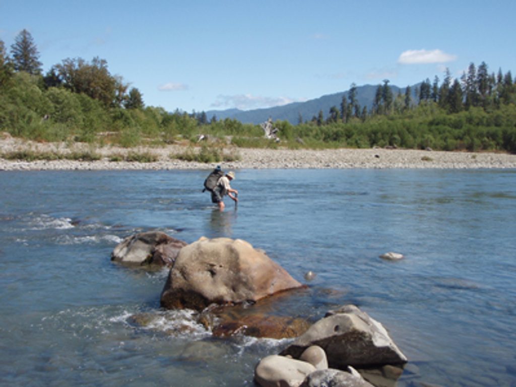
- Requires a risky river ford near the trailhead
- Long, brushy approach (~16 miles) with no amenities
Overview
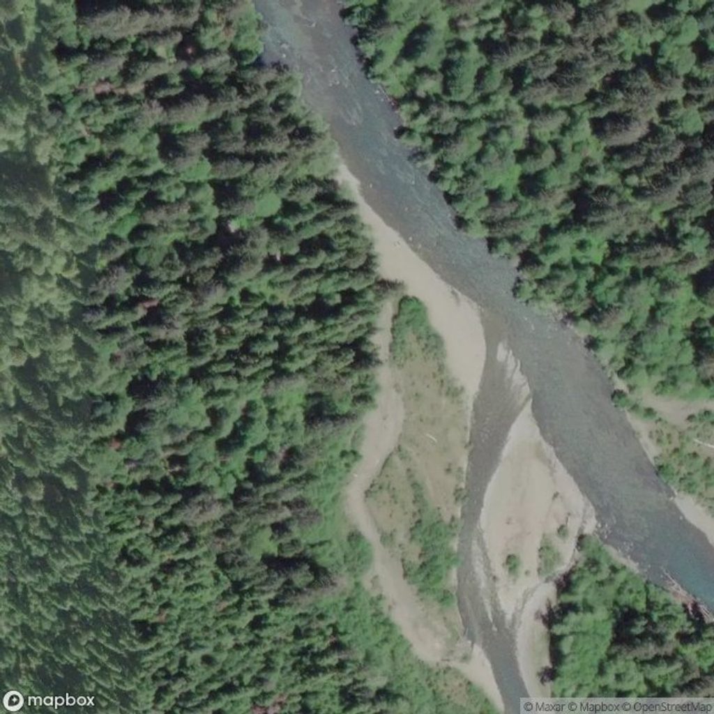
Tucked far up the Queets River Trail, the Queets River Shelter (often referenced with Pelton Creek Shelter) is a rustic, three‑sided backcountry refuge surrounded by old‑growth temperate rainforest. Getting here is an adventure in itself—expect a serious river ford right near the trailhead and a lengthy, lightly traveled trail to reach the shelter, roughly 16 miles in.
Why it’s special
If you’re craving the park’s wild side, this is it. The Queets valley is one of the least‑visited corners of the rainforest, where braided riverbars, dripping moss, and giant conifers set the tone. The shelter is basic—a roof and partial walls—but the setting delivers the kind of quiet you rarely find elsewhere.
What you’ll see on the way
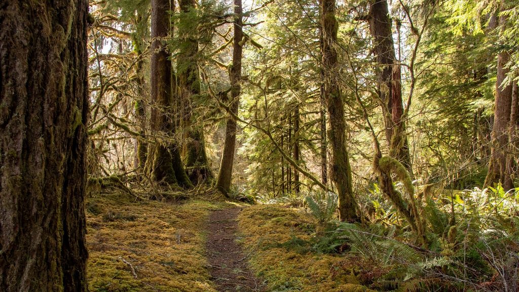
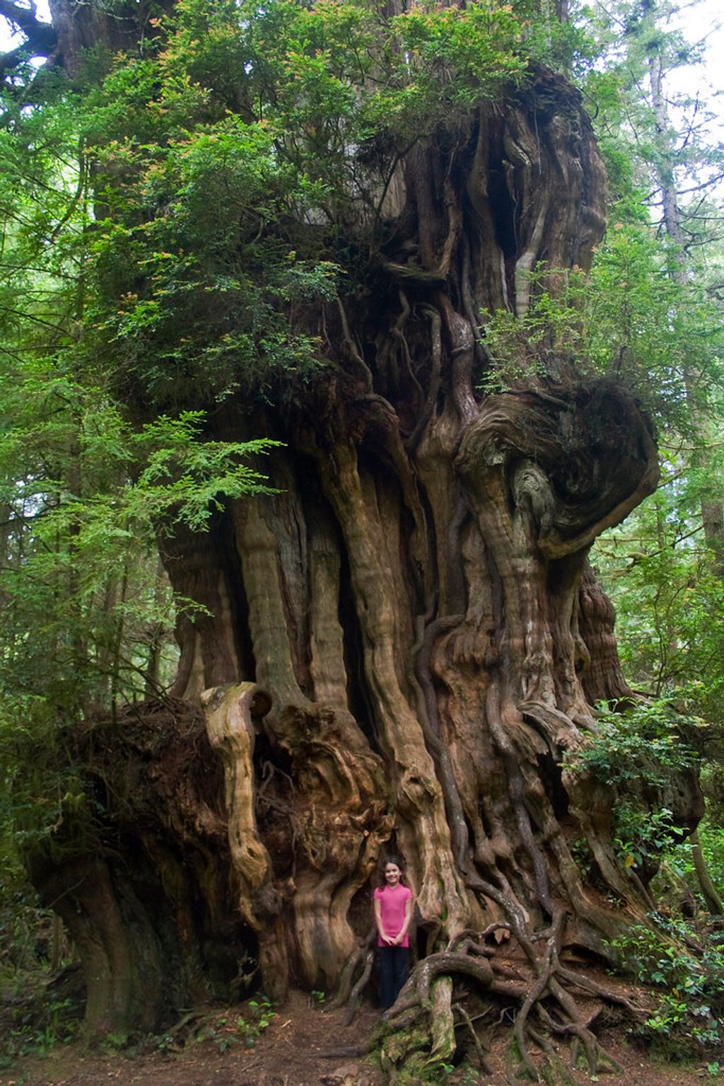
The approach follows a dynamic, glacier‑fed river through lush, moss‑laden forest. You’ll pass towering conifers and classic nurse logs, with mist on cool mornings and gravel bars opening up big‑sky river views.
Wildlife
This corridor is prime habitat for Roosevelt elk and black‑tailed deer, with black bears roaming the valley. Birdlife is rich, and seasonal salmon and steelhead runs pulse through the river system.
Know before you go
- The initial ford of the Queets River near the trailhead can be dangerous or impassable outside late summer. Treat this as a serious objective and turn back if flows or conditions aren’t safe.
- Portions of the trail can be brushy or faint after storms, and travel beyond mid‑valley can feel slow.
- The shelter is strictly primitive—no services, no water, no toilets—just cover from the weather.
Best time to visit
Late summer into early fall (often late July–September) typically offers safer river levels and drier weather. Start early for cooler temps, better wildlife chances, and forgiving light filtering through the forest. Weekdays magnify the solitude.
Where it is
47.6244, -124.0145Tips for Queets River Shelter
- 01Aim for late summer to find safer river levels for the initial ford.
- 02Bring trekking poles and sturdy footwear you can get wet for crossings.
- 03Carry a detailed topo map and know how to navigate brushy stretches.
- 04Pack a bear canister for food and treat all water from the river.
- 05Build extra time into your day; travel can be slower than it looks.
Near Queets River Shelter
All places →All trails →
0 mi awayQueets River TrailRemote rainforest epic with a serious river ford gatekeeperChallenging · 16.2 mi · 48 hr
0 mi awaySams River LoopShort, serene rainforest loop with elk, meadows, and river glimpsesEasy · 3 mi · 1 hr
0 mi awayTshletshy RouteLegendary bushwhack into the wild heart of the Queets rainforestChallenging · 8 mi · 12 hr
11.5 mi awayQuinault Big CedarFallen giant cedar amid lush Quinault rainforest, a humbling stopTrailhead · Pullout
11.5 mi awayJuly Creek Picnic AreaQuiet lakeside picnic spot with Quinault views and a quick loopTrailhead · Restroom
12 mi awayKestner HomesteadPioneer farm and relics on an easy loop through rainforestTrailhead · Parking
12.2 mi awayQuinault Rain Forest Ranger StationSmall ranger stop with easy rainforest loops and handy infoTrailhead · Restroom
12.2 mi awayMaple Glade Rain Forest TrailMoss-draped maple loop with boardwalks beside a quiet creekEasy · 0.5 mi · 30 min