
Place · 0 mi away
Challenging
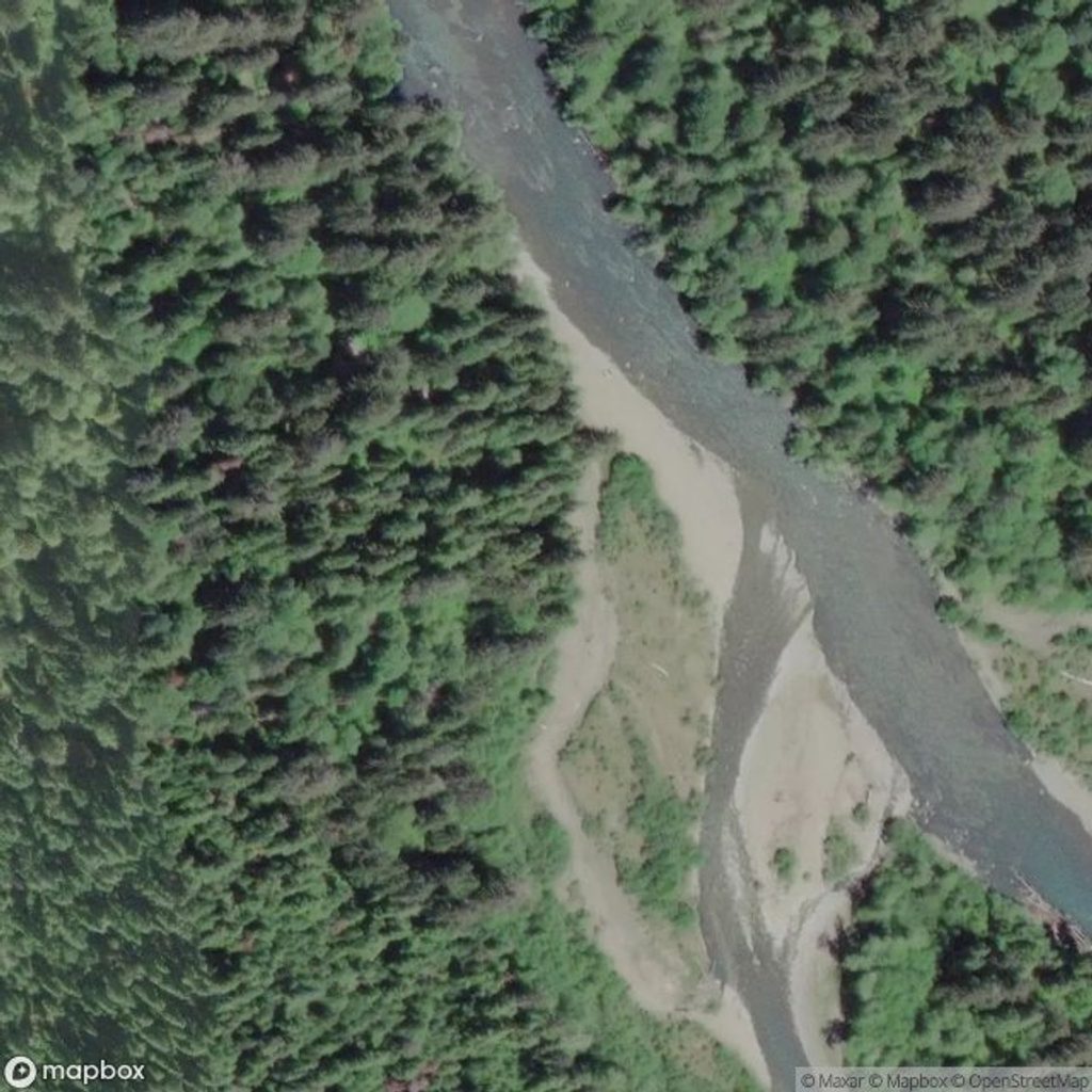
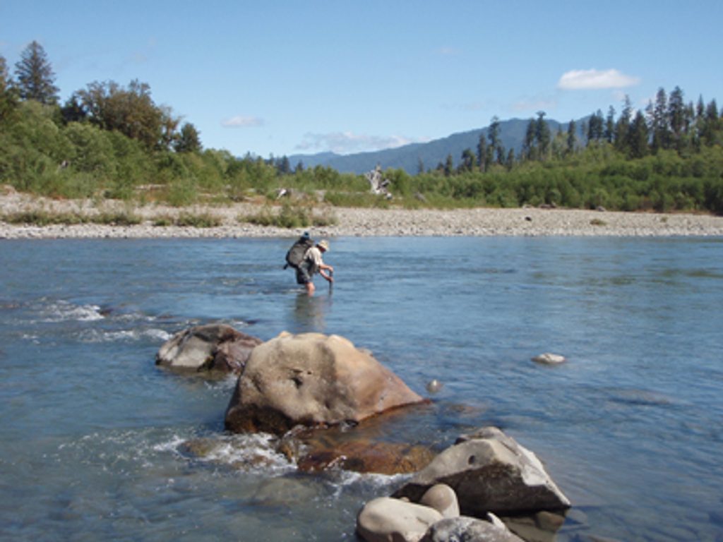
This is not a maintained trail—it’s a true route through some of Olympic’s densest temperate rainforest. From near the Queets Campground, you’ll ford the Queets River and immediately leave anything resembling a normal tread. Expect thick brush, moss-draped blowdowns, and frequent detours as you claw your way toward the Tshletshy Creek drainage. It’s slow, committing travel with real solitude and serious consequences if you’re unprepared.
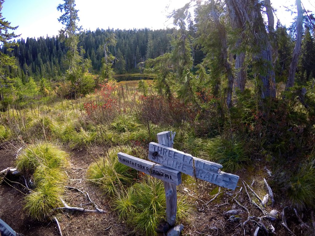
Plan on roughly 8 miles one way (out-and-back totals about 16 miles), with around 4,000 feet of steep gain on slick mud, roots, and unstable slopes. There’s no signage and the path is often lost under windfall and vegetation. Bring excellent navigation skills and the mindset for constant problem-solving.
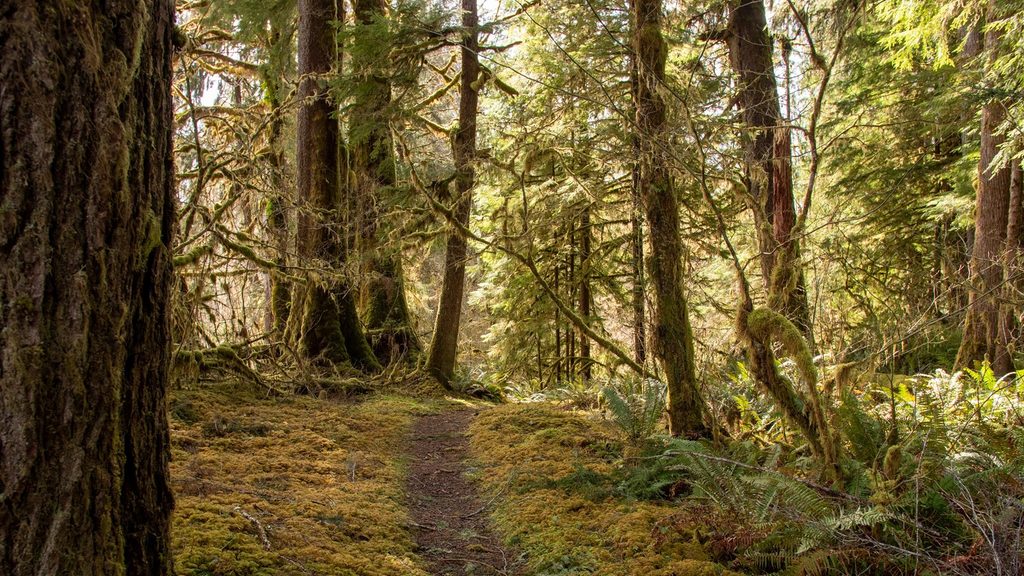
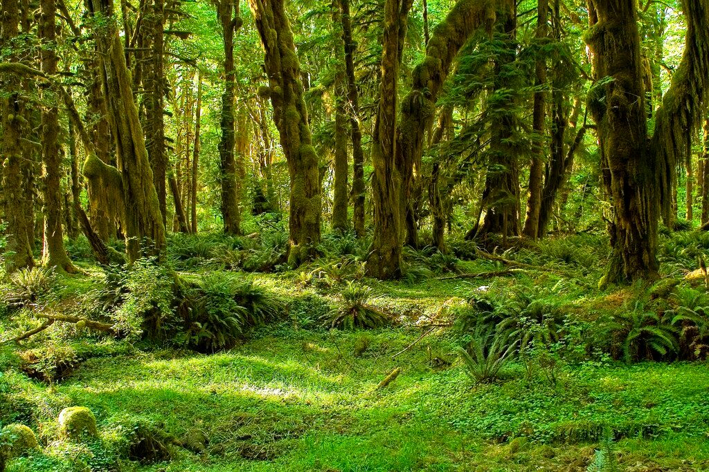
If you’re up for it, the payoff is immersion in old-growth rainforest—towering Sitka spruce, hemlock, and Douglas-fir, with moss, ferns, and the teal ribbon of the Queets below. Higher up, the terrain steepens toward saddles and ridges before dropping into the rugged, canyon-like Tshletshy Creek drainage. Wildlife is very much at home here; Roosevelt elk and black bears are commonly reported in the Queets valley.
This route is extremely challenging and hazardous. The early Queets River ford can be dangerous or impassable in high water—if levels are up or rain is recent, turn back. Past the ford, expect relentless route-finding, massive blowdowns, and brush. Many parties move slowly and choose to camp; day-hiking the full out-and-back is unrealistic for most.
Late spring through early fall offers the best odds: lower river levels and more predictable weather. Even in early summer, lingering snow over a low saddle has been encountered in some years. Aim for a stable forecast and start early. Weekdays offer even more solitude, though this is never a crowded place.
Park at the Queets Campground area near the Queets River Trail/Sams River Loop trailhead.
Unmaintained route with a hazardous Queets River ford, extreme bushwhacking, steep unstable slopes, and no signage; attempt only with expert navigation skills and in safe river conditions.
Place · 0 mi away
Place · 11.5 mi away
Place · 11.5 mi away
Place · 12 mi away
Challenging · 0 mi away
Easy · 0 mi away
Easy · 12.2 mi away
Easy · 12.2 mi away

Parkwolf Tour Guide
