Parking
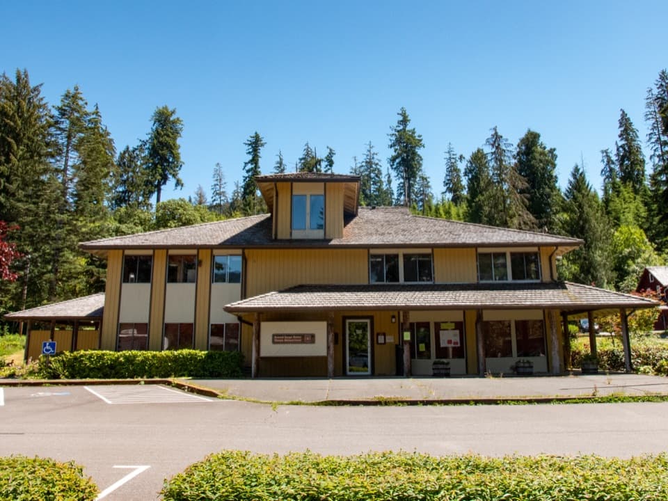
Use the Quinault Rain Forest Ranger Station parking area. The trail starts from the west end of the lot, across the ramp and bridge.
Olympic National Park, WA
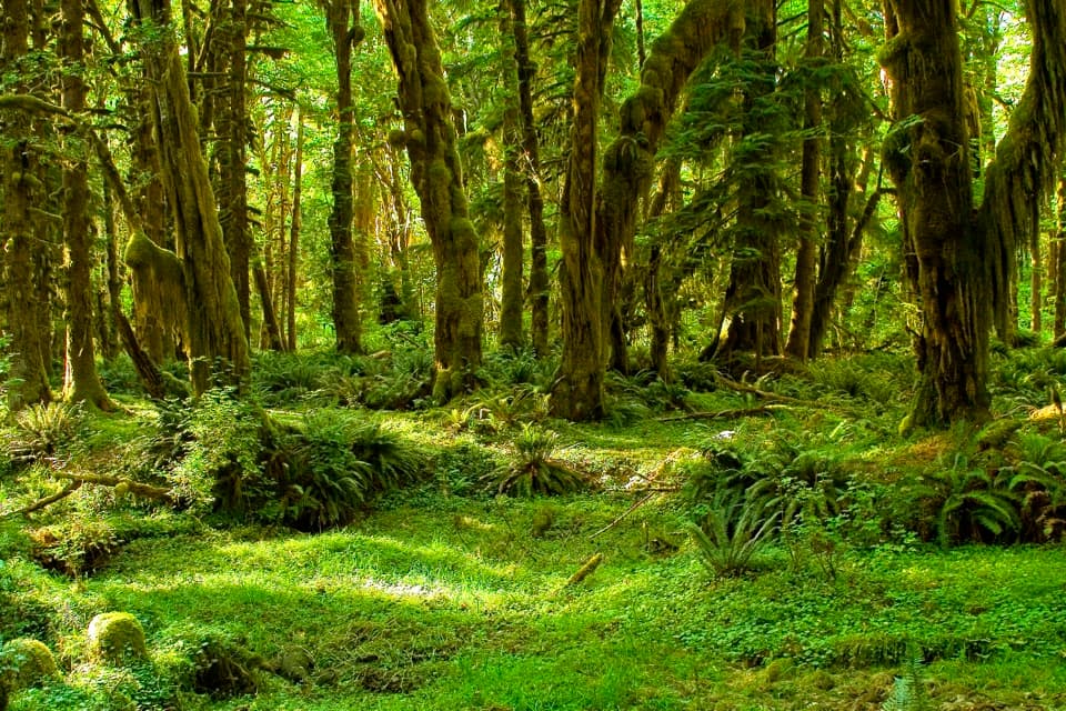
Moss-draped maples and nurse logs in a gentle half-mile loop.
Overview
Map & elevation
Plan your hike

The highest, rockiest slopes around here are a summer buffet for grizzly bears.
Olympic Tour Guide
Parkwolf is a GPS audio tour guide for Olympic National Park. As you drive, it chimes in with what’s ahead: hidden gems, upcoming stops, history, geology, and wildlife, right through your car’s speakers.
See the Olympic audio tourRecorded for this trailhead
Quinault Ranger Station and Kestner Homestead“You're approaching Quinault Rain Forest Ranger Station, the starting point for a walk to Kestner Homestead. Choose this stop if you'd enjoy seeing how a farm fitted into the rainforest.”
Plays as you drive up to this trailhead in the Parkwolf Olympic Tour Guide.
More stories near here in the app
“Fantastic app with many points of information… It’s great to just turn on while you’re driving and it gives you an audio tour of the national Park. We love it!!!!”


Trail guide
Maple Glade is a gentle 0.49-mile loop through mossy bigleaf maples and stream channels near Quinault Rain Forest Ranger Station. Allow about 30 minutes. It's a good pick for a short forest walk; Kestner Homestead is the longer continuation, not part of this loop.
Start at the west end of the ranger-station parking area, take the ramp and bridge, then turn right at the first junction for Maple Glade's 13 marked stops. At the later Kestner Homestead junction, bear left to complete this loop. When you return to the first junction, go right to the parking area. The trail brochures are set out at the bottom of the ramp.
Mosses and clubmosses drape the bigleaf maple branches, while the broad leaves filter the light overhead. The route crosses stream channels on short wooden bridges, with numbered stops explaining what is growing along the way.
One of the final stops features a western hemlock growing from a rotted stump. Its trunk begins about 20 feet above the ground, where the tree first rooted; other roots run down the stump toward the soil. Fallen trees become nursery sites for another generation of conifers. This stump makes the trail's signature photo: frame it from below so the trunk appears to begin overhead.
Wildlife
 710 sightingsOlympic MarmotMost seen around 11 AMSighting map
 30 sightingsHumpback WhaleMost seen around 6 PMSighting map
 42 sightingsGrey WhaleMost seen around noonSighting map
 23 sightingsMountain LionMost seen around 8 PMSighting map
 71 sightingsMountain GoatMost seen around 7 AMSighting map
 306 sightingsBald EagleMost seen around 11 AMSighting map
Sighting maps show where each species has been reported across Olympic. Wildlife moves, so no sighting is guaranteed.
Keep exploring
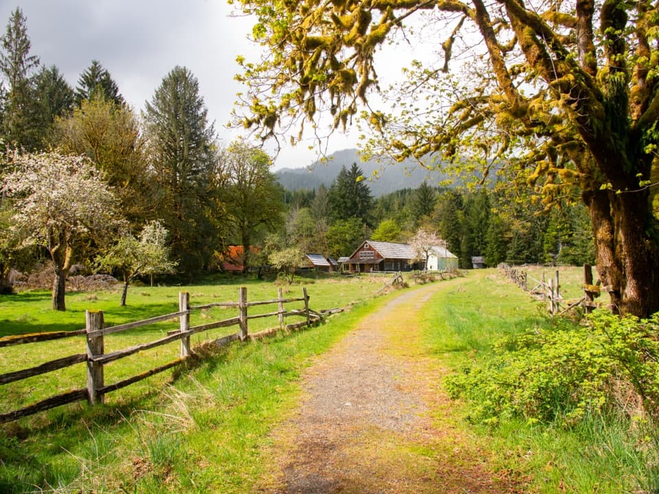 EasyKestner Homestead Trail1.3 mi · 45 min · At the trailheadAn easy forest loop to an old homestead and orchard.
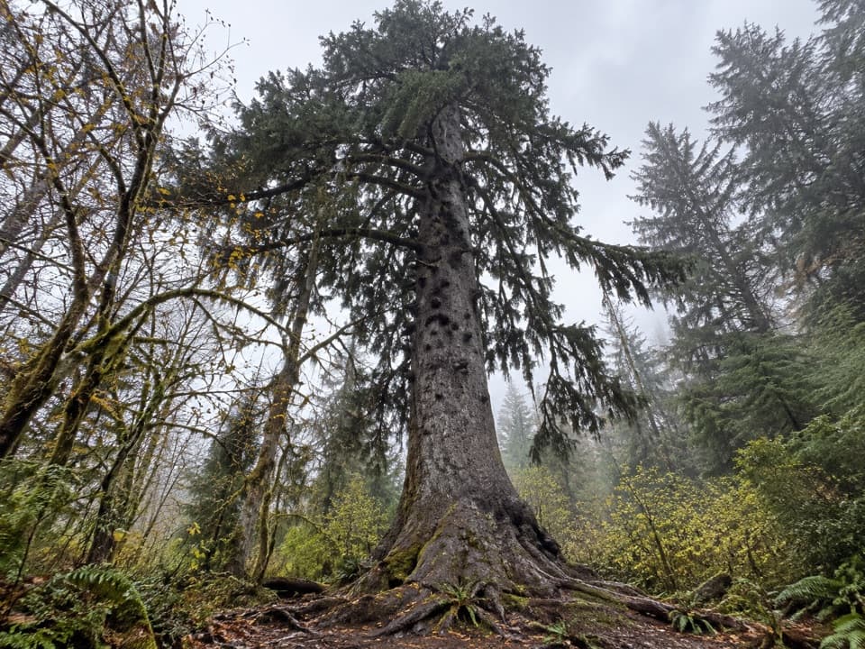 EasyQuinault Big Sitka Spruce Tree Trail0.4 mi · 30 min · 2.1 mi awayA short forest path leads to a towering Sitka spruce.
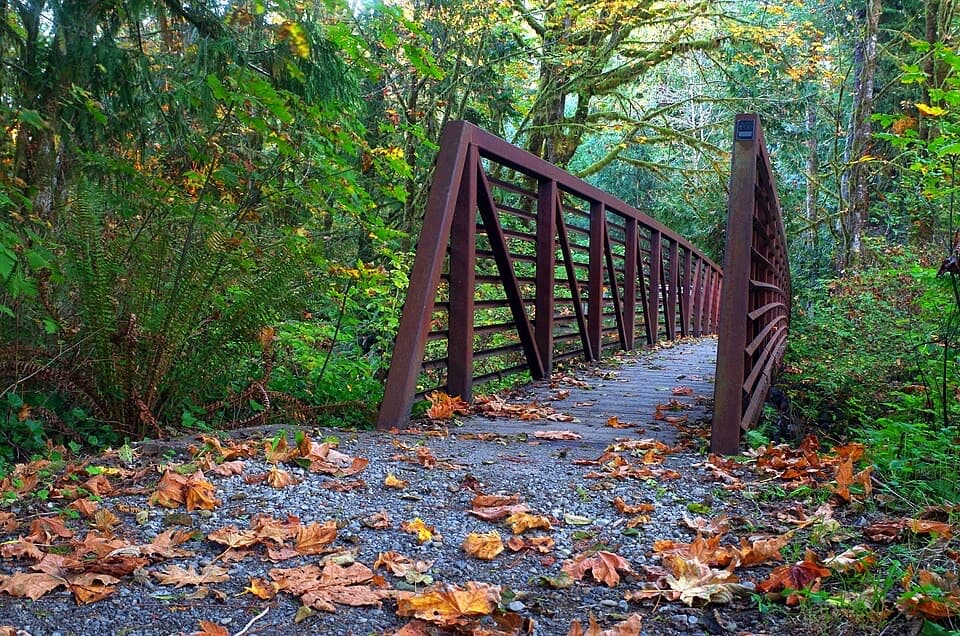 EasyQuinault Loop Trail #8544 mi · 2.5 hr · 2.8 mi awayA boardwalked bog, cascading falls, and Lake Quinault in one loop.
 EasyIrely Lake Trail2.2 mi · 1.8 hr · 8.9 mi awayA mossy rainforest walk to a small lake with Mount Hoquiam views.
 ChallengingThree Lakes Trail via Big Creek13.8 mi · 9 hr · 8.9 mi awayA long forest climb to a mossy subalpine lake basin
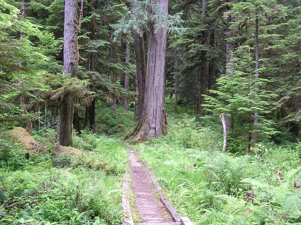 ChallengingNorth Fork Quinault River Trail33 mi · 1 day · 9.5 mi awayOld-growth river forest, rugged fords, and meadows at Low Divide
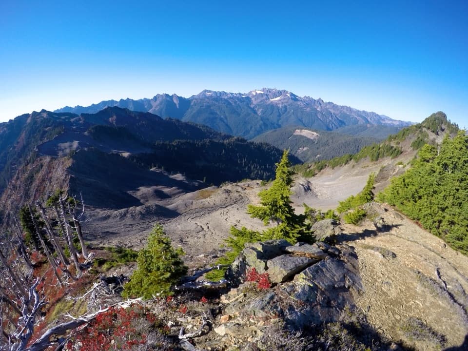 ChallengingSkyline Ridge Primitive Trail20.1 mi · 20 hr · 10 mi awayA rugged ridge traverse past Kimta Peak through remote high country.
 EasyCascading Terraces Trail0.5 mi · 30 min · 12.2 mi awayA short rainforest walk to a Quinault River meadow.
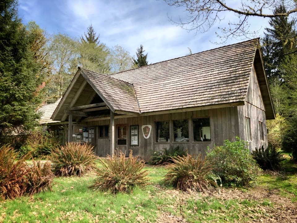 Ranger station · At the trailheadQuinault Rain Forest Ranger StationA useful base for two short rainforest walks by Lake Quinault.
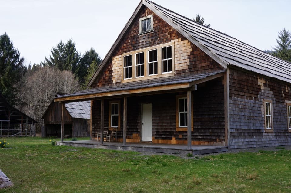 Sight · 0.4 mi awayKestner HomesteadA rainforest homestead with an orchard, old barn and flood stories.
 Sight · 1.8 mi awayMerriman FallsA quick, mossy waterfall stop on the Quinault loop.
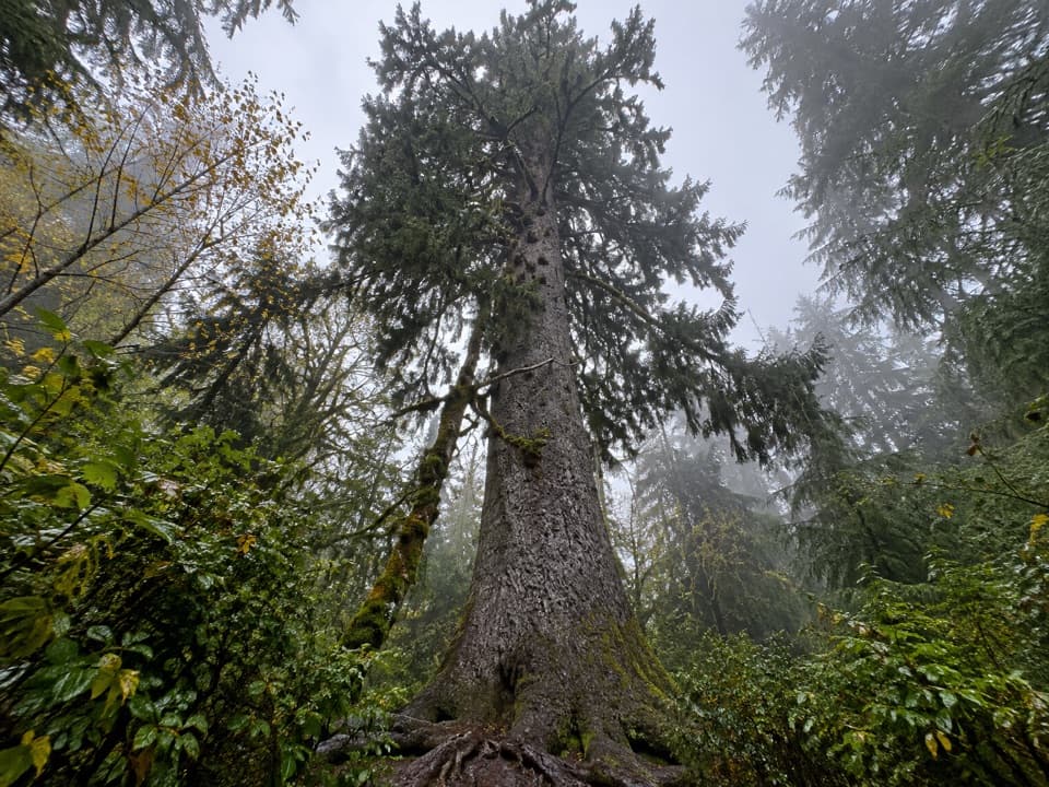 Sight · 1.9 mi awayQuinault Big Sitka Spruce TreeA short walk to a 191-foot spruce with a 59-foot girth.
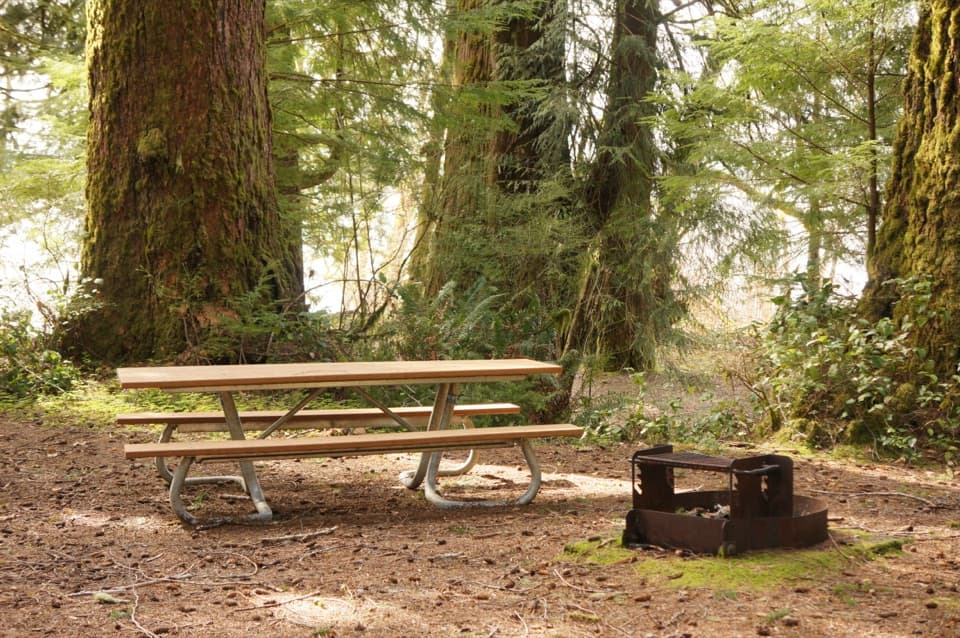 Picnic area · 2.1 mi awayJuly Creek Picnic AreaA short loop to huge Douglas-firs and Lake Quinault views.
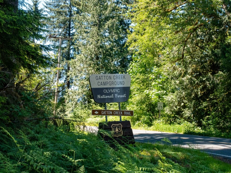 Campground · 2.3 mi awayGatton Creek CampgroundFive walk-in tent sites beside Lake Quinault.
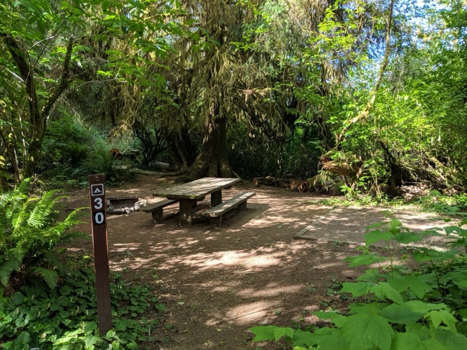 Campground · 2.7 mi awayFalls Creek CampgroundRainforest campsites with lakeshore access and a CCC-built shelter.
 Ranger station · 2.8 mi awaySouth Shore Quinault Ranger StationA useful stop for maps, trail advice, and wilderness permits.
Parkwolf’s Olympic ranking

The audio tour guide for the drive, plus offline maps, trails, and wildlife heatmaps for when the signal drops.





