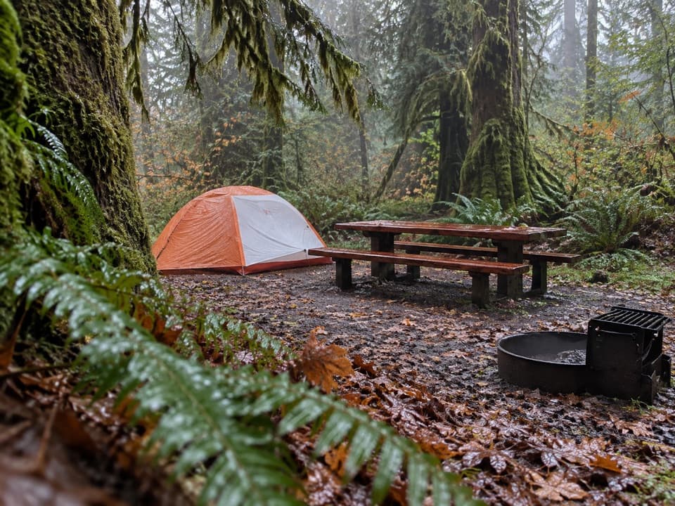
Parking
Queets River Trailhead at the end of Upper Queets Road. Access includes more than 11 miles of winding forest roads; large RVs and trailers are not suitable. Parking is limited to about six vehicles.
Olympic National Park, WA
A remote rainforest traverse that starts with a risky river ford.
Overview
Map & elevation
Plan your hike

The highest, rockiest slopes around here are a summer buffet for grizzly bears.
Olympic Tour Guide
Parkwolf is a GPS audio tour guide for Olympic National Park. As you drive, it chimes in with what’s ahead: hidden gems, upcoming stops, history, geology, and wildlife, right through your car’s speakers.
See the Olympic audio tourRecorded for this trailhead
Queets Campground: Beside the Salmon River“You're nearing Queets Campground and the river trailhead, a remote base among the rainforest trees. Choose the campground for a simple stay beside the river: there are pit toilets, but no drinking water or hookups.”
Plays as you drive up to this trailhead in the Parkwolf Olympic Tour Guide.
More stories near here in the app
“Fantastic app with many points of information… It’s great to just turn on while you’re driving and it gives you an audio tour of the national Park. We love it!!!!”


Trail guide
Queets River Trail is a remote, low-elevation out-and-back through the Queets rain-forest valley, from the end of Upper Queets Road to Pelton Creek. The full park route is listed at 16.2 miles one way, so the complete return is about 32.4 miles; allow roughly 24 hours on foot over two or three days. The valley is mostly flat, but low-maintenance tread, a mandatory ford, and difficult route-finding in the upper stretch make this a serious wilderness trip, not a day hike. Bob Creek, about 11 miles from the trailhead, is a shorter turnaround for an already long 22-mile outing.
From the trailhead, follow the short Sam's River path down to the gravel bars and ford the Queets to its north bank. The crossing can be swift, waist deep or deeper, and impossible after rain or snowmelt. Flow below 800 cubic feet per second at the Highway 101 gauge makes a ford more likely, but it can still be dangerous at that level. The river is generally not fordable in late fall, winter or spring, and rain can make a safe outward crossing unsafe before you return. Check the gauge and forecast; do not enter fast, rising water.
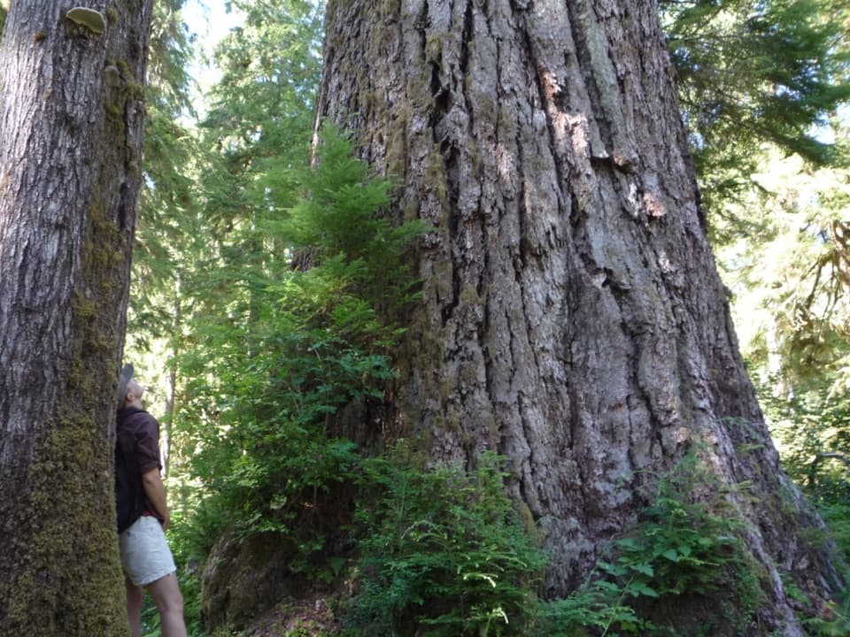
The narrow trail follows the river beneath moss-draped bigleaf maples, Sitka spruce and sword ferns. Around 1.8 miles in, Andrews Field opens at an old homestead site; pasture remnants and scattered fruit trees mark the families who once tried to settle this wet valley. Near 2.4 miles, just before Coal Creek, a faint left-hand spur leads 0.2 mile to a giant Douglas-fir about 14 feet across. Parts of the tree have died, and fallen trees can hide the spur. It is a worthwhile shorter turnaround if you want the landmark without committing to the upper valley. For a scale photo, include a person beside the trunk.
Spruce Bottom is about 5 miles in, and Bob Creek is about 11 miles in. The full route continues to Pelton Creek, but the tread beyond Bob Creek crosses the 2015 Paradise Fire area and is difficult to follow. Use map-and-compass skills there; standing dead trees make camping past Bob Creek unwise. Turn at Bob Creek if you want to avoid the hardest route-finding, while remembering that the return is still about 22 miles.
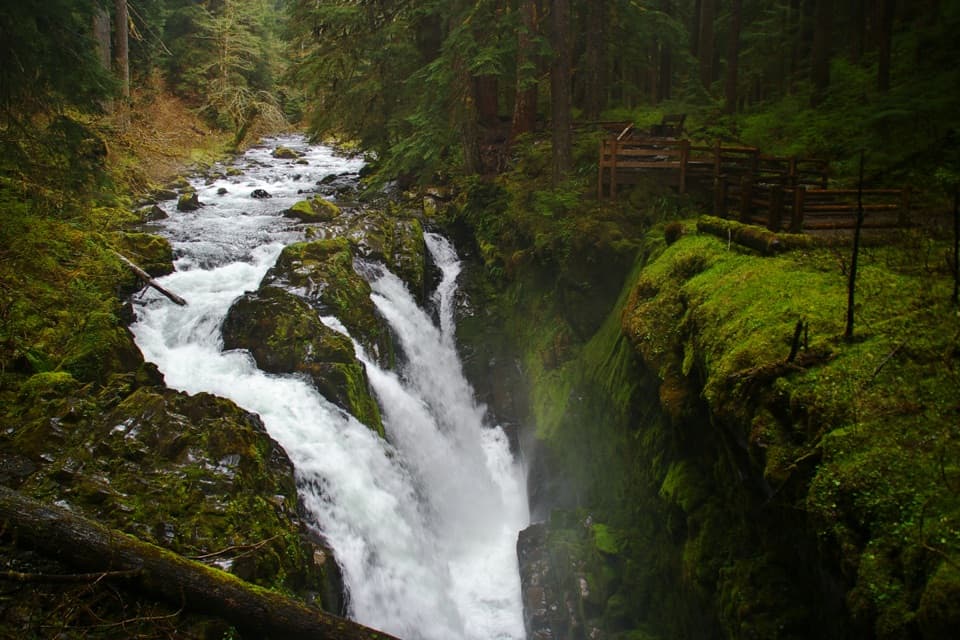
This is a glacially carved rain-forest valley, with salmon side channels beneath old-growth trees. Five Pacific salmon species, including steelhead, spawn in the Queets. Their returns feed wildlife and streamside forest, and area tribes continue to honor them. Elk may browse beneath the maples. The old fields and fruit trees are reminders that this remote valley once held homesteads.
The trailhead is at the end of Upper Queets Road, reached by more than 11 miles of winding forest-road access; large RVs and trailers are not suitable. Parking is limited to about six vehicles. Queets Campground is nearby but separate from the trail, with pit toilets and no potable water. There are no toilets on the route; treat water from the river and tributaries. Overnight backpackers need a wilderness permit and bear canister. Pets are prohibited on park trails, and July through September is the best season for the crossing.
Wildlife
 710 sightingsOlympic MarmotMost seen around 11 AMSighting map
 30 sightingsHumpback WhaleMost seen around 6 PMSighting map
 42 sightingsGrey WhaleMost seen around noonSighting map
 23 sightingsMountain LionMost seen around 8 PMSighting map
 71 sightingsMountain GoatMost seen around 7 AMSighting map
 306 sightingsBald EagleMost seen around 11 AMSighting map
Sighting maps show where each species has been reported across Olympic. Wildlife moves, so no sighting is guaranteed.
Keep exploring
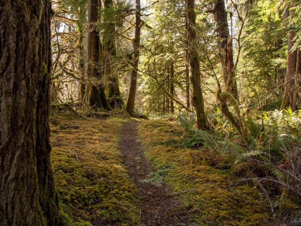 EasySam's River Loop Trail2.8 mi · 1.8 hr · 1 mi awayA flat rainforest loop with a river view and a homestead meadow.
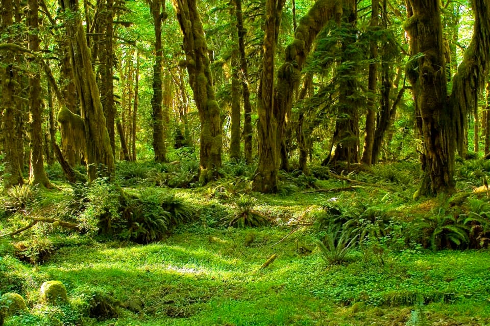 EasyMaple Glade Rain Forest Trail0.5 mi · 30 min · 12.3 mi awayMoss-draped maples and nurse logs in a gentle half-mile loop.
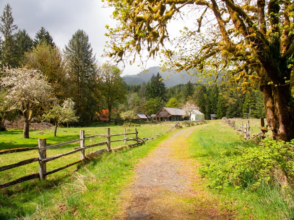 EasyKestner Homestead Trail1.3 mi · 45 min · 12.3 mi awayAn easy forest loop to an old homestead and orchard.
 EasySouth Fork Hoh River Trail9.2 mi · 4.5 hr · 12.4 mi awayA long rainforest walk to the South Fork’s riverside end
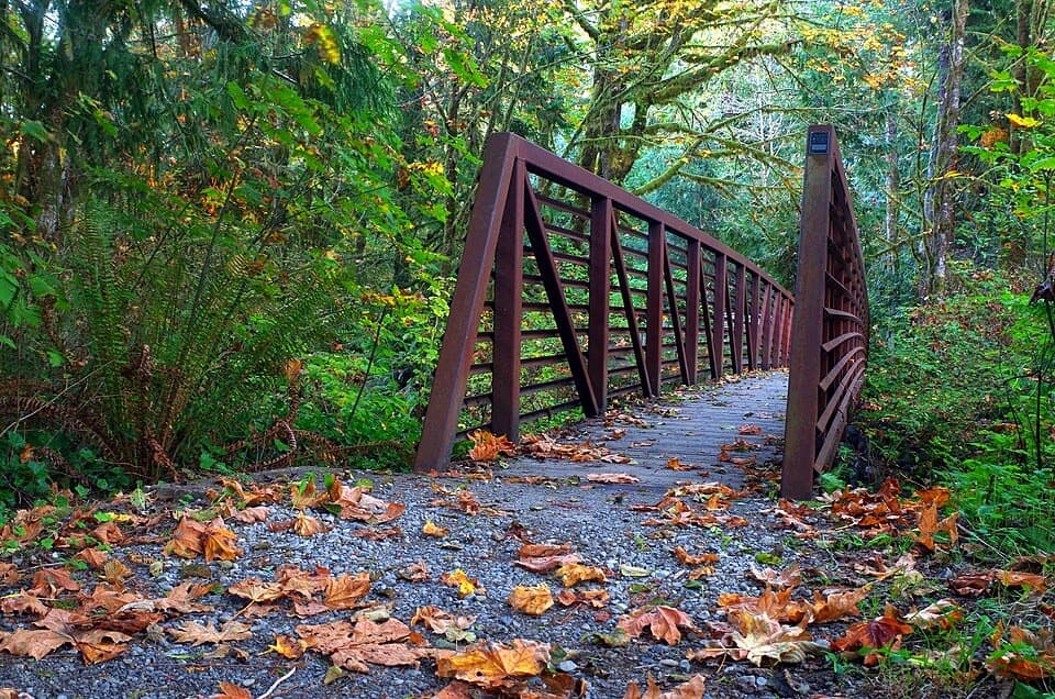 EasyQuinault Loop Trail #8544 mi · 2.5 hr · 13.4 mi awayA boardwalked bog, cascading falls, and Lake Quinault in one loop.
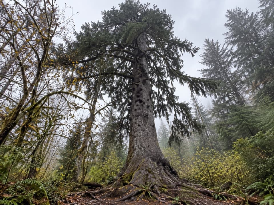 EasyQuinault Big Sitka Spruce Tree Trail0.4 mi · 30 min · 13.4 mi awayA short forest path leads to a towering Sitka spruce.
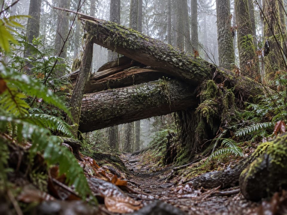 ChallengingSouth Snider-Jackson Trail10 mi · 8 hr · 13.5 mi awayA remote ridge crossing with a hazardous Bogachiel ford.
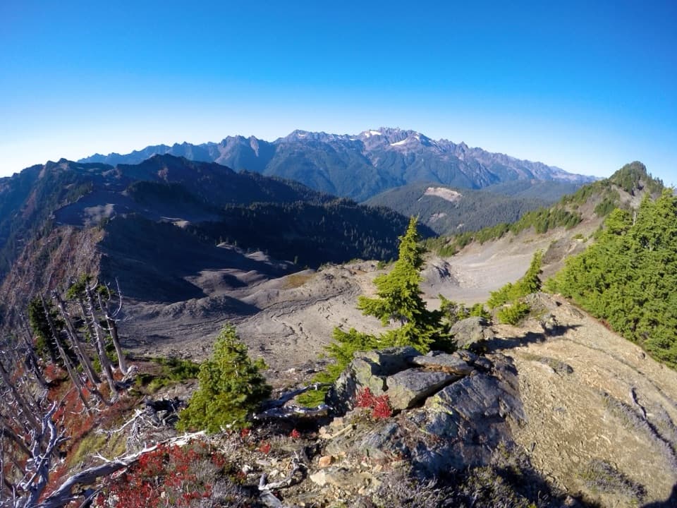 ChallengingSkyline Ridge Primitive Trail20.1 mi · 20 hr · 14 mi awayA rugged ridge traverse past Kimta Peak through remote high country.
Parkwolf’s Olympic ranking

The audio tour guide for the drive, plus offline maps, trails, and wildlife heatmaps for when the signal drops.