
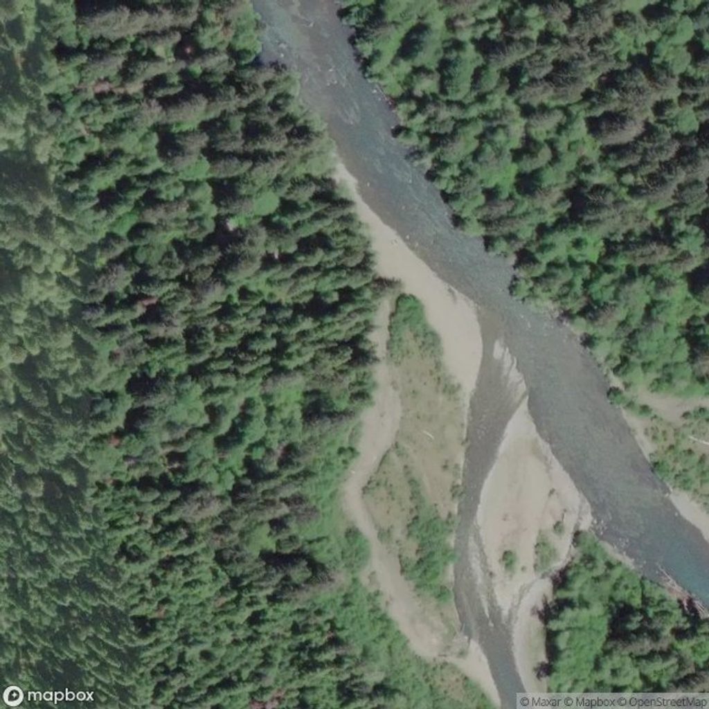
Place · 0 mi away
Easy
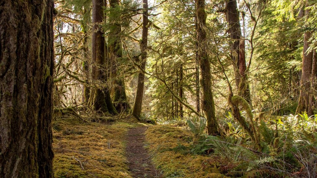
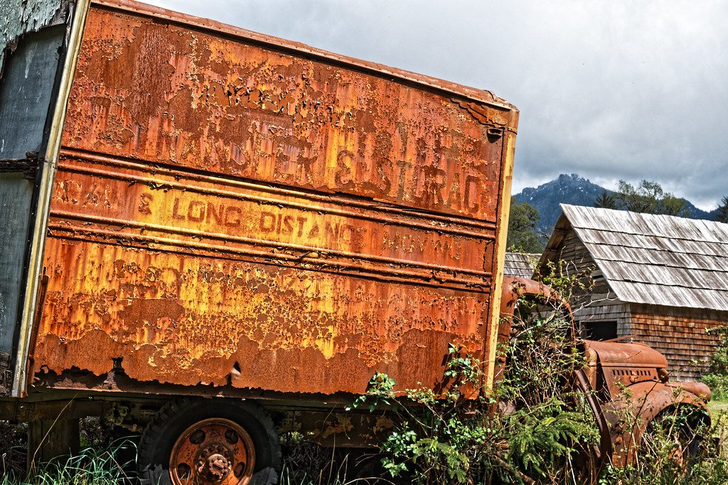
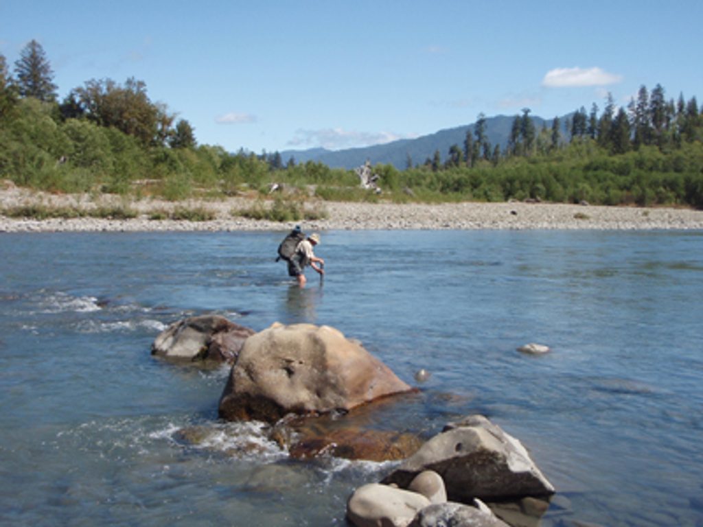
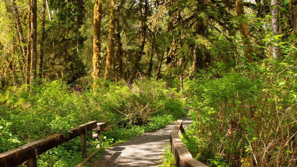
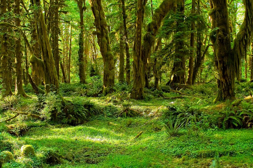
A mellow rainforest sampler in the quiet Queets Valley, this 3.0-mile loop delivers towering spruce and hemlock, ferny understory, and moss-draped everything—with a few open meadows that hint at old homesteads. It’s an easy, mostly flat walk that stays close to the Queets and Sams Rivers, offering occasional river views and a good chance of spotting elk. Expect solitude even in peak season.
Start by the Queets Ranger Station near the Queets Campground and follow well-signed singletrack through lush old-growth. The tread is generally clear in the forest but can fade in grassy meadows—watch for posted signs to reconnect the path. You’ll wander past historic remnants in the meadows, re-enter deep rain forest, and briefly meet the road near the ranger station to close the loop. Elevation change is minimal (on the order of a few dozen feet), but mud, roots, and occasional storm blowdowns keep it interesting. Banks along the Queets can be eroded—keep a respectful distance.
Spring through fall is prime. Spring and early summer are peak green; fall adds color. Mornings and evenings bring moody mist and better wildlife odds (elk are most active then). This area sees light traffic year-round, so if you want a peaceful rainforest walk, you’ll likely get it. Winter storms can drop trees and turn sections swampy; plan extra time if you go then.
Waterproof boots are smart here—mud is common any time of year. Bring a map or GPS for the meadow sections, and don’t count on services at the trailhead; the ranger station is often closed. If you want a longer outing from the same area, consider continuing on the Queets River Trail, which shares the trailhead.
Park by the Queets Ranger Station/Queets Campground; shares the area with the Queets River Trailhead. Expect basic parking and minimal services.
Expect mud, downed trees after storms, faint tread in meadows, and undercut riverbanks near the Queets—don’t approach unstable edges. Bring your own water and supplies.
Place · 0 mi away
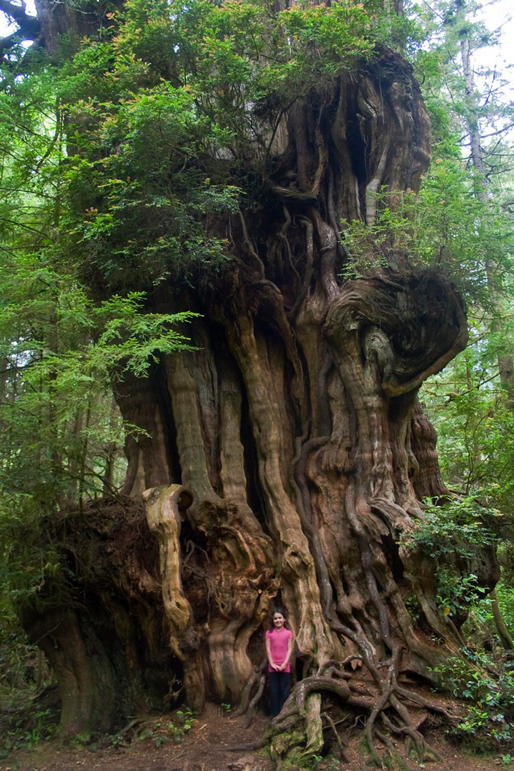
Place · 11.5 mi away
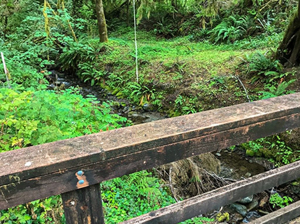
Place · 11.5 mi away
Place · 12 mi away
Challenging · 0 mi away
Challenging · 0 mi away
Easy · 12.2 mi away
Easy · 12.2 mi away

Parkwolf Tour Guide
