
Place · 0 mi away
Challenging
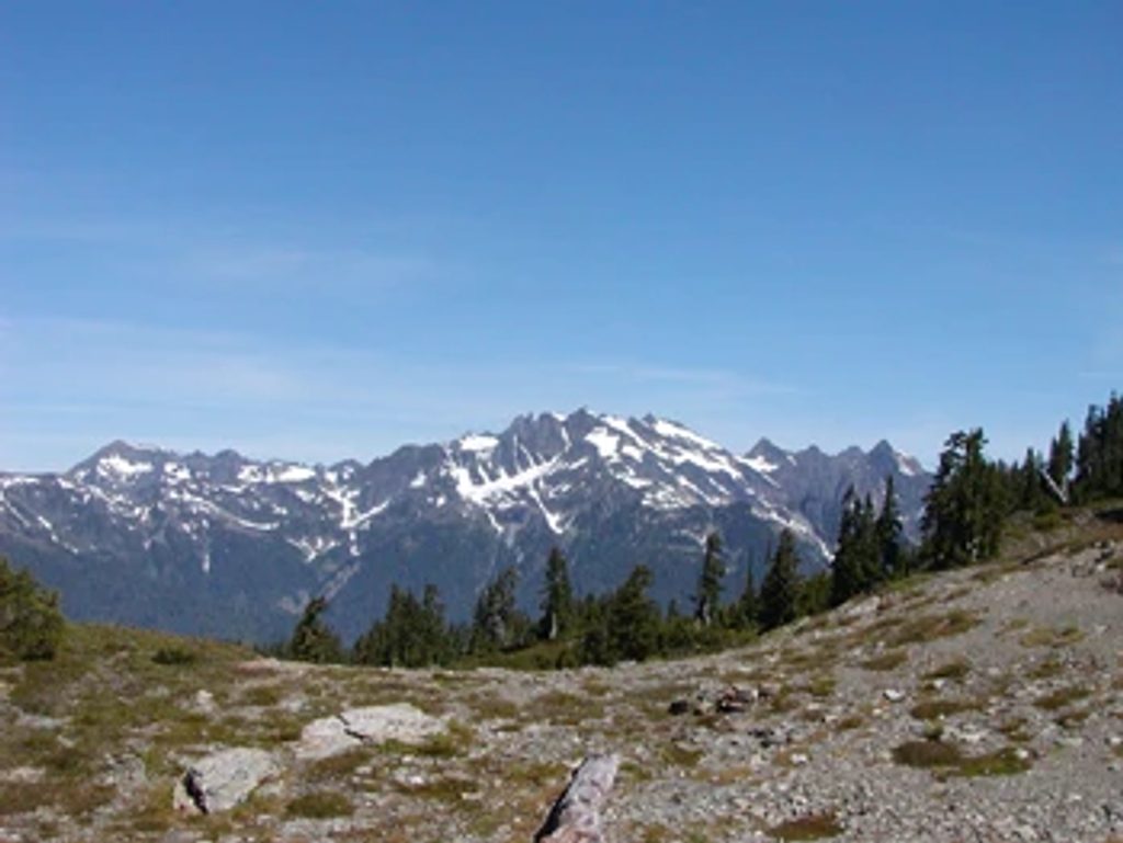
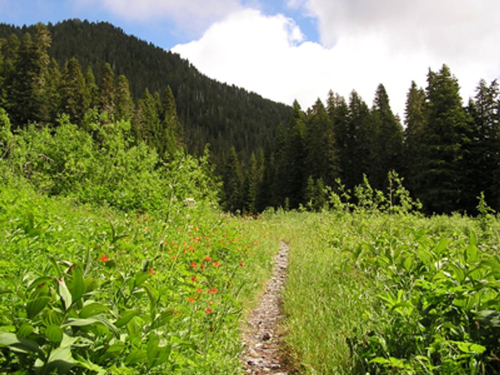
This is the Olympic backcountry at its most honest: a primitive ridge traverse linking the North Fork Quinault country with Low Divide. Expect montane forest climbing into subalpine meadows, long airy ridgelines, and sweeping views that include glimpses of Mount Olympus from high points. The tread is rough and often unmaintained—think blowdowns, brush, and spots where you’re essentially following elk paths.
Distance varies with your exact endpoints and side trips, but plan on roughly 23 miles point‑to‑point between the Three Lakes area and Low Divide (some parties quote up to ~30 with variations). Many hikers tie Skyline into the Quinault River Trail to form a big, demanding loop in the 4–5 day range; the point‑to‑point Skyline segment alone typically takes 3–5 days because of the terrain’s constant ups and downs.
This is a difficult route: steep ascents and descents, primitive tread, and sections that can be overgrown or washed out. You’ll pass Reflection Lake, wildflower meadows in the Kimta Peak basin, and traverse a glacially carved high divide between the Quinault and Queets valleys. Camps exist at places like Three Lakes and Three Prune, but water can be scarce on the ridge—there’s a notably long dry stretch between Three Prune and the Kimta Basin later in summer—so plan fills carefully.
Best time to hike: Late July through October. Snow can linger into August, and earlier season stream crossings can be treacherous. Even in mid‑summer, be ready for sudden weather shifts and the possibility of lingering snowfields.
Permits and logistics: A wilderness camping permit is required, and reservations are recommended in busy months. Bear canisters are required at some camps—bring one. The trail is closed to stock and pets are not allowed. Navigation can be tricky in meadows and in sections impacted by washouts, so carry detailed maps and a GPS. Microspikes can be useful if you hit early‑season snow.
Who will love it? Experienced, self‑sufficient backpackers who want solitude, big mountain scenery, and a true wilderness traverse. If you’re after a groomed path and straightforward miles, this isn’t your trail.
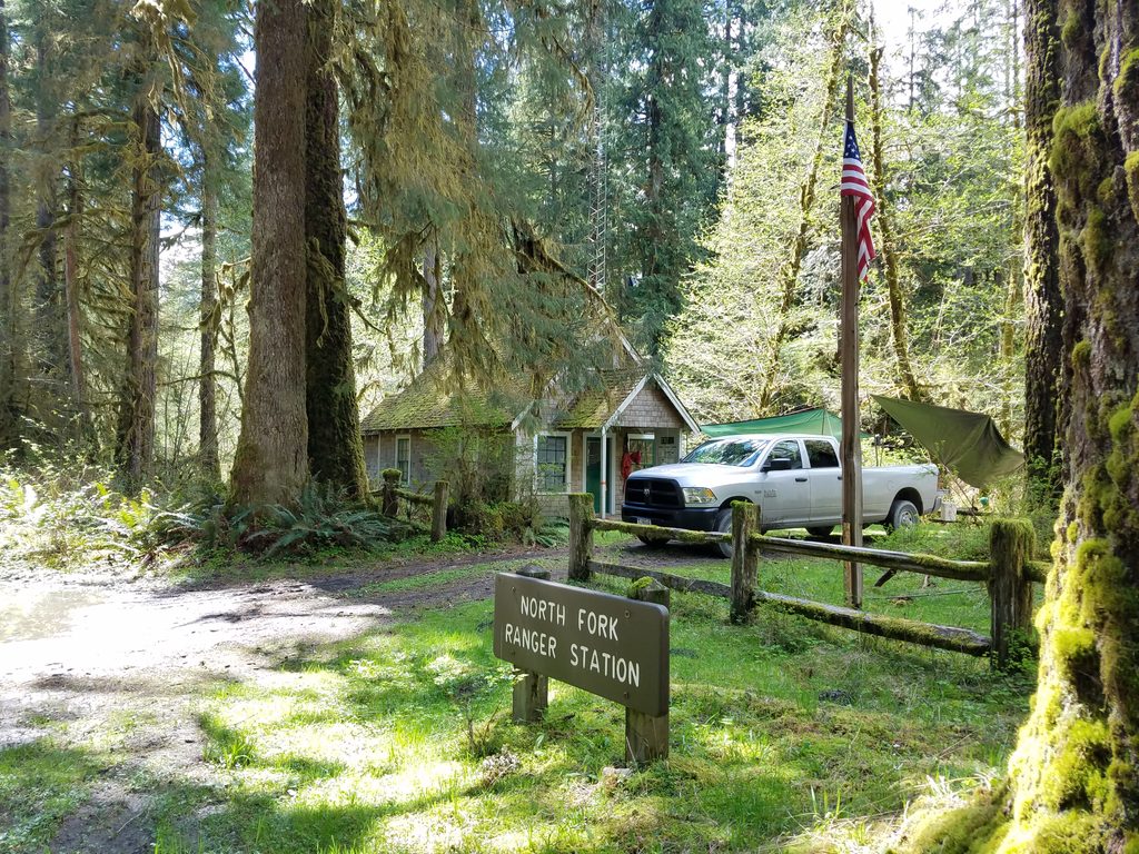
Park at the North Fork Quinault Trailhead to access the Skyline route; many backpackers link Skyline with the Quinault River Trail for a loop or traverse toward Low Divide.
Primitive, difficult route with steep grades, blowdowns, overgrown tread, and tricky stream crossings. Snowfields and sudden weather are possible even in summer. Water is scarce on parts of the ridge (notably between Three Prune and Kimta Basin). Navigation can be challenging—bring maps and GPS. Bear canister required at some camps. Closed to stock; no pets.
Place · 0 mi away
Place · 0.4 mi away
Place · 3.3 mi away
Place · 3.7 mi away
Moderate · 0 mi away
Challenging · 0.7 mi away
Easy · 0.7 mi away
Moderate · 3.7 mi away

Parkwolf Tour Guide
