
Place · 0 mi away
Easy
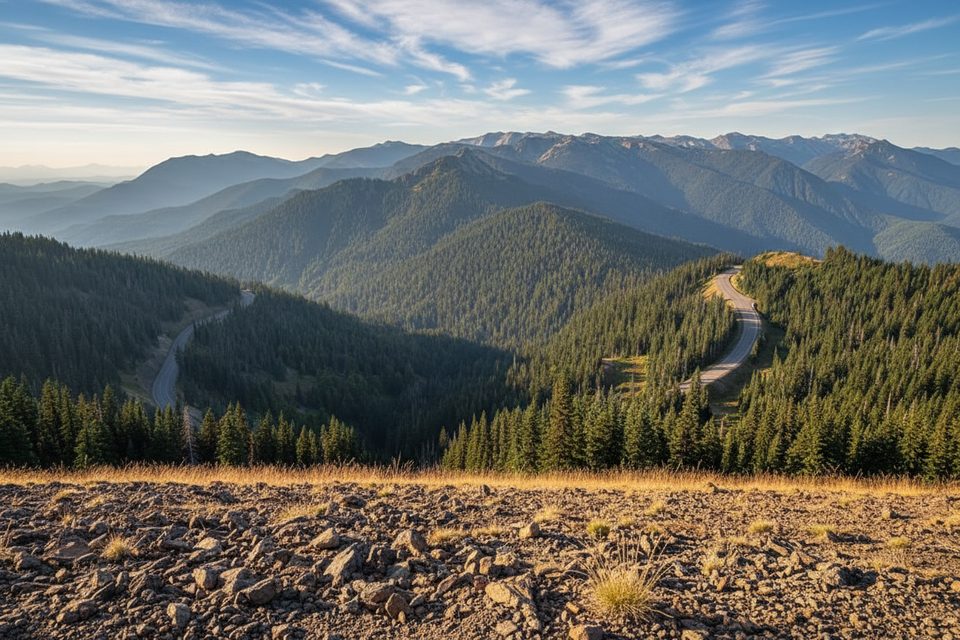
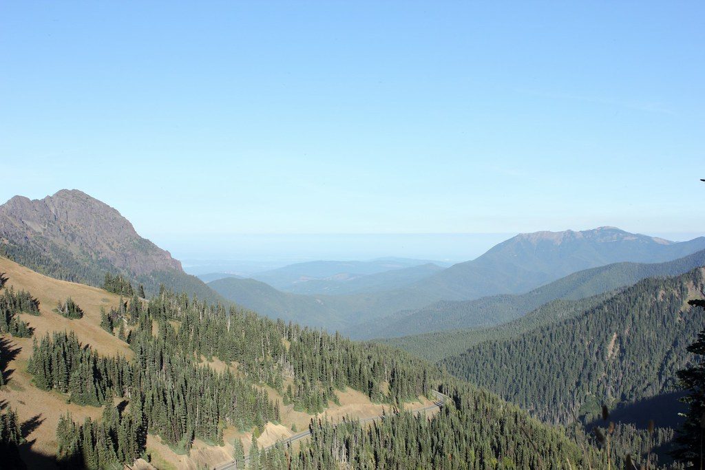
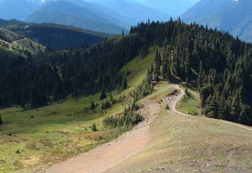
If you want big Olympic Mountain scenery for very little effort, this is your move. The Sunrise Viewpoint sits on a narrow crest above Hurricane Ridge, delivering sweeping looks across deep valleys and out to the Strait of Juan de Fuca and Vancouver Island on clear days. Expect a quick outing with a huge payoff—and summer wildflowers add bonus color.
From the Hurricane Ridge area (near the ski area), start uphill on the paved path and take the High Ridge route to the signed Sunrise spur. The outing is about 0.9 miles round trip via the High Ridge Nature Trail with roughly 219 feet of gain, ending on a short ridge-top spur to the viewpoint. Surfaces are a mix of early pavement and natural tread higher up. If you want to make it a loop, return via Cirque Rim; if you want a touch more mileage, briefly sample Klahhane Ridge from the junction, then turn around.
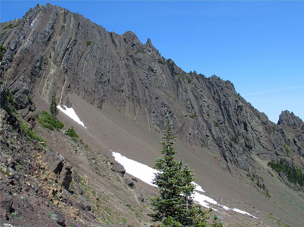
The panorama takes in serrated Olympic peaks and steep, forested valleys. On clear days, look north to the Strait and Vancouver Island. In summer, watch for patches of lupine, paintbrush, and avalanche lilies along the ridgeline meadows. The ridge environment is fragile and dry—plants struggle here—so staying on-trail really matters.
It’s easy overall, but the final spur runs along a narrow ridge with drop-offs on both sides. Most hikers are fine, yet those with vertigo may not love the last stretch. Stick to the Sunrise spur and High Ridge loop to avoid the more exposed terrain farther along Klahhane Ridge.
Late June through September is prime: usually snow-free, wildflowers blooming, and the road reliably open. Weekday mornings beat the crowds. Aim for clear skies for Strait and island views; bring a layer—the ridge can be breezy even on warm days.
Park at the Hurricane Ridge area near the ski area/visitor facilities along Hurricane Ridge Road. The trail starts on the paved path above the parking. There are designated accessible spaces in this lot.
Narrow ridge with drop-offs near the viewpoint; stay on trail to protect fragile alpine vegetation. Weather changes fast and Hurricane Ridge Road can close unexpectedly.
Place · 0 mi away
Place · 0.2 mi away
Place · 2 mi away
Place · 2.6 mi away
Challenging · 0 mi away
Easy · 0 mi away
Easy · 0.1 mi away
Easy · 0.1 mi away

Parkwolf Tour Guide
