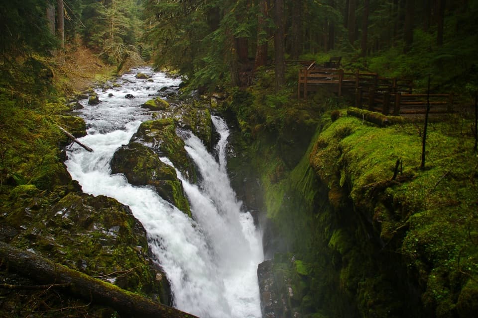
Parking
Start at the east end of the Hurricane Ridge parking area.

Olympic National Park, WA
A half-mile loop to 360-degree views above Hurricane Ridge.
Overview
Map & elevation
Plan your hike

The highest, rockiest slopes around here are a summer buffet for grizzly bears.
Olympic Tour Guide
Parkwolf is a GPS audio tour guide for Olympic National Park. As you drive, it chimes in with what’s ahead: hidden gems, upcoming stops, history, geology, and wildlife, right through your car’s speakers.
See the Olympic audio tourRecorded for this trailhead
Hurricane Ridge“You're approaching Hurricane Ridge, where the Bailey Range panorama opens up right beside the parking area. You don't need a long hike for this one.”
Plays as you drive up to this trailhead in the Parkwolf Olympic Tour Guide.
More stories near here in the app
“Fantastic app with many points of information… It’s great to just turn on while you’re driving and it gives you an audio tour of the national Park. We love it!!!!”


Trail guide
High Ridge Trail is a 0.5-mile loop at Hurricane Ridge that climbs about 220 feet from the parking area to open, 360-degree mountain views. The path is partly paved, with dirt sections, and takes about 30 to 45 minutes with a stop at the top. It is a good short walk if you want a real uphill route and a panoramic payoff without committing to a longer hike.
The trail forks near the start, and either branch reaches the high point. Pavement gives way to dirt as you climb. Mount Angeles comes into view from the first hill; on the open ridge, turn around for the full panorama. Take a moment at the top for the wide view in every direction.
A separate 0.1-mile dead-end spur leads to Sunrise Point. It is an optional extension beyond the loop, so it is not included in the half-mile distance.
Winter brings roughly 30 to 35 feet of snow to Hurricane Ridge, and it can linger into summer. Winds can gust above 75 mph; snow and wind help keep the subalpine meadows open. In spring, wildflowers cover the meadows and black-tailed deer are often seen grazing. This is an exposed, high-elevation walk, so conditions can change the feel of even a short outing.
Wildlife
 710 sightingsOlympic MarmotMost seen around 11 AMSighting map
 30 sightingsHumpback WhaleMost seen around 6 PMSighting map
 42 sightingsGrey WhaleMost seen around noonSighting map
 23 sightingsMountain LionMost seen around 8 PMSighting map
 71 sightingsMountain GoatMost seen around 7 AMSighting map
 306 sightingsBald EagleMost seen around 11 AMSighting map
Sighting maps show where each species has been reported across Olympic. Wildlife moves, so no sighting is guaranteed.
Keep exploring
 EasyCirque Rim Trail0.5 mi · 30 min · At the trailheadA half-mile paved ridge walk to a Strait overlook.
 ModerateKlahhane Ridge Trail7.6 mi · 5.5 hr · 0.2 mi awayA long ridgeline approach saves its steepest climb for the end.
 ChallengingWolf Creek Trail8 mi · 5.5 hr · 0.6 mi awayBailey Range views reward a long descent through alpine flowers.
 ModerateHurricane Hill Trail3.3 mi · 2.5 hr · 1.2 mi awayPaved switchbacks to Bailey Range peaks and the Strait.
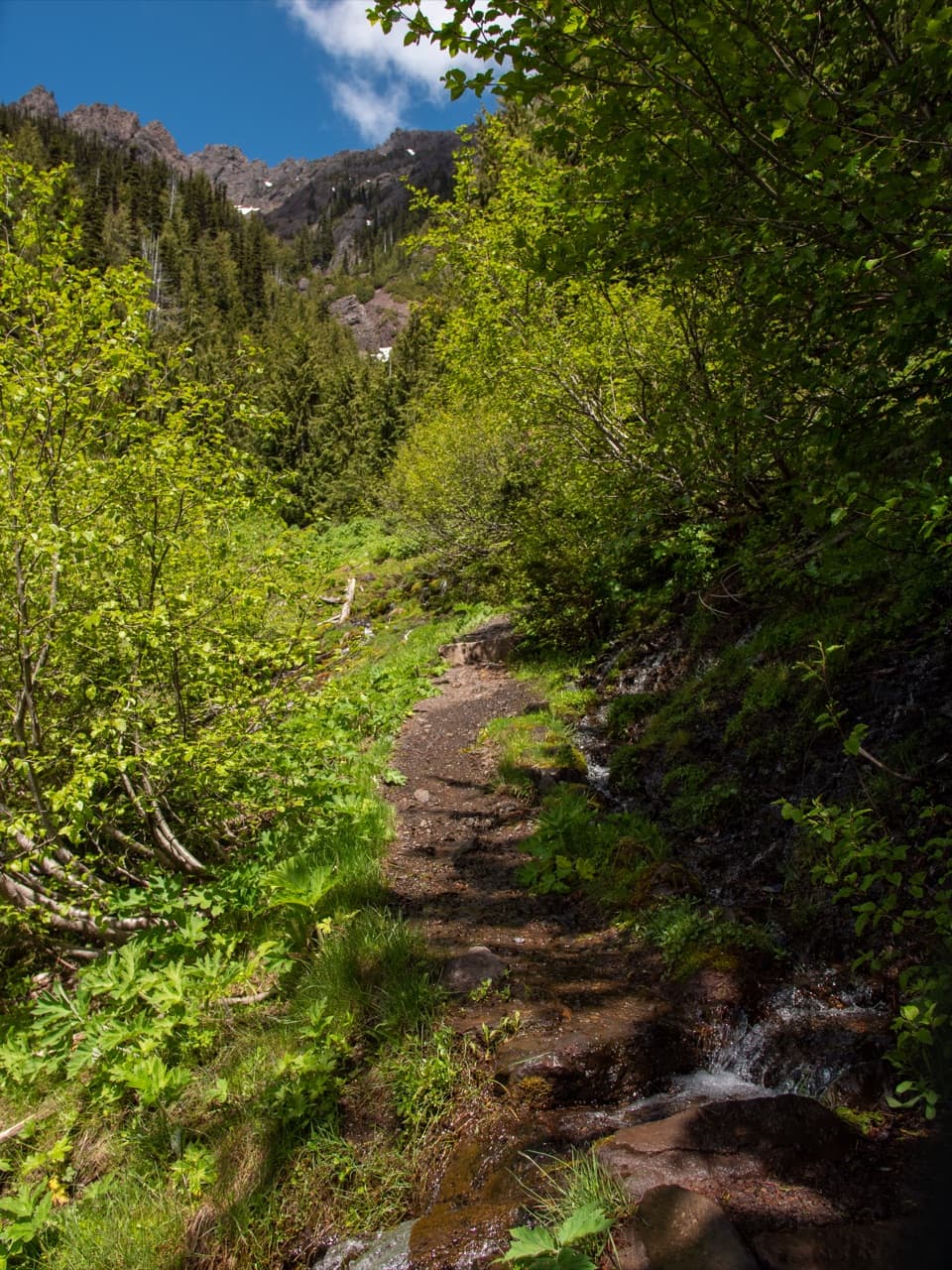 ChallengingSwitchback Trail3.1 mi · 3 hr · 2 mi awayA steep, direct climb to wildflower meadows and Klahhane Ridge.
 ChallengingLong Ridge Trail to Dodger Point21 mi · 13 hr · 2.8 mi awayA demanding ridge hike finishes at a 1933 fire lookout.
 ModerateGoblins Gate Trail3.6 mi · 2 hr · 4 mi awayA steep canyon spur drops to the Elwha’s narrow rocky gate.
 ModerateLillian River Trail13 mi · 8.5 hr · 4 mi awayA 13-mile forest hike to the quiet banks of Lillian River.
 Sight · 0.2 mi awayCirque Rim OverlookA quick paved walk to broad views across the Strait.
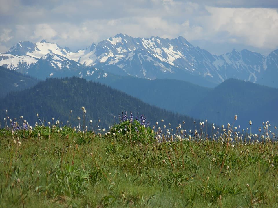 Sight · 0.2 mi awayHurricane RidgeBailey Range views from the road-end meadow.
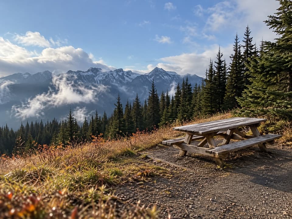 Picnic area · 0.9 mi awayHurricane Hill Picnic Areas A and BA summer picnic stop with mountain views along Hurricane Hill Road.
 Sight · 4.6 mi awayMorse Creek OverlookA quick roadside geology stop with an ice-age lake and pillow basalt.
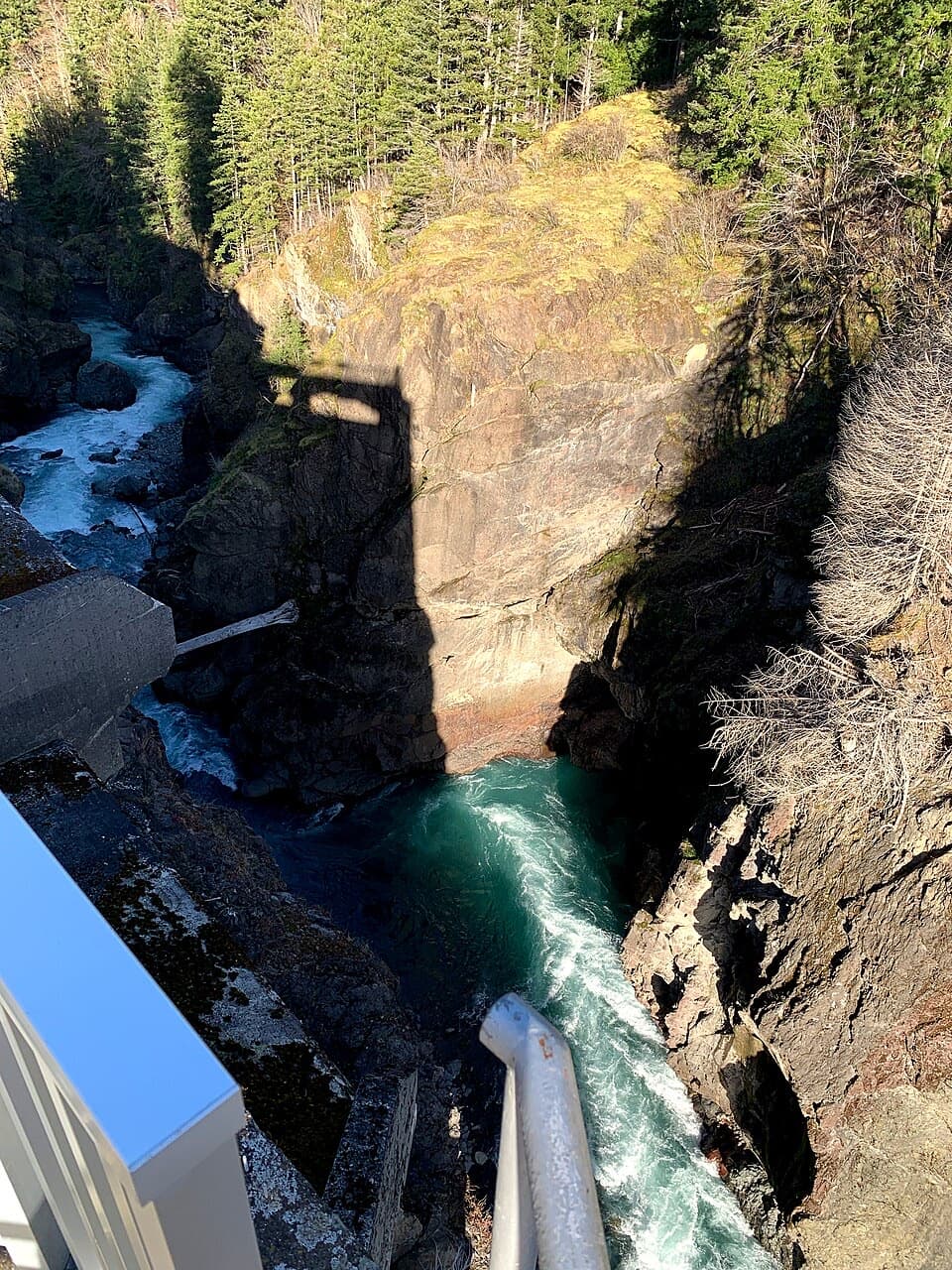 Sight · 5.4 mi awayGlines Canyon Dam OverlookThe reservoir is gone; the river now runs through its canyon.
 Campground · 5.5 mi awayHeart O' the Hills CampgroundA quiet forest base for Hurricane Ridge and a woodland walk.
 Entrance station · 5.6 mi awayHeart O' the Hills Entrance StationA quick fee stop before the road climbs toward Hurricane Ridge.
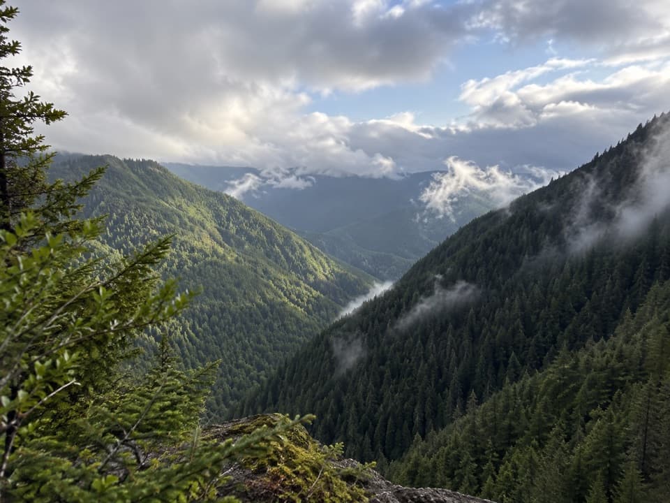 Sight · 6.4 mi awayWater Journey OverlookA quick mountain view on the way up Hurricane Ridge Road.
Parkwolf’s Olympic ranking

The audio tour guide for the drive, plus offline maps, trails, and wildlife heatmaps for when the signal drops.