Pros & cons
PROS
- Scenic alternative to US‑1 with wide mangrove and water views
- Small‑craft/kayak boat ramp with parking just west of the span
CONS
- No restrooms or services at the bridge area
- Cashless toll; toll‑by‑plate adds an administrative fee
Overview
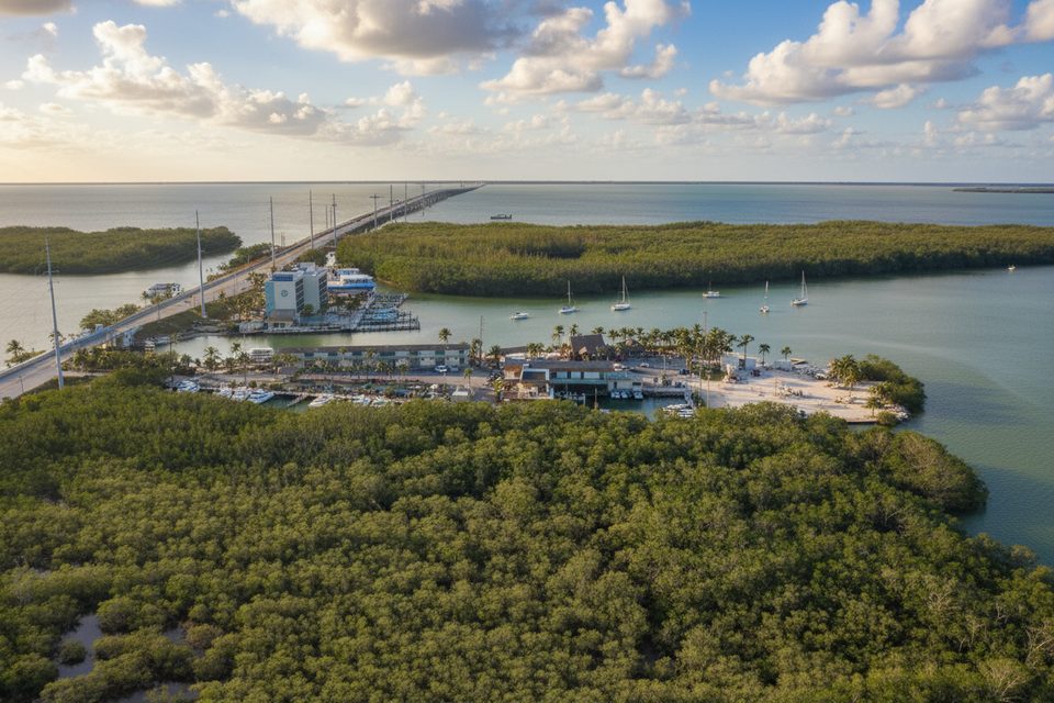
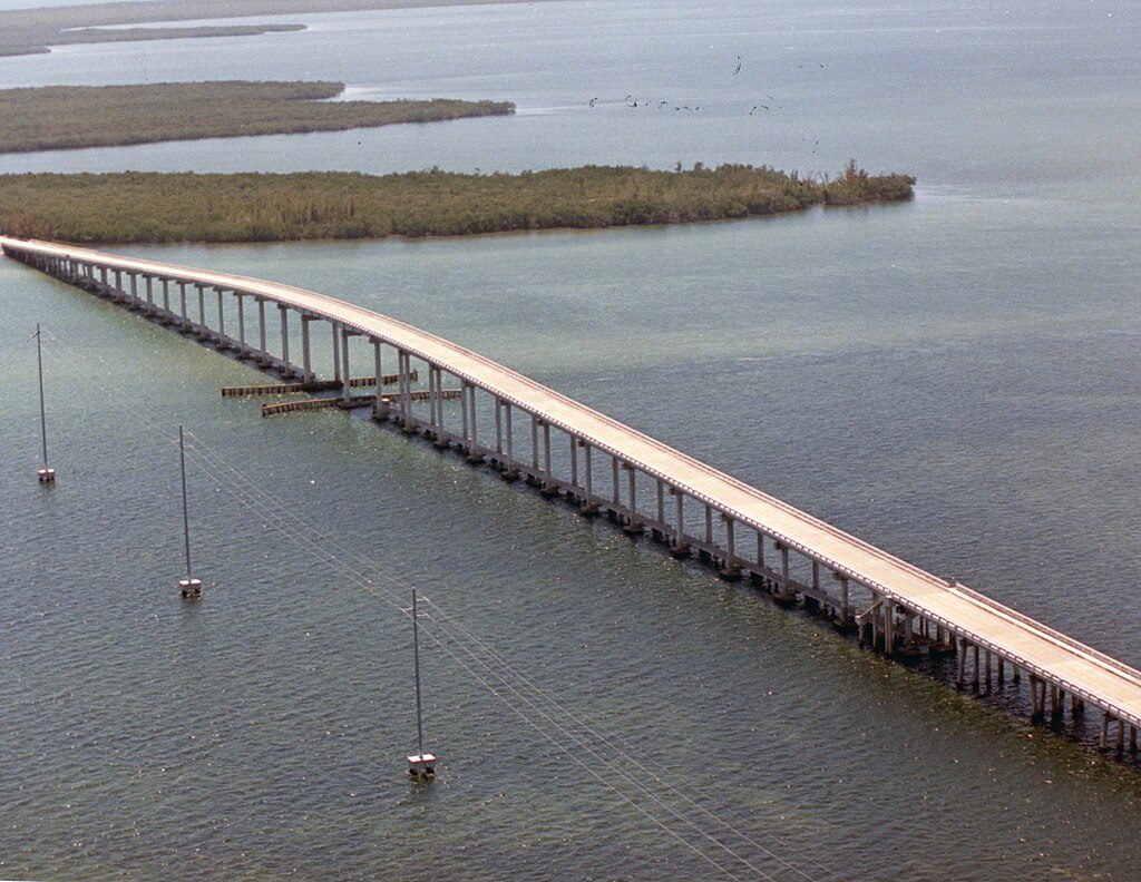
Card Sound Bridge is the quieter, high‑rise toll causeway linking southern Miami‑Dade to northern Monroe County—a scenic backdoor into the Keys that’s open 24/7. Expect a serene drive over bright water and mangrove flats rather than the bustle of US‑1.
What You’ll See
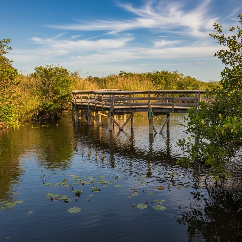
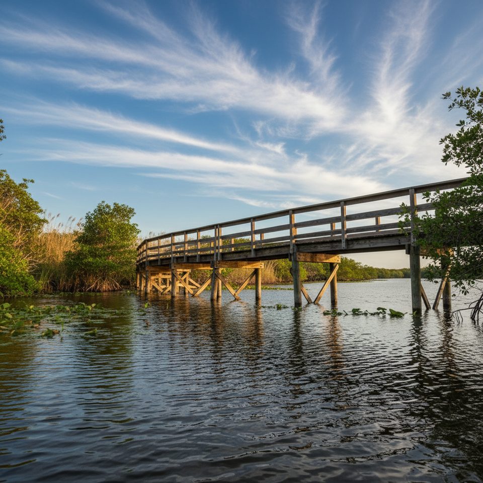
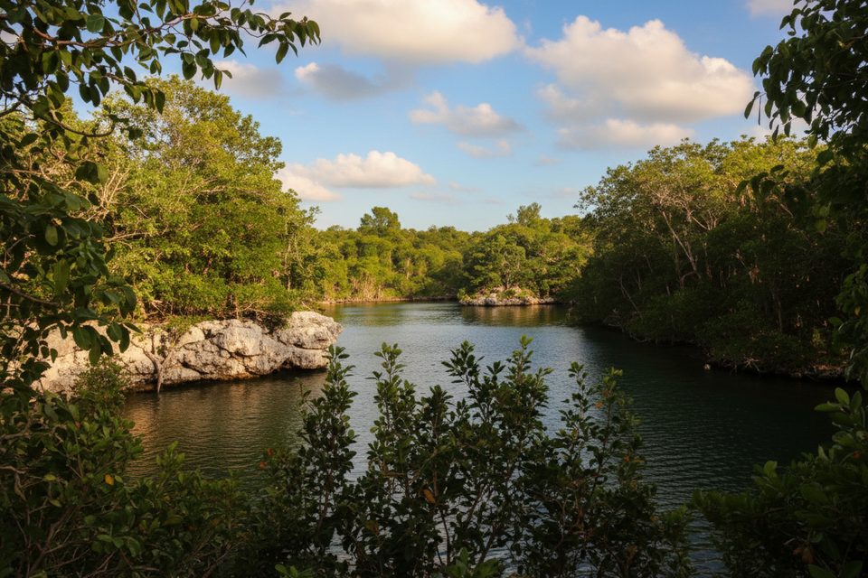
From the crest you get long views across mangroves and shimmering waterways. Travelers describe it as a calm, scenic approach where you might spot wildlife in the surrounding wetlands as you roll over the span.
Logistics and Amenities
- Cashless tolling only. If you don’t have a transponder, toll‑by‑plate bills include a monthly administrative fee.
- No restrooms at the bridge.
- A simple public boat ramp sits on the west side of the bridge: one paved lane in poor condition, best for small boats, kayaks, and canoes; no docks, fuel, or bait store; open 24 hours; parking available at the ramp.
- Services on Card Sound Road are sparse; travelers note there are no gas stations on this stretch.
Best Time to Visit
Popular‑times data shows Sunday mornings around 8–9 am and Monday evenings (roughly 5–10 pm) are the busiest. Weekday late mornings to early afternoons are typically steadier and lighter. If you want a more relaxed crossing and easier photo stops at the nearby ramp pull‑off, aim for those midday weekday windows and avoid the noted peaks.
Why It Matters in Keys History
This route helped launch the first motor passage down the Keys. In 1927, while the bridge was still being finished, cars were ferried to the east end at Pelican Harbor. A 2,800‑foot wooden drawbridge opened in 1928 as part of State Road 4A with additional ferries covering remaining gaps. The 1935 Labor Day Hurricane ravaged the system; afterward, the bankrupt railroad’s right‑of‑way was converted, and the highway reopened in 1938. As heavier military and civilian traffic pushed for a shorter line, the main route shifted to the former railroad alignment (including Jewfish Creek), leaving the Card Sound loop as today’s quieter alternative.
Is It Worth the Detour?
If you like big water views and a calmer drive, yes—this is the underrated, scenic way in. Just come prepared: there’s a toll, no bathrooms, and almost no services right at the bridge.
Where it is
25.2873, -80.3685Tips for Card Sound Bridge
- 01There are no restrooms at the bridge; plan stops in Homestead/Florida City or Key Largo.
- 02Have a transponder or be ready for toll‑by‑plate billing with an admin fee.
- 03The small boat ramp west of the span has parking but suits kayaks and small craft best.
- 04Bring bug spray—mangrove areas here can be buggy, especially at dusk.
- 05Expect limited services on Card Sound Road, including no gas stations.
Amenities
Near Card Sound Bridge
All places →All trails →
4.4 mi awayDagny Johnson Key Largo Hammock Botanical State ParkTropical hammock walk with rare plants, birds, and quiet loopsTrailhead · Restroom
6.6 mi awayCrocodile Lake National Wildlife RefugeTiny butterfly garden at a refuge that’s otherwise off-limitsParking · Exhibit
6.6 mi awayCrocodile Lake National Wildlife Refuge Visitor CenterTiny butterfly garden and kiosk at a mostly closed refugeParking · Exhibit
7.3 mi awayGilbert’sWaterfront tiki bar for sunsets, live music, and boat-up bitesRestaurant · Food
8.4 mi awayFlorida Keys Overseas Heritage TrailIconic Keys ride-walk: flat, sunny, long, with historic bridges.Moderate · 106 mi · 48 hr
11.4 mi awayGrove TrailShort hammock walk to a historic Key lime groveEasy · 0.5 mi · 45 min
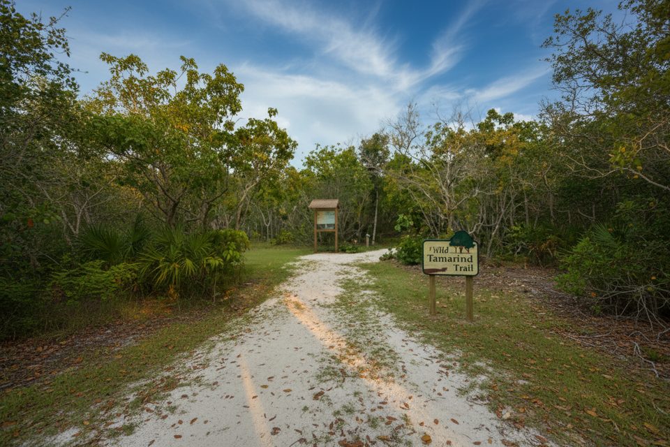
11.4 mi awayWild Tamarind TrailShady coral limestone loop through rare Keys tropical hammockEasy · 0.3 mi · 12 min
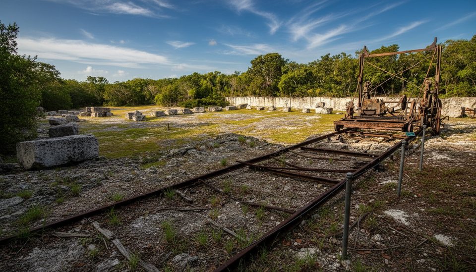
26.9 mi awayWindley Key Quarry TrailShort loop among coral-quarry walls with fossil coral up closeEasy · 0.4 mi · 30 min