Smathers Beach in Overseas Highway

Beach · Overseas Highway

Smathers Beach

Palms, volleyball, and a half-mile of Atlantic beach.

Photo: Public Domain
Type
Beach
Nearest trail
0.6 mi
Audio stories
7 nearby
  • Parking
  • Restrooms

Hear the audio tour

Smathers Beach: Palms and a Famous Landing

Overview

About Smathers Beach

Why stop

  • Half a mile of palm-lined sand makes an easy roadside beach break.
  • Volleyball nets and showers make a longer stop practical.

Heads up

  • Water clarity and seaweed vary, and the entry can be rocky.
  • There are no lifeguards; parking is metered.

Map

Where it is

Loading the Overseas Highway map
Full map
BeachSmathers Beach24.55198, -81.76873
Keep this map with you offline in the Parkwolf app

Plan your stop

Before you go

3 active Overseas Highway alerts

  • CautionCoastal flooding across the Florida KeysA Coastal Flood Warning remains in effect for the Upper Keys and Coastal Flood Advisories remain in effect for the Middle and Lower Keys until 5 a.m.Official details
  • CautionNighttime lane closures on Seven Mile BridgeExpect possible nighttime lane closures on Seven Mile Bridge for FDOT’s rehabilitation project to repair and strengthen the bridge.Official details

See all 3 alerts
A park ranger sits on a dash-mounted phone, talking, as Parkwolf’s Tour Guide plays “Army Cutworm Moths: A Grizzly Bear Buffet” on Grand Loop Road below Dunraven Pass in Yellowstone
Parkwolf Tour GuideThe highest, rockiest slopes around here are a summer buffet for grizzly bears.

Overseas Highway Tour Guide

Your drive to Smathers Beach, narrated.

Parkwolf is a GPS audio tour guide for Overseas Highway. As you drive, it chimes in with what’s ahead: hidden gems, upcoming stops, history, geology, and wildlife, right through your car’s speakers.

See the Overseas Highway audio tour

Recorded for this place

Smathers Beach: Palms and a Famous Landing
0:00 / 0:31
“Smathers Beach is coming up beside South Roosevelt Boulevard, with about half a mile of palm-lined sand. Stop for a beach walk or a game of volleyball; this is a roadside city beach, so don't expect a secluded cove.”

Plays as you drive up to Smathers Beach in the Parkwolf Overseas Highway Tour Guide.

More stories near here in the app

  • Fort East Martello: Robert the Doll and Scrap-Metal Art
  • The Keeper Who Returned
  • Higgs Beach and West Martello Gardens
  • Southernmost Point and the Butterfly Conservatory
  • 136 audio storiesacross Overseas Highway’s roads, triggered by GPS as you drive
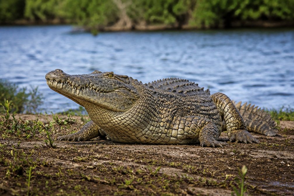
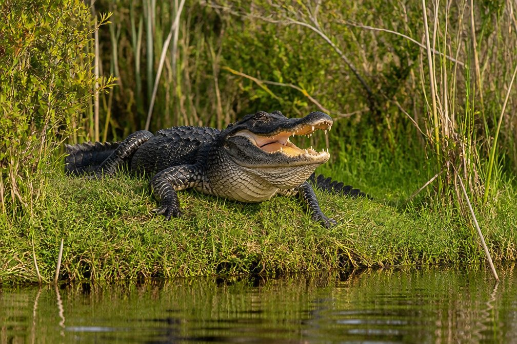
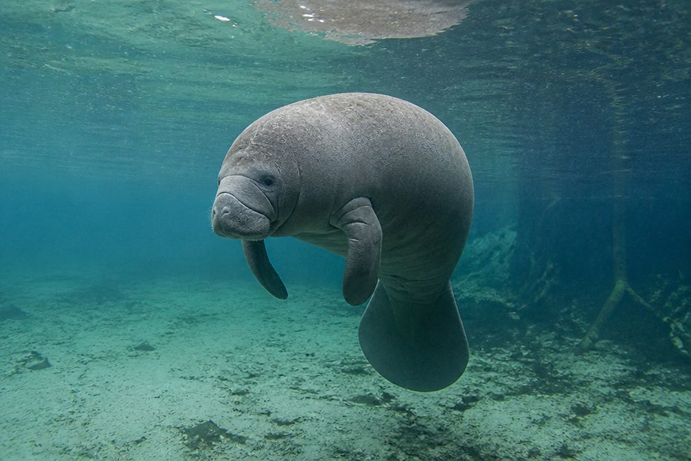
  • Wildlife heatmapsfor Crocodile, Alligator, Manatee, and 13 more
  • Works offlinemaps, 26 trails, 88 places, and audio download before you lose signal
  • CarPlay readysimple controls built for the drive
★★★★★
“Fantastic app with many points of information… It’s great to just turn on while you’re driving and it gives you an audio tour of the national Park. We love it!!!!”
JMJamesApp Store review
Download Parkwolf on the App StoreGet Parkwolf on Google Play

4.7 from 8,600+ ratings

Guide

More about Smathers Beach

A proper beach stop at Key West’s edgeSmathers Beach is a roughly half-mile, man-made public beach on Key West’s south shore, beside…

Smathers Beach is a roughly half-mile, man-made public beach on Key West’s south shore, beside South Roosevelt Boulevard (A1A) and the Atlantic. The City calls it the island’s largest public beach. Its palm line and long stretch of sand make it an easy place to walk or settle in without a major detour; the tradeoff is that this is a roadside city beach, not a secluded cove. It starts near U.S. 1’s Mile Marker 0, so it fits naturally at the Key West end of the drive.

Swimming is a bonus, not a sure thingThe water can be shallow and calm, but swimming conditions vary.

The water can be shallow and calm, but swimming conditions vary. Visitors describe both clear, comfortable swims and days when sargassum piles up, the water looks murky, or rocks make the entry less pleasant. Don’t plan the stop around swimming alone, and remember there are no lifeguards.

Make the visit easyThe City lists volleyball nets, public restrooms, and shower facilities.

The City lists volleyball nets, public restrooms, and shower facilities. Metered parking and public lots sit along the beach; prices and enforcement hours can change, so follow the signs. Visitor accounts differ on how easy it is to find a space. An early stop can mean a quieter walk and fewer chairs in the foreground. Food trucks may be around, but there isn’t a dependable vendor lineup to plan lunch around.

Get the palms in the frameWalk onto the sand and let a palm trunk frame the open water, keeping a strip of beach in the…

Walk onto the sand and let a palm trunk frame the open water, keeping a strip of beach in the foreground so the photo still feels grounded in the place. Early morning is a good bet before umbrellas and loungers fill in, though the light changes with the season.

A landing with a storyThe beach is named for former Florida senator George Smathers.

The beach is named for former Florida senator George Smathers. On September 2, 2013, endurance swimmer Diana Nyad came ashore here after a 110-mile, 53-hour swim from Havana. Key West later unveiled a bronze plaque on the beach to mark the finish.

Wildlife

Wildlife in Overseas Highway

All Overseas Highway wildlife maps

Sighting maps show where each species has been reported across Overseas Highway. Wildlife moves, so no sighting is guaranteed.

Parkwolf’s Overseas Highway ranking

Top sights in Overseas Highway

All 88 places
  1. 1Old Seven Mile BridgeSight
  2. 2Southernmost Point BuoySight
  3. 3Mallory SquareSight
  4. 4Calusa BeachBeach
  5. 5Ernest Hemingway Home and MuseumSight
  6. 6Robbie’s of IslamoradaSight

Take Parkwolf to Overseas Highway.

The audio tour guide for the drive, plus offline maps, trails, and wildlife heatmaps for when the signal drops.

4.7 from 8,600+ ratings

Download Parkwolf on the App StoreGet Parkwolf on Google Play