Southernmost Point Buoy in Overseas Highway

#2 of 64 sights in Overseas Highway

Sight · Overseas Highway

Southernmost Point Buoy

A quick photo with Key West’s famous painted buoy.

Type
Sight
Nearest trail
2.2 mi
Audio stories
14 nearby

Hear the audio tour

Southernmost Point and the Butterfly Conservatory

Overview

About Southernmost Point Buoy

Why stop

  • A recognizable Key West photo stop with a local story.

Heads up

  • The visit is brief, and a long line can mean waiting in the heat.

Map

Where it is

Loading the Overseas Highway map
Full map
SightSouthernmost Point Buoy24.54679, -81.79603
Keep this map with you offline in the Parkwolf app

Plan your stop

Before you go

3 active Overseas Highway alerts

  • CautionCoastal flooding across the Florida KeysA Coastal Flood Warning remains in effect for the Upper Keys and Coastal Flood Advisories remain in effect for the Middle and Lower Keys until 5 a.m.Official details
  • CautionNighttime lane closures on Seven Mile BridgeExpect possible nighttime lane closures on Seven Mile Bridge for FDOT’s rehabilitation project to repair and strengthen the bridge.Official details

See all 3 alerts
A park ranger sits on a dash-mounted phone, talking, as Parkwolf’s Tour Guide plays “Army Cutworm Moths: A Grizzly Bear Buffet” on Grand Loop Road below Dunraven Pass in Yellowstone
Parkwolf Tour GuideThe highest, rockiest slopes around here are a summer buffet for grizzly bears.

Overseas Highway Tour Guide

Your drive to Southernmost Point Buoy, narrated.

Parkwolf is a GPS audio tour guide for Overseas Highway. As you drive, it chimes in with what’s ahead: hidden gems, upcoming stops, history, geology, and wildlife, right through your car’s speakers.

See the Overseas Highway audio tour

Recorded for this place

Southernmost Point and the Butterfly Conservatory
0:00 / 0:35
“You're coming up on the Southernmost Point area, a familiar Key West photo stop. The painted buoy is a landmark rather than an exact geographic claim: Ballast Key lies farther south.”

Plays as you drive up to Southernmost Point Buoy in the Parkwolf Overseas Highway Tour Guide.

More stories near here in the app

  • Hemingway Home and Key West Lighthouse
  • Higgs Beach and West Martello Gardens
  • Ingham: Inside a Coast Guard Cutter
  • U.S. 1 Mile Marker Zero
  • 136 audio storiesacross Overseas Highway’s roads, triggered by GPS as you drive
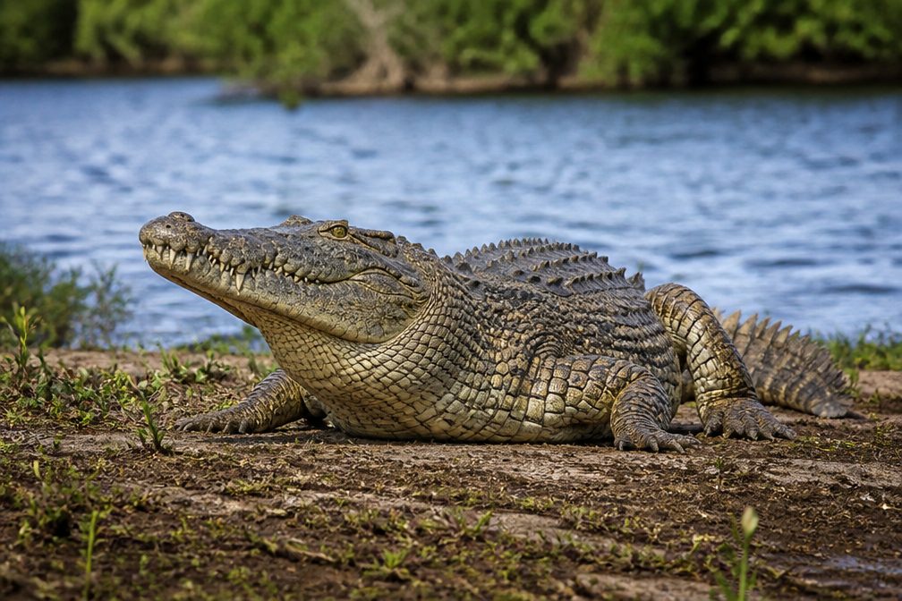
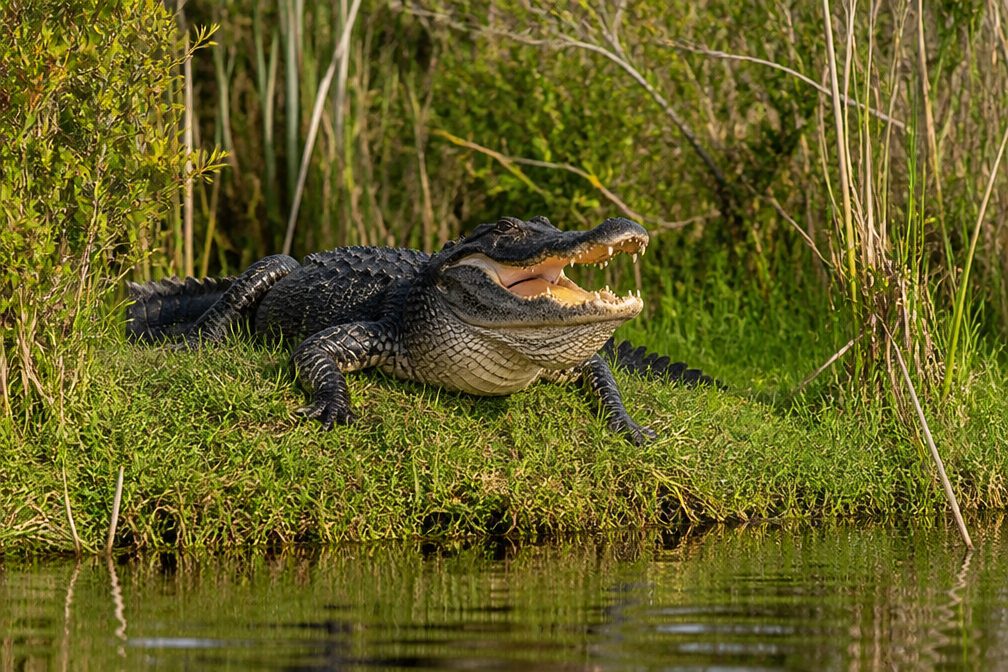
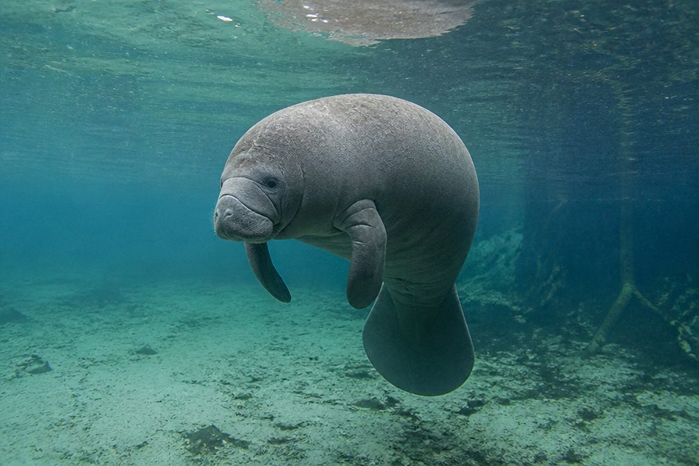
  • Wildlife heatmapsfor Crocodile, Alligator, Manatee, and 13 more
  • Works offlinemaps, 26 trails, 88 places, and audio download before you lose signal
  • CarPlay readysimple controls built for the drive
★★★★★
“Fantastic app with many points of information… It’s great to just turn on while you’re driving and it gives you an audio tour of the national Park. We love it!!!!”
JMJamesApp Store review
Download Parkwolf on the App StoreGet Parkwolf on Google Play

4.7 from 8,600+ ratings

Guide

More about Southernmost Point Buoy

What it isSouthernmost Point Buoy is the colorful concrete marker at Key West’s southern end, where most…

Southernmost Point Buoy is the colorful concrete marker at Key West’s southern end, where most people stop for the familiar photo beside its “90 Miles to Cuba” bands. It is a quick landmark stop; a long line can outlast the visit itself.

Finding the current markerThe visitor photo marker is at 1499 Duval Street while the original South and Whitehead Streets…

The visitor photo marker is at 1499 Duval Street while the original South and Whitehead Streets corner undergoes seawall and roadway repairs. If an older map pin sends you to the historic corner, head to 1499 Duval for the current marker. Parking nearby is limited, so plan to walk from elsewhere in Old Town or use a paid space. Early visits often mean less waiting, though the line varies.

A Key West landmark, not a survey pointThe original concrete buoy went up in 1983 at South and Whitehead to mark that corner as 90…

The original concrete buoy went up in 1983 at South and Whitehead to mark that corner as 90 miles from Cuba. Its bold bands and wording turned a tourist marker into one of Key West’s best-known symbols. The geographic claim is symbolic: Ballast Key lies farther south, so this is not the exact southernmost point of the continental United States.

The people behind the cornerBefore the buoy became the main photo, Julian “Yankee” Kee sold local fish and conch from a…

Before the buoy became the main photo, Julian “Yankee” Kee sold local fish and conch from a table near the historic corner. His grandson Albert, known as “the Bishop,” greeted visitors and sounded a conch shell. That neighborhood story gives the landmark a human history beyond the queue and the snapshot.

Make the photo countStand beside the buoy and leave a little water in the frame; a person next to it shows its…

Stand beside the buoy and leave a little water in the frame; a person next to it shows its scale, and the waterfront makes the setting clear. If a line forms, have your phone ready and take a couple of frames before moving along.

Wildlife

Wildlife in Overseas Highway

All Overseas Highway wildlife maps

Sighting maps show where each species has been reported across Overseas Highway. Wildlife moves, so no sighting is guaranteed.

Parkwolf’s Overseas Highway ranking

Top sights in Overseas Highway

All 88 places
  1. 1Old Seven Mile BridgeSight
  2. 3Mallory SquareSight
  3. 4Calusa BeachBeach
  4. 5Ernest Hemingway Home and MuseumSight
  5. 6Robbie’s of IslamoradaSight
  6. 7Pigeon KeySight

Take Parkwolf to Overseas Highway.

The audio tour guide for the drive, plus offline maps, trails, and wildlife heatmaps for when the signal drops.

4.7 from 8,600+ ratings

Download Parkwolf on the App StoreGet Parkwolf on Google Play