Parking
Use the small lot on the left after Government Road’s sharp bend, at the Little Hamaca trailhead. It fits only a few cars. Additional pond viewpoints farther along Government Road are separate roadside stops.

Overseas Highway, FL
Boardwalk through mangroves to the old salt ponds and canal.
Overview
Map & elevation
Plan your hike

The highest, rockiest slopes around here are a summer buffet for grizzly bears.
Overseas Highway Tour Guide
Parkwolf is a GPS audio tour guide for Overseas Highway. As you drive, it chimes in with what’s ahead: hidden gems, upcoming stops, history, geology, and wildlife, right through your car’s speakers.
See the Overseas Highway audio tourRecorded for this area
Smathers Beach: Palms and a Famous Landing“Smathers Beach is coming up beside South Roosevelt Boulevard, with about half a mile of palm-lined sand. Stop for a beach walk or a game of volleyball; this is a roadside city beach, so don't expect a secluded cove.”
Plays on the road 0.6 mi from the trailhead in the Parkwolf Overseas Highway Tour Guide.
More stories near here in the app
“Fantastic app with many points of information… It’s great to just turn on while you’re driving and it gives you an audio tour of the national Park. We love it!!!!”


Trail guide
Little Hamaca Nature Trail is about 0.4 mile round trip, following a boardwalk and footpath from the small Government Road trailhead to Riviera Canal and back. It is mostly level and takes about 20 to 30 minutes with a look around. Choose it for a quick nature walk through Key West’s mangroves and salt-pond landscape; it is a short stop, not a long hike.
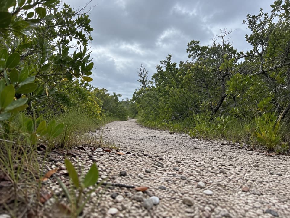
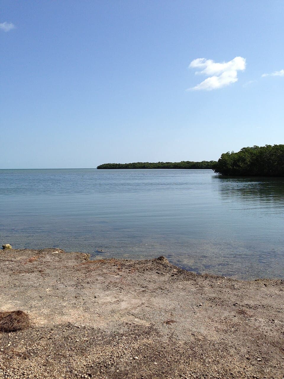
The boardwalk starts in a close tunnel of mangroves, then opens onto the broad, shallow salt ponds. After the raised deck, a lower footpath continues through a short stretch of tropical hammock to the canal dock. When the pond bottom has dried, patches of caked salt show up white against the rock.
Key West’s salt ponds were cut into coral rock in the 1830s. Riviera Canal was dug inland from Cow Key Channel to bring seawater to those shallow pans, where the sun did the work of evaporating salt. Look for the shallow hand-cut feeder channels in the rock; they are easy to miss from the path.
The trailhead is on the left after the sharp bend in Government Road, and its lot fits only a few cars. There is no restroom, and pets are not allowed. The low footpath beyond the boardwalk can flood at high tide, so turn back if water blocks it. The surrounding hammock has poisonous plants; keep to the trail. If you want more pond views, Government Road has separate roadside viewpoints beyond the trailhead.
Wildlife
 18 sightingsCrocodileMost seen around 6 PMSighting map
 255 sightingsAlligatorMost seen around 6 PMSighting map
 55 sightingsManateeMost seen around 7 AMSighting map
 70 sightingsCommon Bottlenose DolphinMost seen around 9 AMSighting map
 51 sightingsBald EagleMost seen around 8 AMSighting map
 1,120 sightingsKey DeerMost seen around 6 PMSighting map
Sighting maps show where each species has been reported across Overseas Highway. Wildlife moves, so no sighting is guaranteed.
Keep exploring
 Beach · 0.6 mi awaySmathers BeachPalms, volleyball, and a half-mile of Atlantic beach.
 Sight · 0.6 mi awayFort East Martello MuseumAn unarmed fort, a famous doll, and metal folk art
 Sight · 1.5 mi awayKey West Tropical Forest & Botanical GardenA shaded native-forest walk, rare ponds, and Cuban Chugs on display.
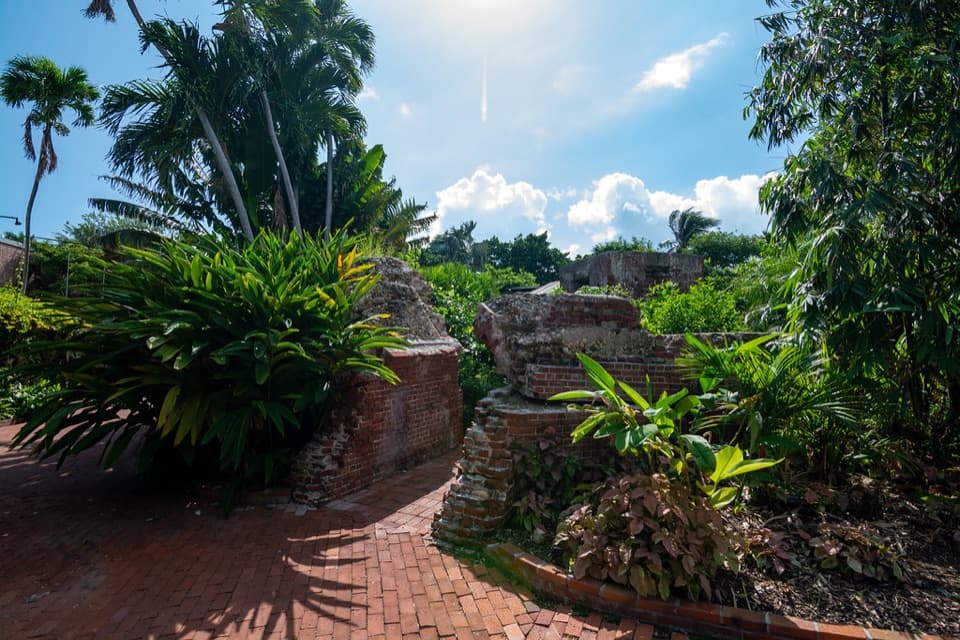 Sight · 1.6 mi awayWest Martello Tower and GardensA former coastal battery turns into a slow garden walk.
 Beach · 1.7 mi awayClarence S. Higgs Memorial BeachA roomy Atlantic beach with a wooden pier stretching out to sea.
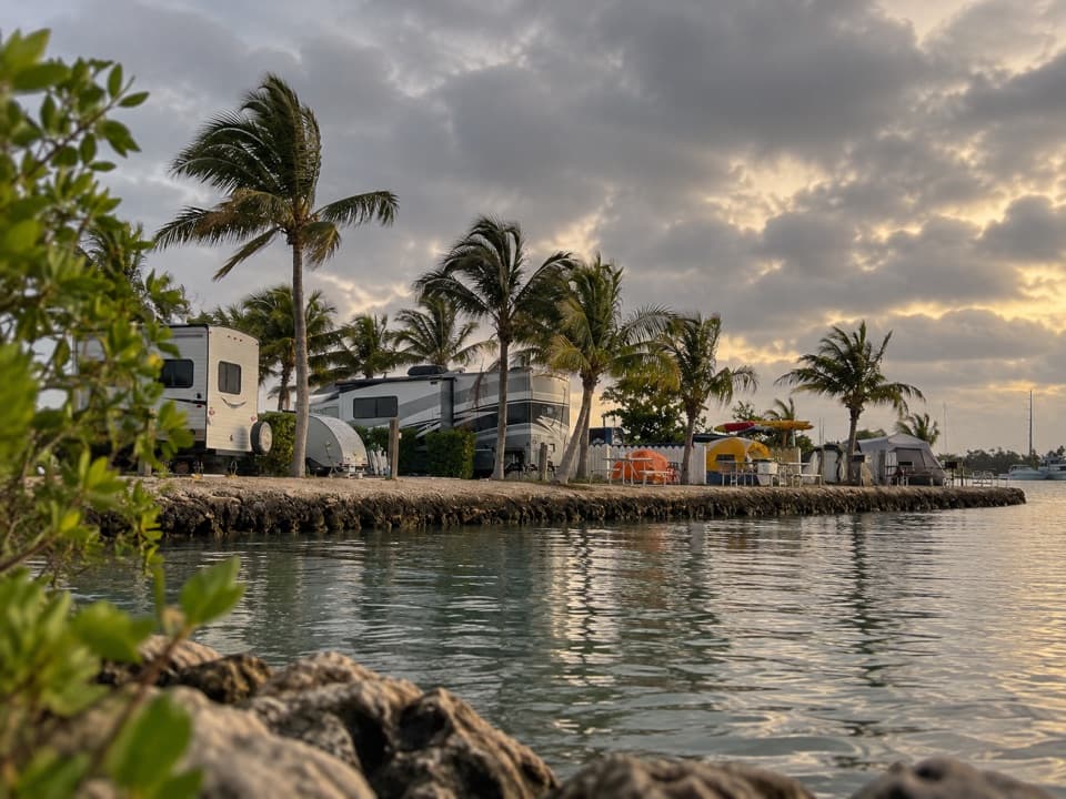 Campground · 2.1 mi awayBoyd’s Key West CampgroundA waterfront camping base four miles from Old Town.
 Sight · 2.1 mi awayKey West CemeteryA free map makes this cemetery a compact tour of island history.
 Beach · 2.2 mi awaySouth BeachA pocket beach with a pier off the south end of Duval.
Parkwolf’s Overseas Highway ranking

The audio tour guide for the drive, plus offline maps, trails, and wildlife heatmaps for when the signal drops.