
Place · 0.8 mi away
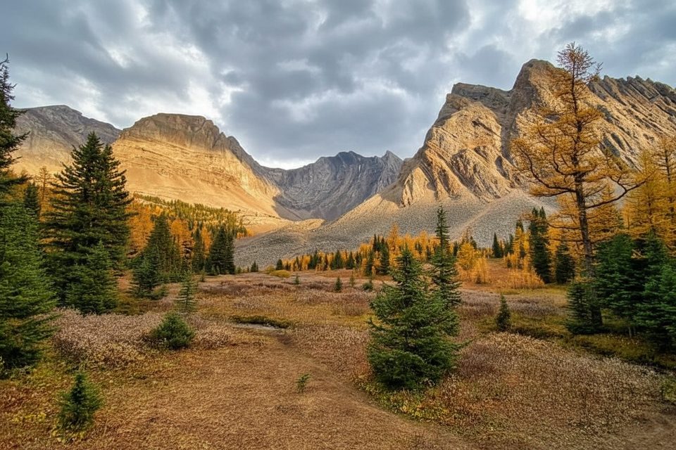
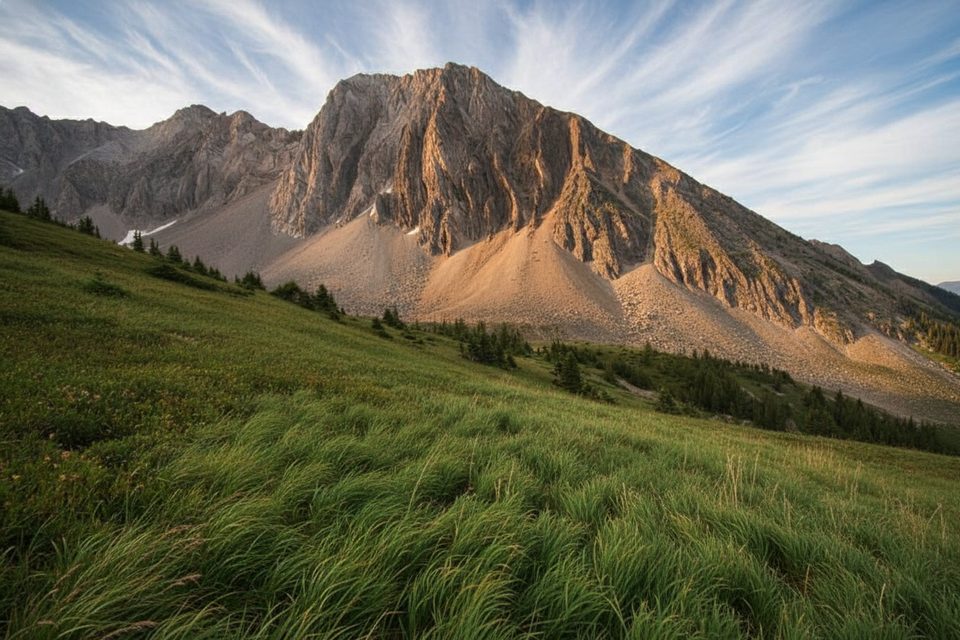
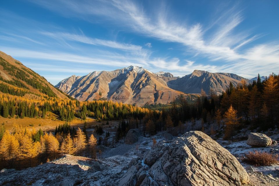
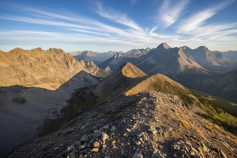
Arethusa Cirque is a compact alpine loop that punches way above its weight: about 4.5 km with roughly 377 m of climbing through forest, meadow, and a classic bowl beneath Storm Mountain. It’s popular for its golden larch show in late September, but the views—rubble slopes, slim tarns, and skyline ridges—hold up all summer.
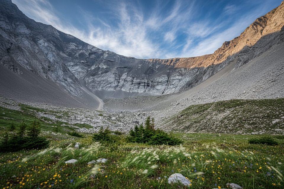
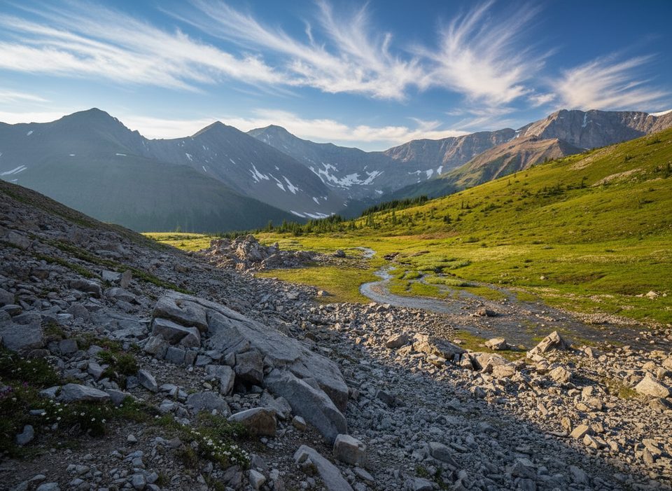
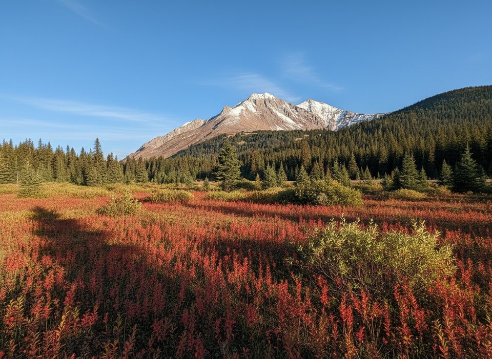
From the small pullout on Highway 40, the path climbs gently through forest to an open meadow with a creek and a little pond. Skirt the meadow beside a large rockfall, make a few easy rock‑hop creek crossings, then grind up a scree slope to traverse the rim of the cirque with wide views of Mount Arethusa, Little Arethusa, and Highwood Ridge. A signed/obvious side path leads toward Little Arethusa if you want a steeper add‑on. Close the loop with a brisk, steeper descent back to the meadow.
This is an unofficial, unmaintained, and largely unsigned route—download an offline map and keep an eye on your position when the path fades around the boulder and scree benches. Trekking poles help on the loose bits, and in shoulder season microspikes are commonly needed. There are no services at the trailhead; plan water, snacks, and layers for quick mountain weather swings.
The cirque floor and rock piles are lively—listen for pikas among the talus, and keep an eye out for mountain sheep on the surrounding slopes. In late September, larches flame yellow across the valley floor and lower hillsides, making this loop a crowd‑pleasing fall color stop. As always, give wildlife plenty of space and practice Leave No Trace.
July through September offers the driest footing and biggest views. For peak larch color, aim for the last two weeks of September. During larch season, go early on weekends to beat crowds. Photographers: soft light and calm air around sunrise and late afternoon often yield reflections in the meadow pond; midday can be bright and busy.
Place · 0.8 mi away
Place · 0.8 mi away
Place · 0.9 mi away
Place · 0.9 mi away
Easy · 0.8 mi away
Moderate · 0.8 mi away
Easy · 0.8 mi away
Challenging · 0.8 mi away

Parkwolf Tour Guide
