
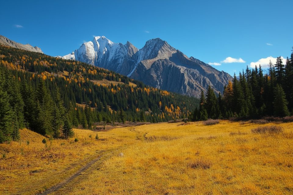
Place · 0 mi away
Challenging
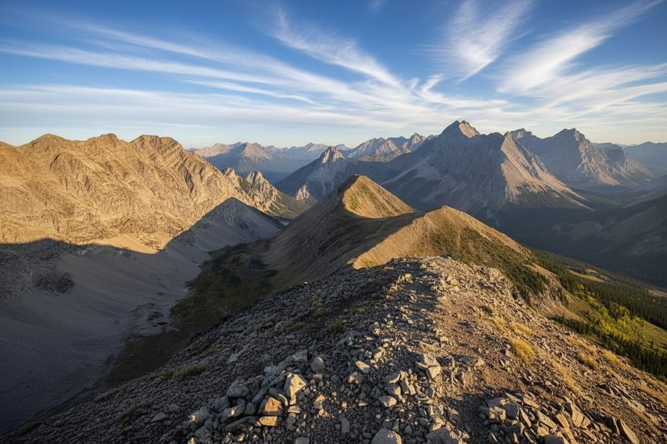
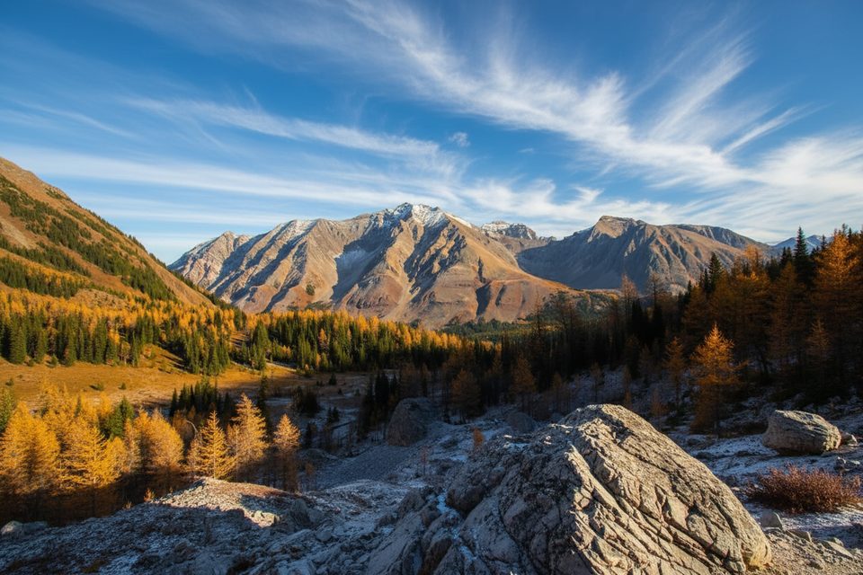
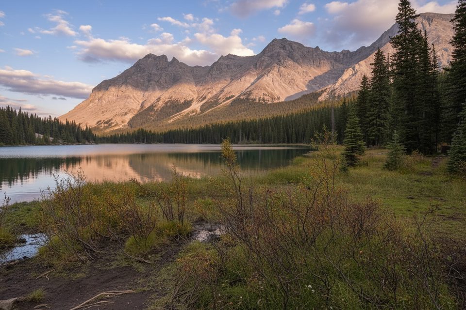
Pocaterra Ridge is a classic Kananaskis ridge traverse with big‑sky views and autumn larches that steal the show. The standard point‑to‑point route is about 6.1 miles (9.8 km) total with roughly 2,322 feet (708 m) of elevation gain. Expect undulating high points, exposure to wind, and a couple of steep pitches that make this feel more serious than its mileage suggests.
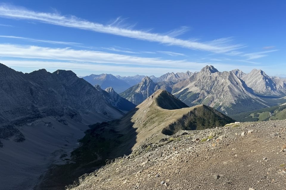
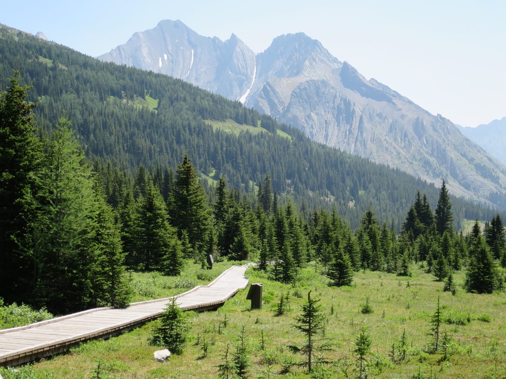
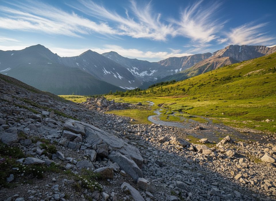
Start from Highwood Meadows Day Use and follow the boardwalk/trail for a short stretch before turning left onto the lesser path toward the ridge (watch for the “Fragile Area” sign). The forested approach can be confusing due to braided paths, but it soon opens into a larch‑filled valley. A well‑traveled path passes the junction for Pocaterra Cirque (an easier alternative that skips the summit) before tackling the ridge’s steep climb—about 325 m gained over the final kilometer. From the crest, you’ll get 360‑degree views toward Mist Mountain, Mount Tyrwhitt, Mount Lipsett, Mount Elpoca, and Mount Rae, plus a rolling ridge walk that keeps the drama going.
The sweet spot is late September to early October when the alpine larches turn vivid gold. Weekends during larch season are very busy—go early or midweek for a better experience. The road to Highwood Pass typically opens mid‑June and effectively closes access from December 1 to June 14, so plan your season accordingly. Shoulder seasons can bring ice and snow; traction devices make a big difference.
Most hikers stage a car shuttle: start at Highwood Meadows (south) and finish at Little Highwood Pass (north). Parking is limited and fills fast during larch season. A Kananaskis Conservation Pass is required to park; daily and annual options are available. Toilets are at Highwood Meadows Day Use. Cell service is unreliable to nonexistent—download offline maps.
This is an undesignated, minimally signed route with sections that can be muddy, icy, or wind‑scoured. Some parties get turned around near the north end by a stream crossing—look for logs forming a small bridge and pick up the trail in the trees beyond. Grizzly bears frequent the area, especially during larch season—carry bear spray and hike in a group. In winter conditions, expect avalanche exposure along adjacent bowls and corniced edges; assess conditions carefully or choose a lower‑risk alternative.
You’re here for the larches—broad subalpine stands light up the valley in fall. Keep an eye out for Rocky Mountain pikas in the talus and bighorn sheep on open slopes; this is also grizzly country. On clear days, the layered sedimentary peaks framing the ridge make the scenery feel extra grand.
Stage two cars: start at Highwood Meadows Day Use (Ptarmigan Cirque) and leave a second at Little Highwood Pass. Arrive early in larch season. A Kananaskis Conservation Pass is required (daily or annual). Toilets at Highwood Meadows.
Undesignated, lightly signed route with steep, exposed sections; limited cell service; bears common—carry spray. Expect ice/snow and bring traction in shoulder seasons. Highway 40 to Highwood Pass closes December 1–June 14, and winter travel can involve avalanche terrain.
Place · 0 mi away
Place · 0 mi away
Place · 0.3 mi away
Place · 0.3 mi away
Moderate · 0 mi away
Easy · 0 mi away
Easy · 0 mi away
Moderate · 2.4 mi away

Parkwolf Tour Guide
