
Place · 0 mi away
Easy
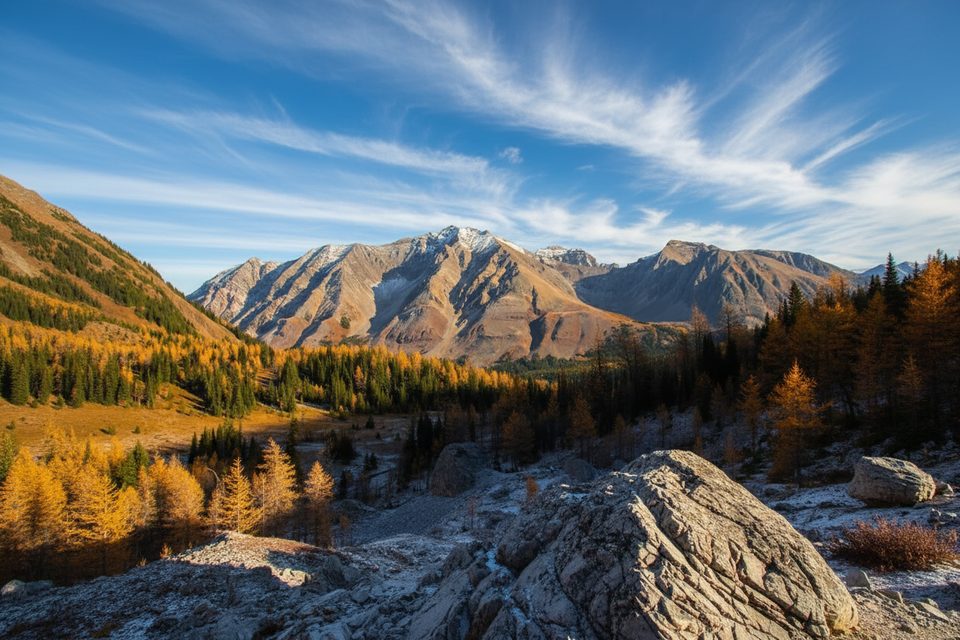
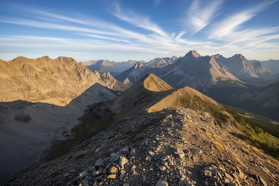
Pocaterra Cirque is an undesignated, well‑trodden larch‑viewing route starting from the Highwood Pass day‑use area in Peter Lougheed Provincial Park. Expect a short half‑day outing through subalpine larches to an open, glacially carved cirque. The hike is roughly 6.9 km total (about 4.3 miles) with ~432 m of elevation gain, out‑and‑back. Some hikers add a steeper extension to Pocaterra Ridge for bigger views, but the cirque itself is the mellow prize.
This is not the signed, designated “Pocaterra” trail used for hiking/biking/skiing farther down‑valley. Alberta Parks distinguishes that groomed system from the undesignated Pocaterra Ridge/Cirque routes. On this social path, expect limited or no signage and occasional braided tread—navigate thoughtfully and leave the meadows pristine.
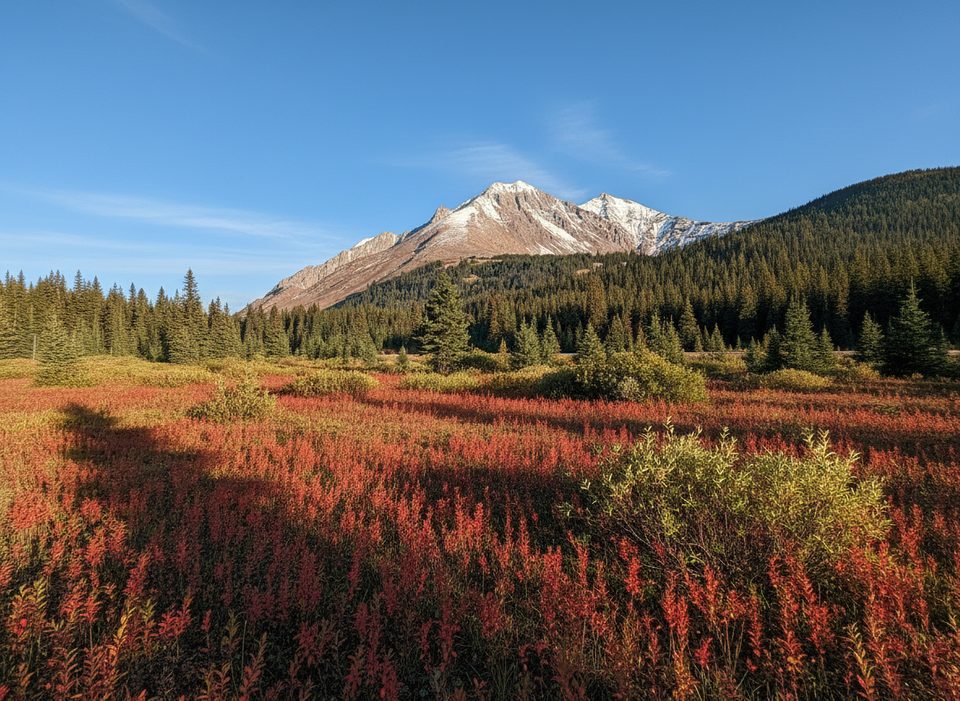
Highwood Pass (2,206 m) is a high‑elevation start, so snow lingers. Vehicle access on Highway 40 typically closes December 1–June 14; as of December 2, 2025, the road is closed. Plan this hike for mid‑June through late October. Peak larch color generally lands mid‑September to early October. Shoulder seasons can bring ice and thin snow—pack traction if nights have been cold.
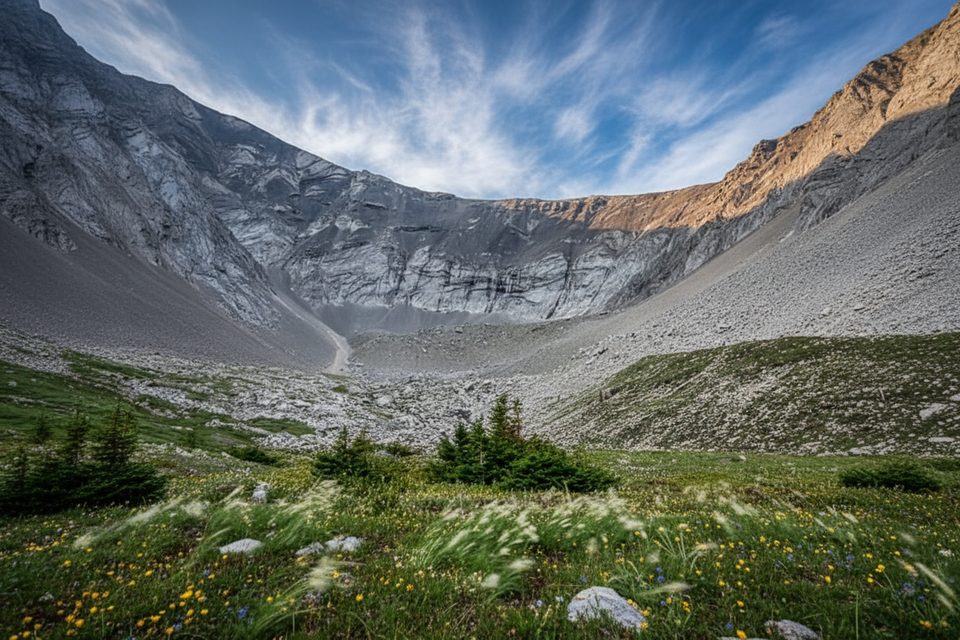
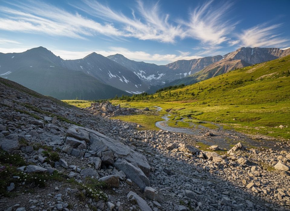
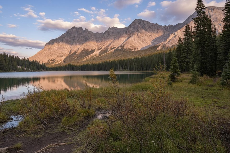
From the Highwood Pass parking lot, a social path winds gently through larch‑filled subalpine forest and opens into the cirque—a broad amphitheater framed by rugged peaks. It’s scenic, short, and satisfying; add the ridge extension only if you want steeper climbing and exposure to alpine weather.
This is alpine country: conditions change fast, and if you venture beyond treeline or onto adjacent slopes, you can enter avalanche terrain. Carry layers and traction in the shoulder season, and check current advisories and trail reports before you go. With the seasonal road closure, consider winter‑friendly routes accessible from the valley floor instead; several snowshoe and multi‑use loops were snowmobile‑packed in late November (e.g., Elk Pass Snowshoe, Chester Lake Snowshoe, Sawmill Loop, Hogarth Lakes, Lower Lake Snowshoe).
You’re walking into a textbook cirque—carved by past glaciations that shaped Kananaskis Country into a landscape of moraines, meltwater channels, and rock‑glacier features seen elsewhere in the park. In fall, subalpine larches steal the show; in summer, look for hardy alpine plants eking out a living between boulders.
Park at the Highwood Pass day‑use lot on Highway 40. A Kananaskis Conservation Pass is required for vehicle access in this area. Dogs are allowed on nearby ridge routes when leashed; follow leash rules here as well, and keep pets out of fragile meadows.
Highwood Pass day‑use parking on Highway 40; closed to vehicle access December 1–June 14.
Undesignated, unmarked social route; expect changing alpine weather, early/late‑season ice and snow, and potential avalanche terrain beyond treeline. Do not confuse with the separate, designated Pocaterra trail system.
Place · 0 mi away
Place · 0.2 mi away
Place · 0.3 mi away
Place · 0.5 mi away
Moderate · 0 mi away
Easy · 0 mi away
Challenging · 0 mi away
Moderate · 2.4 mi away

Parkwolf Tour Guide
