Pros & cons
PROS
- Year‑round, multi‑use access for hiking, biking, skiing, and snowshoeing
- Day‑use parking with pit/vault toilets
- Direct connection toward Elk Lakes Provincial Park for longer trips
CONS
- No potable water or other services listed at the trailhead
- Bikes are not permitted past the provincial border into Elk Lakes Provincial Park
- Early‑season winter conditions can be thin with buried hazards and variable ice
Overview
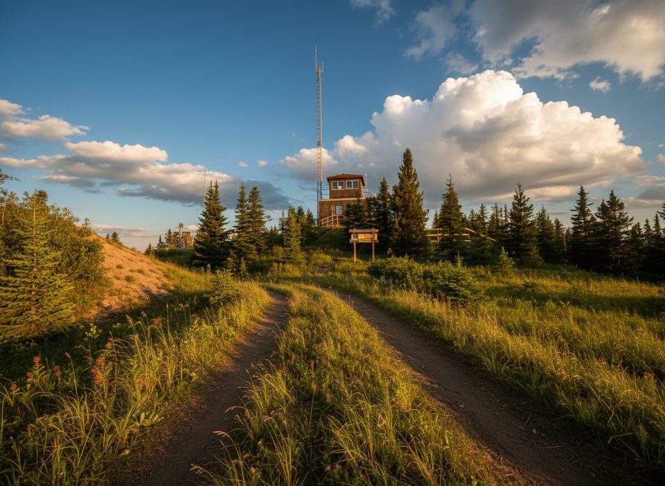
Elk Pass is the classic gateway at the south end of the Kananaskis Lakes network, serving as a year‑round launch point for front‑country hiking, mountain biking/e‑biking (on the Alberta side), cross‑country skiing, and snowshoeing. Families and friends use it for straightforward adventures and as a springboard to deeper terrain toward the Alberta–B.C. border.
Route at a Glance
In summer, the main route follows an old fire road climb for roughly 4.9 km before crossing a meadow to West Elk Pass, about 5.6 km one way with ~210 m (700 ft) of gain. From the pass you can continue to the provincial border and into B.C. toward Elk Lakes Provincial Park and the ACC Elk Lakes Cabin (about 4.3 km beyond the border). Bicycles are allowed on the Alberta side but not inside Elk Lakes Provincial Park.
Winter Use
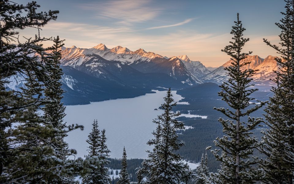
Elk Pass is a cornerstone of the groomed Nordic network. Separate winter alignments exist for the XC ski trail and the snowshoe route—stick to the signed routes and yield appropriately to grooming. As of November 24–26, 2025, the Elk Pass ski and snowshoe trails, plus connectors like Hydroline, Tyrwhitt, and Packers, were snowmobile packed, with typical early‑season cautions: thin coverage, bumps, open water, and variable ice in marshy sections. Steeper areas (like Lookout’s south side) require extra caution.
Wildlife & Setting
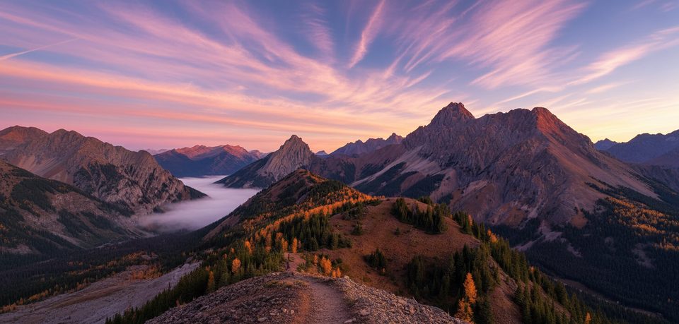
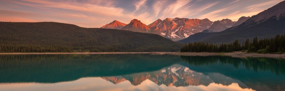
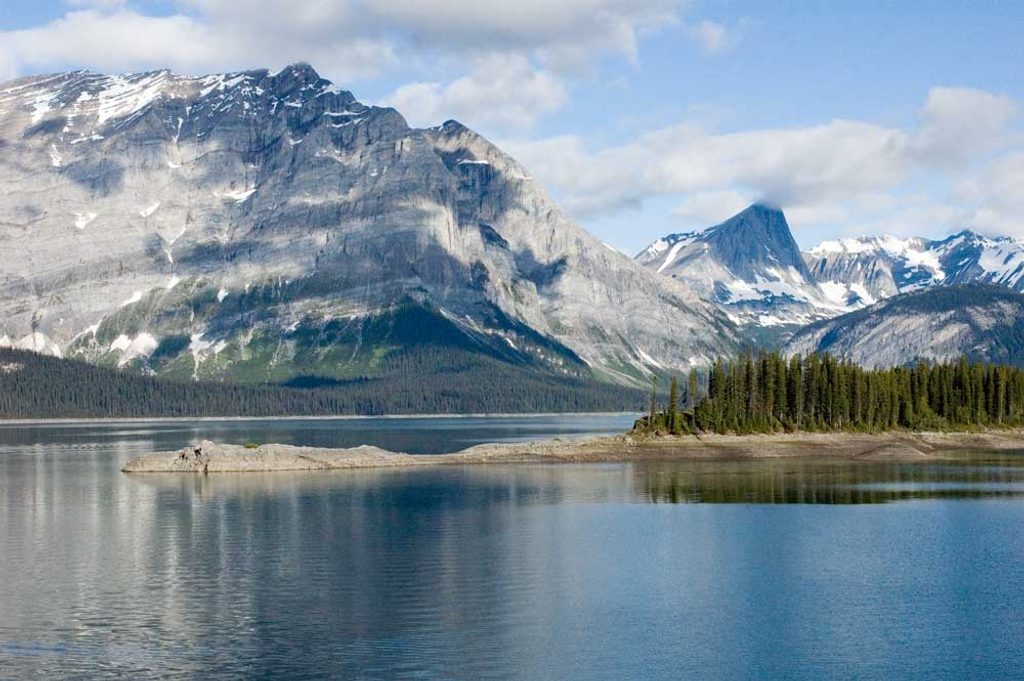
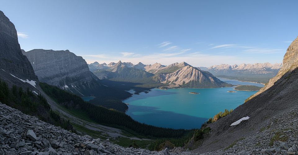
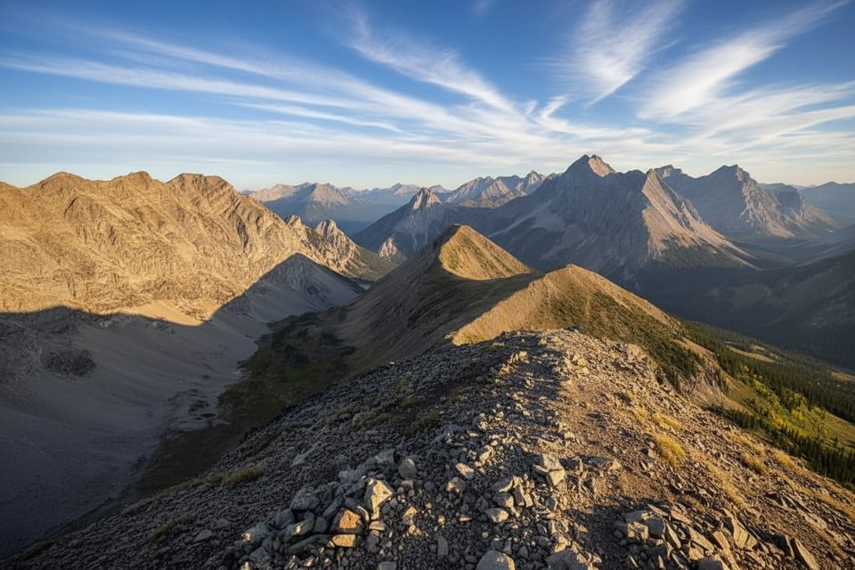
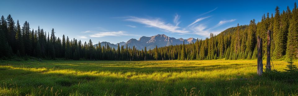
Like the rest of the park’s sub‑alpine and alpine zones, the Elk Pass area supports large mammals including grizzly bears; bear warnings are sometimes in effect. The pass sits on the Continental Divide backdrop of glacier‑capped peaks and sub‑alpine forest, making it a scenic transition between Alberta and B.C.
Amenities & Logistics
This is a designated day‑use trailhead with a parking area and pit/vault toilets. No potable water or supplies are listed—pack in water and pack out all waste. If you’re extending into B.C., remember that bikes and motorized use are not permitted in Elk Lakes Provincial Park, and services are not available there.
Best Time to Visit
- Winter: Go when the ski network reports fresh packing/grooming for the smoothest experience; expect thin coverage early in the season.
- Summer: Choose this trailhead for a mellow climb to West Elk Pass and for bike/e‑bike access on the Alberta side. If continuing into B.C., plan to transition to travel on foot.
- Anytime: Check the Alberta Parks trail report and maps before you head out, especially for seasonal hazards or wildlife advisories.
Where it is
50.5825, -115.0644Tips for Elk Pass
- 01Carry your own water—no potable water is listed at the trailhead.
- 02If biking, turn around at the provincial border; no bikes in Elk Lakes Provincial Park.
- 03In winter, stick to the signed ski trail or the separate snowshoe route and yield to grooming.
- 04Expect early‑season thin snow, buried hazards, and variable ice on creeks and marshes.
- 05Check Alberta Parks’ trail report and maps for current conditions before you go.
Amenities
Near Elk Pass
All places →All trails →
1.1 mi awayBlueberry HillClassic ski climb to a big Kananaskis Lakes panoramaScenic Viewpoint · Picnic Table
2.1 mi awayKananaskis Fire LookoutShort, steep climb to a big‑view ridge‑top fire lookoutScenic Viewpoint · Restroom
2.4 mi awayPocaterra RidgeWindy ridge walk with golden larches and huge alpine panoramasTrailhead · Parking
3.1 mi awayUpper Kananaskis Lake CircuitBig-water loop with waterfalls, rockslide traverse, and bear country.Moderate · 9.7 mi · 4.5 hr
3.1 mi awayRawson LakeSteady forest climb to a cliff-ringed alpine lake under Mt. SarrailModerate · 4.8 mi · 3 hr
3.1 mi awaySarrail Falls TrailQuick lakeside stroll to a photogenic waterfall on Sarrail CreekEasy · 1.4 mi · 48 min
3.1 mi awayUpper Lake Day Use AreaLakeside picnic spot with big views and trail accessParking · Restroom
3.6 mi awayPocaterra RidgeFall larch mecca with airy ridge walking and stout climbsChallenging · 6.1 mi · 6 hr