Overview
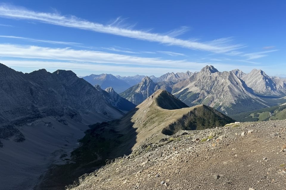
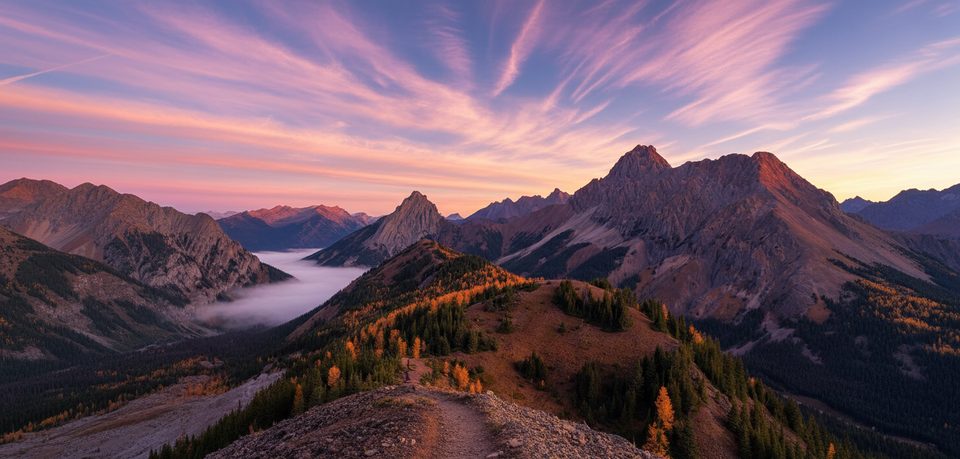
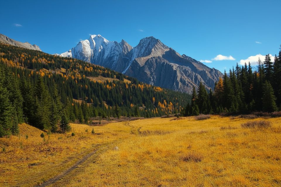
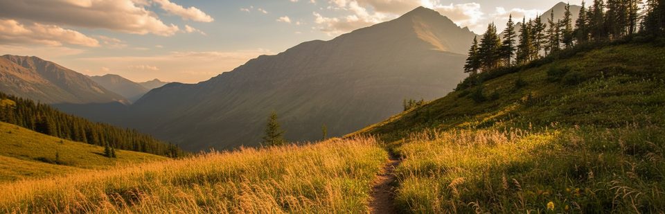
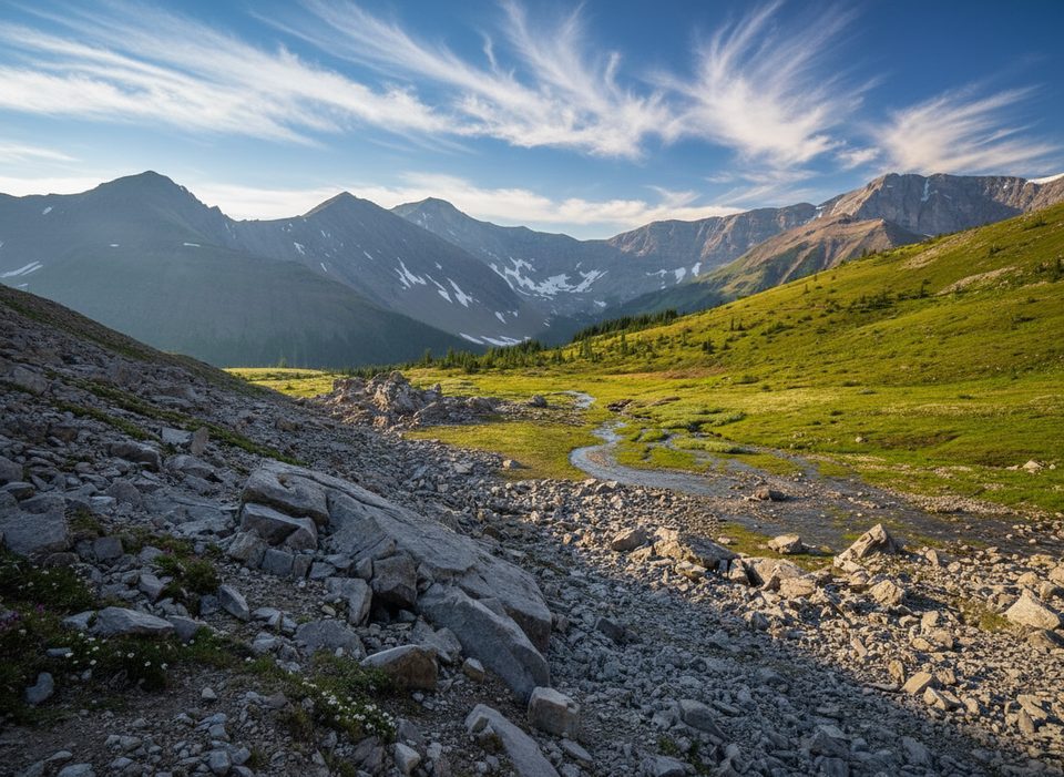
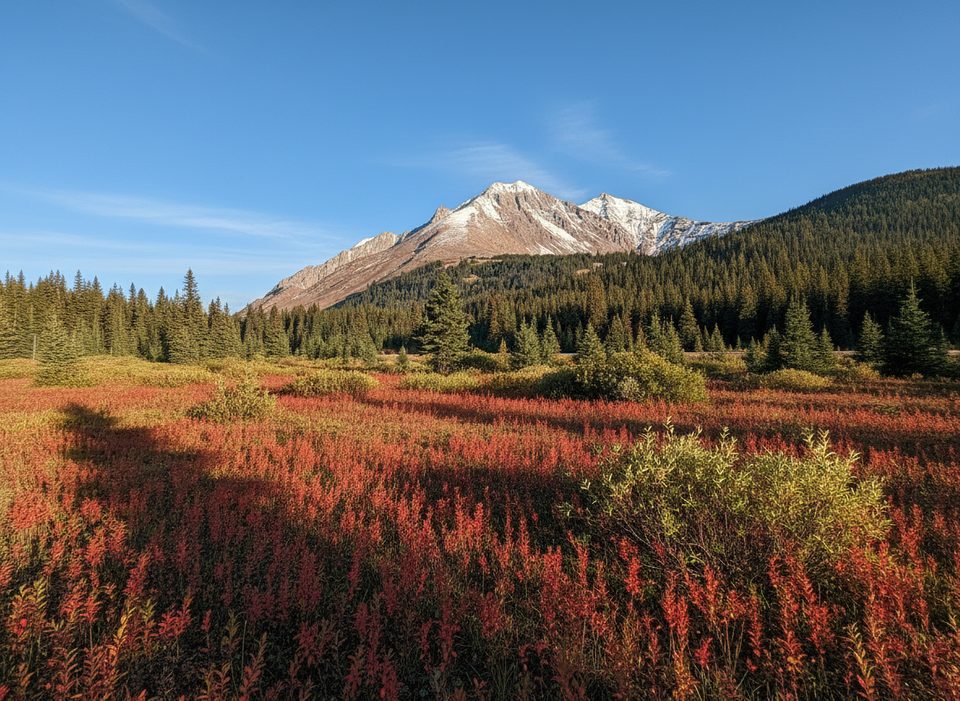
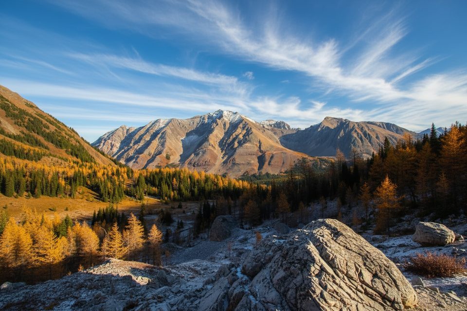
Pocaterra Ridge is the classic Kananaskis ridge walk: long views in every direction and a front‑row seat to golden larches in late September and early October. Expect a sustained initial climb, an airy traverse over multiple bumps, and a steep, sometimes loose descent. It’s rewarding, but it’s not a casual stroll.
Route at a Glance
- Distance and gain: about 10–11 km point‑to‑point with roughly 700–750 m of elevation gain. Most hikers take 4–7 hours depending on conditions and pace.
- Direction: Start south→north from Highwood Pass Day Use and finish at Little Highwood Pass to get the big climb done first and enjoy the ridge with views ahead. Two vehicles are ideal; otherwise, stash a bike at the finish, do an out‑and‑back to taste, or reverse the route.
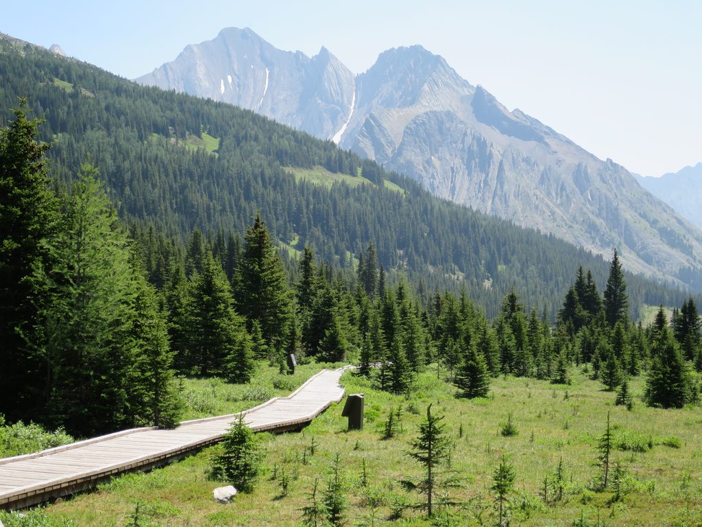
- Terrain: well‑worn in places, muddy or slippery when wet, and largely exposed along the crest. The north end can be confusing—download an offline map and pay attention near the finish.
Season & Access
- Larch season peaks in late September/early October; expect ice or early snow—microspikes help.
- Highway 40 has a seasonal closure to vehicles from December 1 to mid‑June. As of December 1, 2025, Highwood Pass vehicle access is closed for the season.
- A Kananaskis Conservation Pass is required to park in this area. There are no shuttle services here.
What You’ll See
- Larches galore in fall plus a string of panoramic high points across the ridge.
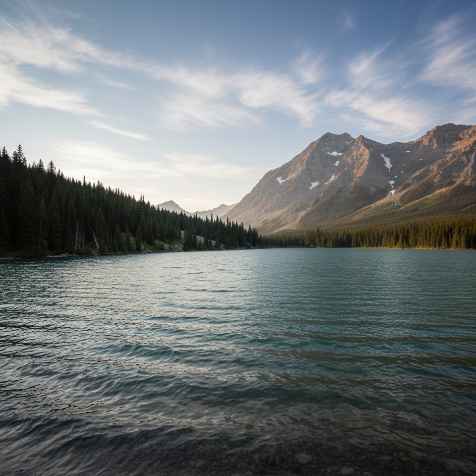
- Early on (starting south), a small pond can give mirror‑calm reflections on a still day.
Wildlife & Safety
This is grizzly country. Carry bear spray in a quick‑draw holster, make noise, and hike in a group when you can. There’s no cell coverage—leave a trip plan. Weather flips quickly at elevation; bring wind and warmth layers, sun protection, plenty of water, sturdy boots, and consider trekking poles for the steep descent.
Logistics That Matter
- Parking: small lots at Highwood Pass (south) and Little Highwood Pass (north) fill early, especially during larch season. Overflow is only along Highway 40 if you’re fully off the pavement—tickets are common when vehicles stick into the lane.
- Facilities: services are minimal; don’t count on toilets at the ridge trailheads.
- Navigation nugget: descending to Little Highwood Pass, the path continues past logs over a stream—watch for the continuation on the far side.
Best Time to Visit
Mid‑week mornings in late September to early October are prime for larches and thinner crowds. On weekends, arrive very early. Outside larch season, aim for clear, calm days—the ridge is exposed and wind is typical. If it’s still and bright, pause by the early‑route pond for reflection photos.