Pros & cons
PROS
- Heated Pocaterra Warming Hut in winter with tables and flush toilets
- Tap water, cook shelter, picnic tables and food‑storage lockers
- Direct access to a groomed Nordic ski network and year‑round trails
CONS
- Busy on winter weekends
- Limited cell service—sort passes and maps before you arrive
- Warming Hut operates winter only and on set hours
Overview
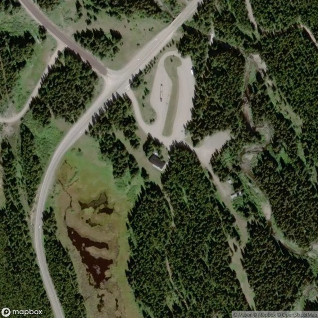
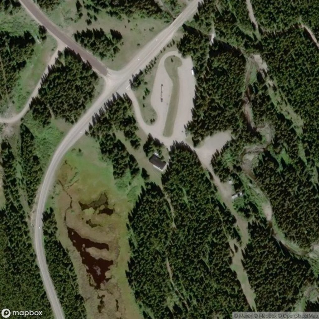
Pocaterra Day Use is the park’s classic staging area: easy parking, real amenities, and quick access to a web of groomed Nordic ski trails in winter and casual front‑country routes the rest of the year. It sits just north of the Discovery & Information Centre and works equally well for a picnic basecamp or a full ski day.
Facilities
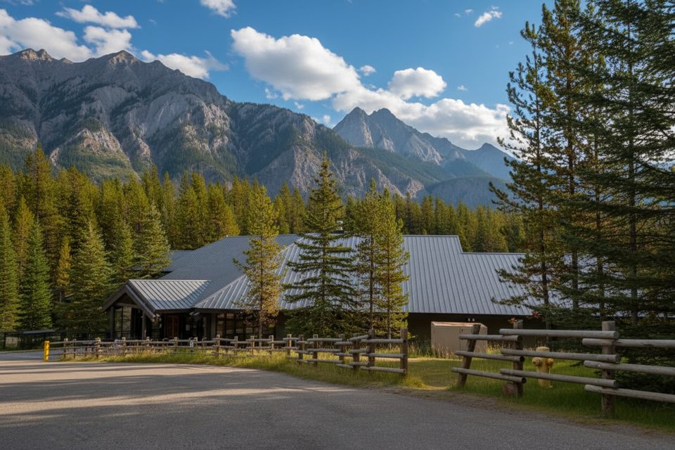
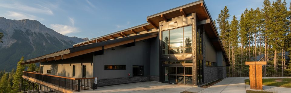
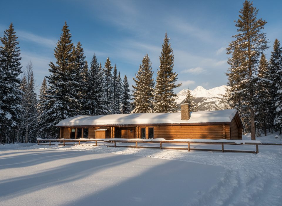
You get more than a pit toilet here. Expect flush toilets, a tap water supply, a cook shelter, two secure food‑storage lockers, plenty of picnic tables, and the Pocaterra Warming Hut (open in winter only). The setup is built for comfort between laps or for lingering over lunch.
Winter Hub for XC Skiing
This is the main launch point for Peter Lougheed’s groomed Nordic network—think Pocaterra, Lynx, Rolly Road, Braille and more fanning out from the lot. Start early, check current grooming/conditions, and use the warm hut to regroup, dry gloves, and refuel between loops.
Non‑Winter Use
Outside ski season, this is a handy base for front‑country hiking, biking (e‑bikes permitted), and picnicking. Permitted activities can change, so if you’re unsure, confirm with Alberta Parks (1‑877‑537‑2757).
Common Mix‑Up: This Is Not Pocaterra Ridge
People often arrive here aiming for the famous Pocaterra Ridge hike. That ridge is accessed from Highwood Pass/Little Highwood Pass on Highway 40, not from this lot—and Highway 40 to Highwood Pass closes roughly December 1–June 15 each year. Come to Pocaterra Day Use for the Nordic network and day‑use comforts; go to Highwood Pass for the ridge and fall larch show.
Wildlife & Safety
You’re in grizzly country. Make noise on trails, carry bear spray, and travel in a group when you can. Cell service is spotty—leave a plan and bring the essentials.
Maps & Logistics
Download the geo‑referenced Spray Valley & Peter Lougheed map and the PLPP/Kananaskis Lakes ski trail maps before you lose reception. A Kananaskis Conservation Pass is required; buy it online ahead of time.
Best Time to Visit
- Winter: Weekends get busy—arrive before mid‑morning for easier parking and smoother trailheads. The Warming Hut runs roughly 8:30 am–8:00 pm in winter.
- Weekdays: Quieter and ideal for racking up kilometers on freshly groomed tracks.
- Shoulder seasons: Conditions swing quickly; traction and layers may be wise. Summer is mellow—great for picnics and a low‑stress trail start.
Where it is
50.6972, -115.1138Tips for Pocaterra Day Use
- 01Arrive early on winter weekends; the lot fills with skiers.
- 02The Warming Hut operates winter‑only, typically 8:30 am–8:00 pm.
- 03Download the geo‑referenced park map before you lose service.
- 04Buy your Kananaskis Conservation Pass online ahead of time.
- 05If you’re aiming for Pocaterra Ridge, drive to Highwood Pass instead.
Amenities
Near Pocaterra Day Use
All places →All trails →
0 mi awayPocaterra Warming HutCozy winter hut with heat, flush washrooms and XC trailheadsTrailhead · Parking
0 mi awayTyrwhitt MeadowsWide subalpine glades with big Divide views and winter glideScenic Viewpoint
0.8 mi awayPeter Lougheed Park Discovery and Information CentreTrail intel, exhibits, and dependable Wi‑Fi at the park’s hubVisitor Center · Restroom
0.9 mi awayCanyon CampgroundFCFS basecamp near Lower Kananaskis Lake with big, quiet sitesCampground · Restroom
2.2 mi awayMarl Lake Interpretive TrailShort, flat loop to Marl Lake with easy nature signs and views.Easy · 1.9 mi · 1 hr
2.3 mi awayWilliam Watson Lodge Interpretive TrailShort, accessible stroll to Lower Kananaskis Lake with interpretive stopsEasy · 0.3 mi · 18 min
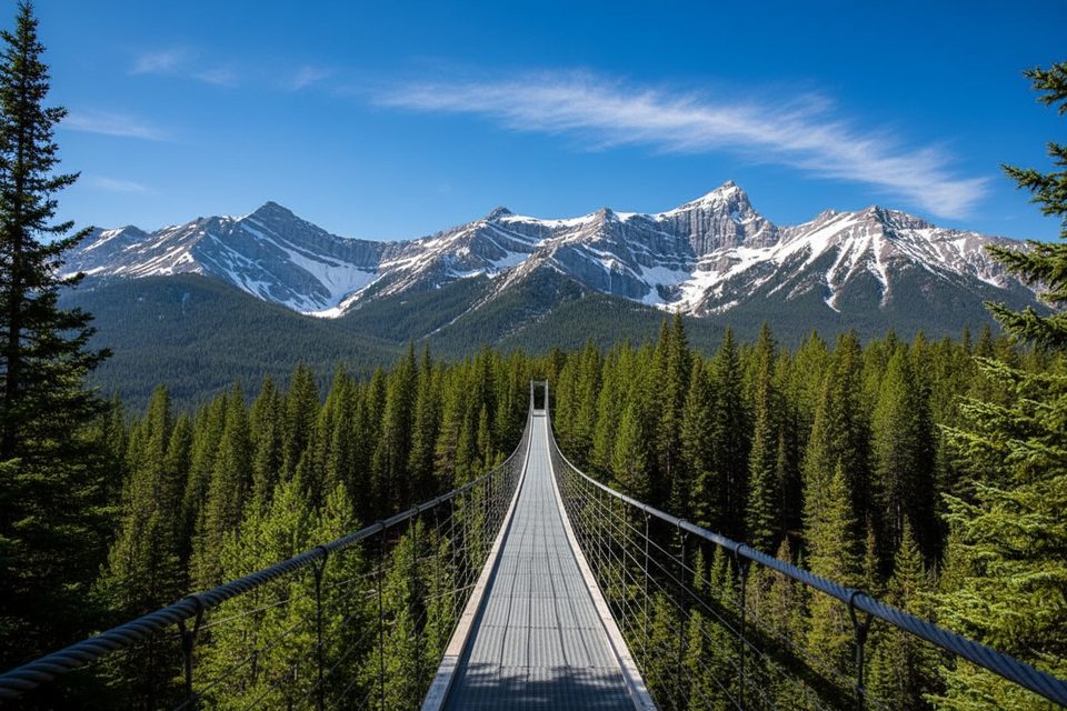
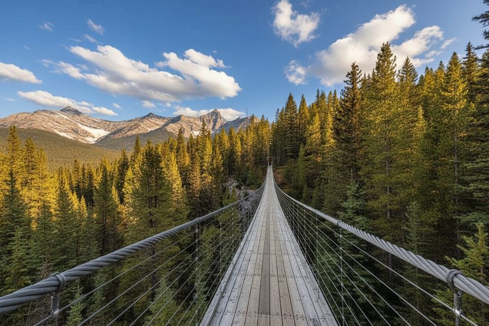
2.6 mi awayBlackshale Suspension Bridge TrailQuick, kid friendly loop to a swaying 240 ft forest bridge.Easy · 0.6 mi · 30 min
3.7 mi awayHigh Rockies Trail (PLPP Segment)Southern High Rockies sampler with bridges, lakes, and quiet forestModerate · 10.6 mi · 6 hr