Best time to go
The posted operating season is May 10 through September 2. This is a seasonal facility, so check current access outside that window before counting on the day-use facilities being available.

Sight · Peter Lougheed Provincial Park
A creekside pause or canyon-trail start with mountain views.
Map
Plan your stop

The highest, rockiest slopes around here are a summer buffet for grizzly bears.
Peter Lougheed Tour Guide
Parkwolf is a GPS audio tour guide for Peter Lougheed Provincial Park. As you drive, it chimes in with what’s ahead: hidden gems, upcoming stops, history, geology, and wildlife, right through your car’s speakers.
See the Peter Lougheed audio tourRecorded for this place
King Creek: A Pause or a Canyon Walk“King Creek Day Use Area is ahead, a modest creekside stop between King Creek Ridge and Mount Wintour.”
Plays as you drive up to King Creek Day Use Area in the Parkwolf Peter Lougheed Tour Guide.
More stories near here in the app
“Fantastic app with many points of information… It’s great to just turn on while you’re driving and it gives you an audio tour of the national Park. We love it!!!!”


Guide
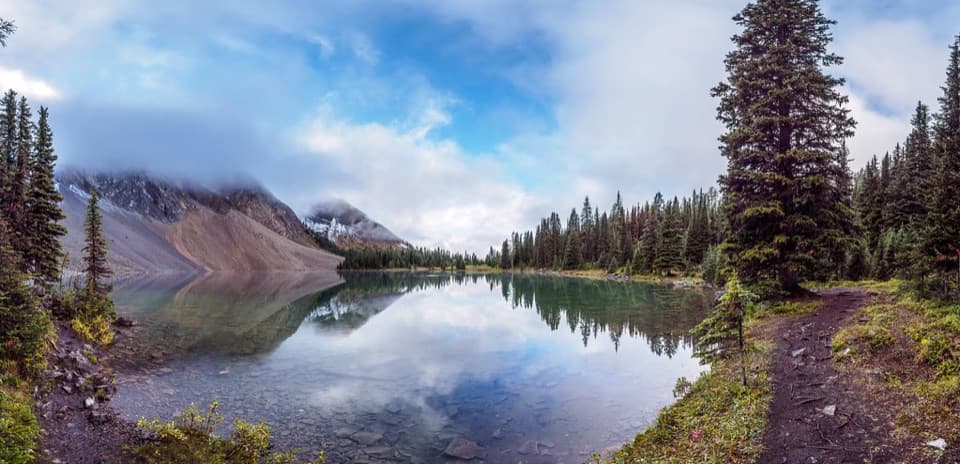
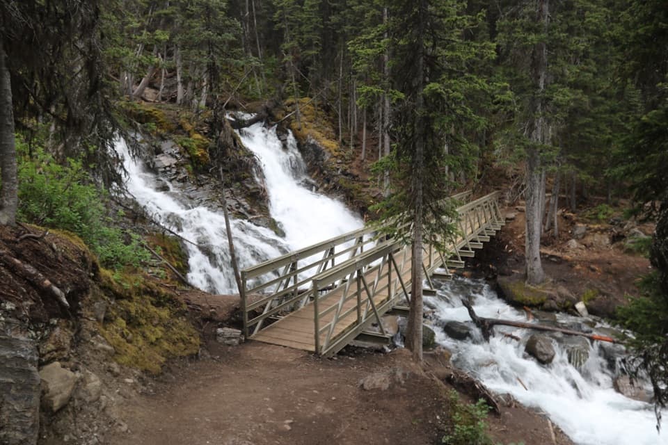
King Creek Day Use Area is a roadside stop in Peter Lougheed Provincial Park between King Creek Ridge and Mount Wintour. Come for the creek and mountain views, or use its parking lot as the start of the King Creek Canyon Trail. It is a modest pause on a drive unless you are setting out on the trail.
Wildlife
 132 sightingsGrizzly BearMost seen around 8 PMSighting map
 17 sightingsCanada LynxMost seen around 8 PMSighting map
 30 sightingsBlack BearMost seen around 6 AMSighting map
 69 sightingsMooseMost seen around 5 PMSighting map
 176 sightingsBighorn SheepMost seen around 6 PMSighting map
 19 sightingsBald EagleMost seen around 8 AMSighting map
Sighting maps show where each species has been reported across Peter Lougheed. Wildlife moves, so no sighting is guaranteed.
Keep exploring
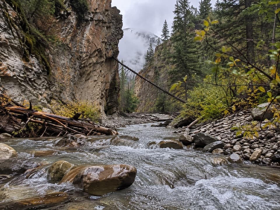 ModerateKing Creek Canyon Trail3.2 km · 1.5 hr · At the trailheadRocky creek crossings in a short, high-walled canyon
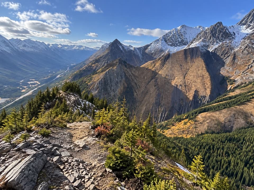 ChallengingKing Creek Ridge Trail7.1 km · 4.5 hr · 0.1 km awayA steep ridge climb opens wide views over the Kananaskis Lakes.
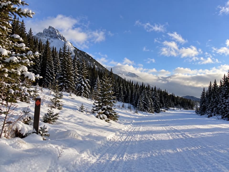 ModerateWintour Snowshoe Trail10.2 km · 3 hr · 0.2 km awaySnowshoe a 5.1 km winter road corridor with mountain views.
 ChallengingSouth Lawson Peak Trail7.8 km · 5.5 hr · 3.2 km awayA steep forest climb opens onto a rocky ridge above two lakes.
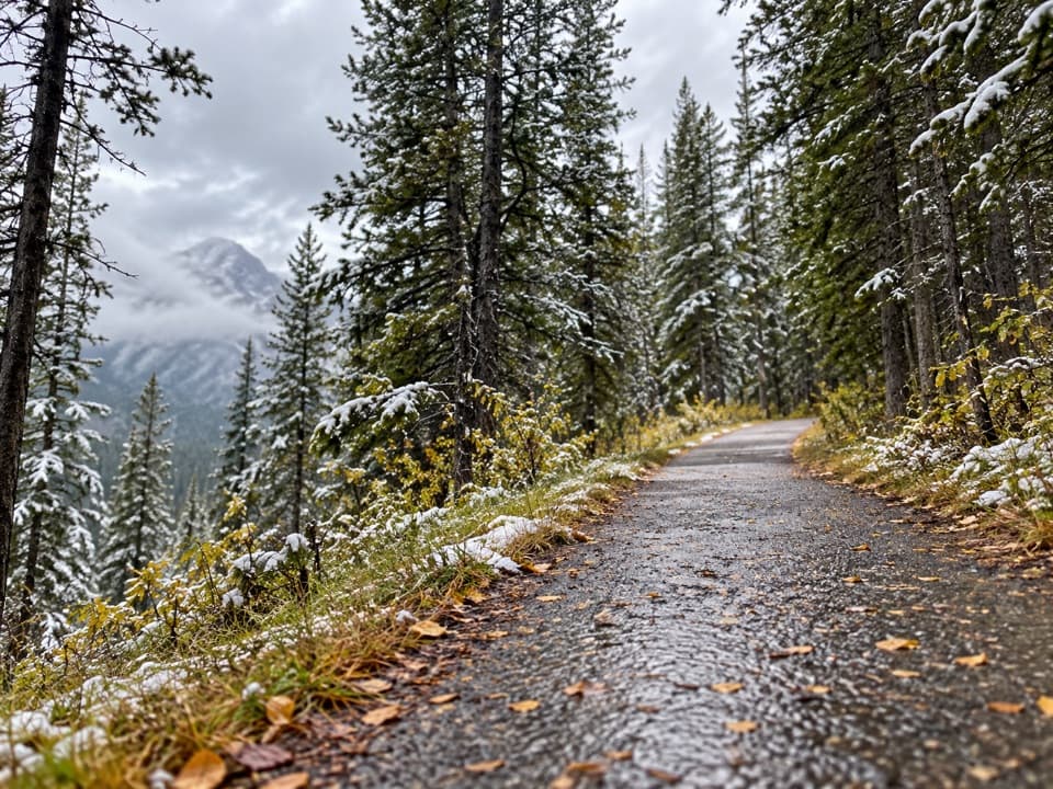 ModerateHigh Rockies Trail (Peter Lougheed Section)16.8 km · 6 hr · 3.4 km awayA forested High Rockies traverse from Lower Kananaskis Lake to Elk Pass.
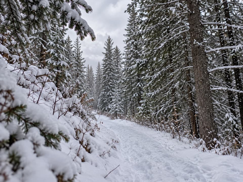 EasyCanyon Snowshoe Trail1.7 km · 45 min · 3.5 km awayA low-climb link to Lower Lake and Penstock winter trails.
 ModerateLower Lake Trail7 km · 1.8 hr · 3.7 km awayA shoreline walk with Spray Range views across Lower Kananaskis Lake.
 EasyPenstock Loop Snowshoe Trail4.5 km · 1.8 hr · 3.7 km awayA winter loop with waterworks history and wide lake views.
 Sight · 2.3 km awayPocaterra Warming HutA heated hut beside several cross-country ski trail starts.
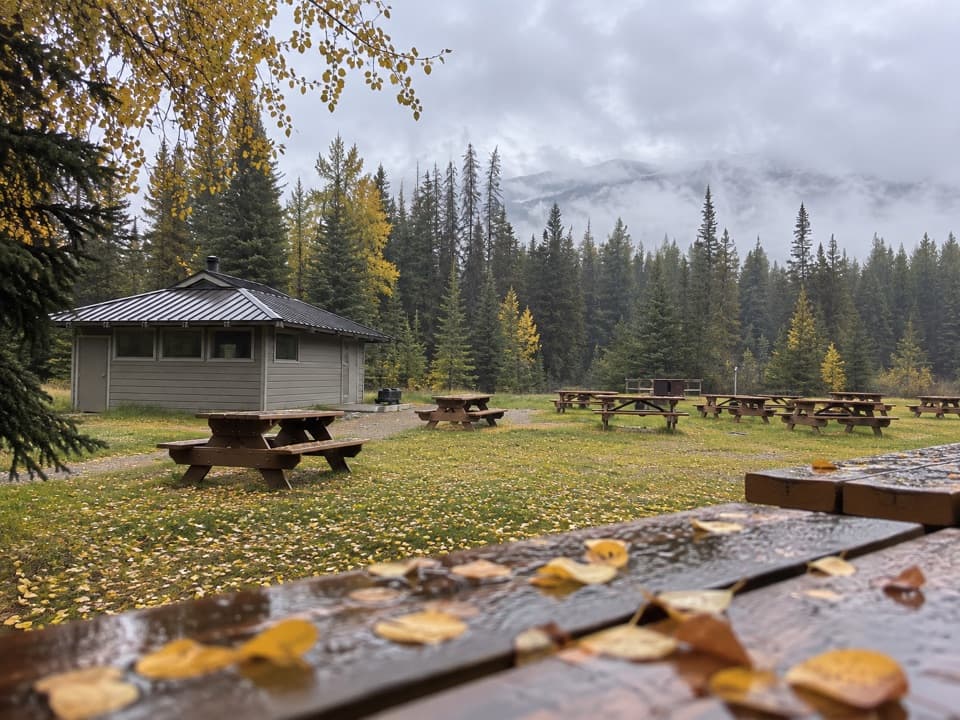 Campground · 3.2 km awayPocaterra Walk-in Tenting Group CampgroundGroup camping with a shelter and room for 20 units
 Campground · 3.5 km awayCanyon CampgroundA first-come, 50-site base for lake-area hikes and paved cycling.
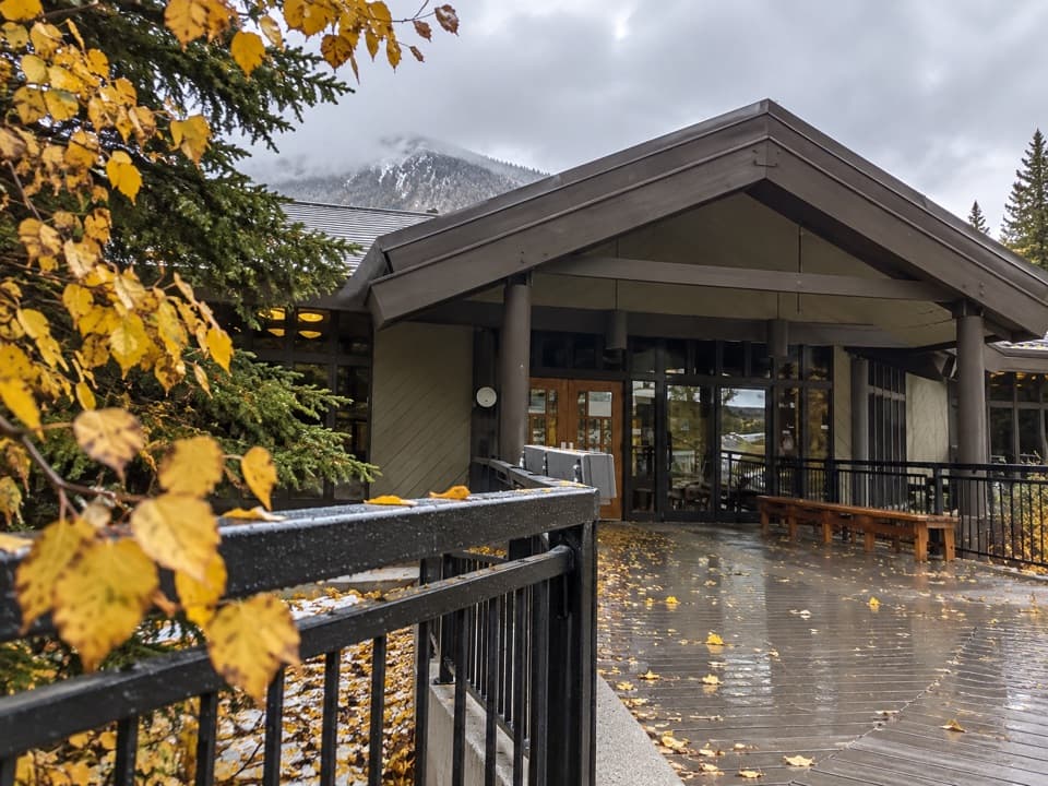 Visitor center · 3.5 km awayPeter Lougheed Park Discovery & Information CentreA compact wildlife museum with a chance of meadow bears.
 Picnic area · 3.7 km awayCanyon Day Use AreaLake access and picnic tables under a rugged mountain wall.Picnic area · 3.9 km awayPeninsula Day Use AreaA lakeside picnic stop with a short Lower Kananaskis Lake viewpoint walk.
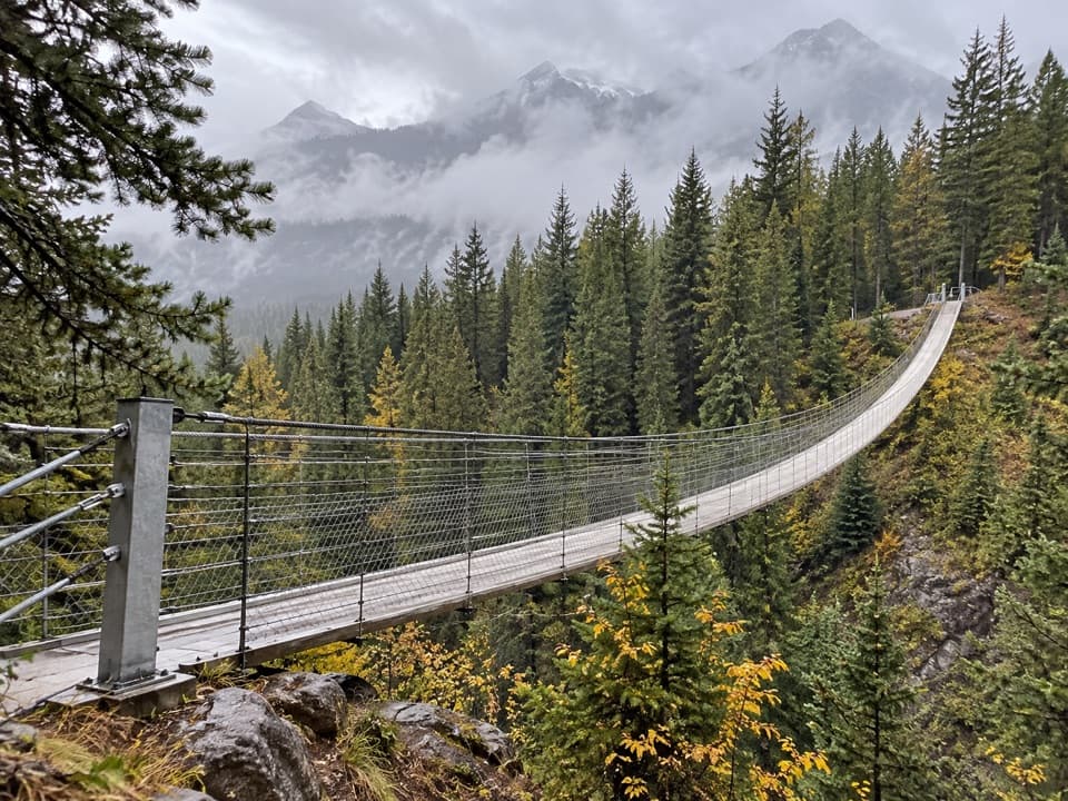 Sight · 5.1 km awayBlackshale Creek Suspension BridgeA 73-metre span makes a creek crossing the payoff.
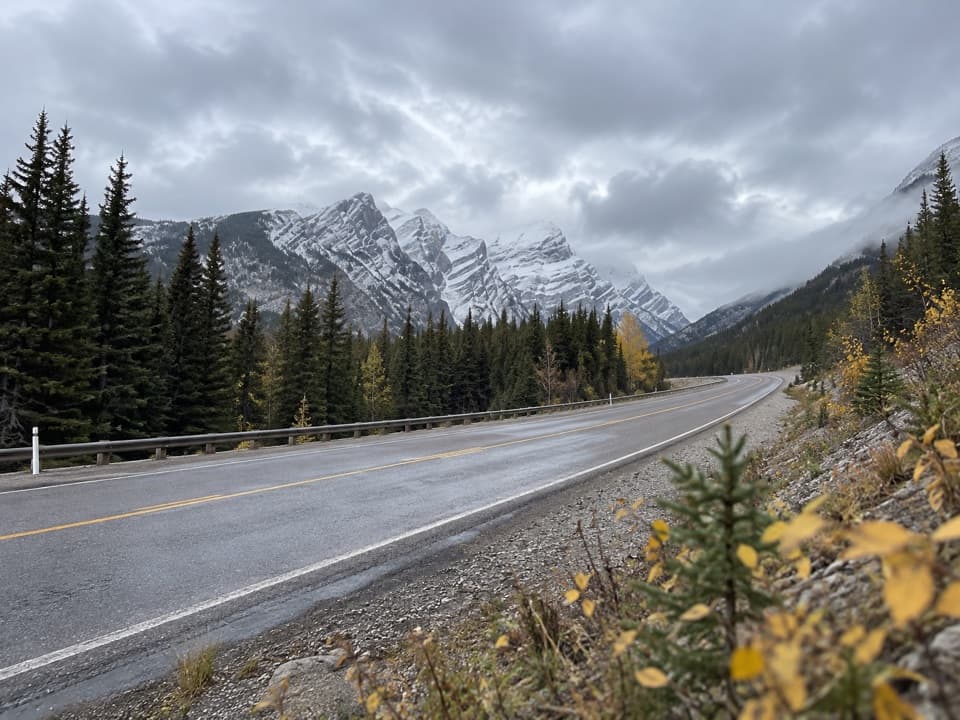 Sight · 5.3 km awayGrizzly Creek Day Use AreaA quick pull-off for a wide Kananaskis Valley view.
Parkwolf’s Peter Lougheed ranking

The audio tour guide for the drive, plus offline maps, trails, and wildlife heatmaps for when the signal drops.