
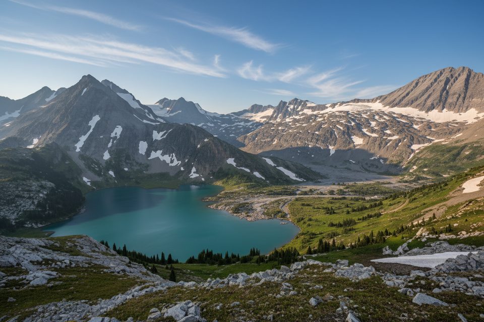
Place · 3.5 mi away
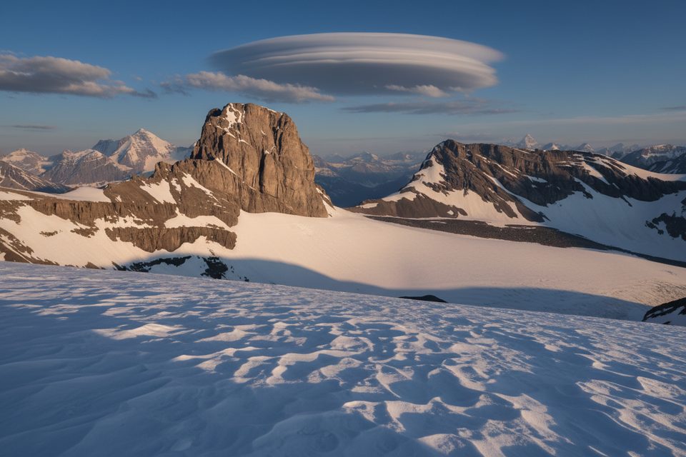
Mount Joffre (3,450 m / 11,319 ft) is the park’s big, glaciated prize—often called approachable for an 11,000‑footer, but still full‑value mountaineering. Expect crevasses, steep snow, and real commitment rather than a casual hike.
Most parties start from the Upper Kananaskis/Interlakes area, hike past Hidden Lake, then tackle the steep headwall to Aster Lake. From there, the climb typically crosses the Mangin Glacier and finishes by either the north face (steep snow/ice) or the more exposed, looser northeast ridge. Trip reports put the round‑trip at roughly 36–40 km with about 2,100–2,530 m of total gain, commonly done over 2–3 days with Aster Lake as base.
Trailhead parking is in the Upper Kananaskis/Interlakes day‑use lots. Expect vault/pit toilets at these frontcountry areas, then no facilities beyond. A Kananaskis Conservation Pass is required to park in Kananaskis and the Bow Valley. Overnight parking is typical for backcountry trips here—confirm on‑site signage before leaving your vehicle.
Aster Lake is the usual backcountry base and is a designated campground that must be reserved through Alberta Parks. Random camping isn’t the norm in this park—follow posted food storage and waste rules.
This is glaciated terrain. Parties should be prepared for crevasses on the Mangin Glacier, steep snow on the face, loose sections on the ridge, and seasonal rockfall. Early‑season snow can be unsupportive lower down; firm morning conditions are your friend, and many teams aim to be off the face by late morning as the sun warms it. Always check current park advisories and avalanche conditions before committing.
If you’re a competent alpine team looking for a big objective, Joffre delivers a satisfying mix of scenery and technical decision‑making. If you’re after an easy summit or a viewpoint reached in an afternoon, this one’s not it—the approach is long and the hazards are real.
Mid to late summer offers the most practical window for most parties: the approach is more snow‑free and glacier bridges are better established. Start pre‑dawn for firm snow, safer travel, and cleaner photography light. Shoulder seasons add avalanche and thin‑bridge hazards; plan accordingly.
Place · 3.5 mi away
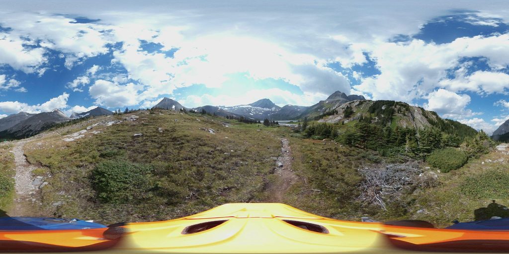
Place · 3.6 mi away
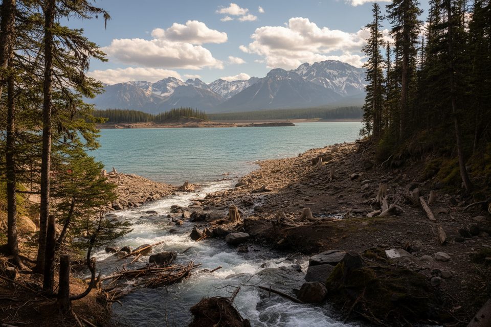
Place · 4.1 mi away
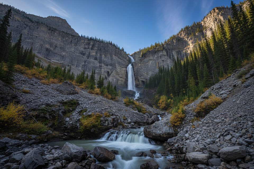
Place · 4.3 mi away
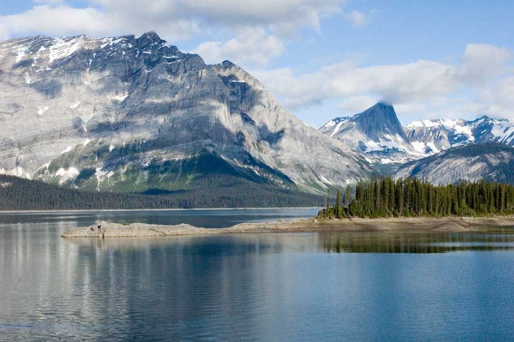
Moderate · 6.9 mi away
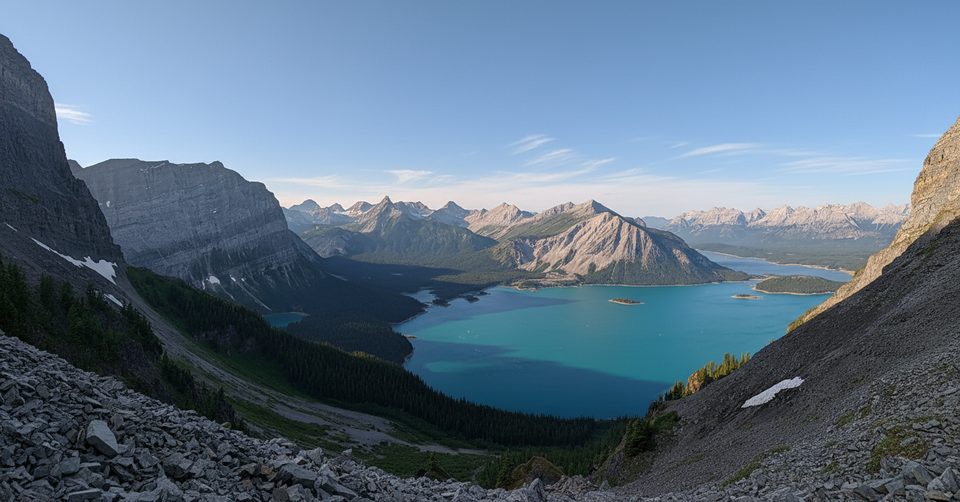
Moderate · 6.9 mi away
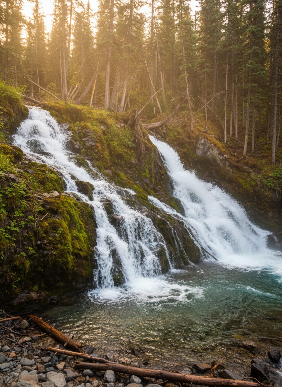
Easy · 6.9 mi away
Moderate · 7.4 mi away

Parkwolf Tour Guide
