Marl Lake Interpretive Trail in Peter Lougheed Provincial Park

Peter Lougheed Provincial Park, AB

Marl Lake Interpretive Trail

A short forest-and-wetland loop to Marl Lake’s mountain-framed shore.

Photo: Wikimedia Commons
Length
3.1km
Time
1hr
Elev. change
19m
Difficulty
Moderate
  • Loop
  • Dogs allowed
  • High point 1,727 m
  • #30 of 66 in Peter Lougheed

Hear the audio tour

Elkwood Amphitheatre: The Walk to Marl Lake

Overview

About Marl Lake Interpretive Trail

Why go

  • A lake platform and mountain view give the short walk a clear payoff.
  • Interpretive signs and benches make the forest-and-wetland loop worth slowing down for.

Heads up

  • Public parking adds 1.6 km of access walking beyond the signed loop.
  • The turn from the paved path can be confusing if you miss the Marl Lake sign.

Map & elevation

The route

Loading the Peter Lougheed map
Full map
Elevation1,708–1,727 m
TrailheadElkwood Amphitheatre Parking Lot50.66645, -115.11680
Keep this map with you offline in the Parkwolf app

Plan your hike

Before you go

Parking

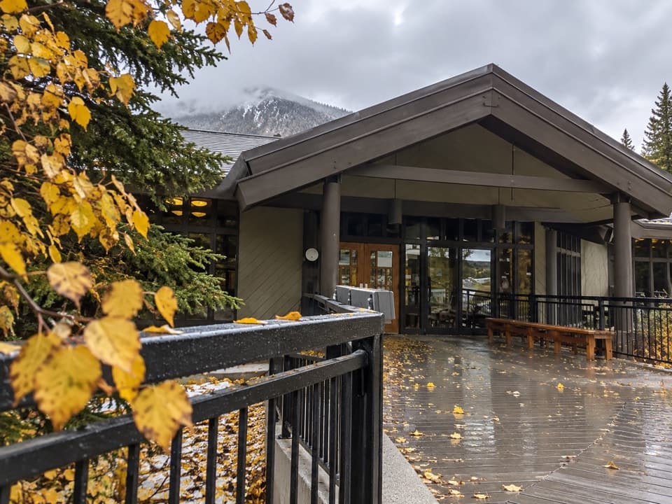
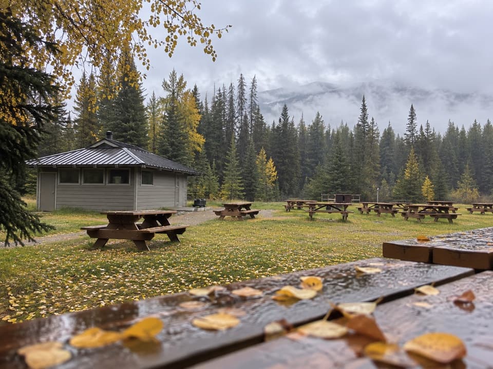
Use the Elkwood Amphitheatre parking lot for public access. The signed loop entrance is about 0.8 km away through the campground, and the access walk is required again on the way back. Campground access is also listed, but do not park there unless you are camping.

Safety

The trail is summer use only. Grades are steep enough that wheelchair users should have a companion; the stairs at the lake can be avoided. The group limit is 35; organized outings should check permit rules.

4 active Peter Lougheed alerts

  • ClosureTrail closures and Three Isle detourThree trail sections remain closed; stay out of closed areas and follow the signed Three Isle detour to reach the open backcountry campgrounds.Official details
  • CautionBear activity near Elpoca and ValleyviewFrequent bear activity has been noted along Valleyview Road from Elpoca Day Use Area south to Highway 40, near Little Highwood Pass and Valleyview Day Use Areas; use bear precautions.Official details
See all 4 alerts
A park ranger sits on a dash-mounted phone, talking, as Parkwolf’s Tour Guide plays “Army Cutworm Moths: A Grizzly Bear Buffet” on Grand Loop Road below Dunraven Pass in Yellowstone
Parkwolf Tour GuideThe highest, rockiest slopes around here are a summer buffet for grizzly bears.

Peter Lougheed Tour Guide

Your drive to Marl Lake Interpretive Trail, narrated.

Parkwolf is a GPS audio tour guide for Peter Lougheed Provincial Park. As you drive, it chimes in with what’s ahead: hidden gems, upcoming stops, history, geology, and wildlife, right through your car’s speakers.

See the Peter Lougheed audio tour

Recorded for this trailhead

Elkwood Amphitheatre: The Walk to Marl Lake
0:00 / 0:24
“You're coming up on Elkwood Amphitheatre, the public starting point for the summer walk to Marl Lake.”

Plays as you drive up to this trailhead in the Parkwolf Peter Lougheed Tour Guide.

More stories near here in the app

  • William Watson Lodge: An Accessible Retreat
  • From Beaver Pond to Meadow
  • Discovery Centre: Exhibits and Meadow Bears
  • The Songbird That Dives
  • 41 audio storiesacross Peter Lougheed’s roads, triggered by GPS as you drive
  • Wildlife heatmapsfor Grizzly Bear, Canada Lynx, Black Bear, and 13 more
  • Works offlinemaps, 66 trails, 41 places, and audio download before you lose signal
  • CarPlay readysimple controls built for the drive
★★★★★
“Fantastic app with many points of information… It’s great to just turn on while you’re driving and it gives you an audio tour of the national Park. We love it!!!!”
JMJamesApp Store review
Download Parkwolf on the App StoreGet Parkwolf on Google Play

4.7 from 8,600+ ratings

Trail guide

Hiking Marl Lake Interpretive Trail

The loop and the full outingMarl Lake Interpretive Trail is a 1.5-kilometre loop through forest and wetland to Marl Lake.

Marl Lake Interpretive Trail is a 1.5-kilometre loop through forest and wetland to Marl Lake. From the public Elkwood Amphitheatre parking lot, the access walk adds 0.8 km each way, making the full round trip 3.1 km. Allow about an hour so you have time to stop at the signs and the lake platform. It is a good short nature walk when you want a lake view without committing to a summit hike.

Finding the loopThe route from the parking lot can feel confusing at first.

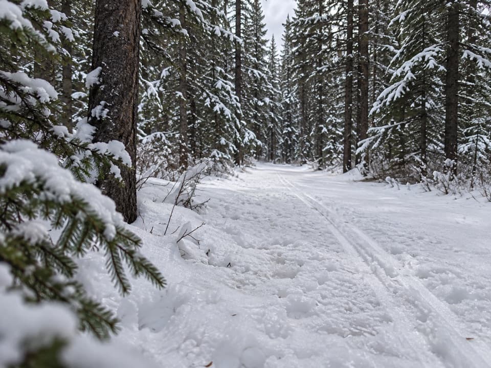
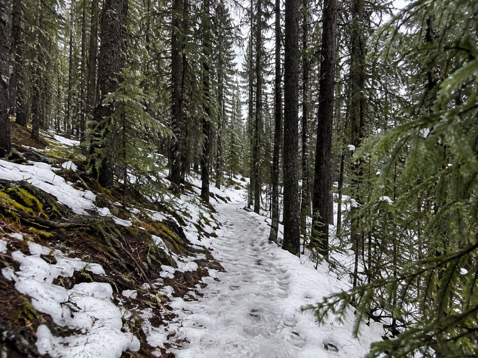
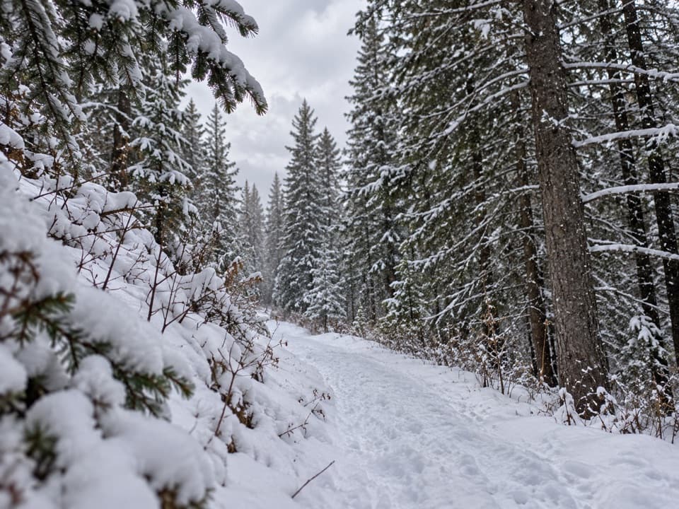
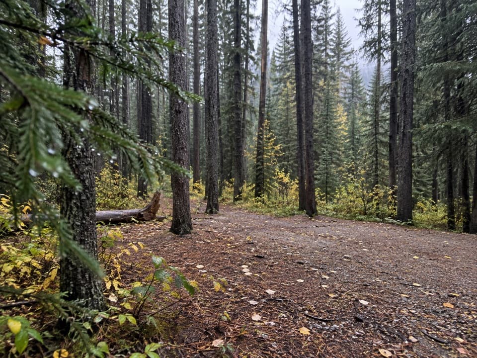
The route from the parking lot can feel confusing at first. Follow the wide paved bike path past the amphitheatre, then take the signed Marl Lake turn onto packed gravel. Cross a campground road, re-enter the trees, and keep straight at the next junction until you reach the Marl Lake Loop sign. The first stretch is shared with bikes, so stay to the right; bikes do not continue on the interpretive loop.

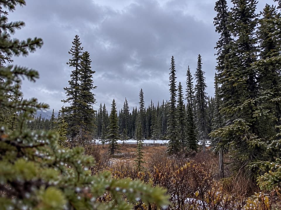
Forest, wetland, and signsThe loop opens early at a small pond clearing, then winds through trees and wetland.

The loop opens early at a small pond clearing, then winds through trees and wetland. Interpretive signs explain the area, and occasional benches give you a place to pause. At the next junction, take the left branch toward the lake.

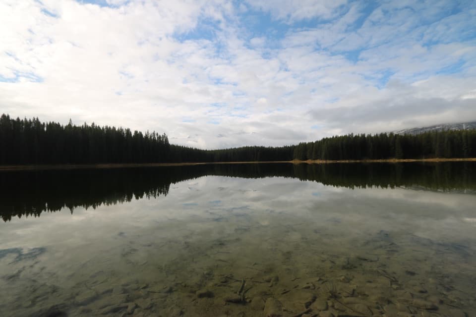
At Marl LakeAfter the eighth sign, a bench opens a view across Marl Lake to the surrounding mountains.

After the eighth sign, a bench opens a view across Marl Lake to the surrounding mountains. A platform sits beside the water, and stairs lead closer to the shoreline but can be avoided. This is the walk’s best pause and photo stop: frame the lake with the mountain rim and forest beyond it.

Access and effortThe signed loop is the shorter 1.

The signed loop is the shorter 1.5-kilometre piece; use the Amphitheatre lot if you are not camping, and include the access walk in your plans. The trail is listed for summer use only. It is short, but grades are steep enough that wheelchair users should have a companion. Dogs are allowed on leash, and groups are limited to 35.

Wildlife

Wildlife in Peter Lougheed

All Peter Lougheed wildlife maps

Sighting maps show where each species has been reported across Peter Lougheed. Wildlife moves, so no sighting is guaranteed.

Keep exploring

Near Marl Lake Interpretive Trail

See it all on the map

Trails that start nearby

Places near the trailhead

Parkwolf’s Peter Lougheed ranking

Top-rated trails in Peter Lougheed

All 66 trails
  1. 1Rawson Lake TrailModerate · 7.8 km
  2. 2Ptarmigan Cirque Interpretive TrailModerate · 4.5 km
  3. 3Burstall Pass TrailChallenging · 14.8 km
  4. 4Chester Lake TrailModerate · 9.2 km
  5. 5Upper Kananaskis Lake LoopModerate · 15.7 km
  6. 6Sarrail Ridge via Rawson LakeChallenging · 11.7 km

Take Parkwolf to Peter Lougheed.

The audio tour guide for the drive, plus offline maps, trails, and wildlife heatmaps for when the signal drops.

4.7 from 8,600+ ratings

Download Parkwolf on the App StoreGet Parkwolf on Google Play