
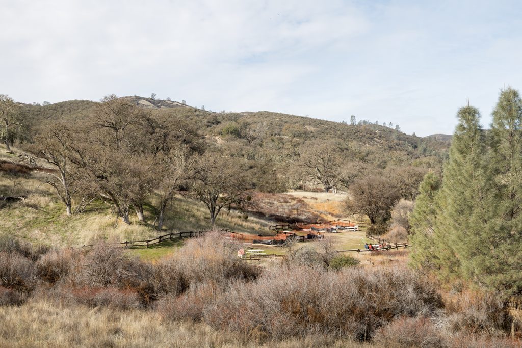
Place · 0.1 mi away
Challenging
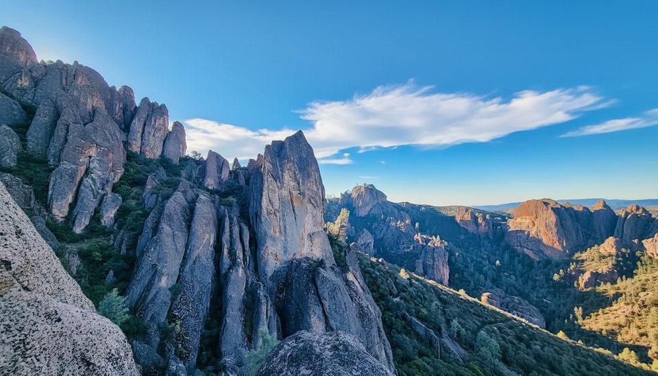
This west-side classic links the Juniper Canyon Trail with the High Peaks “Steep and Narrow” and returns via the Tunnel Trail for a stout 4.3-mile total loop with roughly 1,200–1,335 feet of gain. Plan on about 2.5–3 hours if you keep moving, longer if you linger at viewpoints. It’s strenuous, scenic, and absolutely worth it if you’re comfortable with heights and rock-cut stairs.
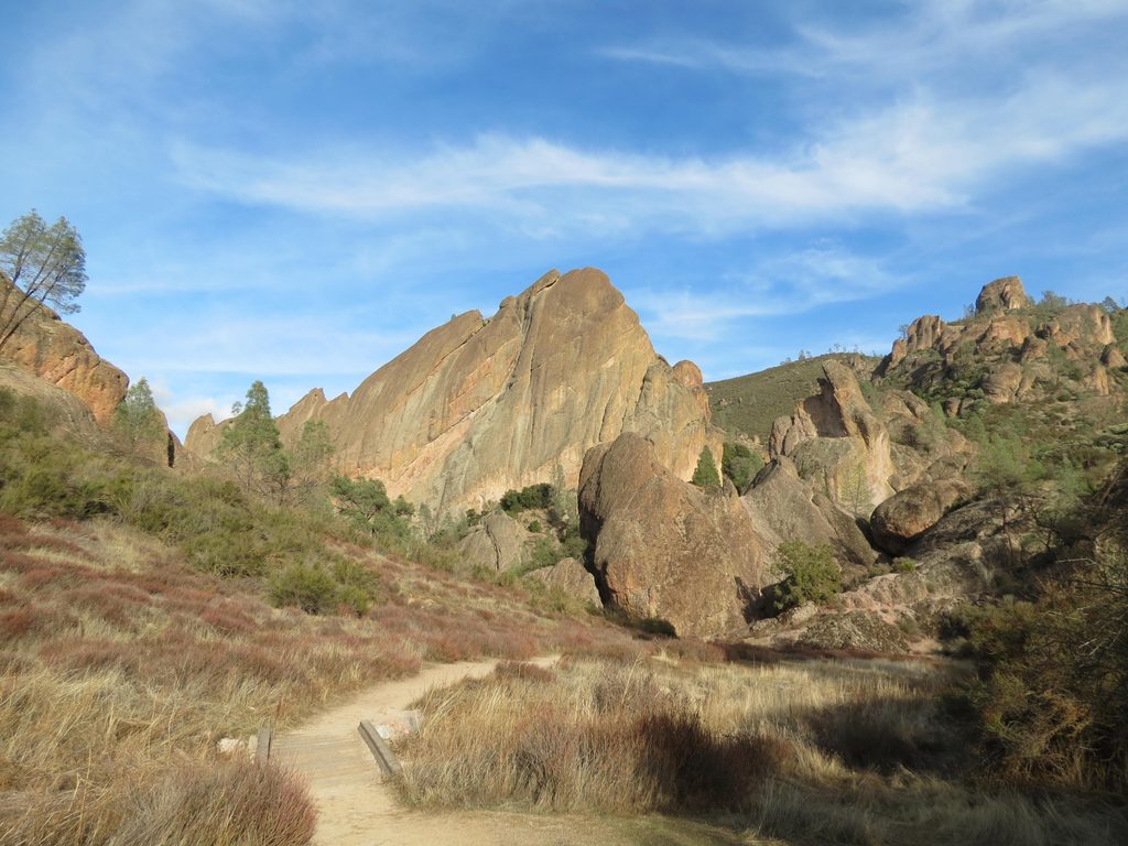
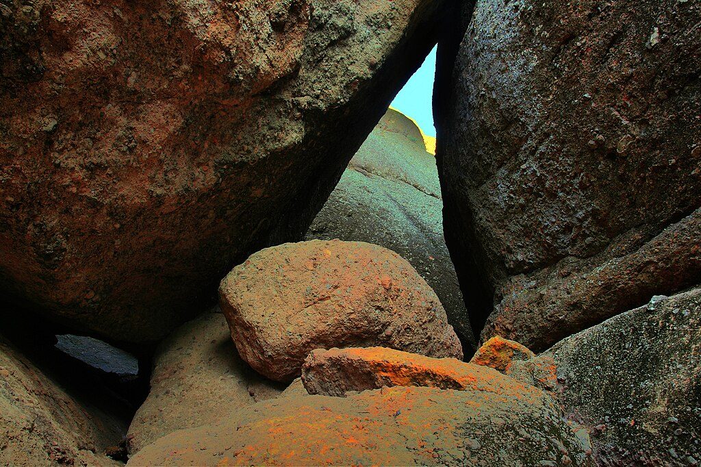
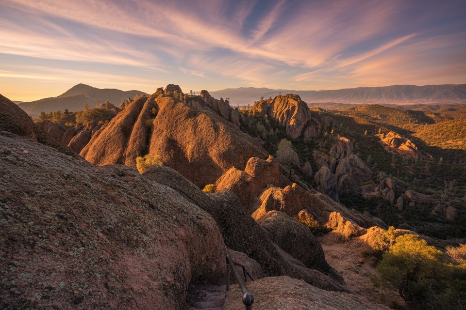
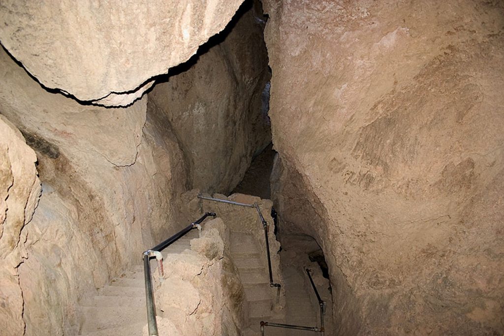
Start at the Chaparral Trailhead (West Entrance) and follow Juniper Canyon as it leaves a riparian corridor and immediately begins stacking switchbacks. Around 1.2 miles, reach a junction—stay right to continue up Juniper Canyon to Junction Saddle, where there’s a bench and a pit toilet and your first big views across the park. Turn left onto the High Peaks Trail to traverse the famed “Steep and Narrow,” where chiselled steps, narrow ledges, and handrails guide you through airy passages carved by the CCC in the 1930s. At the signed junction near Hawkins Peak, turn left down the Tunnel Trail and descend tight switchbacks, cross a small bridge, and walk through a roughly 120-foot rock tunnel back toward the loop junction. Finish by descending Juniper Canyon to the trailhead.
This hike earns its reputation: steep switchbacks, narrow rock stairs with handrails, and exposure in places. Footing can be uneven and slick on polished rock. If heights make you uneasy, know that the handrails help—but you’ll still want a steady head. Counter-clockwise (up Juniper Canyon, across High Peaks, down Tunnel Trail) is a touch easier and keeps most of the carved steps as an ascent rather than a downclimb.
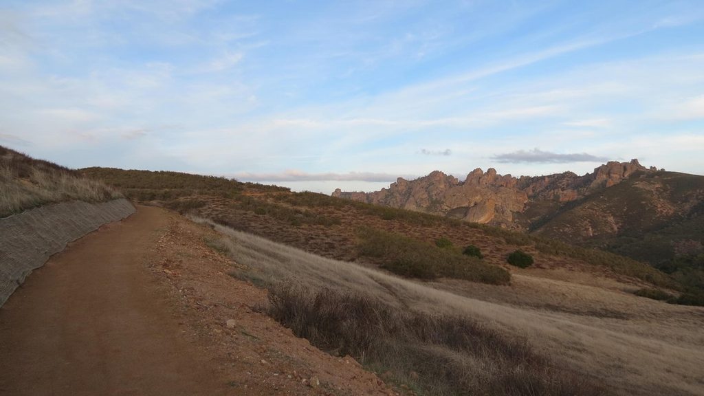
You’ll thread among Pinnacles’ knobby breccia spires and walls, with big views toward the Gabilan Range. Keep an eye skyward for California condors riding thermals along the ridgelines—this loop offers some of the park’s best chances. Deer and wild turkeys frequent the lower canyon, and rattlesnakes are possible on warm days—watch the trail.
Start early, especially in warm months. The lower canyon has some shade, but most of the route is exposed and summer highs can top 100–110°F. Cooler seasons and weekdays are best for both temps and parking. Early morning light makes the rock glow and usually brings calmer, cooler air; by late morning, it heats up quickly.
Park at the Chaparral Trailhead (West Entrance). The lot is small—arrive early. Overflow may be at Jawbone Parking (~0.25 mi away) or the West Visitor Contact Station (>2 mi). If the West Contact Station is closed mid‑week, use the self-pay kiosk.
Intense heat and full sun exposure with no water on trail; steep, narrow stairs with handrails and airy drop-offs; poison oak and rattlesnakes possible; limited cell service. Start early and carry ample water and electrolytes.
Place · 0.1 mi away
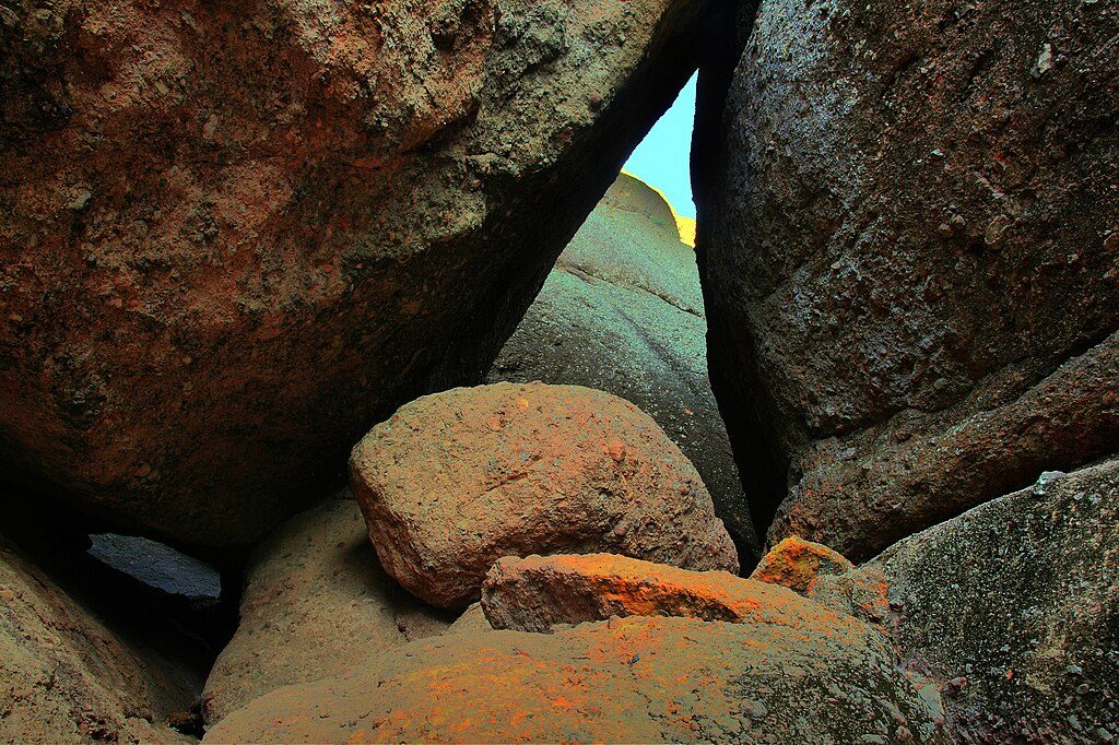
Place · 0.6 mi away
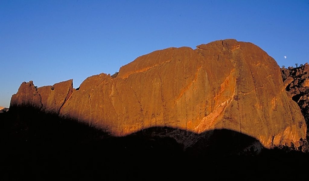
Place · 0.6 mi away
Place · 0.7 mi away
Moderate · 0 mi away
Moderate · 0 mi away
Easy · 1.3 mi away
Moderate · 1.8 mi away

Parkwolf Tour Guide
