Chaparral Picnic Area

West-side picnic hub and gateway to Balconies Cave and High Peaks
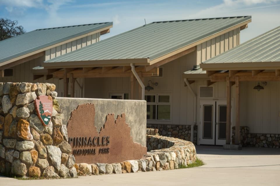
Chaparral Picnic Area, Pinnacles National Park
InsidePinnacles National Park

Overview

The Chaparral Picnic Area is the west-side day-use hub: a compact picnic spot that doubles as the trailhead for some of the park’s most popular routes. It’s the easiest place to start for Balconies Cave and the Juniper Canyon climb into the High Peaks. Note there’s no road connecting the west and east sides of the park, so choose your entrance wisely.

What You’ll Find

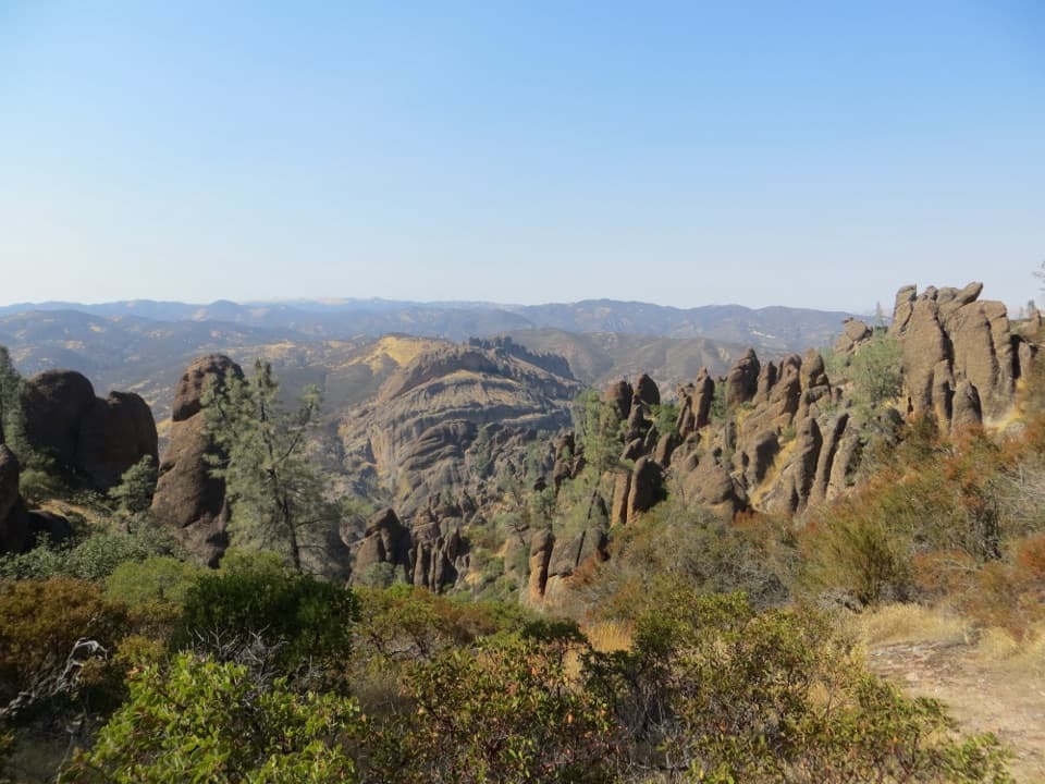
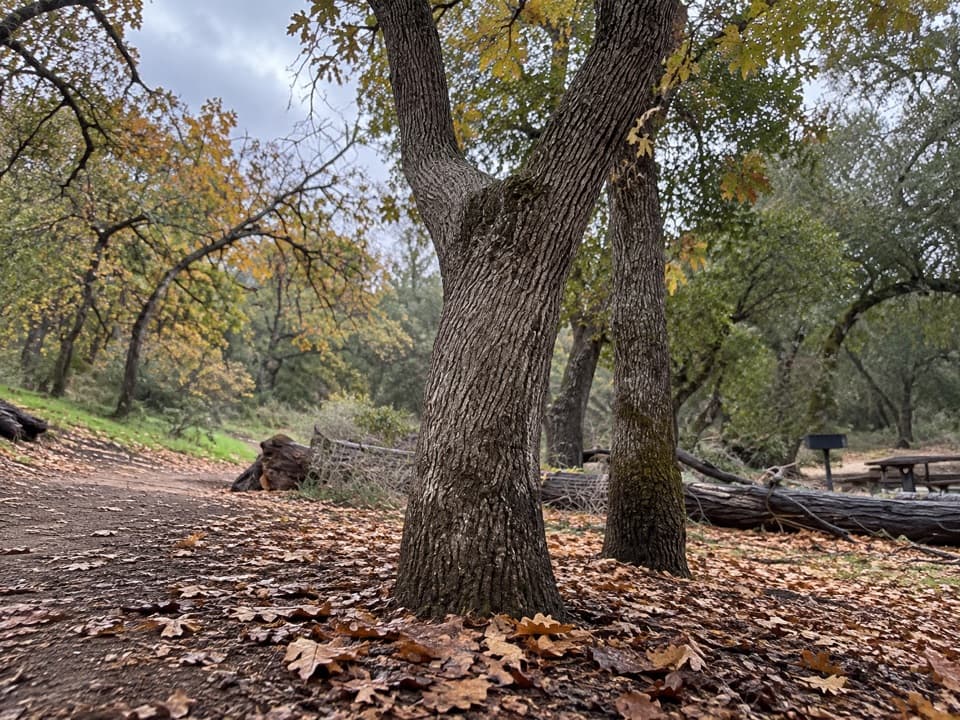
Expect the essentials done right: flush restrooms, potable water with a bottle-filling station, picnic tables, a covered picnic shelter, grills, trash cans, an info kiosk, and even a bike rack. Views of the surrounding rock walls set the stage for your day. Pets are allowed in the parking and picnic area, but not on any trails.

Trail Access from Here

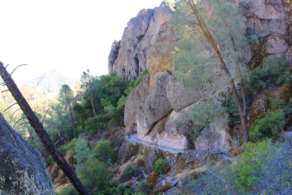
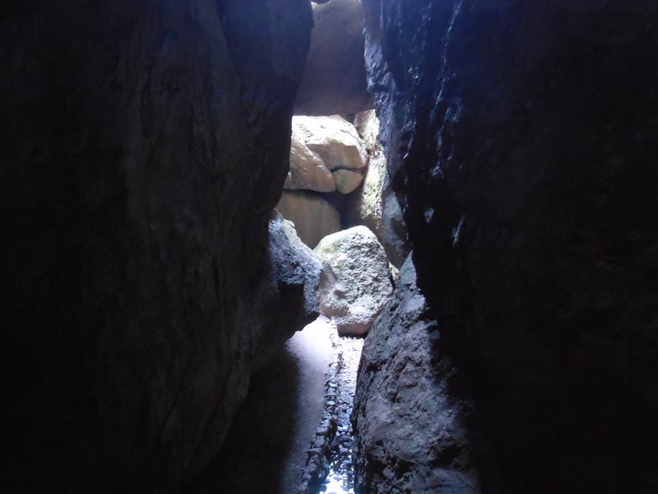
  • Balconies Cliffs–Cave Loop (about 2.4 miles, easy–moderate): A crowd-pleaser. One side skims airy cliff views, the other threads a talus cave—bring a flashlight; after winter storms you may wade.
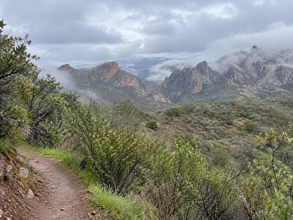
  • Juniper Canyon to High Peaks (about 4.3 miles, strenuous): Steep, switchbacking ascent to classic spires and the famed “Steep and Narrow” section.
  • High Peaks to Balconies Loop (about 8.4 miles, strenuous): Big ridge views before dropping to the cave—light required in the cave.
  • North Wilderness Loop (about 9.3 miles, strenuous): Remote feel with some unmaintained stretches and cairn-based route-finding.

Wildlife and Geology

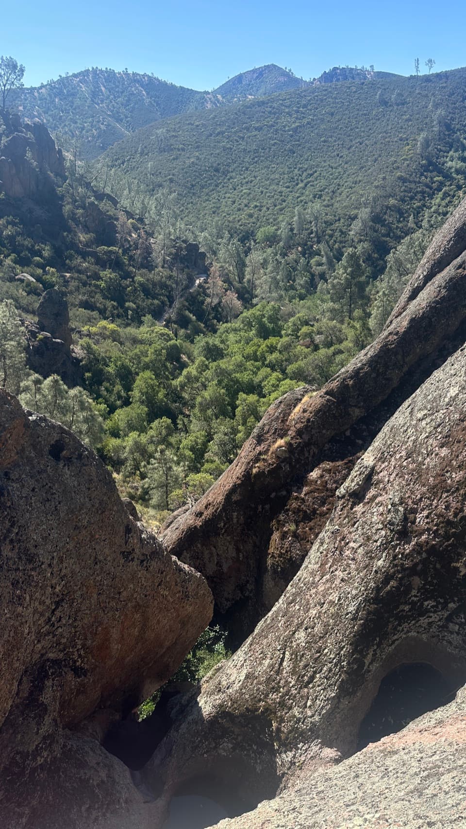
Scan the cliffs and thermals for California condors and peregrine or prairie falcons. Balconies Cave is a talus cave—boulders jammed into a narrow gorge to form a roof—one of the park’s coolest geologic features. The surrounding spires are remnants of a ~23‑million‑year‑old volcanic field shifted north along the San Andreas Fault, then sculpted by erosion.

Best Time to Visit

Parking is limited across the park, and this lot fills early on weekends and holidays. The west entrance typically opens around 7:30 am and closes around 8 pm. Summer and fall can soar past 100°F, and this side is more exposed, so early starts pay off. Winter and weekday visits are quieter; even a Monday in December can feel delightfully empty.

Planning and Safety

Heat is the biggest wildcard—carry plenty of water, wear sun protection, and use sturdy footwear. Poison oak and rattlesnakes are common; watch where you step and sit. For Balconies Cave, bring a headlamp/flashlight, expect low ceilings and uneven footing, and check park alerts for any cave closures or flooding. Cell service is spotty to none.

Getting There and Parking Notes

Reach the west entrance via CA‑146 from Soledad; the final stretch is narrow and steep, and large vehicles should avoid it. If the main lot is full, there’s an overflow area about a quarter mile away near the Jawbone Trail. Remember: west Pinnacles is day-use only—no camping on this side—and there is no road through the park between the two entrances.

Pros

  • Flush restrooms and bottle-filling drinking water
  • Direct trailhead access to Balconies Cave and High Peaks
  • Picnic tables plus shelter and grills

Cons

  • Parking fills quickly on weekends and holidays
  • Exposed terrain with little shade; can be very hot

Tips

  • Arrive early on weekends and holidays to secure a parking spot
  • Bring a headlamp or flashlight if you plan to enter Balconies Cave
  • Carry plenty of water and sun protection; the west side is exposed and hot
  • If the lot is full, use the overflow near the Jawbone Trail about 0.25 miles away
  • CA‑146 to the west entrance is narrow and steep; avoid large vehicles
The Parkwolf tour guide sitting on a phone mounted in a car

Parkwolf Tour Guide

Like a tour guide in your car.

Save the places you found around Pinnacles, then let Parkwolf guide the drive between them.Download Parkwolf on the App Store