Parking
Start at Chaparral Parking Area on the park’s west side. The lot is described as small; if it is full, Jawbone Parking Area is about 0.3 mile away, then walk over to Chaparral. Restrooms and picnic tables are at the start.

#4 of 25 trails in Pinnacles
Pinnacles National Park, CA
Dark caves and high cliffs in one short Pinnacles loop
Overview
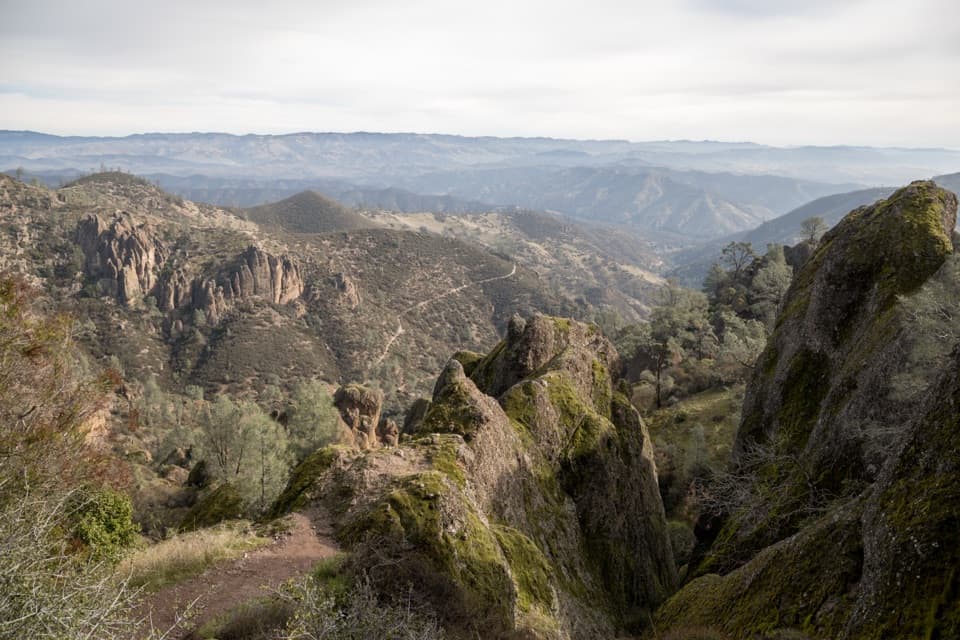
The route climbs steadily from the narrow drainage to a shelf above a thin canyon. Views open over the Chalone Creek drainage, with the Balconies chimneys and rock face rising beside you. This is the place to pause before heading down toward the cave. For a phone photo, keep the creek low in the frame and include the chimneys; that gives the narrow canyon some scale without stepping off the trail.
 Parkwolf’s verdictThe payoff on the cliffs
Map & elevation
Plan your hike

The highest, rockiest slopes around here are a summer buffet for grizzly bears.
Pinnacles Tour Guide
Parkwolf is a GPS audio tour guide for Pinnacles National Park. As you drive, it chimes in with what’s ahead: hidden gems, upcoming stops, history, geology, and wildlife, right through your car’s speakers.
Recorded for this trailhead
Chaparral and Balconies Cave“You're nearing Chaparral, the west-side starting point for Balconies Cave.”
Plays as you drive up to this trailhead in the Parkwolf Pinnacles Tour Guide.
More stories near here in the app
“Fantastic app with many points of information… It’s great to just turn on while you’re driving and it gives you an audio tour of the national Park. We love it!!!!”


Trail guide
Balconies Cliffs-Cave Loop is a short, roughly 2.4-mile stem-and-loop from Chaparral Parking Area on Pinnacles’ west side. You walk the same approach out and back, using Balconies Cliffs on one side of the loop and the cave passage on the other. The park’s trail listing gives 2.4 miles round trip; other route descriptions and a detailed mapped trace land closer to 2.6, so leave room for some distance variation. At a steady pace, allow 1 to 1½ hours, then longer if you stop or move carefully in the cave. It’s a compact way to get among Pinnacles’ volcanic spires, but the cave is a real scramble, not just a dark tunnel.
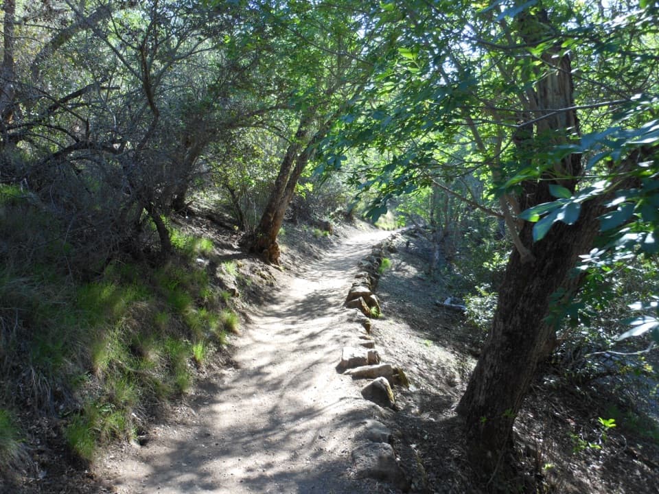
From Chaparral, follow Balconies Trail through a dusty drainage and a few short bridges. It briefly shares the Juniper Canyon start, so check the signs at the split and stay on Balconies. A spur leads toward Elephant Rock’s climbing area; it isn’t part of this loop. Follow Balconies Cliffs Trail up and over the cave, then descend to the Old Pinnacles connection and return through the cave passage. You retrace the lower access trail to Chaparral, so expect to see that stretch twice.
Balconies Cave is a talus passage, roofed by big blocks wedged across a narrow gorge. The loop goes through two very dark, tight sections with a short open break between them. The uneven rock steps can call for hands as well as feet, and the low ceilings make this a poor fit if enclosed spaces make you uneasy. Bring a headlamp or flashlight; don’t count on a phone light. If you’d rather skip the passages, turn around before entering and retrace the cliff route for a shorter out-and-back instead of trying to complete the loop.
These are boulder caves, not smooth limestone caverns. Fault movement and earthquakes sent large blocks into narrow gorges and fractures, where they jammed together to make the dark roofs. That explains the abrupt changes from open trail to tight rock passage, and why the cave feels like a gap in the landscape rather than a carved underground room.
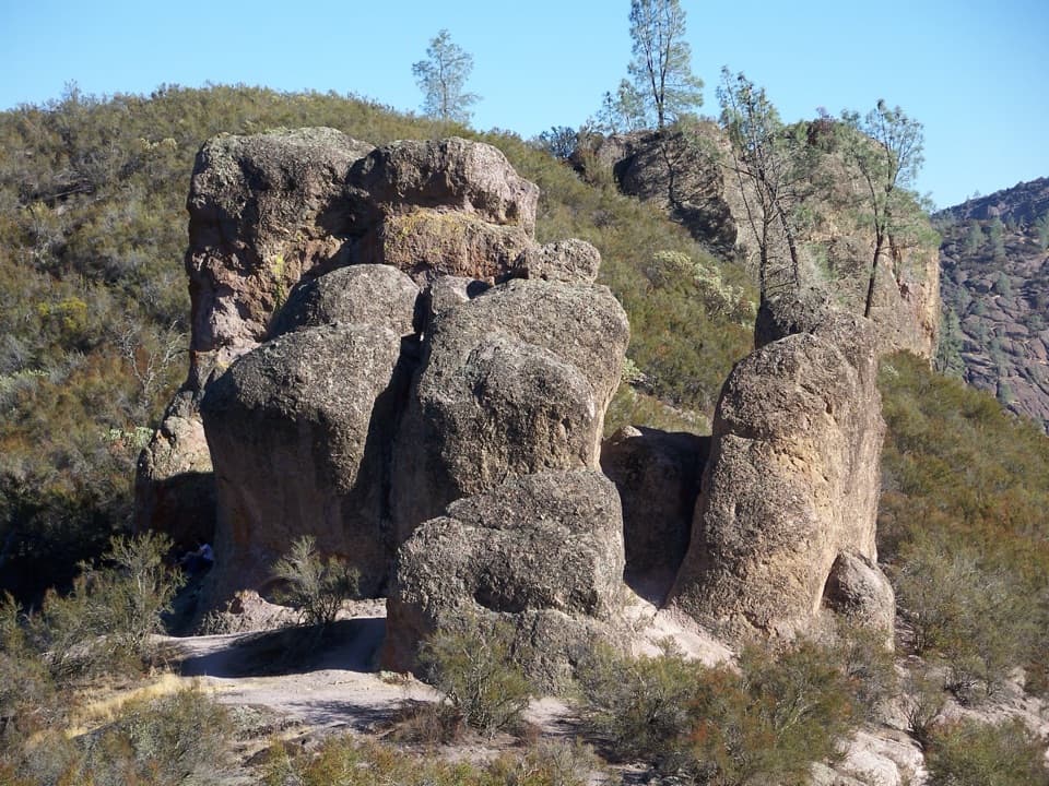
The spires themselves are remnants of a volcanic field that erupted about 23 million years ago near present-day Lancaster, roughly 195 miles southeast. Movement along the San Andreas Fault carried the formation north on the Pacific Plate; erosion then shaped the broken towers and ridges you see from the cliff path. Keep an eye out for Machete Ridge and Elephant Rock as the route winds through the formations.
This is not a long hike, but summer and fall days in the park can climb above 100°F. Start with water and take the exposed stretch seriously. Winter precipitation can flood the cave and make wading necessary. Rockfall, flooding, bat protection, or emergencies can also close the cave, so check current access before setting out; a cave closure changes whether you can complete the full loop.
Chaparral Parking Area is the west-side start. The lot is described as small; Jawbone Parking Area is about 0.3 mile away if you need another place to park, then walk over to Chaparral. The start has restrooms and picnic tables. Pets are prohibited on park trails.
Wildlife
 47 sightingsCalifornia CondorMost seen around 1 PMSighting map
 26 sightingsMule DeerMost seen around 6 PMSighting map
 19 sightingsChipmunkMost seen around 7 AMSighting map
 33 sightingsTurkey VultureMost seen around noonSighting map
 26 sightingsAcorn WoodpeckerMost seen around 8 AMSighting map
 16 sightingsSteller's JayMost seen around 8 AMSighting map
Sighting maps show where each species has been reported across Pinnacles. Wildlife moves, so no sighting is guaranteed.
Keep exploring
 ChallengingNorth Wilderness Trail Loop9.3 mi · 6.5 hr · At the trailheadRidge walking, cairned creek crossings, and Balconies Cave on the return.
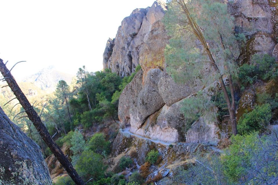 ModerateTunnel Trail3 mi · 2.5 hr · At the trailheadA steep climb to a historic passage through the Pinnacles.
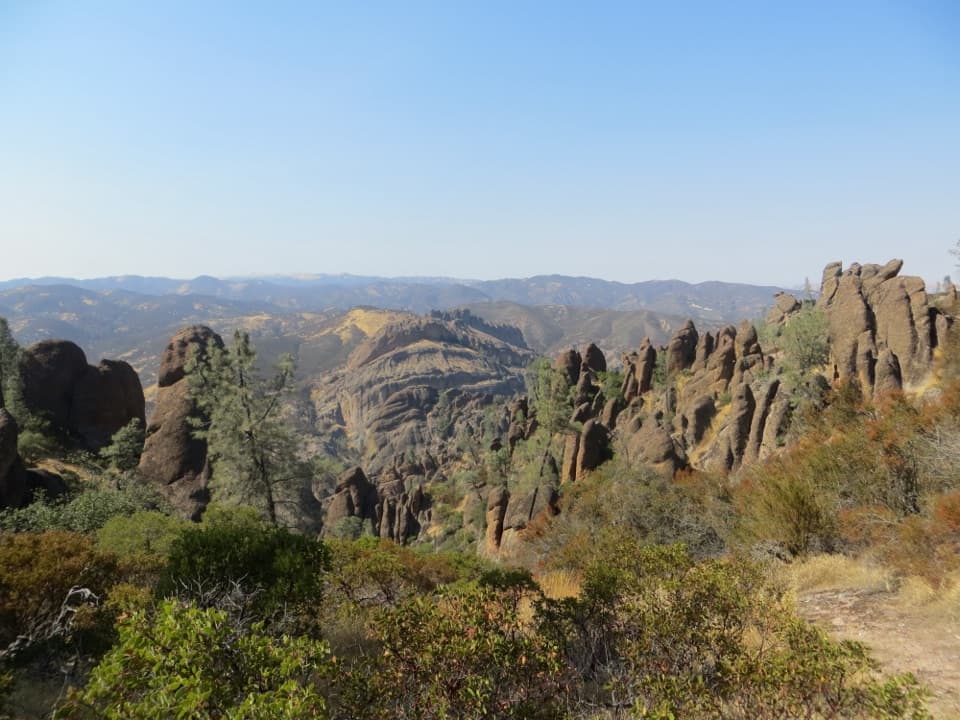 ChallengingHigh Peaks to Balconies Cave Loop8.4 mi · 4.5 hr · At the trailheadNarrow spires, carved steps, and a dark cave in one loop.ChallengingJuniper Canyon Trail Loop4.3 mi · 3 hr · 0.1 mi awaySteep rock steps, narrow ledges and a tunnel through the High Peaks.
 ModerateNorth Wilderness Trail to Twin Knolls3.1 mi · 2.5 hr · 0.1 mi awayA shorter North Wilderness climb to Twin Knolls views.
 ModerateJawbone Trail1.2 mi · 45 min · 1.1 mi awayA short, steep descent opens onto big Pinnacles views.
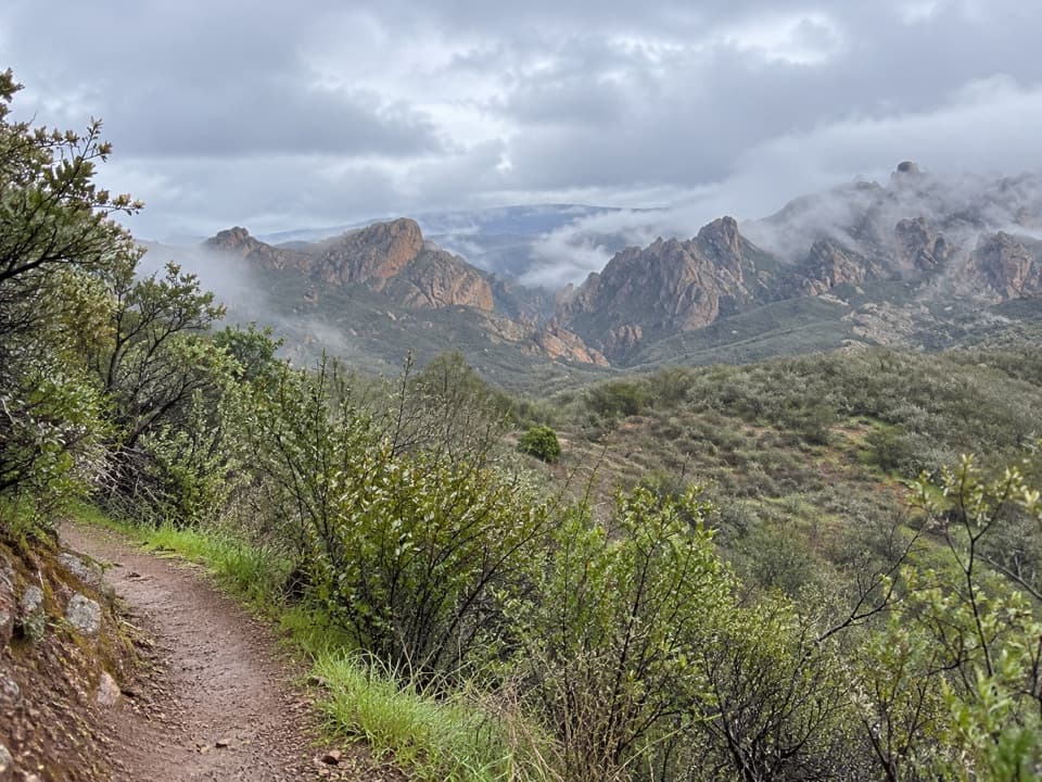 EasyPrewett Point Trail1 mi · 36 min · 1.3 mi awayAn easy hillside loop with sweeping views of the High Peaks.
 ModerateMoses Spring Trail to Bear Gulch Reservoir1 mi · 1.3 hr · 1.7 mi awayA short rocky climb to a ferny grotto and stone dam.
 Picnic area · 0.1 mi awayChaparral Picnic AreaA handy picnic stop beside two popular west-side trail loops.
 Sight · 0.6 mi awayMachete RidgeA huge fractured wall looms over the trail to Balconies Cave.
 Sight · 0.7 mi awayBalconies CaveA short loop turns a cliff walk into a boulder-cave scramble.
 Sight · 1 mi awayPrewett Point OverlookA gentle walk to a broad overlook over volcanic spires
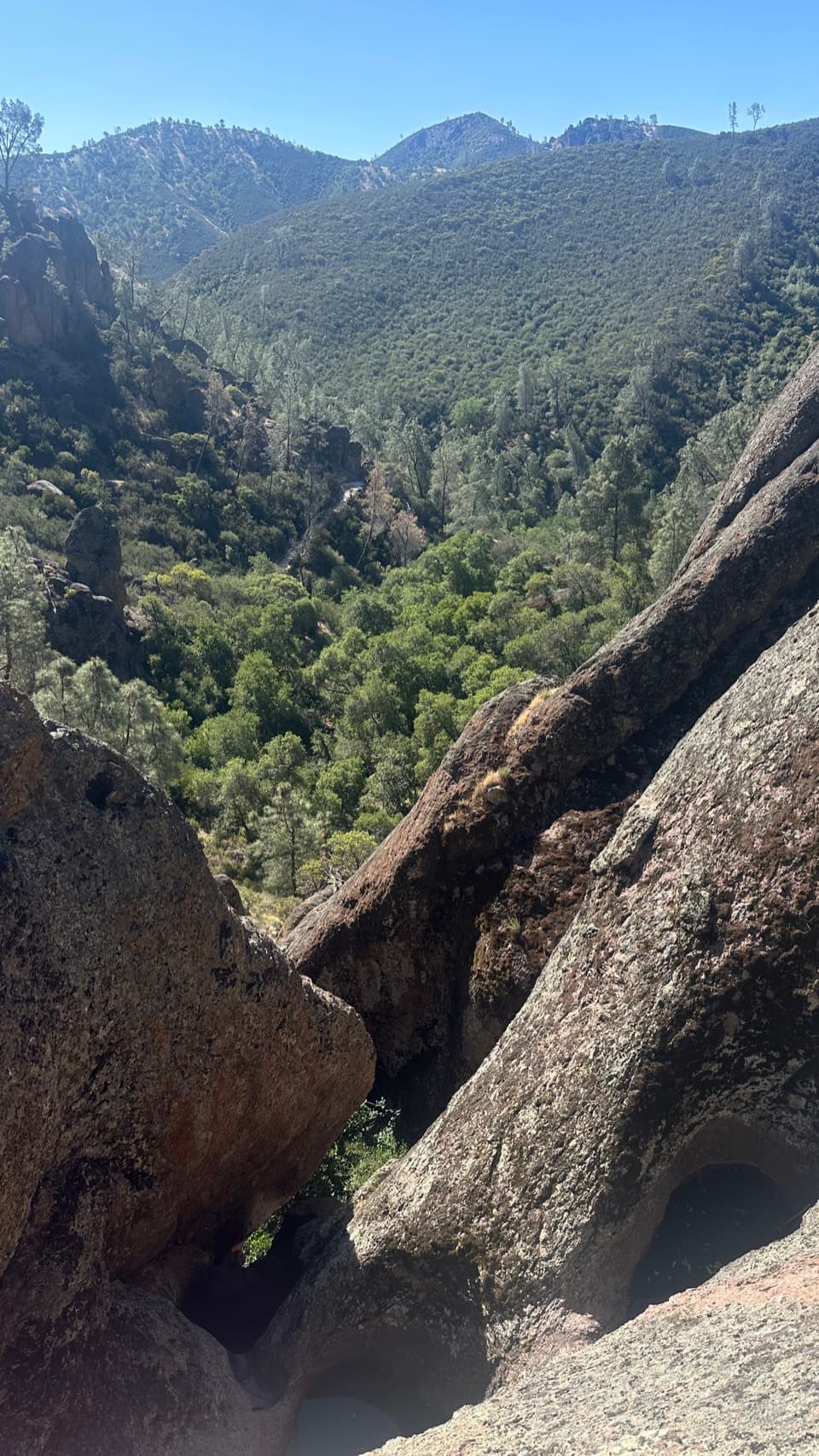 Sight · 1.1 mi awayCondor Gulch OverlookA worthwhile rocky pause before the tougher High Peaks climb.
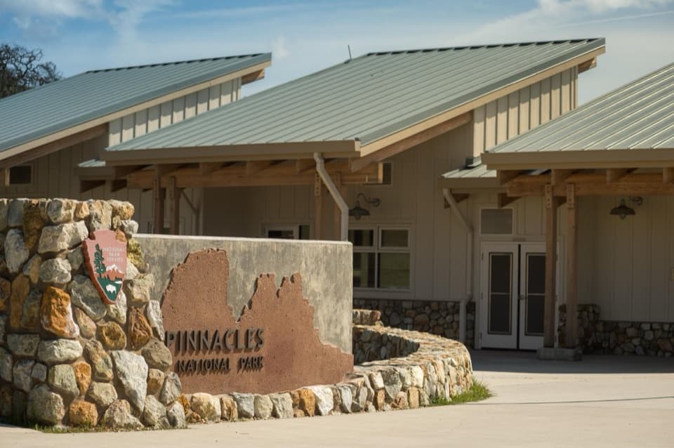 Visitor center · 1.3 mi awayWest Pinnacles Visitor Contact StationGet trail advice and water before you hike the west side.
 Sight · 1.7 mi awayDiscovery WallA technical crag where weak volcanic rock demands care.
 Sight · 1.7 mi awayMoses SpringA rock-wall spring worth a pause; don’t drink the water.
Parkwolf’s Pinnacles ranking
The audio tour guide for the drive, plus offline maps, trails, and wildlife heatmaps for when the signal drops.