Parking
Start at Chaparral Parking Area on the west side and follow the shared approach to Juniper Canyon. The park map marks restrooms and a picnic area beside the lot; parking capacity and fees were not verified.
Pinnacles National Park, CA
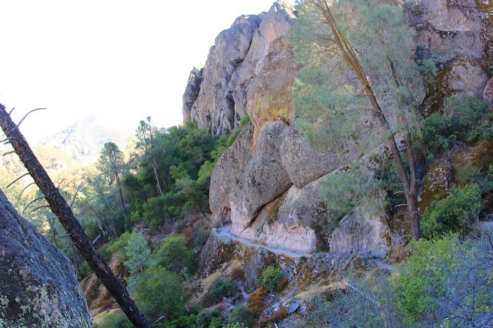
A steep climb to a historic passage through the Pinnacles.
Overview
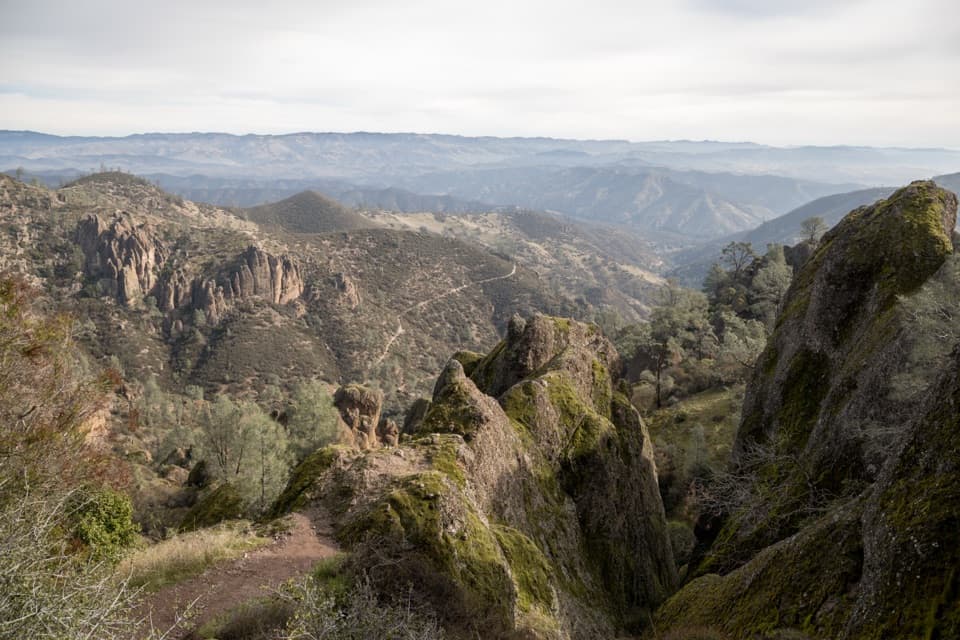
Tunnel Trail is about a 3-mile out-and-back from Chaparral Parking Area on the west side, following the shared approach and Juniper Canyon to the man-made passage, then across the short bridge before you return the same way. Allow two to three hours and roughly 700 feet of climbing. It is a rewarding shorter walk into the rock formations, but the exposed climb makes it more demanding than the mileage suggests. Some descriptions put the tunnel outing closer to 2.5 miles; this route counts the full mapped line from the parking access to the bridge and back, so use 3 miles for planning.
 Parkwolf’s verdictIs this Tunnel Trail walk for you?
Map & elevation
Plan your hike

The highest, rockiest slopes around here are a summer buffet for grizzly bears.
Pinnacles Tour Guide
Parkwolf is a GPS audio tour guide for Pinnacles National Park. As you drive, it chimes in with what’s ahead: hidden gems, upcoming stops, history, geology, and wildlife, right through your car’s speakers.
Recorded for this trailhead
Chaparral and Balconies Cave“You're nearing Chaparral, the west-side starting point for Balconies Cave.”
Plays as you drive up to this trailhead in the Parkwolf Pinnacles Tour Guide.
More stories near here in the app
“Fantastic app with many points of information… It’s great to just turn on while you’re driving and it gives you an audio tour of the national Park. We love it!!!!”


Trail guide
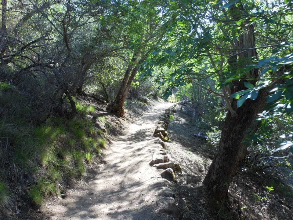
The first quarter-mile follows a tree-lined ravine. After the bend, the trail climbs in steep switchbacks and the chaparral opens, leaving the parking area far below. Shade thins after the ravine, so this is not a good route for a hot afternoon. Start early on warm days and bring water; the park recommends at least one liter per person per hiking hour.
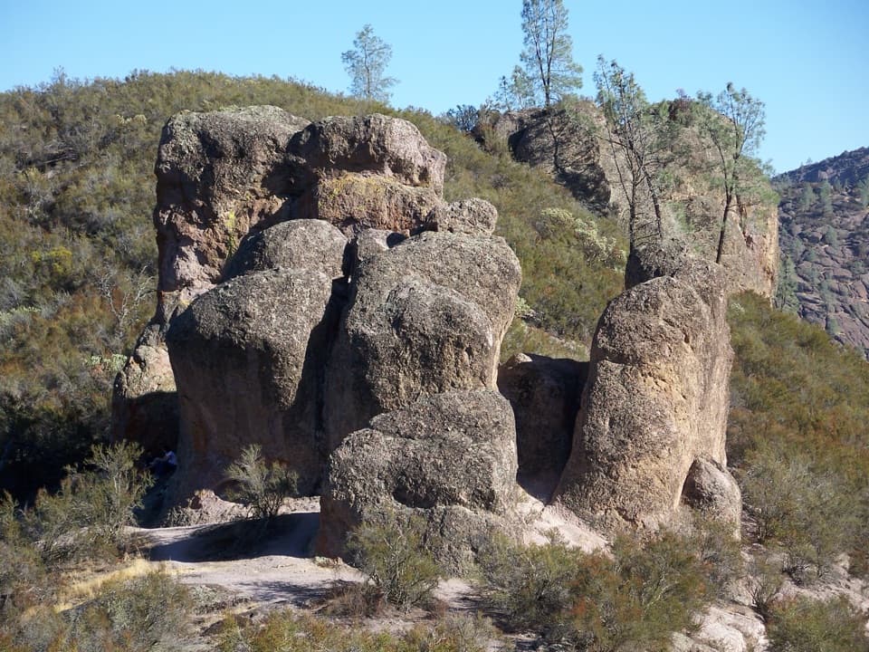
The constructed passage cuts through the stone near the Pinnacles spires, with a short bridge over a cleft just beyond it. Cross the bridge, take in the narrow rock setting, and turn back there to keep this as the tunnel outing; the named Tunnel Trail continues toward the High Peaks as a separate, longer through-route. The park's history shows the tunnel already complete behind local workers on the High Peaks Trail around 1932. From just beyond the opening, include a slice of the rock wall and bridge in the same frame to show how the route threads through the formation.
Use Chaparral Parking Area on the west side, then follow the short shared trail approach to Juniper Canyon. The park map marks restrooms and a picnic area at the parking area. Pet dogs are not allowed on park trails. If you want a longer circuit from Chaparral, the separate Juniper Canyon Loop is listed at 4.3 miles; it is not this tunnel turnaround.
Wildlife
 47 sightingsCalifornia CondorMost seen around 1 PMSighting map
 26 sightingsMule DeerMost seen around 6 PMSighting map
 19 sightingsChipmunkMost seen around 7 AMSighting map
 33 sightingsTurkey VultureMost seen around noonSighting map
 26 sightingsAcorn WoodpeckerMost seen around 8 AMSighting map
 16 sightingsSteller's JayMost seen around 8 AMSighting map
Sighting maps show where each species has been reported across Pinnacles. Wildlife moves, so no sighting is guaranteed.
Keep exploring
 ChallengingNorth Wilderness Trail Loop9.3 mi · 6.5 hr · At the trailheadRidge walking, cairned creek crossings, and Balconies Cave on the return.
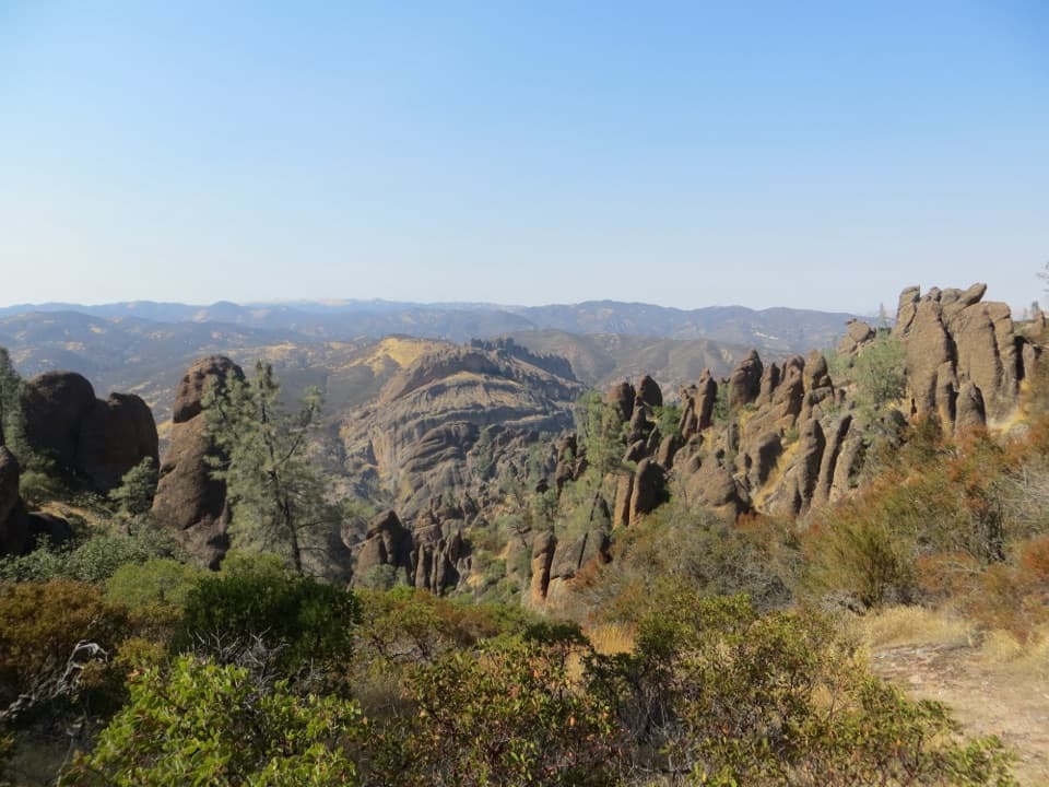 ChallengingHigh Peaks to Balconies Cave Loop8.4 mi · 4.5 hr · At the trailheadNarrow spires, carved steps, and a dark cave in one loop.
 ModerateBalconies Cliffs-Cave Loop2.4 mi · 1.5 hr · At the trailheadDark caves and high cliffs in one short Pinnacles loopChallengingJuniper Canyon Trail Loop4.3 mi · 3 hr · 0.1 mi awaySteep rock steps, narrow ledges and a tunnel through the High Peaks.
 ModerateNorth Wilderness Trail to Twin Knolls3.1 mi · 2.5 hr · 0.1 mi awayA shorter North Wilderness climb to Twin Knolls views.
 ModerateJawbone Trail1.2 mi · 45 min · 1.1 mi awayA short, steep descent opens onto big Pinnacles views.
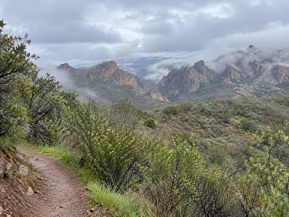 EasyPrewett Point Trail1 mi · 36 min · 1.3 mi awayAn easy hillside loop with sweeping views of the High Peaks.
 ModerateMoses Spring Trail to Bear Gulch Reservoir1 mi · 1.3 hr · 1.7 mi awayA short rocky climb to a ferny grotto and stone dam.
 Picnic area · 0.1 mi awayChaparral Picnic AreaA handy picnic stop beside two popular west-side trail loops.
 Sight · 0.6 mi awayMachete RidgeA huge fractured wall looms over the trail to Balconies Cave.
 Sight · 0.7 mi awayBalconies CaveA short loop turns a cliff walk into a boulder-cave scramble.
 Sight · 1 mi awayPrewett Point OverlookA gentle walk to a broad overlook over volcanic spires
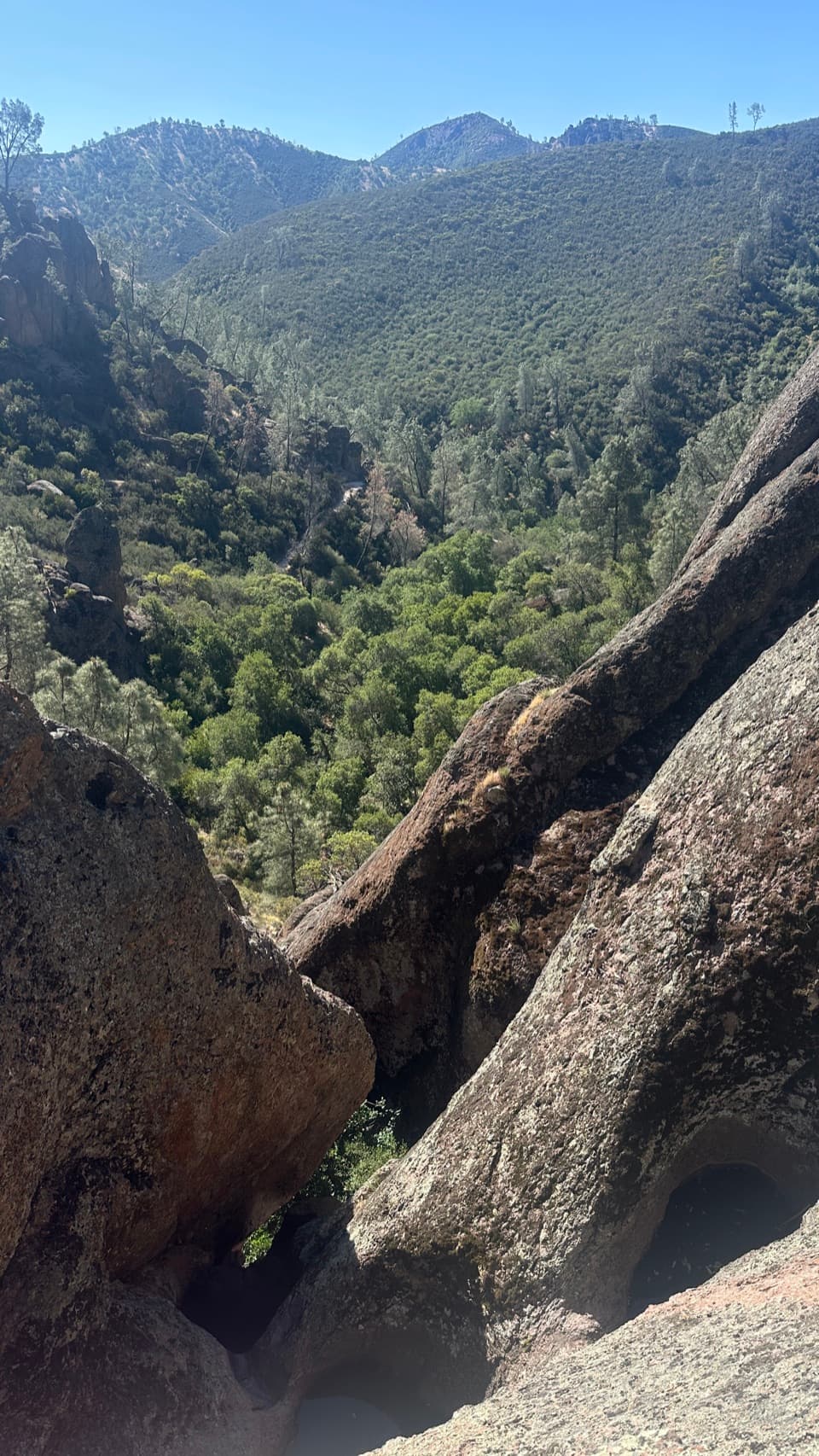 Sight · 1.1 mi awayCondor Gulch OverlookA worthwhile rocky pause before the tougher High Peaks climb.
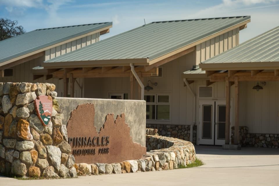 Visitor center · 1.3 mi awayWest Pinnacles Visitor Contact StationGet trail advice and water before you hike the west side.
 Sight · 1.7 mi awayDiscovery WallA technical crag where weak volcanic rock demands care.
 Sight · 1.7 mi awayMoses SpringA rock-wall spring worth a pause; don’t drink the water.
Parkwolf’s Pinnacles ranking
The audio tour guide for the drive, plus offline maps, trails, and wildlife heatmaps for when the signal drops.