Place · 2.3 mi away

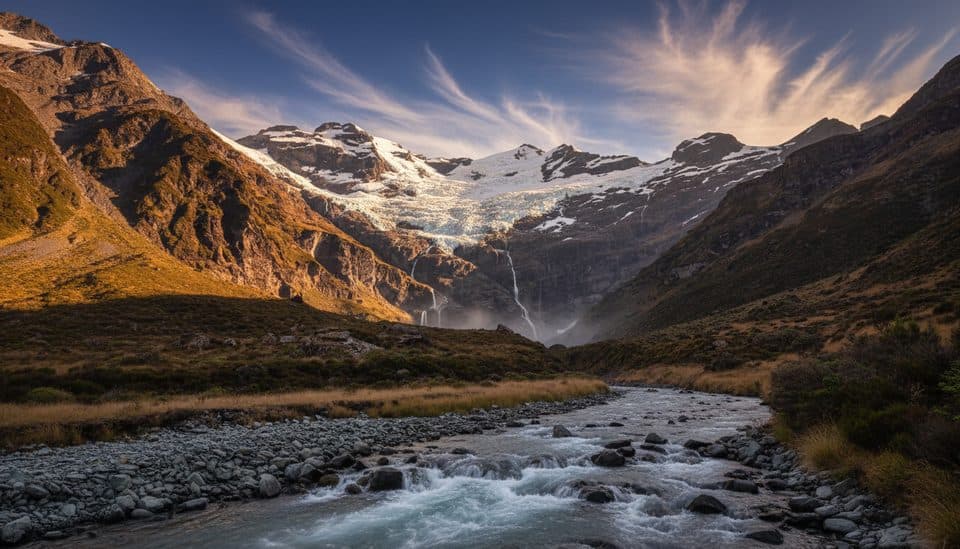
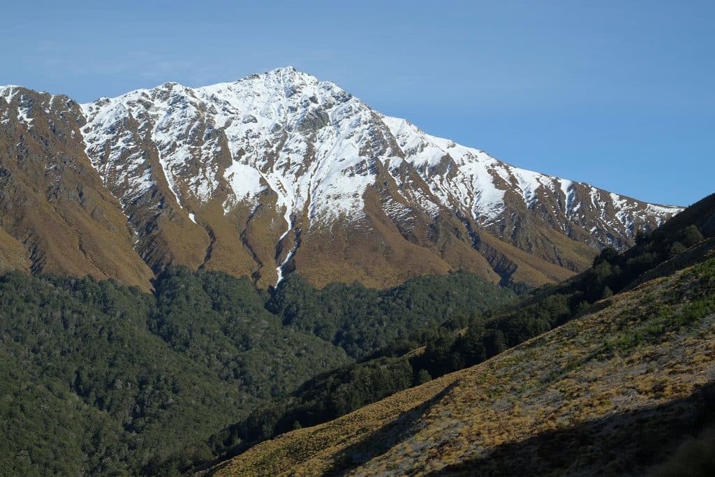
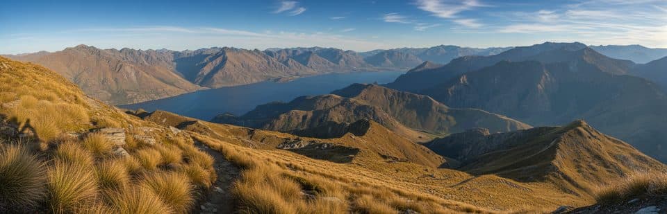
Mount Alfred / Ari rises immediately north of Glenorchy between the Dart and Rees Rivers, a glacially sculpted hill of schist that punches well above its height in drama. From the summit you get wraparound views to snow-capped ranges, braided rivers, rainforest and farmland, with sightlines toward Mount Aspiring National Park. It has even doubled as a film backdrop, and featured in a national tourism video.
Public, self-guided access is no longer offered here; the route crosses private land and has been guided-only since 2017. Book with an operator who collects you in Glenorchy and drives by 4×4 onto the property. Always confirm current access and availability directly with the guiding company before you go.
Expect a big, honest climb: roughly 8 km return with about 1,375 m of elevation gain. DOC has estimated 6–8 hours; many guided itineraries plan for about 8 hours return. The track climbs steeply through beech forest before breaking into tussock. Above the bush line the ground becomes steeper and more exposed, and sections are on uneven terrain rather than a formed, marked track. Minor stream crossings and wind near the top are common.
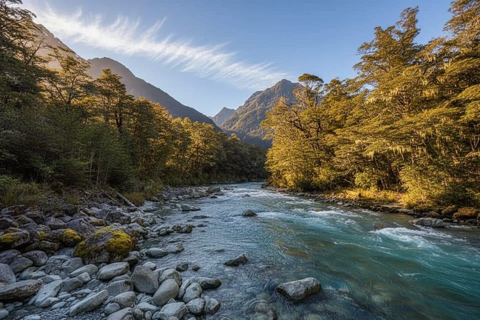
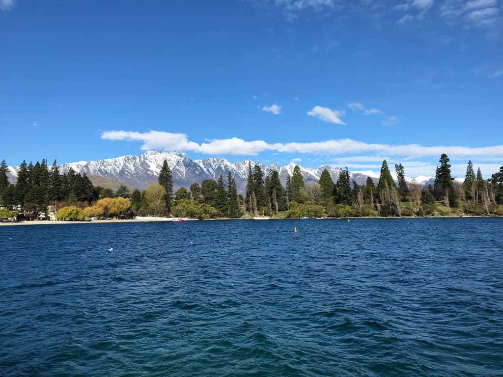
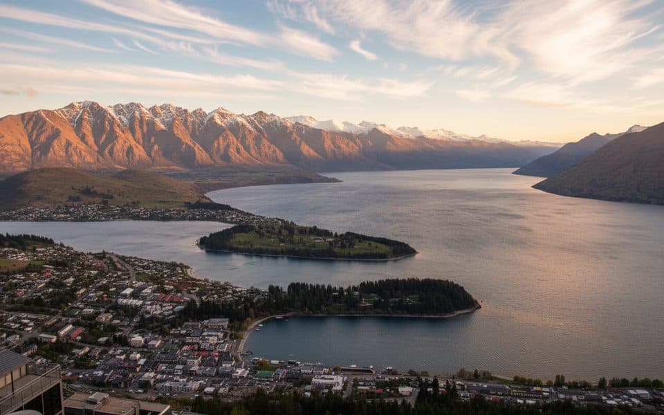
Panoramas are the headline: 360° vistas over Lake Wakatipu’s northern reach, the Dart and Rees braided river systems, and the surrounding ranges. Guides typically point out native flora and commonly observed birdlife along the way, and the mountain itself is a clear expression of past glaciation.
The main guided hiking season runs October–April for longer, more stable days. Off‑season trips may be possible case‑by‑case, but expect short daylight and potential snow or ice on higher sections in winter. Weather can change quickly here, so pack for swings.

Don’t expect built facilities on the mountain—no toilets, shelters, picnic tables or public parking at a trailhead. Guided trips usually include 4×4 transfers from Glenorchy, water, snacks, use of a daypack and trekking poles, with an optional packed lunch. Some operators can arrange helicopter variations if you’d rather not hike both ways.
This is a steep, sustained ascent suited to fit hikers. Sections can be slippery after rain and exposed to wind near the summit. Guides set turnaround times based on conditions and daylight.
Wear supportive hiking boots and use layers for rapid weather shifts, plus a light waterproof shell, sun protection, sunglasses and your camera. Bring personal snacks if you like; optional lunches can be pre‑ordered with some operators.
Book for October–April to take advantage of longer daylight and more reliable conditions. In winter, trips are possible only by arrangement with the guide, with increased chances of snow/ice and shorter days.