Pros & cons
PROS
- Free, photogenic roadside stop with sweeping mountain views
- Scenic drive out from Glenorchy is half the fun
CONS
- No facilities at the sign
- Unsealed road and a creek/ford can be rough or impassable after rain
- Very limited space to pull off safely
Overview
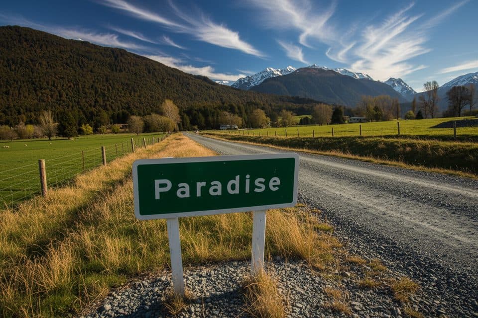
A simple roadside marker at the end of the Glenorchy–Paradise drive, the Paradise Sign is a quick, fun photo stop surrounded by beech forest and big‑sky peaks. There’s no ticket or gate—just pull over carefully, snap the shot, and soak up those Middle‑earth vistas.
Getting There & Road Conditions
From Queenstown, the sealed lakeside road to Glenorchy is spectacular. Beyond town, it’s roughly 20–30 minutes to the sign on an unsealed/gravel section with a small creek/ford. SUVs and 4WDs are preferred; small cars manage in dry conditions but it’s bumpy. After rain, check the ford—if it’s running deep or fast, turn back. There are no marked bays; use the small verge pull‑offs, park fully off the carriageway, and don’t block farm gates. No bins here—pack out everything.
What You’ll See
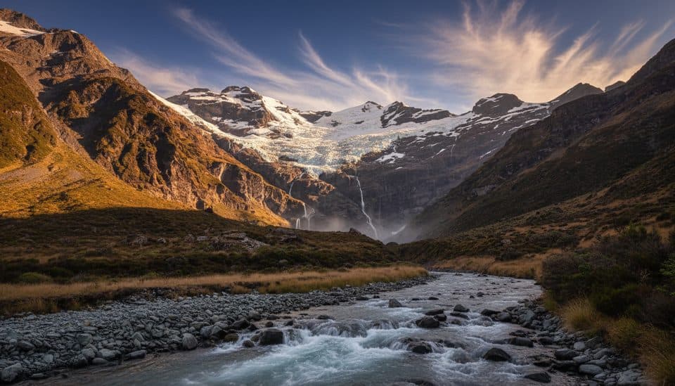
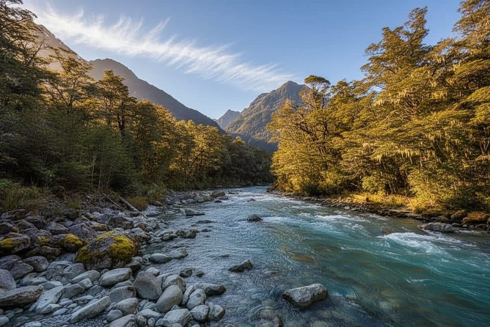
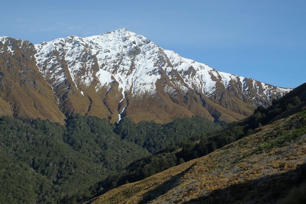
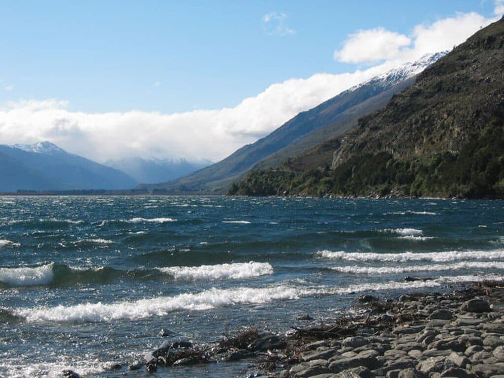
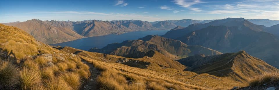
It’s all about the juxtaposition: a humble sign in front of grand valley scenery. You’ll often find reflections and flowing water at the nearby ford, plus wide mountain backdrops that featured around well‑known film locations in the greater Glenorchy/Paradise area.
Photography Tips
Golden hour flatters this spot year‑round. Bring a wide‑angle for the sign and sweeping vistas, and a telephoto to compress peaks. A small tripod helps if you’re shooting the creek in low light. Expect a bit of dust on dry days—keep a cloth handy for lenses.
Pair It With
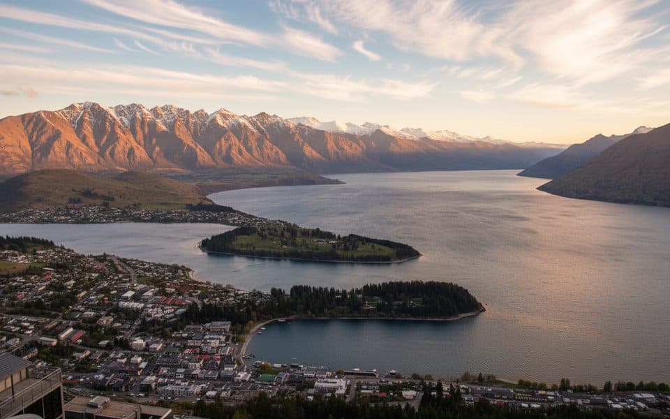
Make a morning or afternoon of it: the Glenorchy waterfront and Lagoon Walkway are easy wins, and the drive itself has plentiful pull‑offs. Bennetts Bluff offers classic lake‑and‑glacier views on the way to or from Queenstown.
Best Time to Visit
- Summer mornings tend to be clearer and calmer.
- Winter afternoons bring crisp air and dramatic light with fewer people.
- Sunrise or sunset delivers the most cinematic photos, but visit in full daylight if recent rain has made the ford questionable.

Bottom Line
Fun, fast, and undeniably photogenic—but it’s a minor stop. Come for the picture, stay for the journey.
Where it is
-44.7251, 168.3690Tips for Paradise Sign
- 01Use restrooms and grab supplies in Glenorchy—there’s nothing at the sign.
- 02Drive slowly on the last gravel stretch and park fully off the road.
- 03After rain, check the creek carefully; if it’s deep or fast, don’t attempt it.
- 04Golden hour light is best; bring a wide‑angle and a cloth for dust.
- 05Avoid caravans; a higher‑clearance vehicle makes the approach more comfortable.
Amenities
Near Paradise Sign
All places →All trails →
2.3 mi awayMount AlfredGuided-only summit hike with huge views over Glenorchy’s riversScenic Viewpoint
2.3 mi awayEarnslaw Burn TrackA rough, epic push to hanging glaciers and waterfall wallsChallenging · 15.7 mi · 10.5 hr
4.5 mi awayRouteburn TrackIconic alpine hut to hut traverse with big mountain and lake viewsModerate · 20 mi · 13.5 hr
4.5 mi awayRouteburn Nature WalkEasy beech forest loop with a swingbridge and Route Burn viewsEasy · 1.5 mi · 54 min
5.4 mi awayRees–Dart TrackA rugged Rees–Dart alpine circuit for hut lovers and weather watchersChallenging · 39.1 mi · 26 hr
7.4 mi awayMount Earnslaw / PikirakatahiGlaciated twin peak for serious hikers and climbersScenic Viewpoint
8.3 mi awayGlenorchy LagoonFlat boardwalk with mirror views and easy birdwatchingTrailhead · Parking
8.6 mi awayGlenorchyGateway hamlet to big-mountain hikes and wild fiordland sceneryRestroom · Store