Pros & cons
PROS
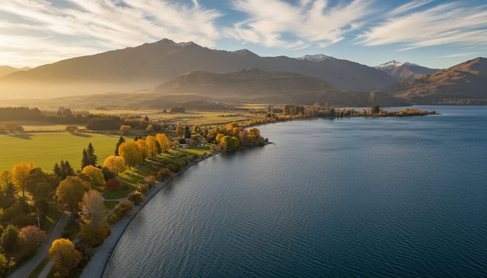
- Big 360° views over Lake Wānaka and the Southern Alps
- Flexible loop options with great lookouts en route
CONS
- Western track gets muddy and slick after rain
- Narrow sections with steep drop-offs; brief hands-on moves
- No water or facilities beyond the car park
Overview
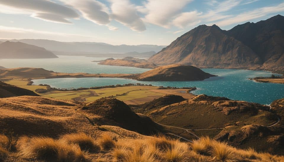
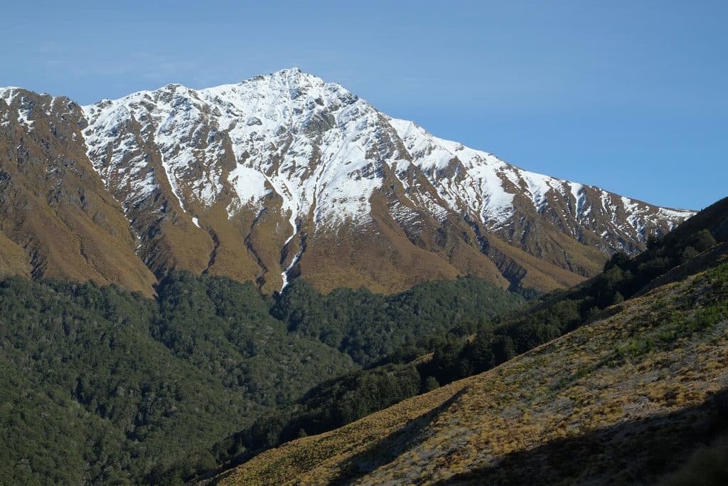
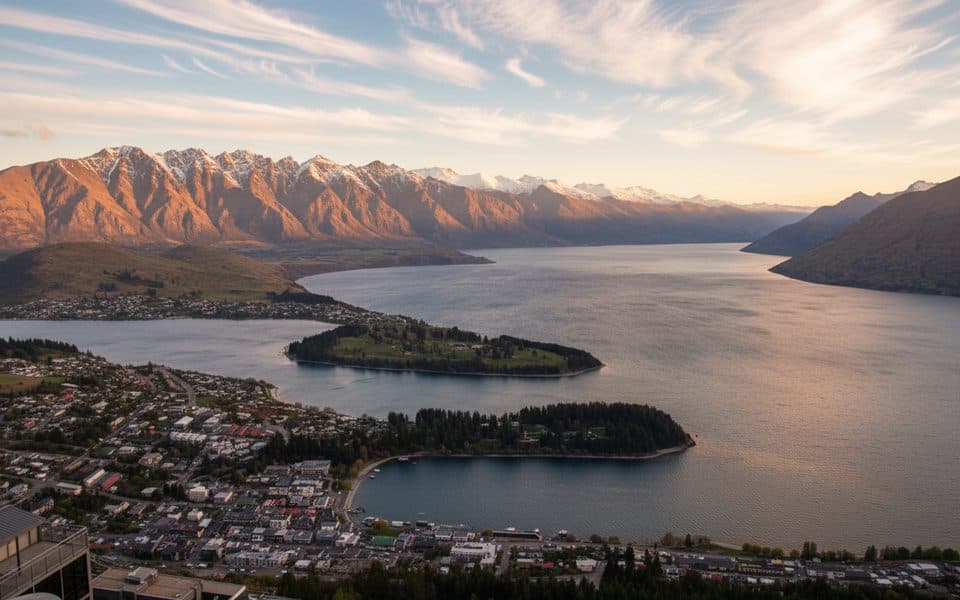
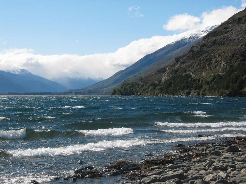
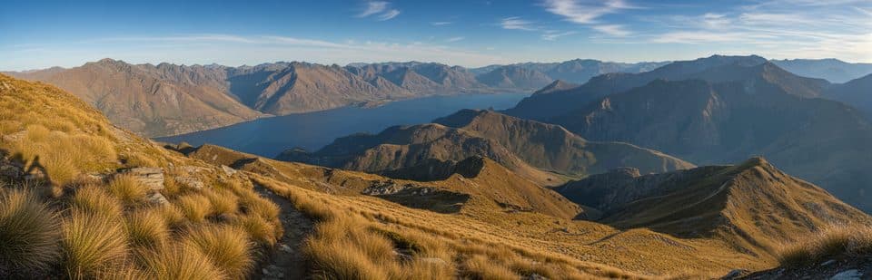
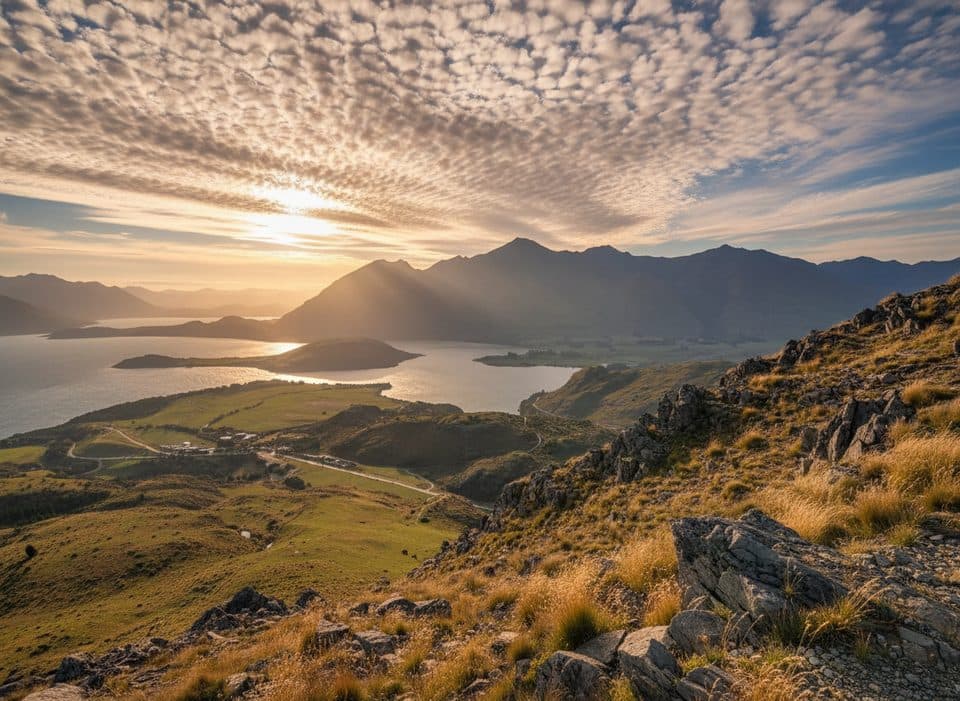
This is the high point of the Diamond Lake Conservation Area: a grassy, 775 m summit with sweeping views across Lake Wānaka toward the Southern Alps/Kā Tiritiri o te Moana and Mt Aspiring/Tititea. The return walk is roughly 7–8 km with about 490–500 m of climb, taking most parties around 3 hours. It’s a solid, moderate outing with a few short, steeper steps.
Getting There
Start from the Diamond Lake Conservation Area car park, about 18.5 km west of Wānaka on the Wānaka–Mt Aspiring Road. The road is sealed most of the way, turning to good gravel near the end. There’s a toilet at the car park; there are no facilities on the track or at the summit.
Route in a Nutshell
Follow the track to Diamond Lake and the Diamond Lake Lookout. From there, the best plan is to climb via the Eastern Track: it’s scenic, has a short detour to the Lake Wānaka Lookout, and generally avoids the worst mud. Expect a couple of brief, easy scrambles and some narrow sections with drop-offs. In dry conditions, many hikers make a loop by descending the Western Track; after rain, switch back to the Eastern side before the forested lower section, which can turn slick and muddy.
What You’ll See
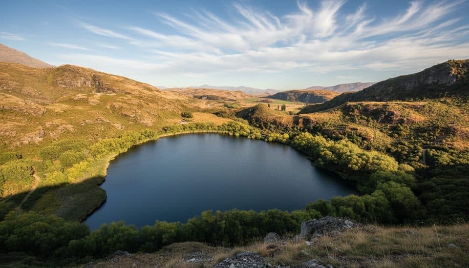
- Diamond Lake’s calm reflections, then native forest and shrubland tucked into bluff systems carved by Ice Age glaciers.
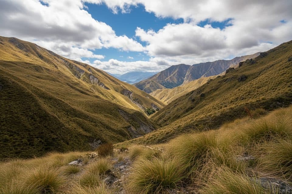
- Birdlife along the way and expansive lake-and-alpine vistas from the ridge.
- A broad summit panorama taking in Lake Wānaka and the high peaks toward Mt Aspiring.
Conditions & Safety
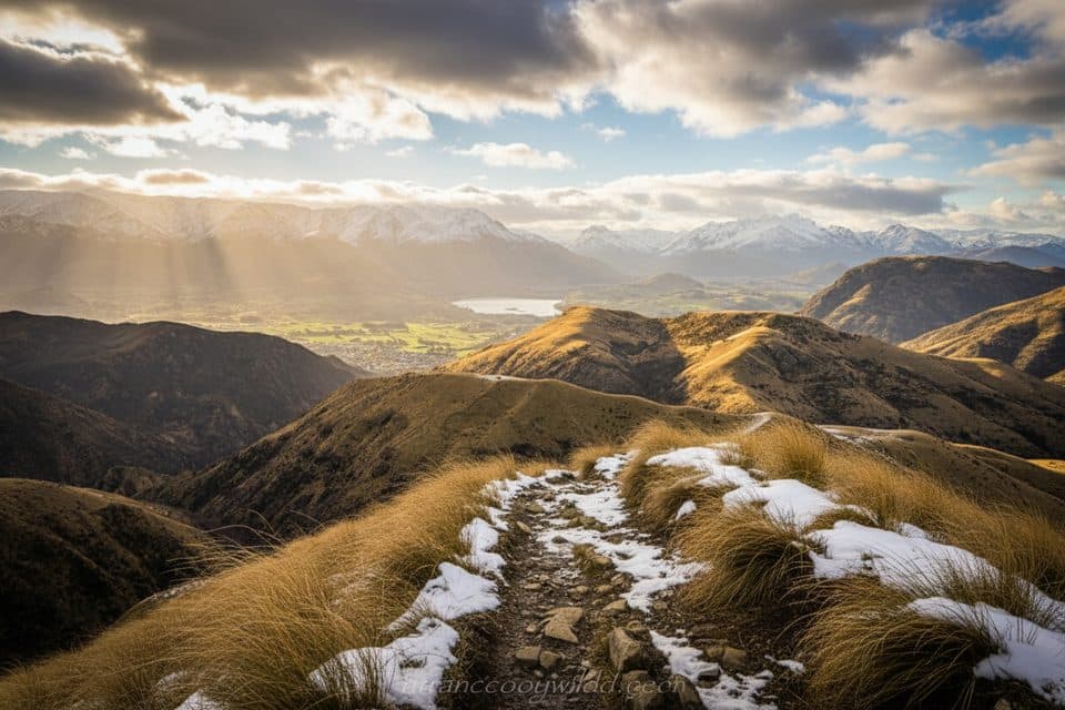
Sections are steep and can be slippery even in summer; in winter, ice is possible and raises the risk on narrow bits. Weather can swing quickly—carry layers. Trekking poles help on the steeper, loose sections. Mountain bikes are only permitted as far as Diamond Lake. The surrounding bluffs are popular for rock climbing in summer.
Best Time to Visit
Aim for early morning or late afternoon for softer light and quieter track vibes; mid‑morning to mid‑afternoon tends to be busier, especially on weekends. Give the Western Track a miss after rain, and be cautious in icy conditions. Clear days make the Eastern ascent sparkle with near‑continuous lake views.

Where it is
-44.6430, 168.9737Tips for Rocky Mountain Summit
- 01Climb via the Eastern Track; use the Western descent only if it’s dry.
- 02Take the quick detour to the Lake Wānaka Lookout on the way up.
- 03Carry all the water you need—there are no taps beyond the car park.
- 04Pack a windproof layer; the summit can be breezy even on sunny days.
- 05Poles help on the steeper, slippery sections and during the descent.
Amenities
Near Rocky Mountain Summit
All places →All trails →
0.6 mi awayDiamond Lake (Wānaka)Small glacial lake with big views and choose-your-own trailsTrailhead · Parking
0.9 mi awayRocky Mountain Summit TrackModerate loop to big Lake Wānaka views from a grassy summitModerate · 5 mi · 3 hr
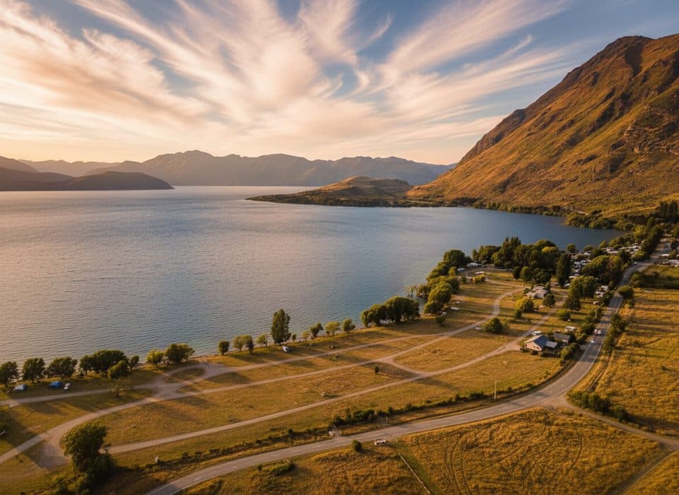
3.1 mi awayGlendhu BayClassic lakefront campground with big Wānaka views and easy lake accessCampground · Restroom
3.3 mi awayMotatapu TrackSteep hut-to-hut alpine traverse linking Wānaka and Arrowtown via Macetown.Challenging · 30.4 mi · 23 hr
3.3 mi awayFern Burn TrackRooty beech forest to a tussock hut with real backcountry feelModerate · 8.7 mi · 7 hr
3.4 mi awayGlendhu Bay Recreation ReserveLakeside day spot and trailhead with big views and birdlifeTrailhead · Parking
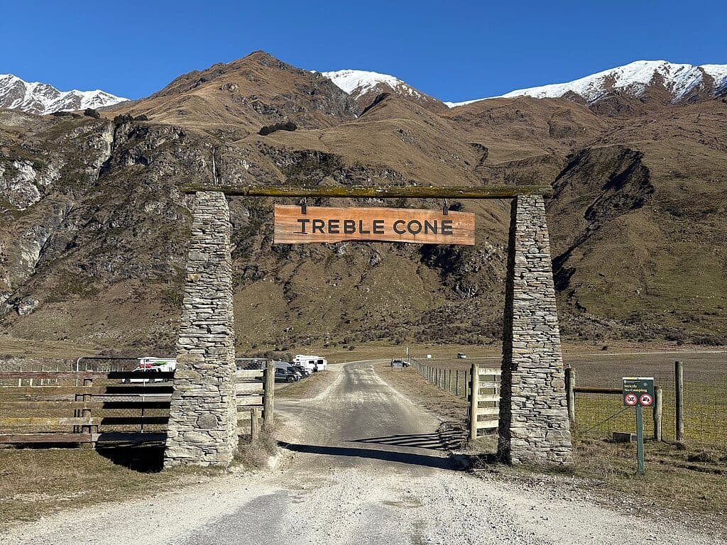
3.9 mi awayTreble Cone Ski AreaBig-mountain laps and Lake Wānaka views for confident skiersParking · Restroom
5.3 mi awayRoy's Peak TrackSteep switchbacks to Lake Wanaka’s most iconic ridgeline viewChallenging · 10 mi · 6.5 hr