Challenging

Motatapu Track

Steep hut-to-hut alpine traverse linking Wānaka and Arrowtown via Macetown.
Motatapu Track, Queenstown-Lakes District, New Zealand
Distance30.4 mi
Typical time23 hr
DifficultyChallenging
PetsNot allowed

Overview

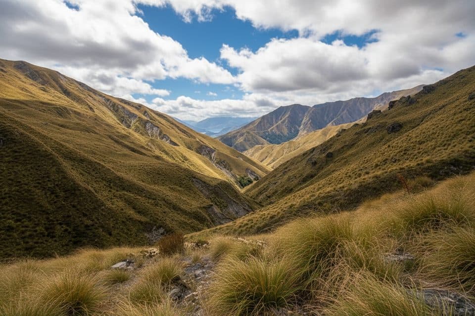
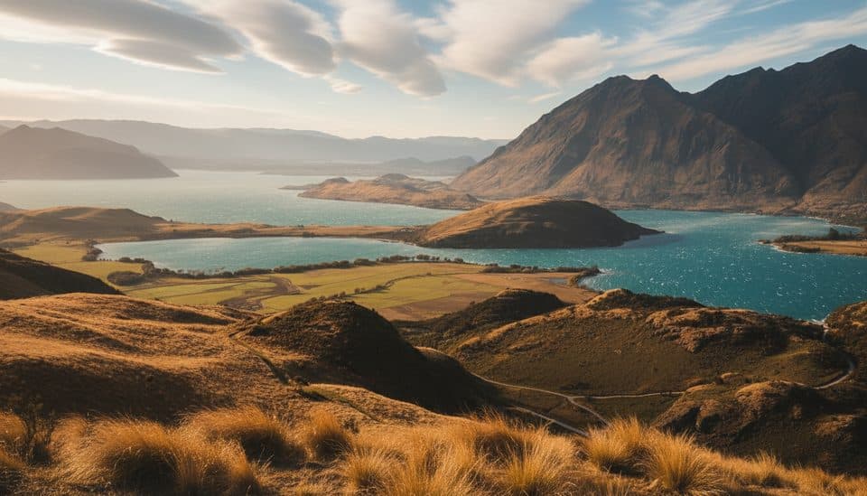
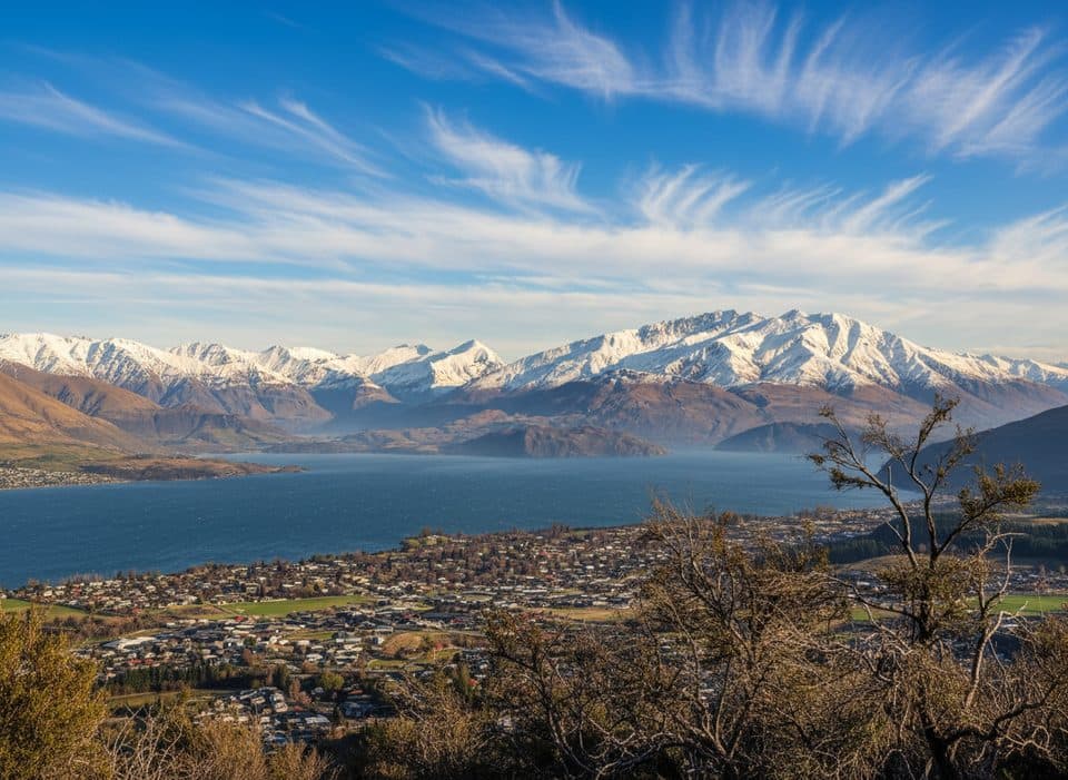
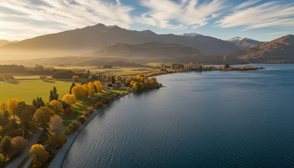
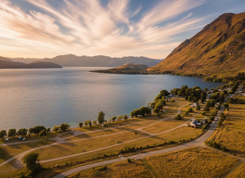
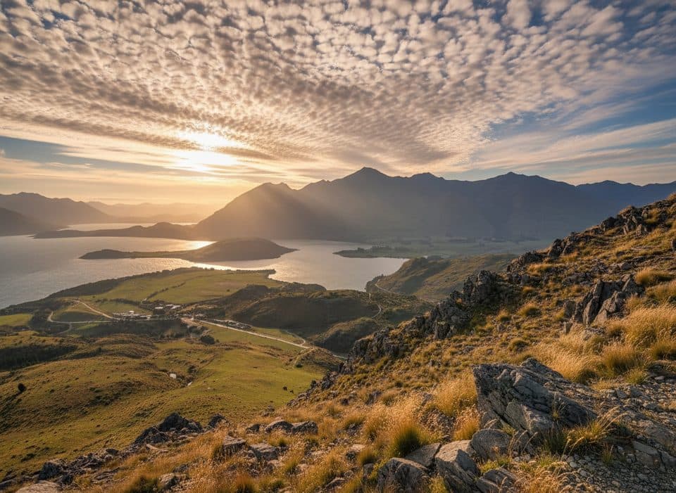
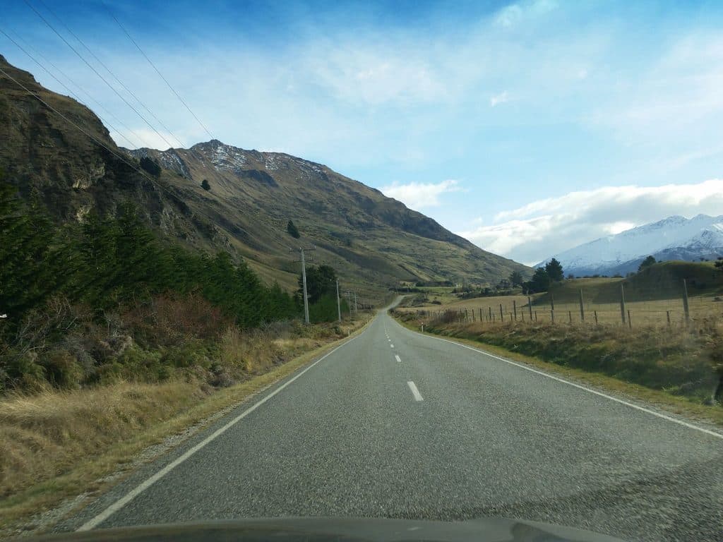
A demanding 3–4 day alpine traverse, the Motatapu Track links the Fern Burn near Wānaka with Macetown and Arrowtown across high, tussock-clad country. Expect constant climbing and descending, exposed sidles, and big valley views. Total distance is about 49 km (30.4 miles) one way, and it’s part of the Te Araroa. This is best for experienced, fit trampers who are comfortable with steep terrain and river travel.

Route breakdown (one way)

  • Fern Burn carpark → Fern Burn Hut — 7 km, 3–4 hr: Easy walking beside Fern Burn through shrubland and beech, then into upland tussock to a 12‑bunk hut.
  • Fern Burn Hut → Highland Creek Hut — 6 km, 3–5 hr: Over Jack Hall’s Saddle (1,275 m) with steep descents and narrow sidles to the 12‑bunk Highland Creek Hut.
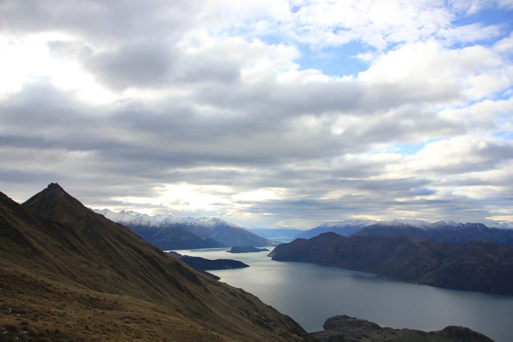
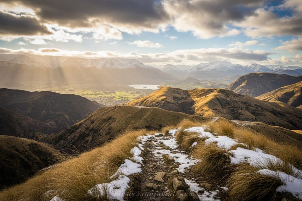
  • Highland Creek Hut → Roses Hut — 11 km, 6–8 hr: Big undulations, spur climbs, and steep tussock sidles with sweeping Motatapu Valley views; descend to the Motatapu River and 12‑bunk Roses Hut.
  • Roses Hut → Macetown — 10 km, 4–6 hr: Climb to Roses Saddle (~1,270 m) then drop to the Arrow. In low flows, following the river is faster; if high or discoloured, take the high sidle/water‑race track to Macetown.
  • Macetown → Arrowtown — 15 km, 3–4 hr: Follow the 4WD road with numerous Arrow River crossings. Alternate: the Big Hill Track (4–5 hr) avoids larger crossings but climbs over 1,000 m and is not recommended in adverse weather.

Huts and logistics

Three standard DOC huts—Fern Burn, Highland Creek, and Roses—each have 12 bunks and operate first‑come, first‑served. Bring hut tickets or a Backcountry Hut Pass (adult pricing typically around NZ$10/night; youth reduced). Water is limited on the tops, so fill at huts/streams and treat it. One‑way logistics are tricky: arrange a shuttle, two cars, or be prepared to walk the Macetown road. Much of the route crosses or borders private stations—stay on the marked route, close gates, and use stiles.

Best time to hike

Summer brings long daylight and often clear skies, but it can be very hot and dry; start early and carry ample water and sun protection. Wintry conditions can occur any time at elevation, and there’s avalanche terrain from roughly May to November. Rivers rise quickly after rain—delay travel if levels are up. Expect more walkers during the Te Araroa season.

Nature, geology, and history

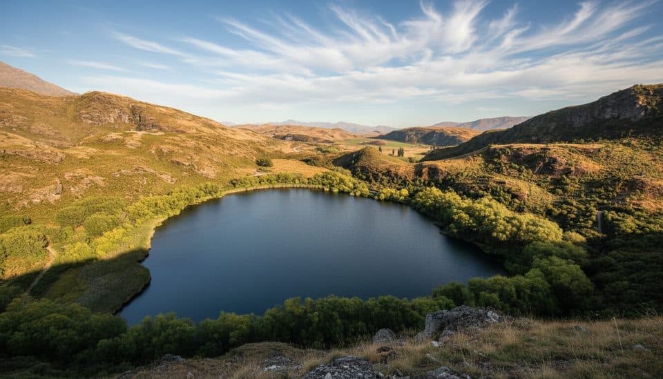
You’ll roam golden tussock basins and schist ridgelines typical of Central Otago’s high country. Underfoot is Otago/Haast Schist, which weathers into craggy outcrops and glittery mica planes. Keep an eye out for the New Zealand falcon (kārearea). Near the Arrow side, Macetown’s gold‑mining relics add character; with time and safe conditions, a side trip up the Rich Burn leads to the impressive Homeward Bound stamper battery.

Safety and rules

This is an exposed alpine tramp with sustained steep sidles—trekking poles help. Numerous unbridged river crossings (especially near Macetown) can be dangerous; never cross if high or discoloured. Carry warm, windproof layers year‑round. No fires. Drone use requires authorization. Respect stock and property at all times.

Pros

  • Three evenly spaced 12‑bunk huts simplify staging and water resupplies.
  • Macetown’s goldfield relics add rewarding side trips to a rugged alpine route.
  • Roses to Macetown offers river or high sidle options to match conditions.

Cons

  • Frequent Arrow River fords near the finish can halt progress after rain.
  • Steep, narrow sidles demand confidence with exposure and rough footing.
  • Limited water on the tops makes hot, calm days especially taxing.

Parking

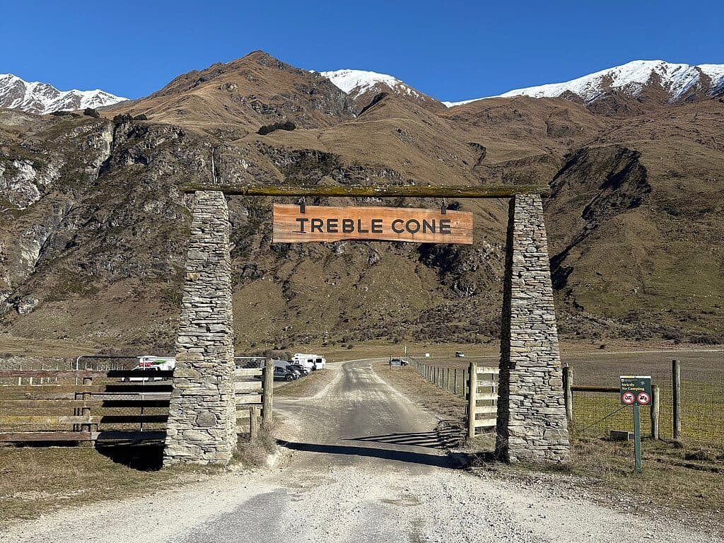
Park at Fern Burn carpark (2.5 km up Motatapu Rd from Mt Aspiring Rd near Glendhu Bay) or in Arrowtown at the start of the Macetown 4WD road; shuttle or two‑car setup recommended.

Caution

Exposed alpine terrain with steep sidles; numerous unbridged river crossings that rise rapidly; avalanche terrain May–Nov; limited water and intense summer sun; respect private land; no fires; drones by permit only.

The Parkwolf tour guide sitting on a phone mounted in a car

Parkwolf Tour Guide

Like a tour guide in your car.

Bring Queenstown-Lakes District trail research into the car, with offline maps and stories that play as you drive.Download Parkwolf on the App Store