Parking
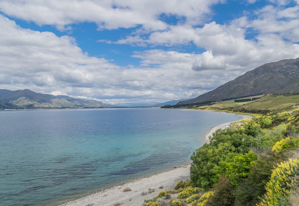
Signed DOC car park on unsealed Timaru Creek Road at the Lake Hāwea-side start of the route. Parking is limited; keep the road and private access clear.
Queenstown-Lakes District, New Zealand, OT
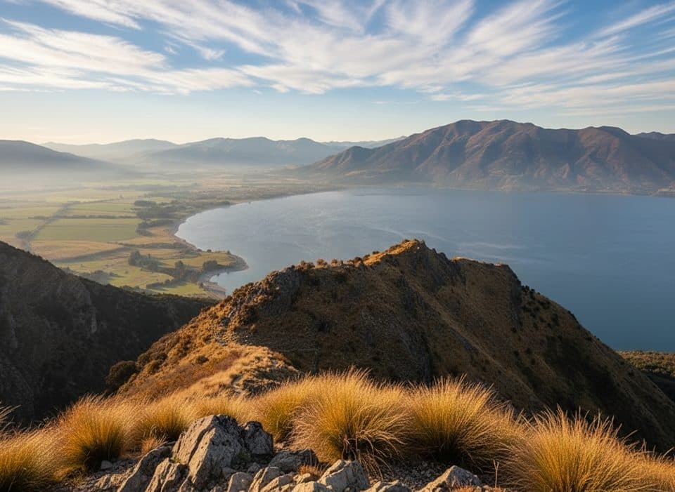
Steep 5.1-mile hut out-and-back with huge Lake Hāwea views
Overview
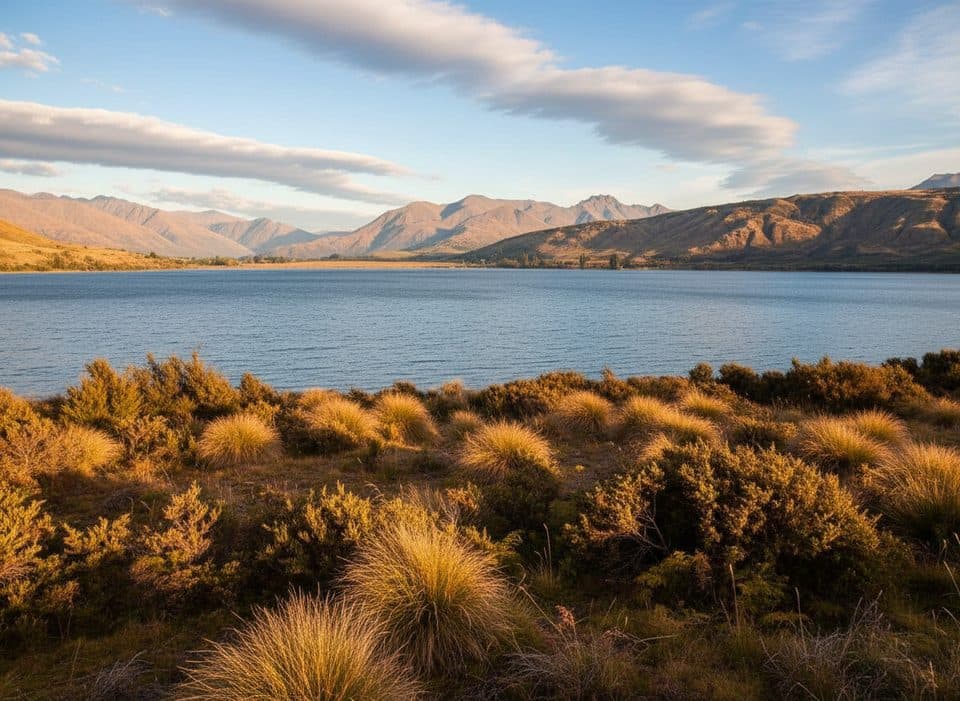
This is a steep out-and-back from the DOC's Timaru Creek Road car park to Pakituhi Hut on the Lake Hāwea side of the Breast Hill/Te Araroa route. The mapped corridor is 4.10 km one way to the 8-bunk hut, or about 8.20 km (5.1 miles) for the full visitor round trip. Pakituhi Hut is the turnaround represented by this trail; the Breast Hill summit is an optional separate extension and is not included in this line or distance.
Map & elevation
Plan your hike

The highest, rockiest slopes around here are a summer buffet for grizzly bears.
Queenstown-Lakes District Tour Guide
Parkwolf is a GPS audio tour guide for Queenstown-Lakes District, New Zealand. As you drive, it chimes in with what’s ahead: hidden gems, upcoming stops, history, geology, and wildlife, right through your car’s speakers.
See the Queenstown-Lakes District audio tourRecorded for this trailhead
Timaru Creek: A Steep Climb with Huge Lake Views“You're approaching the Timaru Creek car park, which is the access for a challenging but rewarding hike.”
Plays as you drive up to this trailhead in the Parkwolf Queenstown-Lakes District Tour Guide.
More stories near here in the app
“Fantastic app with many points of information… It’s great to just turn on while you’re driving and it gives you an audio tour of the national Park. We love it!!!!”


Trail guide
The track climbs persistently through steep switchbacks before reaching the high ridge and the hut spur. Expect a demanding, exposed backcountry walk with narrow sections and steep drop-offs. Allow roughly 5–7 hours for the hut out-and-back, depending on conditions and fitness. The full through-route continues beyond this experience and has additional river-crossing and navigation hazards.
Start at the signed DOC car park on unsealed Timaru Creek Road, on the Lake Hāwea side of the route. Parking is limited, so do not obstruct the road or nearby private access. Pakituhi Hut has 8 bunks, a long-drop toilet, and untreated water; a hut pass or ticket is required. Carry plenty of water because supplies are limited and can run low in summer.
This is an experienced-tramper route. The upper track is narrow and exposed, and the area can be hot and dry in summer, snowy in winter, and subject to strong wind and avalanche terrain. Avoid poor weather and heavy rain, carry warm and waterproof layers, navigation equipment and a distress beacon, and expect little or no mobile coverage. The full Breast Hill Track beyond this hut route includes unbridged river crossings and should not be attempted without checking conditions and having an appropriate plan.
Choose this for a steep hut outing with large Lake Hāwea and Southern Alps views. It is not a casual walk and is unsuitable for hikers who are uncomfortable with exposure, steep terrain, or self-reliant backcountry travel.
Wildlife
 189 sightingsKeaMost seen around 5 PMSighting map
 18 sightingsKākāMost seen around 6 PMSighting map
 195 sightingsKererūMost seen around 10 AMSighting map
 48 sightingsWekaMost seen around 6 PMSighting map
 239 sightingsTūīMost seen around 8 AMSighting map
 97 sightingsBellbirdMost seen around 6 AMSighting map
Sighting maps show where each species has been reported across Queenstown-Lakes District. Wildlife moves, so no sighting is guaranteed.
Keep exploring
 ChallengingIsthmus Peak Track15.9 km · 6 hr · 14.8 km awayA steep, exposed climb to big views over both Lake Wānaka and Lake Hāwea—bring strong legs, water and warm layers.
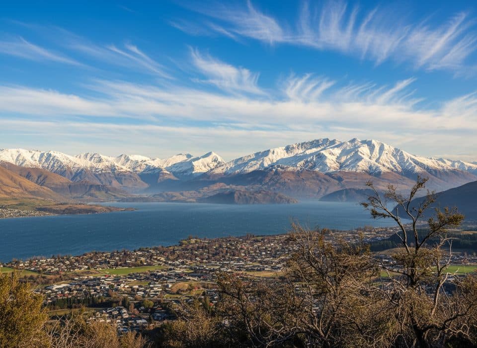 ModerateMount Iron Track4.5 km · 1.5 hr · 17.7 km awayShort local loop to 360 degree views over Wanaka and the ranges
 ChallengingRoy's Peak Track16.1 km · 5.5 hr · 21.9 km awaySteep switchbacks to Lake Wanaka’s most iconic ridgeline view
Parkwolf’s Queenstown-Lakes District ranking

The audio tour guide for the drive, plus offline maps, trails, and wildlife heatmaps for when the signal drops.