Parking
The route starts across a stile at the north end of Albert Town Campground on SH6. A dedicated public day-use parking arrangement was not confirmed.
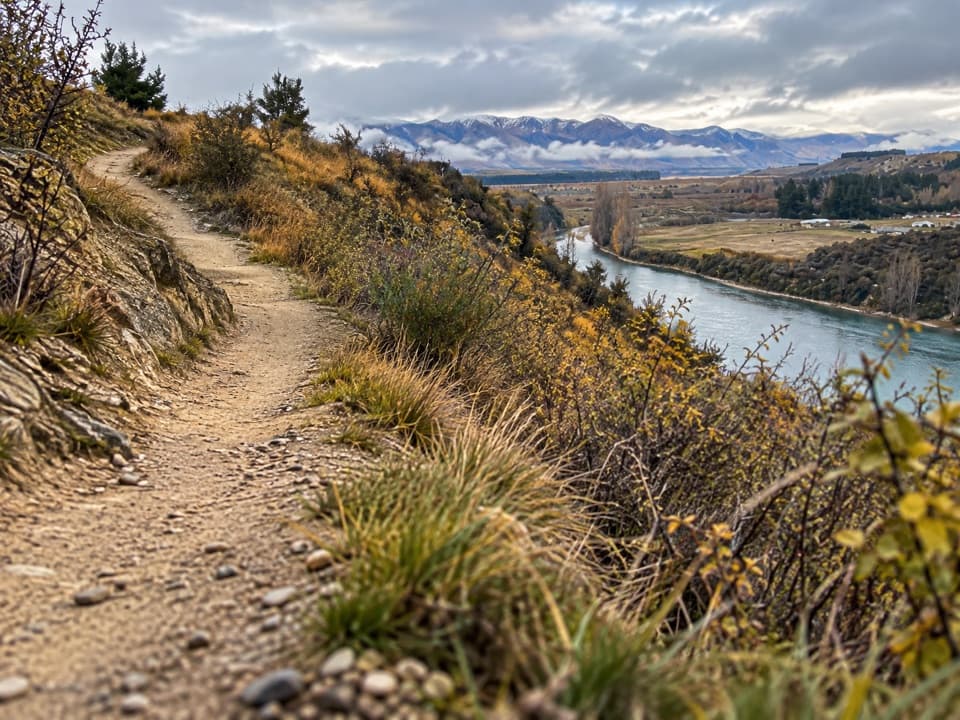
Queenstown-Lakes District, New Zealand, OT
River views from a signed loop through tussock and scrub.
Overview
Map & elevation
Plan your hike

The highest, rockiest slopes around here are a summer buffet for grizzly bears.
Queenstown-Lakes District Tour Guide
Parkwolf is a GPS audio tour guide for Queenstown-Lakes District, New Zealand. As you drive, it chimes in with what’s ahead: hidden gems, upcoming stops, history, geology, and wildlife, right through your car’s speakers.
See the Queenstown-Lakes District audio tourRecorded for this trailhead
Albert Town Campground and Riverside Walks“You're nearing Albert Town's riverside campground, spread beside the Clutha and Hāwea Rivers. It's a simple, unpowered camping base, with no drinking water or showers; sites are first come, first served.”
Plays as you drive up to this trailhead in the Parkwolf Queenstown-Lakes District Tour Guide.
More stories near here in the app
“Fantastic app with many points of information… It’s great to just turn on while you’re driving and it gives you an audio tour of the national Park. We love it!!!!”


Trail guide
Deans Bank Track is an 11.5 km walking and mountain-biking loop on public conservation land between Albert Town and Dublin Bay, following the upper slopes above the Clutha River/Mata-Au. It is travelled in one signed direction, not as a point-to-point walk. Start at the stile at the north end of Albert Town Campground and allow 2.5 to 3 hours on foot. Published route traces vary: some map about 10.5 km and other listings give 10.8 to 11 km, so use 11.5 km as the full-loop planning figure. The separate walking track down to Dublin Bay is not part of this circuit.
The singletrack winds through matagouri and tussock above the river. Most of it is open; a short section runs beside the edge of a pine plantation and gives a bit of shade. Open stretches look out over the Clutha and surrounding peaks. For a photo, frame the river from the upper slope with a little of the track or scrub in front so the view still feels tied to the walk.
Walkers and mountain bikers share this one-way route, so follow the direction signs. The track has berms, tight corners and rock features aimed at intermediate riders, with easier riding lines around some obstacles. Bike Wānaka designed the track and local volunteers formed it. This suits a longer outing for river views and varied scrub; it is not a short, flat riverbank stroll.
Wildlife
 194 sightingsKeaMost seen around 5 PMSighting map
 18 sightingsKākāMost seen around 6 PMSighting map
 198 sightingsKererūMost seen around 10 AMSighting map
 53 sightingsWekaMost seen around 6 PMSighting map
 245 sightingsTūīMost seen around 8 AMSighting map
 98 sightingsBellbirdMost seen around 6 AMSighting map
Sighting maps show where each species has been reported across Queenstown-Lakes District. Wildlife moves, so no sighting is guaranteed.
Keep exploring
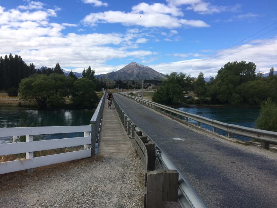 ModerateUpper Clutha River Track18.5 km · 5.5 hr · 1 km awayA long riverside traverse with gold-mining history at Reko’s Point.
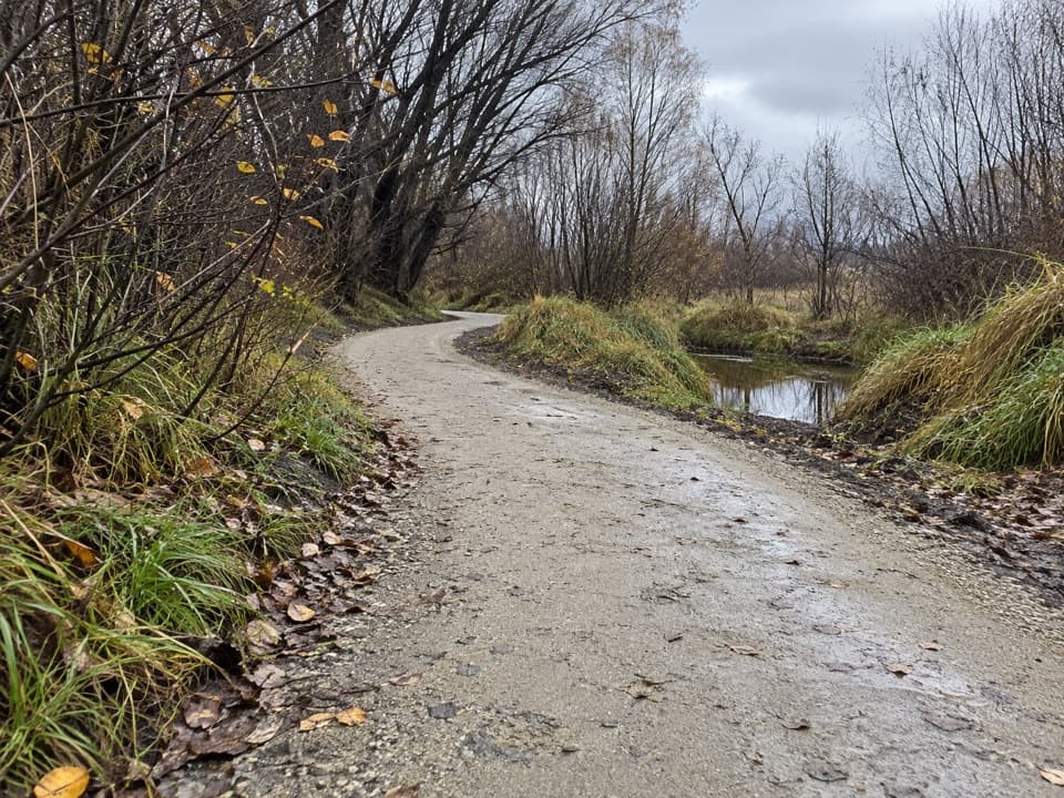 EasyCameron Creek Track1.5 km · 30 min · 1.1 km awayA short riverside link from Albert Town to Monteith Road
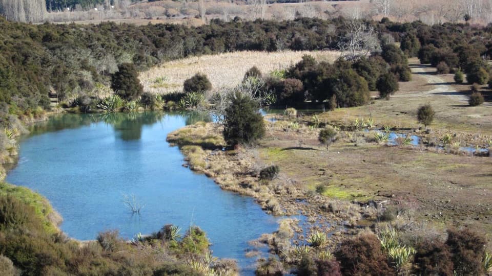 EasyButterfields Wetland Walk2.5 km · 45 min · 1.2 km awayA short wetland loop among grassland, kānuka and mountain views.
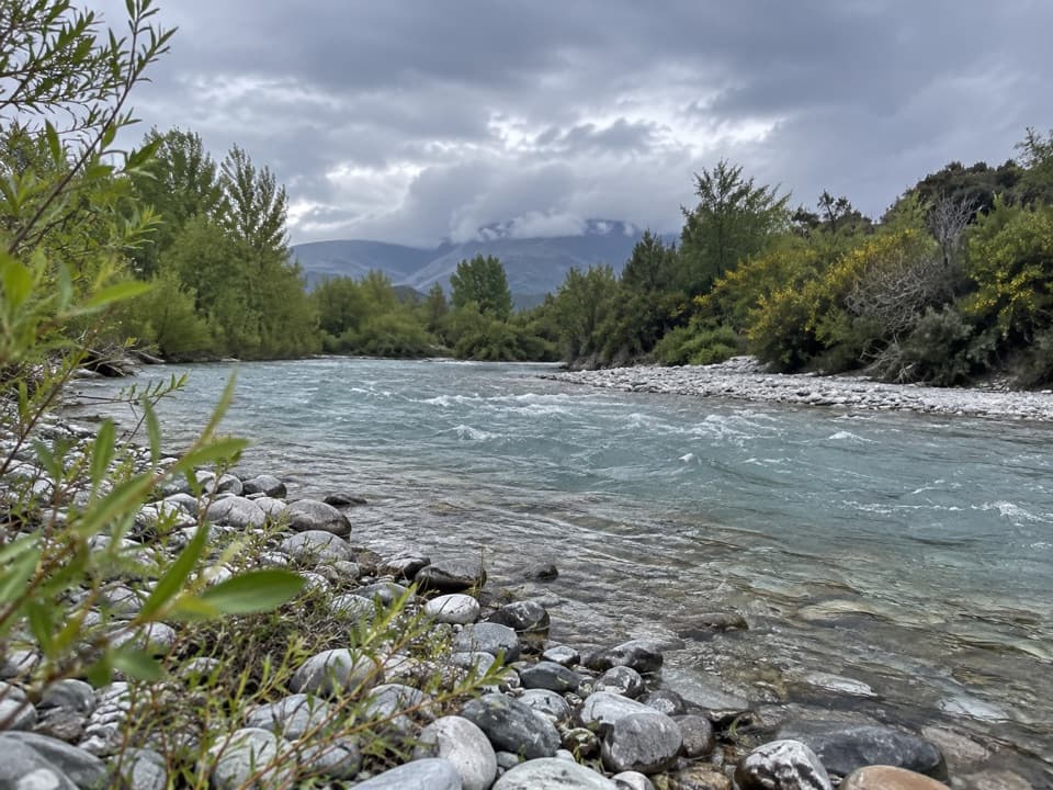 EasyHāwea River Track9.4 km · 3 hr · 1.4 km awayAn easy riverside walk with the Hāwea Wave midway.
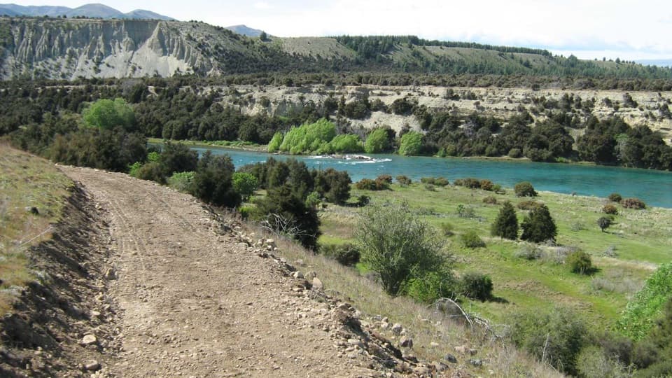 ModerateNewcastle Track12 km · 3 hr · 1.4 km awayA long, undulating river track from Hāwea to Kane Road.
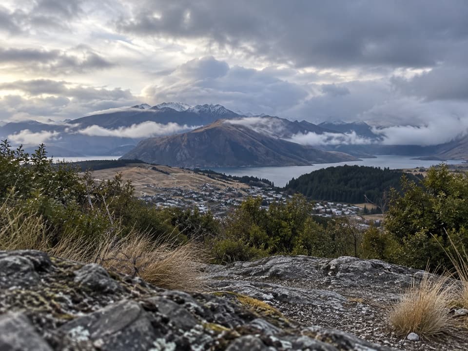 ModerateLittle Mount Iron Track2.6 km · 1.3 hr · 2.2 km awayA poled hill crossing with open views from a smaller summit.
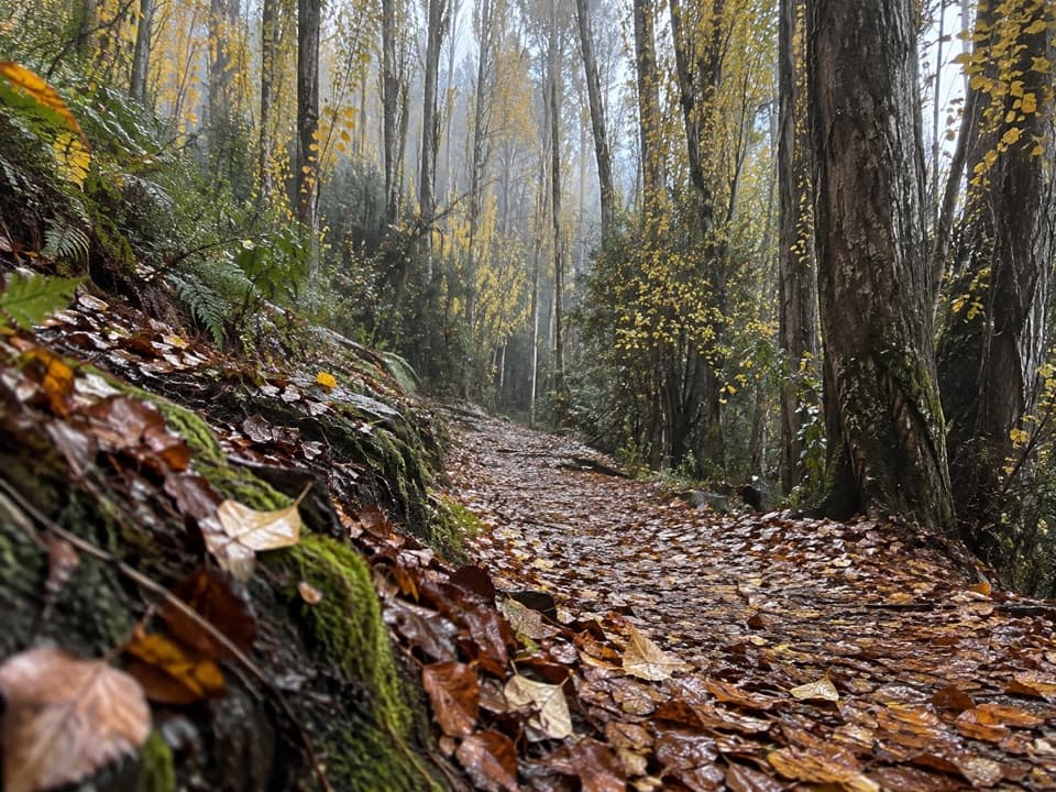 EasyOutlet Track3 km · 1 hr · 3 km awayA shaded, one-way river walk from the lake outlet to Albert Town.
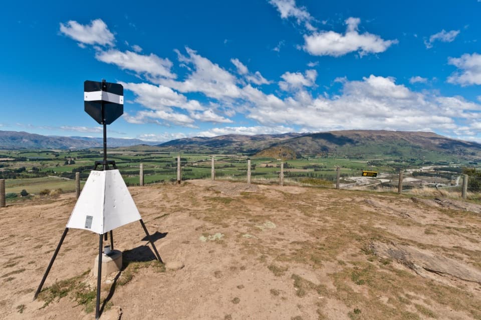 ModerateMount Iron Track4.5 km · 1.8 hr · 3.3 km awayA short, steep loop with big Wānaka basin views
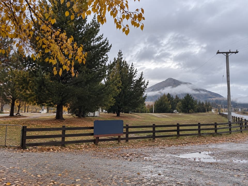 Campground · 0.2 km awayAlbert Town CampgroundA self-sufficient riverside camp beside two rivers near Wānaka.
 Sight · 2.9 km awayWānaka Lavender FarmA garden stroll with farm animals, honey tasting and lavender treats.
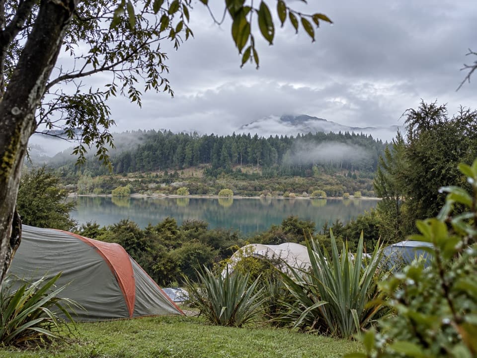 Campground · 3.2 km awayOutlet Camp WānakaRoomy lakeside pitches, with a shared kitchen and cabin options.
 Sight · 3.2 km awayPuzzling WorldA 3-D maze and illusion rooms built for playful confusion.
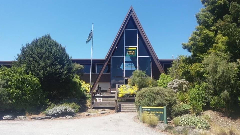 Visitor center · 4.2 km awayTititea/Mount Aspiring National Park Visitor CentreLocal DOC advice, maps and safety checks before the trails.
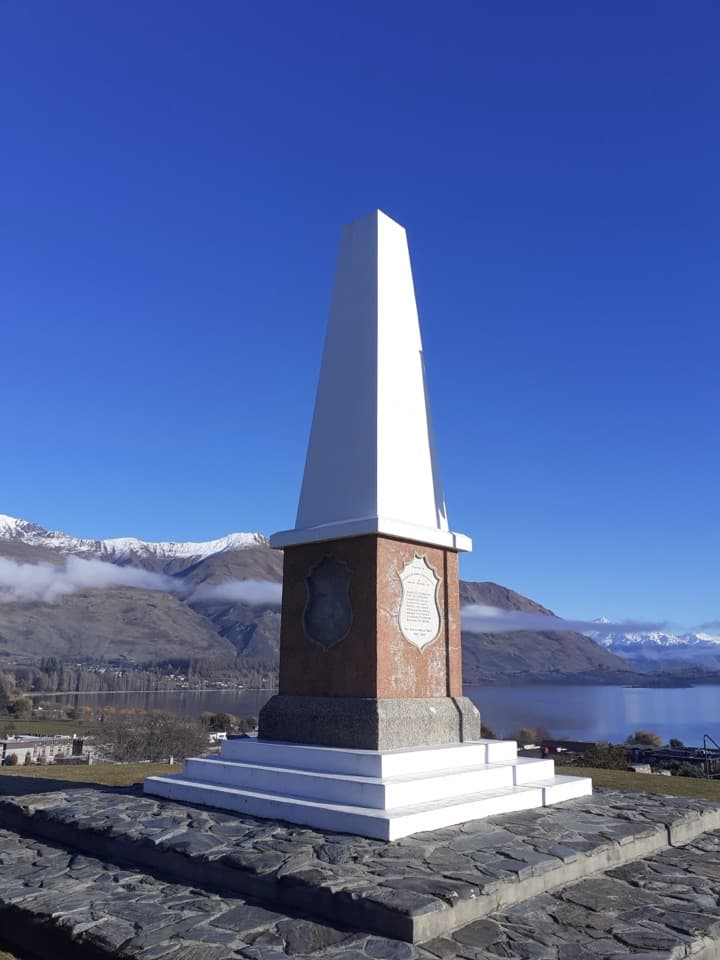 Sight · 4.5 km awayWānaka War MemorialA memorial and a wide look over Lake Wānaka.
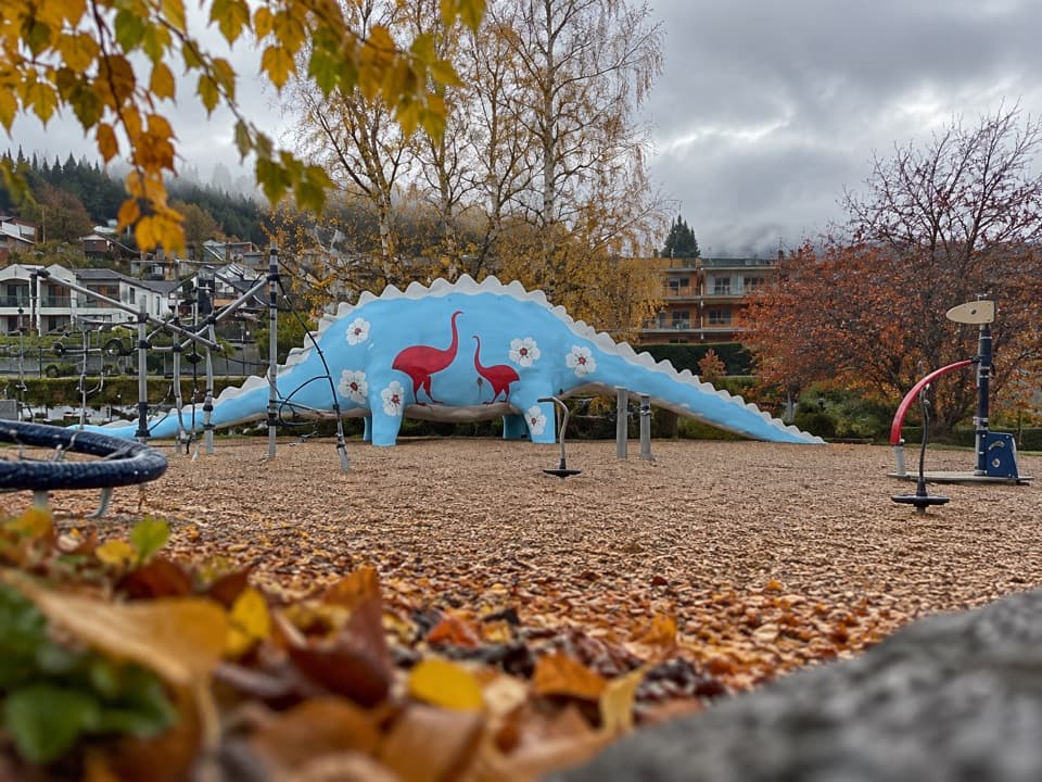 Sight · 4.7 km awayWānaka Dinosaur ParkA dinosaur slide makes this lakeside playground an easy family stop.
 Visitor center · 4.7 km awayWānaka isite Visitor Information CentreGet local walking advice, maps and bookings in one stop.
Parkwolf’s Queenstown-Lakes District ranking

The audio tour guide for the drive, plus offline maps, trails, and wildlife heatmaps for when the signal drops.





