Parking
At the Albert Town end, follow the unsealed access road on the right after crossing the Albert Town bridge and park near the swing bridge on the campground’s east side. The other access car park is on Domain Road near Cemetery Road in Hāwea.
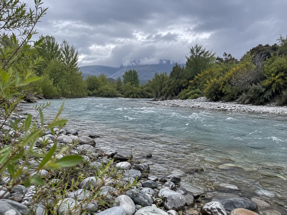
Queenstown-Lakes District, New Zealand, OT
An easy riverside walk with the Hāwea Wave midway.
Overview
Map & elevation
Plan your hike

The highest, rockiest slopes around here are a summer buffet for grizzly bears.
Queenstown-Lakes District Tour Guide
Parkwolf is a GPS audio tour guide for Queenstown-Lakes District, New Zealand. As you drive, it chimes in with what’s ahead: hidden gems, upcoming stops, history, geology, and wildlife, right through your car’s speakers.
See the Queenstown-Lakes District audio tourRecorded for this trailhead
Albert Town Campground and Riverside Walks“You're nearing Albert Town's riverside campground, spread beside the Clutha and Hāwea Rivers. It's a simple, unpowered camping base, with no drinking water or showers; sites are first come, first served.”
Plays as you drive up to this trailhead in the Parkwolf Queenstown-Lakes District Tour Guide.
More stories near here in the app
“Fantastic app with many points of information… It’s great to just turn on while you’re driving and it gives you an audio tour of the national Park. We love it!!!!”


Trail guide
Hāwea River Track is an easy, shared-use point-to-point walk from the east side of Albert Town campground to the Domain Road access near Lake Hāwea. The mapped track is about 9.4 km (5.9 mi) one way and takes around three hours. It crosses the river, winds through kānuka and open flats, then follows the riverside again. Some route listings give 12–14 km for an Albert Town-to-dam itinerary; the current track description ends at Domain Road, so this route follows that mapped endpoint.
From the campground's eastern side, a ramp leads to the Hāwea River swing bridge. After the crossing, the path meanders across shrubland and open flats before returning to the river. It is easy country, but this is a shared walking and cycling track. Stay alert for riders. The route is point-to-point, so arrange transport between the Albert Town and Domain Road access points.
Near Camp Hill Road, roughly halfway along, you can see the Hāwea Wave, a standing river wave used by surfers and kayakers. It is a good place to pause and watch the water before continuing toward Hāwea.
Wildlife
 194 sightingsKeaMost seen around 5 PMSighting map
 18 sightingsKākāMost seen around 6 PMSighting map
 198 sightingsKererūMost seen around 10 AMSighting map
 53 sightingsWekaMost seen around 6 PMSighting map
 245 sightingsTūīMost seen around 8 AMSighting map
 98 sightingsBellbirdMost seen around 6 AMSighting map
Sighting maps show where each species has been reported across Queenstown-Lakes District. Wildlife moves, so no sighting is guaranteed.
Keep exploring
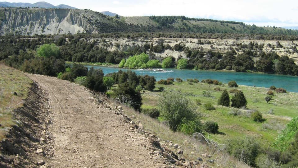 ModerateNewcastle Track12 km · 3 hr · At the trailheadA long, undulating river track from Hāwea to Kane Road.
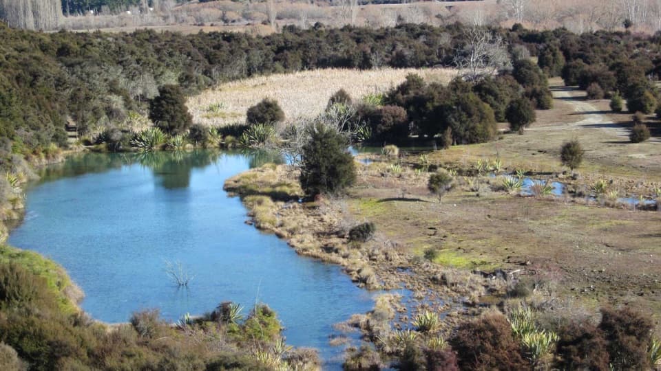 EasyButterfields Wetland Walk2.5 km · 45 min · 0.2 km awayA short wetland loop among grassland, kānuka and mountain views.
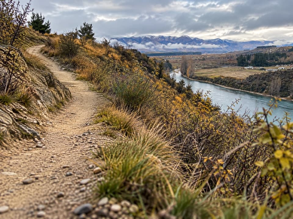 ModerateDeans Bank Track11.5 km · 2.8 hr · 1.4 km awayRiver views from a signed loop through tussock and scrub.
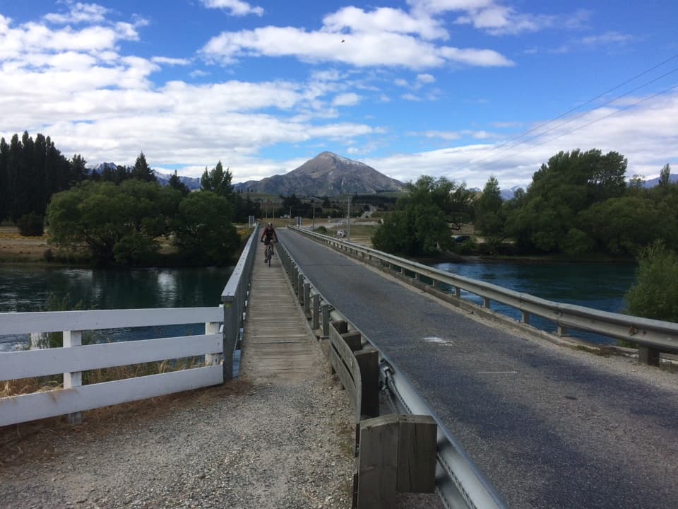 ModerateUpper Clutha River Track18.5 km · 5.5 hr · 1.5 km awayA long riverside traverse with gold-mining history at Reko’s Point.
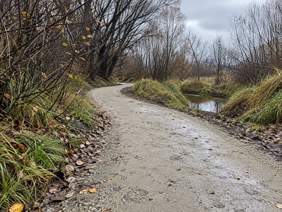 EasyCameron Creek Track1.5 km · 30 min · 1.8 km awayA short riverside link from Albert Town to Monteith Road
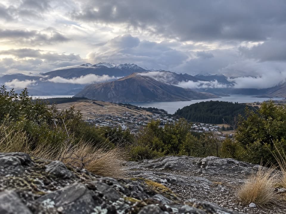 ModerateLittle Mount Iron Track2.6 km · 1.3 hr · 3.5 km awayA poled hill crossing with open views from a smaller summit.
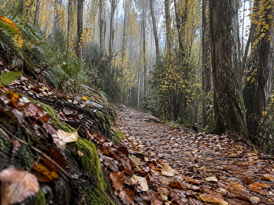 EasyOutlet Track3 km · 1 hr · 4.1 km awayA shaded, one-way river walk from the lake outlet to Albert Town.
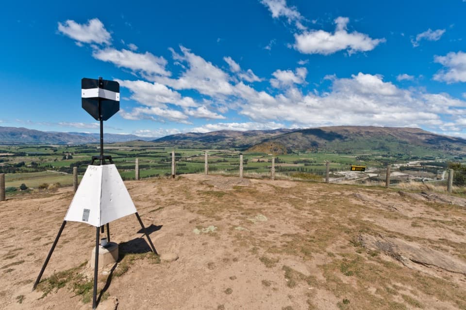 ModerateMount Iron Track4.5 km · 1.8 hr · 4.7 km awayA short, steep loop with big Wānaka basin views
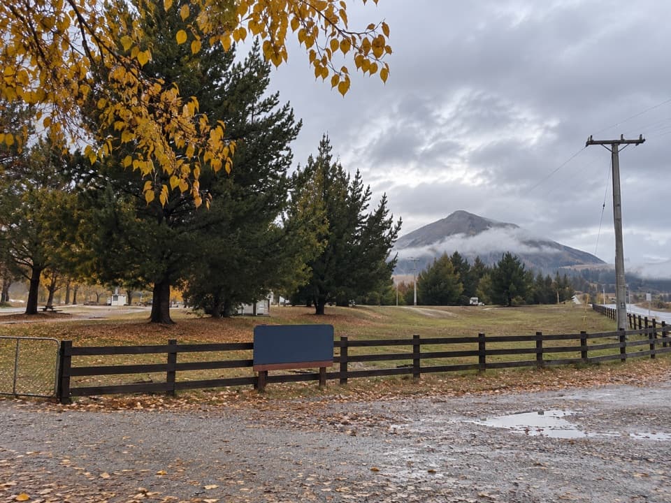 Campground · 1.4 km awayAlbert Town CampgroundA self-sufficient riverside camp beside two rivers near Wānaka.
 Sight · 3.8 km awayWānaka Lavender FarmA garden stroll with farm animals, honey tasting and lavender treats.
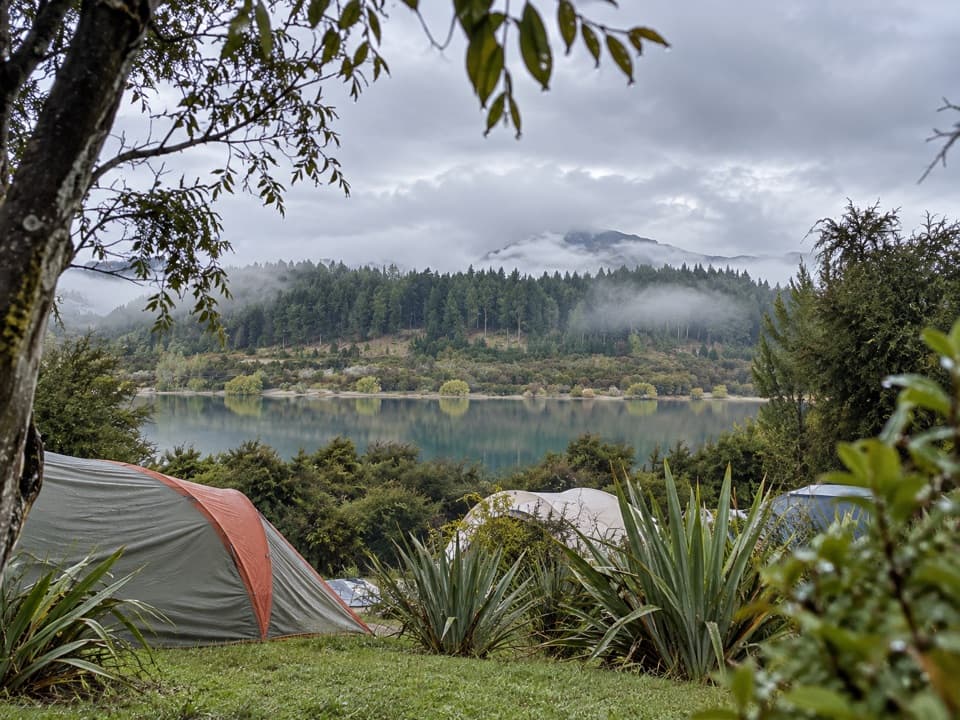 Campground · 4.2 km awayOutlet Camp WānakaRoomy lakeside pitches, with a shared kitchen and cabin options.
 Sight · 4.5 km awayPuzzling WorldA 3-D maze and illusion rooms built for playful confusion.
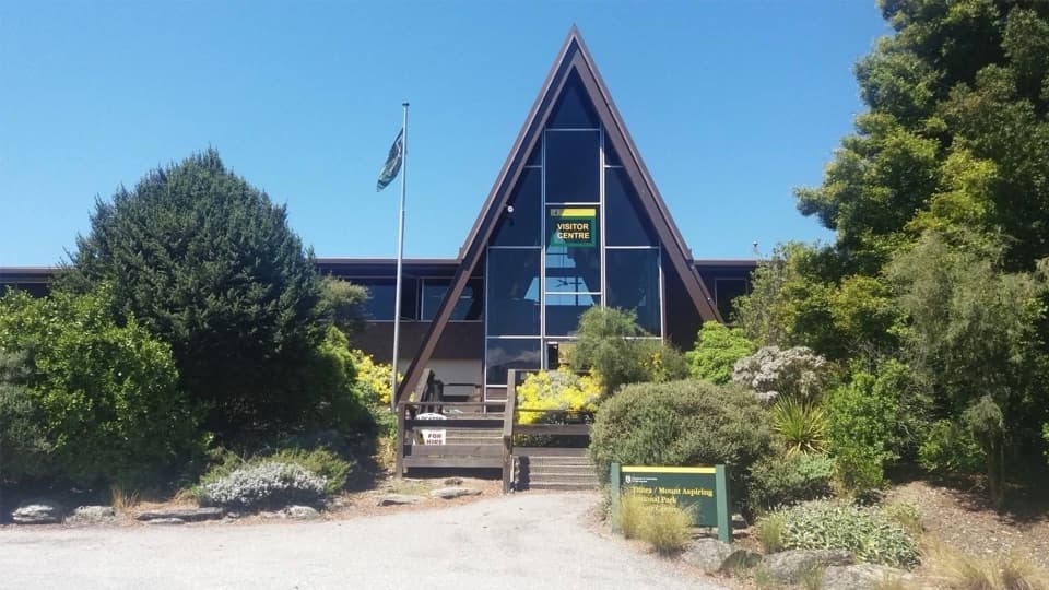 Visitor center · 5.6 km awayTititea/Mount Aspiring National Park Visitor CentreLocal DOC advice, maps and safety checks before the trails.
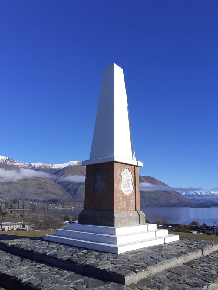 Sight · 5.9 km awayWānaka War MemorialA memorial and a wide look over Lake Wānaka.
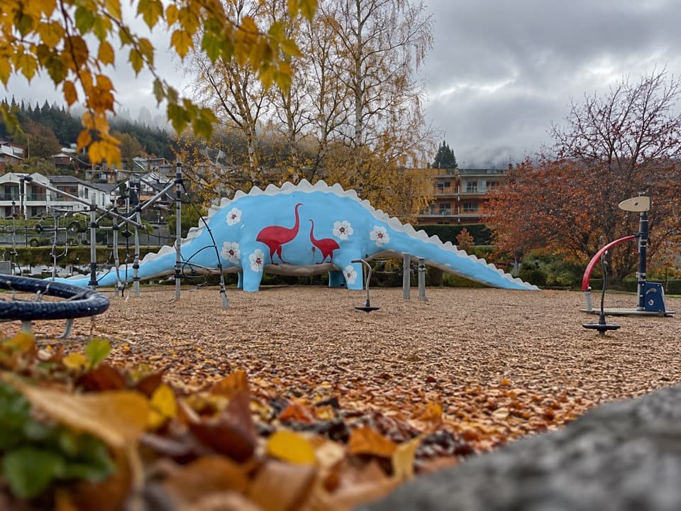 Sight · 6 km awayWānaka Dinosaur ParkA dinosaur slide makes this lakeside playground an easy family stop.
 Visitor center · 6.1 km awayWānaka isite Visitor Information CentreGet local walking advice, maps and bookings in one stop.
Parkwolf’s Queenstown-Lakes District ranking

The audio tour guide for the drive, plus offline maps, trails, and wildlife heatmaps for when the signal drops.





