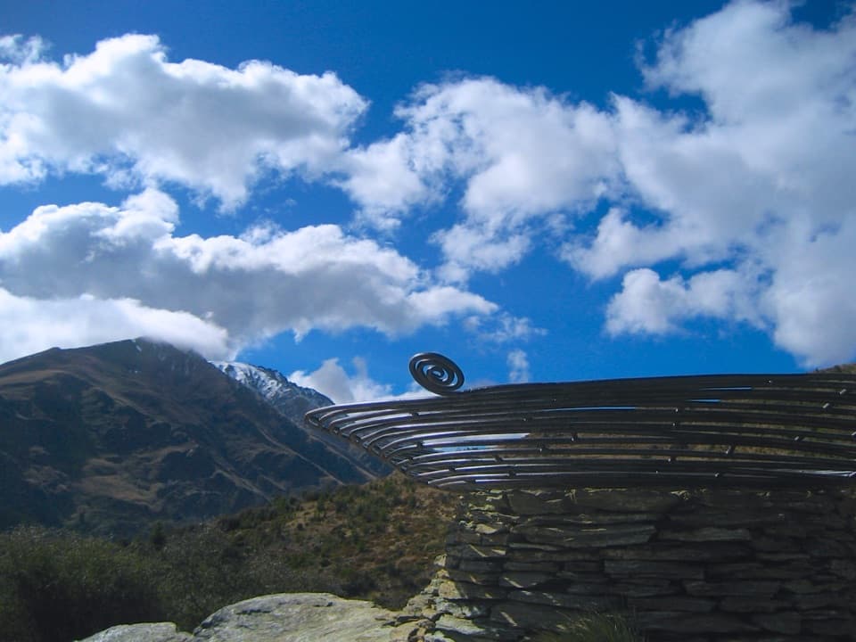
Parking
Start at Roys Peak car park on Wānaka–Mount Aspiring Road, about 6 km west of Wānaka. Free car and campervan parking can fill; do not park on the road edge.

#2 of 155 trails in Queenstown-Lakes District
Queenstown-Lakes District, New Zealand, OT
Hard climbing earns Lake Wānaka and the Southern Alps in one sweep.
Photo: Jingwei Ke, CC0, via Wikimedia Commons
Overview
Roys Peak Track is a hard out-and-back from Roys Peak car park to the 1,578 m summit above Lake Wānaka. The full trip is 16 km return, with more than 1,200 m of climbing, and takes about 5–6 hours. Nearly all of the ascent comes in one sustained climb, then you descend the same way. Choose it for a long mountain day and wide lake-and-Alps views, not a gentle leg-stretcher. The famous photo lookout is about 30 minutes before the summit; it is a great view, but it is not the top.
 Parkwolf’s verdictIs this the hike for you?
Map & elevation
Plan your hike

The highest, rockiest slopes around here are a summer buffet for grizzly bears.
Queenstown-Lakes District Tour Guide
Parkwolf is a GPS audio tour guide for Queenstown-Lakes District, New Zealand. As you drive, it chimes in with what’s ahead: hidden gems, upcoming stops, history, geology, and wildlife, right through your car’s speakers.
See the Queenstown-Lakes District audio tourRecorded for this trailhead
Roys Peak Trailhead“Up ahead is the Roys Peak trailhead, for wide views over Lake Wānaka and the Southern Alps.”
Plays as you drive up to this trailhead in the Parkwolf Queenstown-Lakes District Tour Guide.
More stories near here in the app
“Fantastic app with many points of information… It’s great to just turn on while you’re driving and it gives you an audio tour of the national Park. We love it!!!!”


Trail guide
The main track climbs in zigzags from the car park. Its first kilometre is especially steep, then the grade eases briefly in places without turning into an easy walk. The wide, exposed track crosses grazed farmland before reaching tussock higher up, and Lake Wānaka opens out as you gain height. Stay on the marked line rather than cutting switchbacks or crossing the surrounding land.
A short spur reaches the narrow rocky knoll used for the classic photo of a person above the lake. Take a few minutes here: frame someone on the knoll with the water behind them, then look back across the broader mountain view. There is a toilet near this viewpoint. If the summit climb is more than you want to take on, this is a sensible place to turn around, though it still makes a substantial walk.
From the lookout, the summit track continues for roughly another 1.5 km through tussock slopes. At 1,578 m, the top gives you a broader panorama over Lake Wānaka and the Southern Alps, including views toward Mount Aspiring. Expect a concrete platform and communications equipment on the summit, so it feels more like a working high point than a remote wilderness knob.
The mapped Roys Peak route ends here and returns to the car park on the same track. The Skyline Track continues beyond the summit toward Mount Alpha, but it is a separate, more demanding point-to-point outing with different transport and planning.
This is a fitness test more than a technical scramble: the path is obvious, but the uphill is long and the descent repeats it in reverse. The ground can become slick when saturated, and tired legs have to manage the same steep slope on the way down. There is no shade or water along the route. In summer it can be very hot, so start early enough to avoid the hottest part of the day and carry all the water you need.
The upper track is exposed, and the summit sits high enough for alpine conditions to matter. Snow, ice and frozen ground can persist through winter and into spring; the upper route is avalanche terrain above 1,000 m. DOC warns that conditions can change quickly. Treat this as a serious mountain walk in cold-season conditions, even though the standard route does not require technical climbing.
The trailhead is Roys Peak car park on Wānaka–Mount Aspiring Road, about 6 km west of Wānaka. Parking for cars and campervans is free, but the lot can fill; do not park on the road edge. There is a toilet at the car park as well as the one near the photo viewpoint.
The lower route crosses private farmland with livestock. Use the marked access, go through gates and stiles as directed, and leave stock and property undisturbed. The trail’s open access depends on respecting that route; shortcuts across the paddocks are not part of the hike.
Wildlife
 190 sightingsKeaMost seen around 5 PMSighting map
 18 sightingsKākāMost seen around 6 PMSighting map
 197 sightingsKererūMost seen around 10 AMSighting map
 51 sightingsWekaMost seen around 6 PMSighting map
 243 sightingsTūīMost seen around 8 AMSighting map
 97 sightingsBellbirdMost seen around 6 AMSighting map
Sighting maps show where each species has been reported across Queenstown-Lakes District. Wildlife moves, so no sighting is guaranteed.
Keep exploring
ChallengingSkyline Track23 km · 10.5 hr · At the trailheadA full-day ridge traverse from Roys Peak to Cardrona Road.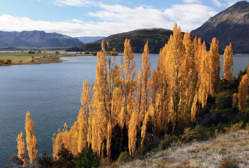 ModerateGlendhu Bay Track12.5 km · 3.5 hr · 2.5 km awayA long lake walk with a summer swim stop at Damper Bay.
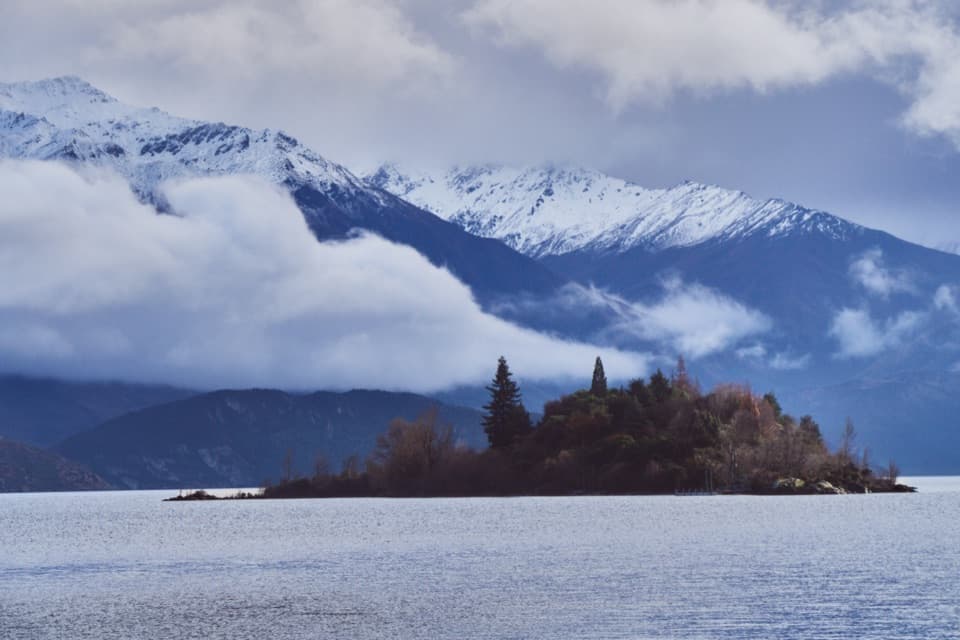 EasyRuby Island Walk0.5 km · 20 min · 2.7 km awayA short island loop with lake views and a lively cabaret past.
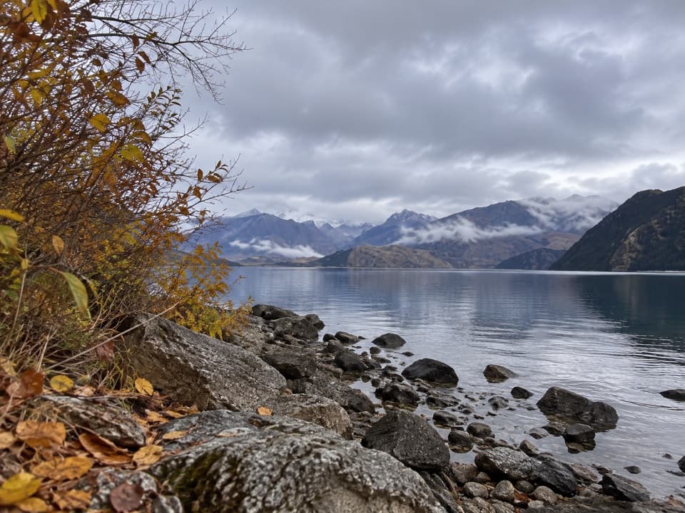 EasyBeacon Point Walk1.5 km · 30 min · 4.2 km awayEasy lakeside walking from Bremner Bay to Beacon Point.
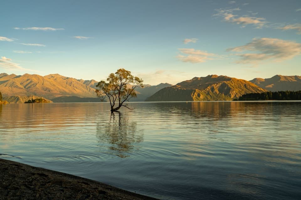 EasyWaterfall Creek Track5 km · 1.5 hr · 4.8 km awayEasy lakeside miles lead to the Wānaka Tree and Waterfall Creek
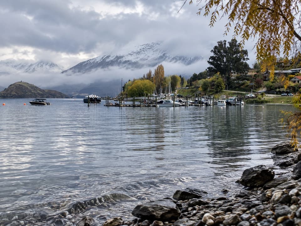 EasyEely Point Walk4.5 km · 1 hr · 5.5 km awayEasy lakeside walk from town to a sheltered boating and picnic point.
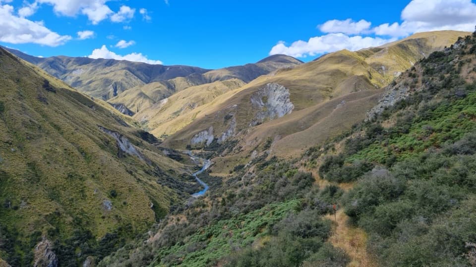 ChallengingMotatapu Track49 km · 1 day · 6.6 km awayA 49 km crossing through tussock, beech forest and gold country.
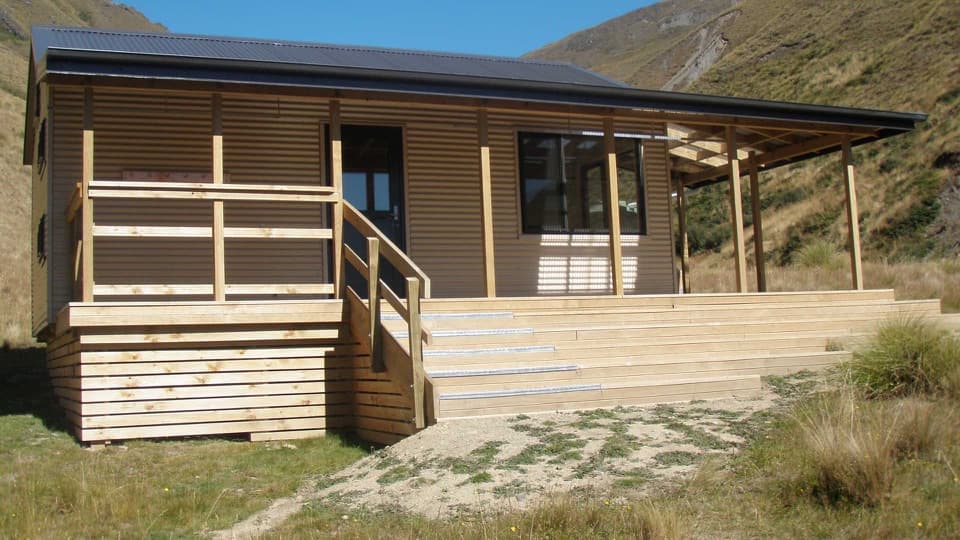 ChallengingFern Burn Hut Track14 km · 7 hr · 6.7 km awayA river valley climb to Fern Burn Hut and open tussock.
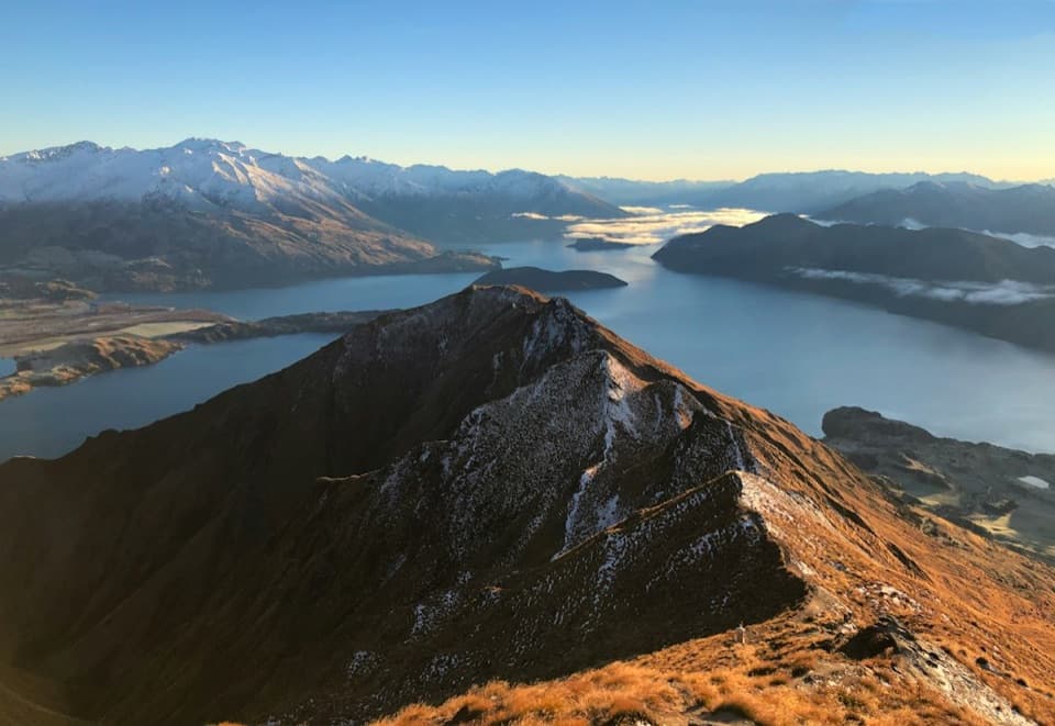 Sight · 2.5 km awayRoys Peak LookoutLake Wānaka’s famous ridge photo takes a serious uphill slog.
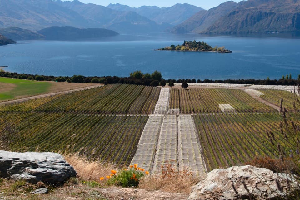 Sight · 3.5 km awayRippon VineyardBook a small tasting for Wānaka wine and Ruby Island views.
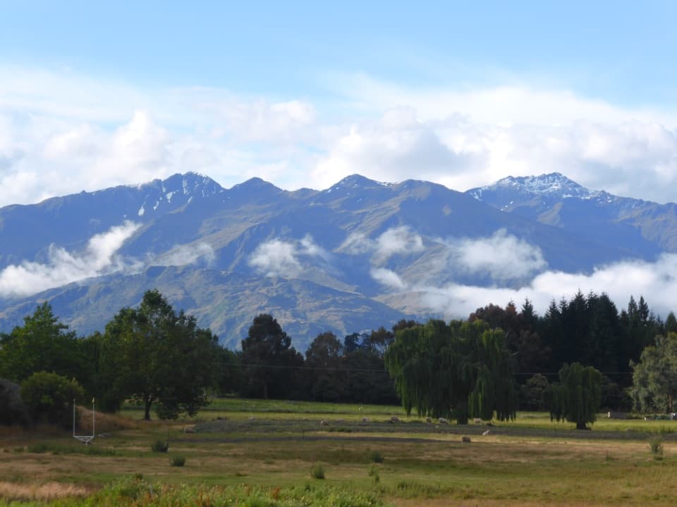 Campground · 3.7 km awaySundale Holiday Park & Retreat – WānakaChoose from camping, cabins and motels close to Wānaka.
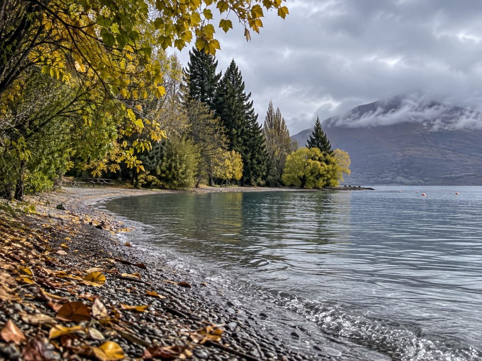 Picnic area · 4.1 km awayEely Point ReserveA quieter lakeside picnic stop beyond the Wānaka marina.
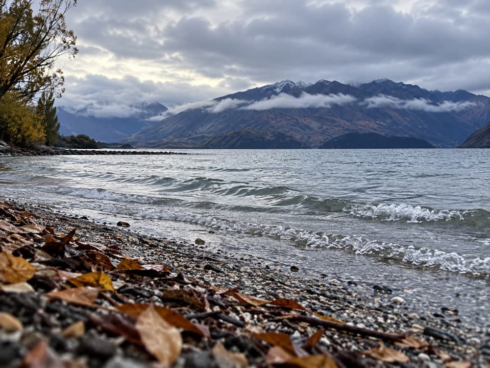 Beach · 4.2 km awayBremner Bay BeachA shallow family swim five minutes beyond Eely Point.
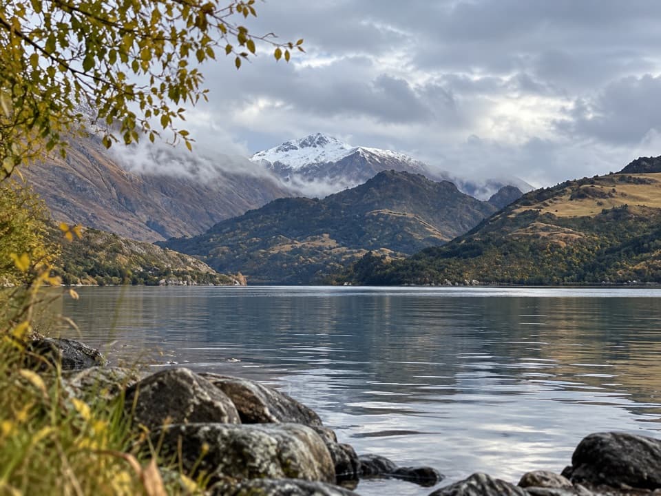 Campground · 4.3 km awayHampshire Holiday Parks – Glendhu BaySleep beside Lake Wānaka, with boat access and trails close by.
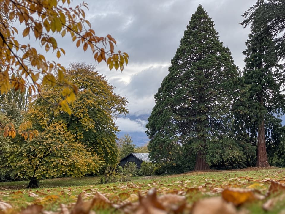 Picnic area · 4.5 km awayWānaka Station ParkA shady heritage garden with sequoias and old homestead walls.
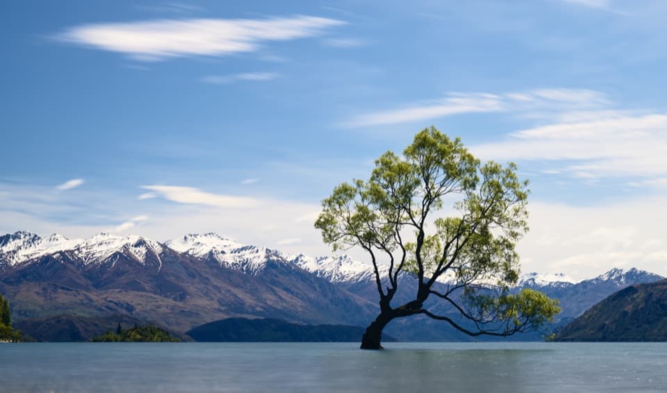 Sight · 4.6 km awayThat Wānaka TreeOne little willow turns the whole lake into its frame.
Parkwolf’s Queenstown-Lakes District ranking
The audio tour guide for the drive, plus offline maps, trails, and wildlife heatmaps for when the signal drops.