Parking
Turn off SH8 about 17 km south of Omarama onto Birchwood Road and continue 11 km to Avon Burn car park. The far end is a separate car park on SH8 south of Lindis Pass; arrange a pickup or shuttle in advance.
Queenstown-Lakes District, New Zealand, OT
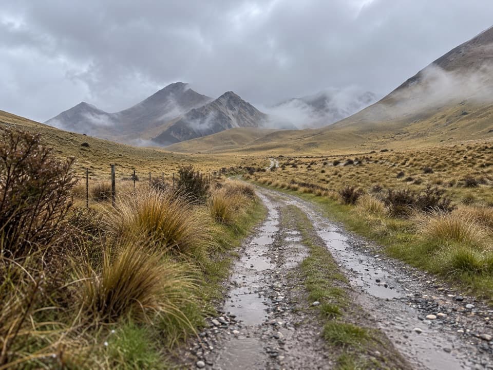
A long, exposed ridge crossing from Avon Burn to Lindis Pass.
Overview
Map & elevation
Plan your hike

The highest, rockiest slopes around here are a summer buffet for grizzly bears.
Queenstown-Lakes District Tour Guide
Parkwolf is a GPS audio tour guide for Queenstown-Lakes District, New Zealand. As you drive, it chimes in with what’s ahead: hidden gems, upcoming stops, history, geology, and wildlife, right through your car’s speakers.
See the Queenstown-Lakes District audio tour“Fantastic app with many points of information… It’s great to just turn on while you’re driving and it gives you an audio tour of the national Park. We love it!!!!”


Trail guide
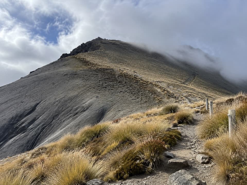
Melina Ridge Track is a 35 km (21.7 mi) one-way traverse from Avon Burn car park on Birchwood Road to the SH8 car park south of Lindis Pass. It climbs out of the Avon Burn valley to 1,500 m on Mt Melina, then descends toward Smiths Creek and the Lindis River before reaching the highway. It is an advanced, remote high-country tramping track shared with mountain bikers. Published time estimates range from 8 to 12 hours; plan for a very long day and leave a generous buffer for your pickup at the far end.
From Avon Burn, the route climbs across open tussock country and gains the ridge by Mt Melina. The high point is exposed, and some sections offer little shelter or a quick descent to the valley. Visibility and weather can change the commitment sharply. Keep to the marked track, especially where it crosses working private land.
From Mt Melina the track drops on the far side toward Smiths Creek, then continues out to the highway. This is point-to-point, so arrange a vehicle at both ends before setting off. The Mt Prospect branch is a different route and is not part of this 35 km line. There are no huts along the traverse.
The wider Lindis Pass was a travel corridor for Māori collecting pounamu; a route known as Tahu-a-arapaoa linked the Waitaki Valley over Lindis Pass to Lake Hāwea. That is the area's older route history, not a claim that this modern marked track follows the same line. A short gold rush along the Lindis River in 1861 briefly drew around 300 miners before the isolation and cost of supplies drove many away.
Alpine ridges, bluffs, scree and snow tussock in the area are habitat for kārearea, pīhoihoi and spotted skinks; lower shrublands and beech forest support pīwakawaka, riroriro and tītipounamu. These are possible sightings, not a promise on a long exposed traverse.
Public access across private land follows the marked track only: respect stock and leave gates and stiles as found. Camping is allowed only on public conservation land; dogs are not permitted. With no huts or food stops on route, carry what you need. Snow can remain at altitude, and avalanche danger is most common from May through November; check current avalanche information before going.
Wildlife
 194 sightingsKeaMost seen around 5 PMSighting map
 18 sightingsKākāMost seen around 6 PMSighting map
 198 sightingsKererūMost seen around 10 AMSighting map
 53 sightingsWekaMost seen around 6 PMSighting map
 245 sightingsTūīMost seen around 8 AMSighting map
 98 sightingsBellbirdMost seen around 6 AMSighting map
Sighting maps show where each species has been reported across Queenstown-Lakes District. Wildlife moves, so no sighting is guaranteed.
Keep exploring
Parkwolf’s Queenstown-Lakes District ranking

The audio tour guide for the drive, plus offline maps, trails, and wildlife heatmaps for when the signal drops.