Parking
Avon Burn car park is the DOC access for Melina Ridge, 11 km down Birchwood Road from SH8. Mount Prospect Track starts farther along Melina Ridge, and the through-route ends in the Timaru valley; plan an exit or continuation at the far end.
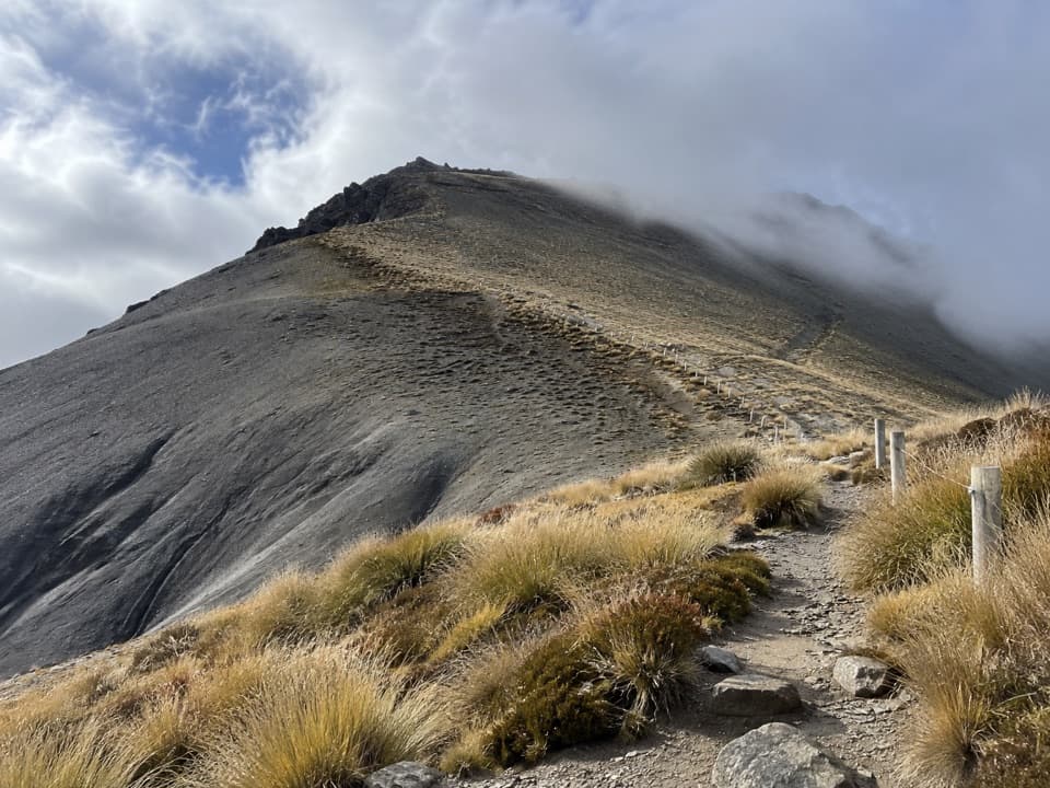
Queenstown-Lakes District, New Zealand, OT
A remote high-country crossing over a 1,770 m summit.
Overview
Map & elevation
Plan your hike

The highest, rockiest slopes around here are a summer buffet for grizzly bears.
Queenstown-Lakes District Tour Guide
Parkwolf is a GPS audio tour guide for Queenstown-Lakes District, New Zealand. As you drive, it chimes in with what’s ahead: hidden gems, upcoming stops, history, geology, and wildlife, right through your car’s speakers.
See the Queenstown-Lakes District audio tour“Fantastic app with many points of information… It’s great to just turn on while you’re driving and it gives you an audio tour of the national Park. We love it!!!!”


Trail guide
From the Mount Prospect branch on Melina Ridge Track, this point-to-point route climbs over the 1,770 m summit and descends toward the Timaru River valley. The connected mapped line measures about 11.25 km (7.0 mi) one way. Published route information gives 9 km and about 4 hours, so plan around the longer mapped distance until the difference is resolved. This is a crossing, not the separate 12 km return summit trip from Top Tīmaru Hut.
Expect a remote, expert-level high-country outing with a substantial climb and descent. Allow about 5–6 hours for the mapped crossing and arrange transport or a continuation at the Timaru end before setting out. There are no confirmed food, toilet, or drinking-water facilities on this segment.
The DOC access for Melina Ridge is Avon Burn car park, reached by Birchwood Road; the Mount Prospect branch begins farther along Melina Ridge. The route is mostly an unmarked old 4WD road, so bring navigation skills and check current access and weather. Heavy rain can make stream crossings impassable, and snow or poor visibility can make high-country travel hazardous.
Wildlife
 194 sightingsKeaMost seen around 5 PMSighting map
 18 sightingsKākāMost seen around 6 PMSighting map
 198 sightingsKererūMost seen around 10 AMSighting map
 53 sightingsWekaMost seen around 6 PMSighting map
 245 sightingsTūīMost seen around 8 AMSighting map
 98 sightingsBellbirdMost seen around 6 AMSighting map
Sighting maps show where each species has been reported across Queenstown-Lakes District. Wildlife moves, so no sighting is guaranteed.
Keep exploring
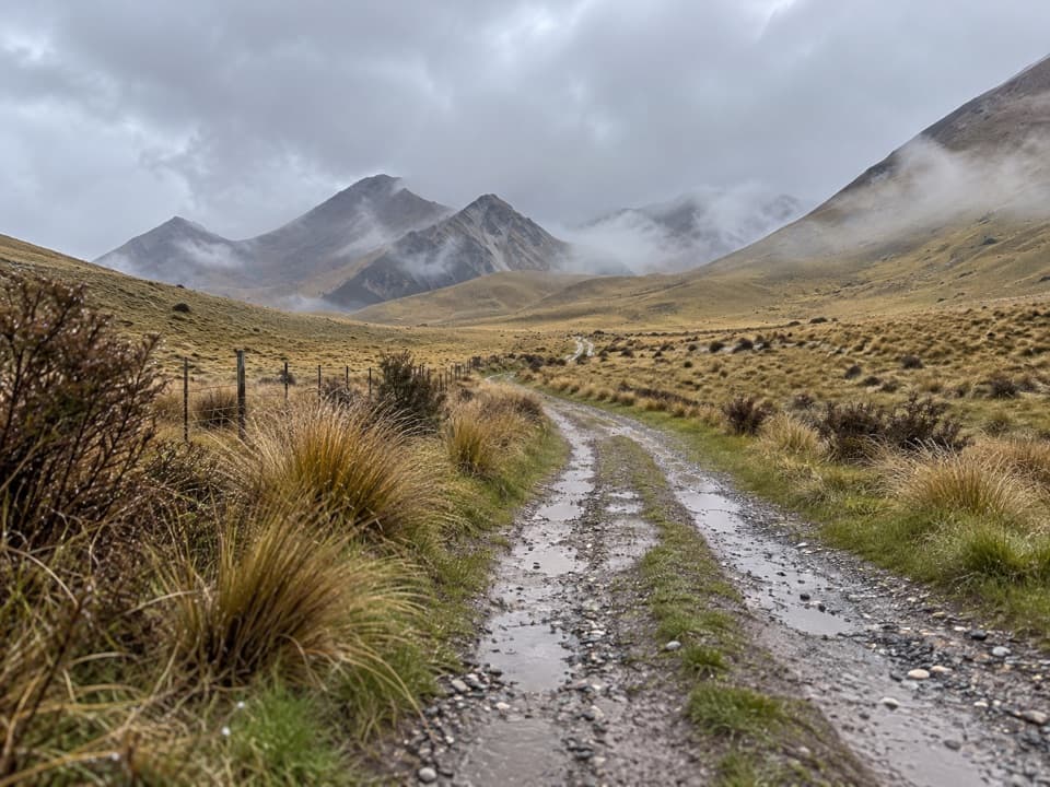 ChallengingMelina Ridge Track35 km · 10 hr · 10.2 km awayA long, exposed ridge crossing from Avon Burn to Lindis Pass.
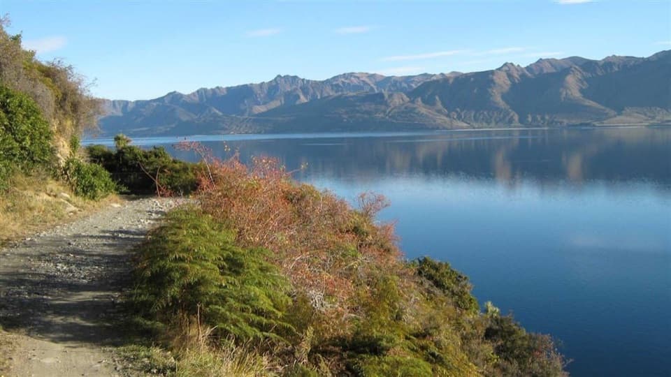 ModerateDingle Burn Peninsula Track11 km · 3.5 hr · 17.1 km awayWalk Lake Hāwea’s eastern shore to Turihuka.
 ChallengingDingle Burn Track49 km · 23 hr · 20 km awayA remote hut traverse with river fords and a high saddle.
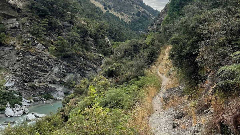 ChallengingTimaru River Track44 km · 16 hr · 20 km awayRemote 44 km crossing through gorges and over Mt Martha Saddle.
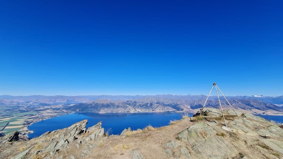 ChallengingBreast Hill Track17.4 km · 8.8 hr · 21.7 km awayAn exposed full-day traverse with a Lake Hāwea summit view.
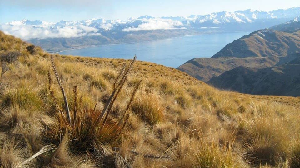 ChallengingGrandview Mountain Track18 km · 5 hr · 23.1 km awayA hard climb opens sweeping views over Lake Hāwea and Wānaka.
Parkwolf’s Queenstown-Lakes District ranking

The audio tour guide for the drive, plus offline maps, trails, and wildlife heatmaps for when the signal drops.





