Parking
From Lake Hāwea Township, follow the unsealed Dingleburn Station Road to the public car park, about 8 km north of Timaru Creek. No vehicle access is permitted beyond the car park.
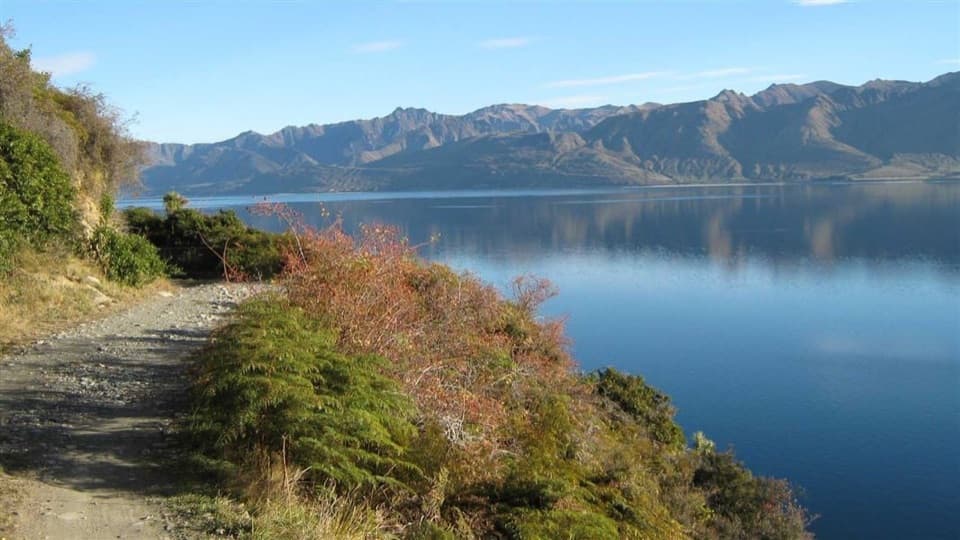
Queenstown-Lakes District, New Zealand, OT
Walk Lake Hāwea’s eastern shore to Turihuka.
Overview
Map & elevation
Plan your hike

The highest, rockiest slopes around here are a summer buffet for grizzly bears.
Queenstown-Lakes District Tour Guide
Parkwolf is a GPS audio tour guide for Queenstown-Lakes District, New Zealand. As you drive, it chimes in with what’s ahead: hidden gems, upcoming stops, history, geology, and wildlife, right through your car’s speakers.
See the Queenstown-Lakes District audio tourMore stories near here in the app
“Fantastic app with many points of information… It’s great to just turn on while you’re driving and it gives you an audio tour of the national Park. We love it!!!!”


Trail guide
Dingle Burn Peninsula Track is an 11 km point-to-point walk from the car park on Lake Hāwea’s eastern shore to Turihuka Conservation Area at the mouth of Dingle Burn. Plan for about 3–4 hours one way. Published distances vary between 11 and 12 km; turning back to the same car park makes this roughly a 22–24 km day.
The first leg follows a 4WD road above the lake to Rocky Point and around the bluffs to Silver Island Bay. From there the public foot track crosses Silver Burn, climbs, then sidles around the peninsula’s western side to Turihuka.
Rocky Point opens to Mount Aspiring/Tititea on a clear day. Farther along, the western sidle looks into the Hunter Valley. The changing views are the payoff, but this is not a flat lakeside stroll: the route gains height around the peninsula, and narrow sections run beside high bluffs and drop-offs.
Turihuka sits at the mouth of Dingle Burn. There is a basic campsite with a toilet and picnic table, and the peninsula track gives access to the longer Dingle Burn and Hunter River routes. This is a one-way access walk; there is no short loop back to the car park. No food or drinking-water facilities are documented along the route, so carry what you need. Dogs are not allowed.
The rough 4WD road through the bluffs has a long local history. An account of its construction credits brothers Ian and John Sarginson, who used explosives to cut the early-1960s route after Lake Hāwea was raised for hydroelectric development. It still crosses working farmland, and the narrow track leaves little room to safely pass stock.
Wildlife
 194 sightingsKeaMost seen around 5 PMSighting map
 18 sightingsKākāMost seen around 6 PMSighting map
 198 sightingsKererūMost seen around 10 AMSighting map
 53 sightingsWekaMost seen around 6 PMSighting map
 245 sightingsTūīMost seen around 8 AMSighting map
 98 sightingsBellbirdMost seen around 6 AMSighting map
Sighting maps show where each species has been reported across Queenstown-Lakes District. Wildlife moves, so no sighting is guaranteed.
Keep exploring
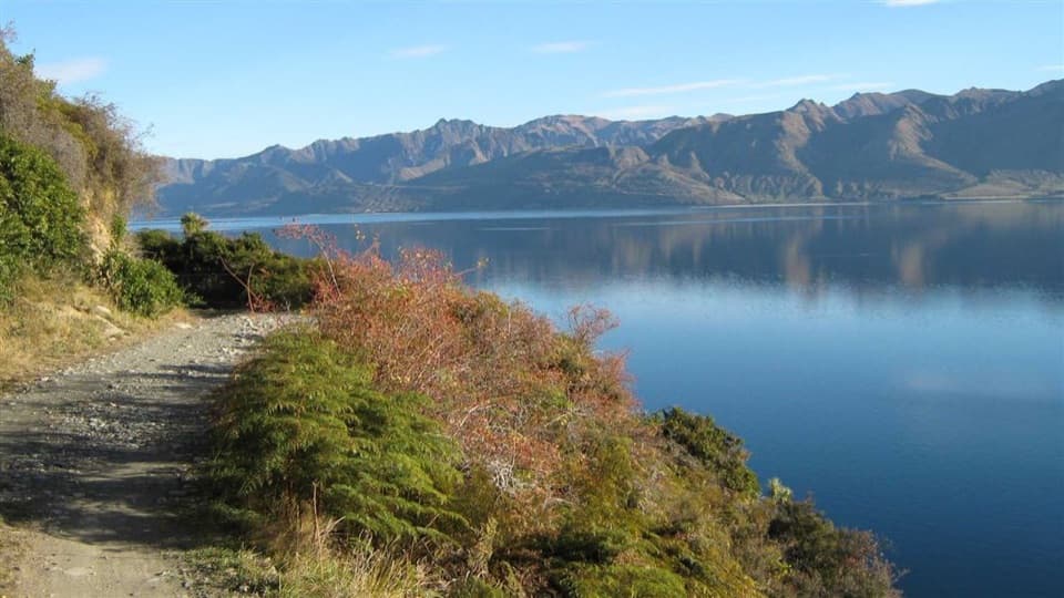 ChallengingDingle Burn Track49 km · 23 hr · 5 km awayA remote hut traverse with river fords and a high saddle.
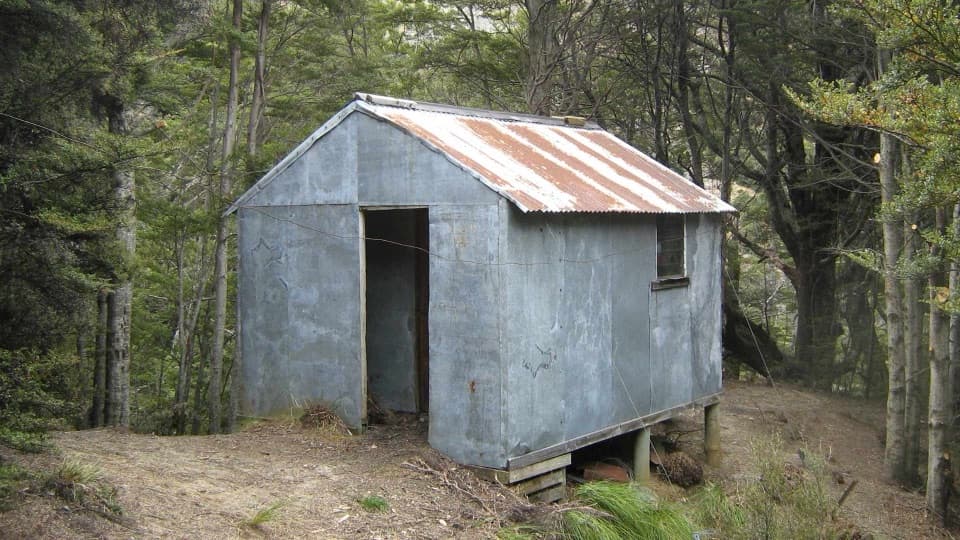 ChallengingSawyer Burn Track8 km · 5 hr · 7.6 km awayA steep Lake Hāwea climb to a shaded two-bunk hut.
 ChallengingIsthmus Peak Track16 km · 5.5 hr · 8.6 km awayA steep summit climb above both lakes and the Southern Alps.
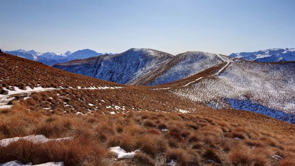 ChallengingGlen Dene Ridge Track29.9 km · 12 hr · 8.7 km awayOpen ridge walking with two lake views and a serious climb.
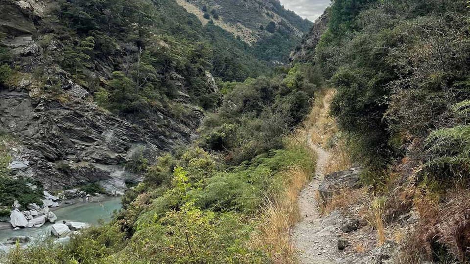 ChallengingTimaru River Track44 km · 16 hr · 9.4 km awayRemote 44 km crossing through gorges and over Mt Martha Saddle.
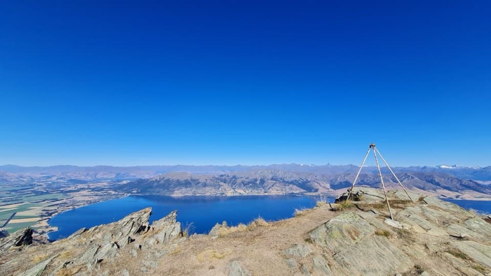 ChallengingBreast Hill Track17.4 km · 8.8 hr · 14.5 km awayAn exposed full-day traverse with a Lake Hāwea summit view.
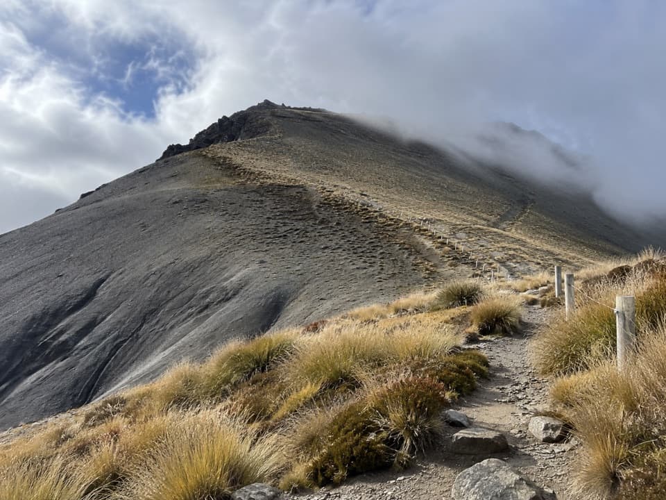 ChallengingMount Prospect Track11.2 km · 5.5 hr · 17.1 km awayA remote high-country crossing over a 1,770 m summit.
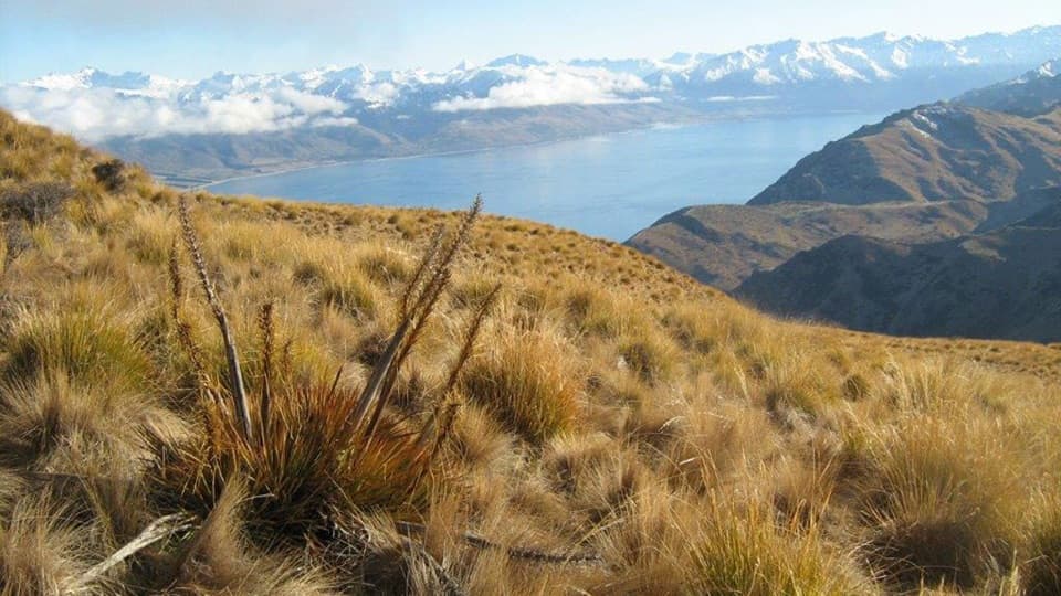 ChallengingGrandview Mountain Track18 km · 5 hr · 17.8 km awayA hard climb opens sweeping views over Lake Hāwea and Wānaka.
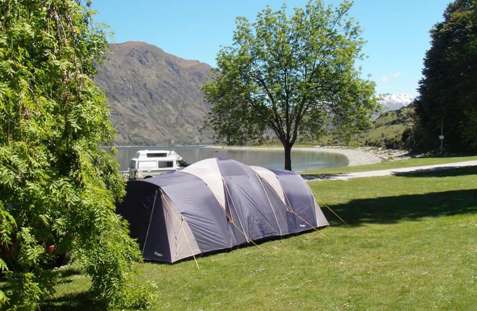 Campground · 7.6 km awayKidds Bush Reserve CampsiteGrassy lakeside camping with a beech-forest loop from camp.
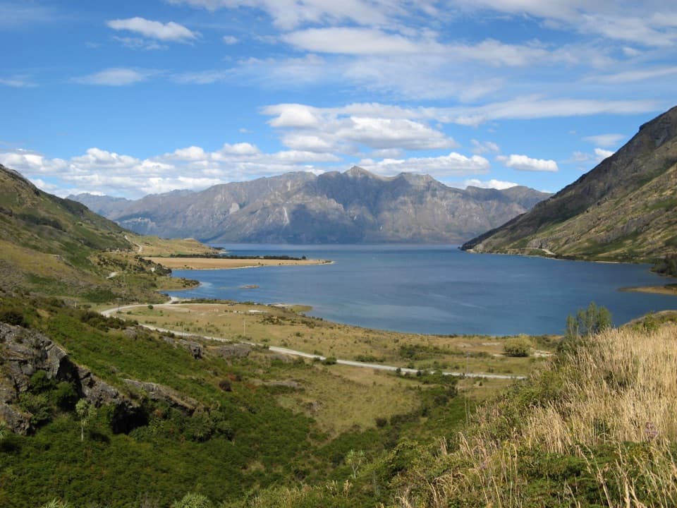 Scenic pullout · 12.9 km awayLake Hāwea Lookout at The NeckA quick pause for Lake Hāwea beneath steep mountain walls.
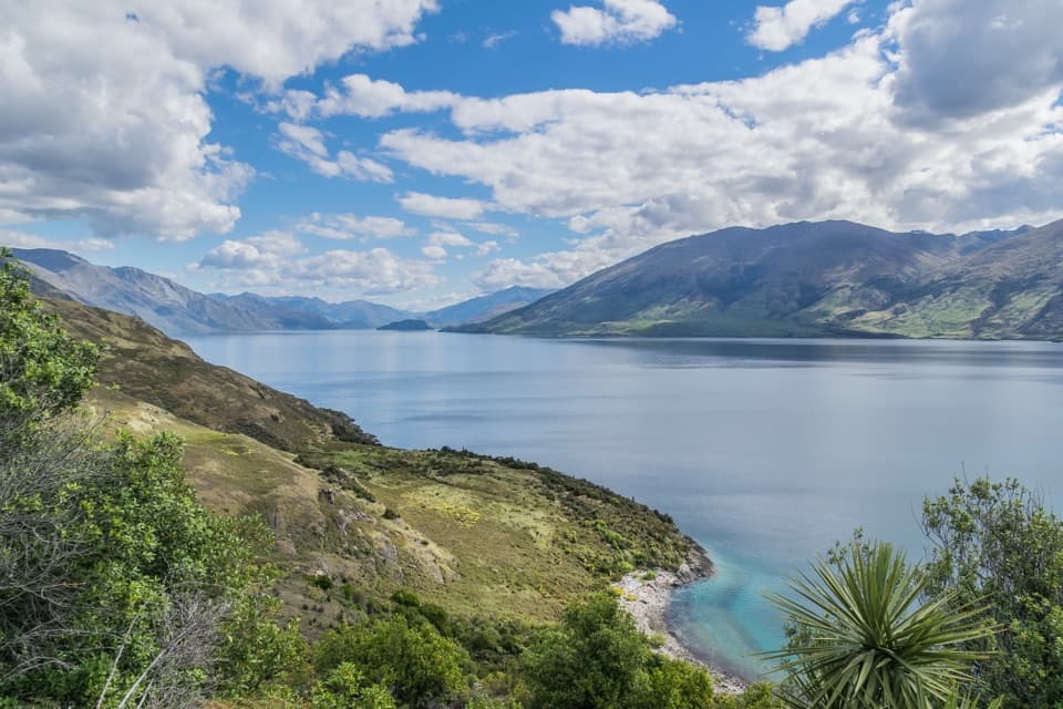 Scenic pullout · 14 km awayLake Wānaka Lookout at The NeckA quick pull-in for Lake Wānaka and its mountain backdrop.
Parkwolf’s Queenstown-Lakes District ranking

The audio tour guide for the drive, plus offline maps, trails, and wildlife heatmaps for when the signal drops.




