Parking
Queensberry car park on Wailana Heights Drive. From Wānaka, take SH6 south for about 20 km, turn right onto Pukekowhai Drive, then left onto Wailana Heights Drive; the car park is on the right.
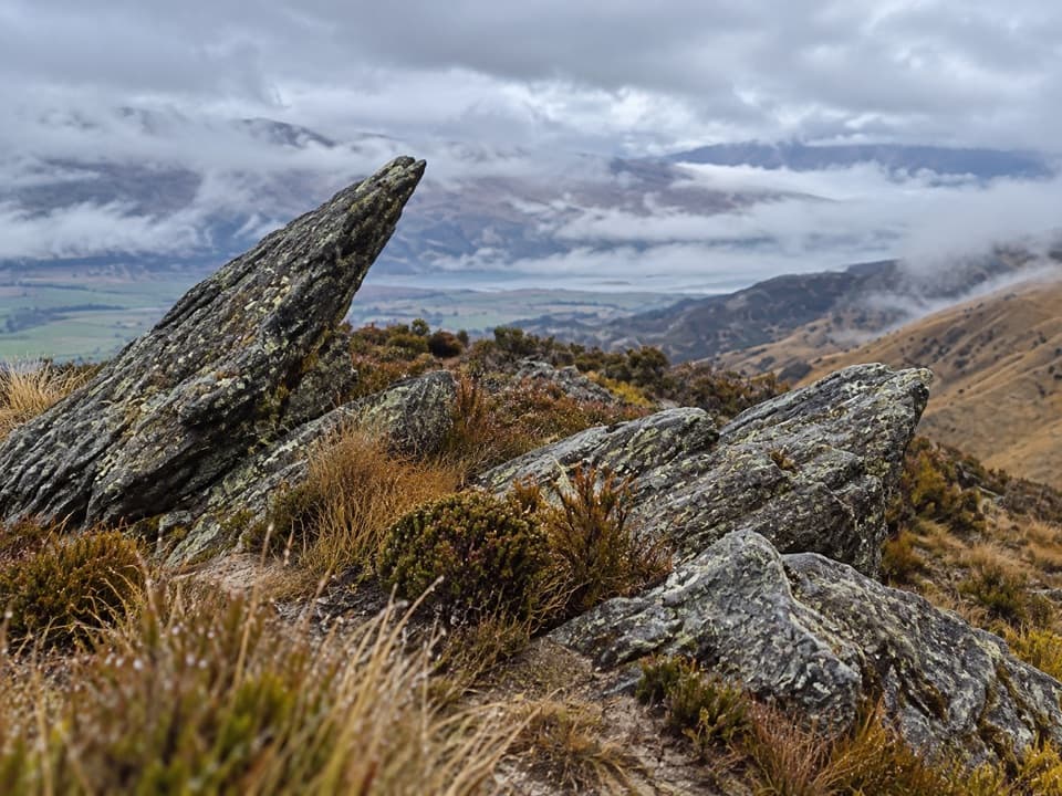
Queenstown-Lakes District, New Zealand, OT
A 30 km ridge traverse with no exit at the far end.
Overview
Map & elevation
Plan your hike

The highest, rockiest slopes around here are a summer buffet for grizzly bears.
Queenstown-Lakes District Tour Guide
Parkwolf is a GPS audio tour guide for Queenstown-Lakes District, New Zealand. As you drive, it chimes in with what’s ahead: hidden gems, upcoming stops, history, geology, and wildlife, right through your car’s speakers.
See the Queenstown-Lakes District audio tourMore stories near here in the app
“Fantastic app with many points of information… It’s great to just turn on while you’re driving and it gives you an audio tour of the national Park. We love it!!!!”


Trail guide
Pisa Range Ridge Track is an advanced point-to-point route from Queensberry car park over the high ridge to the Pisa Range Conservation Area boundary near Mount Dottrel. The marked route is 30 km one way and takes 10–12 hours to the far end. There is no public exit there, so unless you arrange a legal side-route exit, returning the same way makes the full outing roughly 60 km. For a shorter walk, the recognized return to the 1,444 m trig is 7.5 km and 5–6 hours.
The marked route climbs through farmland past Alfern Creek Conservation Area, where a small remnant grove holds kānuka and Hall’s tōtara. Cross the stile into the conservation area and follow the farm track toward the 1,444 m trig. At the Locharburn junction, stay right and continue toward Lake McKay.
At the Kirtle Burn Track junction, turn left toward Mount Pisa, 1,963 m, the range’s highest peak. The high tops look across Upper Clutha and Central Otago toward the Southern Alps, including Tititea / Mount Aspiring. Continue south along the ridgeline and keep right at the Tinwald Burn Ridge junction. The Column Rocks are distinctive rock tors; the route then passes Mount Dottrel at 1,690 m and ends at the public boundary just before Mitre Rocks. The Column Rocks are the most distinctive photo subject: put a tor in the foreground with the ridge beyond it.
The first part crosses private land under an access easement. Stay on the marked track until you reach conservation land, leave gates as you find them, use stiles, and keep clear of livestock. Dogs are not allowed. Camping is not permitted before the conservation boundary, and the apparent continuation beyond it toward Deep Creek Hut crosses private property and is not open to the public.
The ridge is exposed to severe winds and fast weather changes. Snow or low cloud can cause whiteout, and hypothermia is possible even in summer. Summer can also be hot and dry; water sources are unreliable and there are no toilets or other facilities. Carry enough water, sun protection, and warm, waterproof, windproof clothing. Avalanche terrain can cross the track, usually from May into November, so check the current local avalanche information before setting out.
From Wānaka, drive about 20 km south on SH6, turn right onto Pukekowhai Drive, then left onto Wailana Heights Drive. Queensberry car park is on the right.
Wildlife
 194 sightingsKeaMost seen around 5 PMSighting map
 18 sightingsKākāMost seen around 6 PMSighting map
 198 sightingsKererūMost seen around 10 AMSighting map
 53 sightingsWekaMost seen around 6 PMSighting map
 245 sightingsTūīMost seen around 8 AMSighting map
 98 sightingsBellbirdMost seen around 6 AMSighting map
Sighting maps show where each species has been reported across Queenstown-Lakes District. Wildlife moves, so no sighting is guaranteed.
Keep exploring
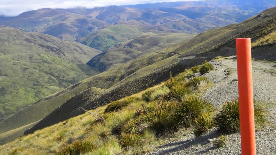 ChallengingGrandview Ridge Track36 km · 12 hr · 5.6 km awayA strenuous ridge traverse with sweeping Upper Clutha views
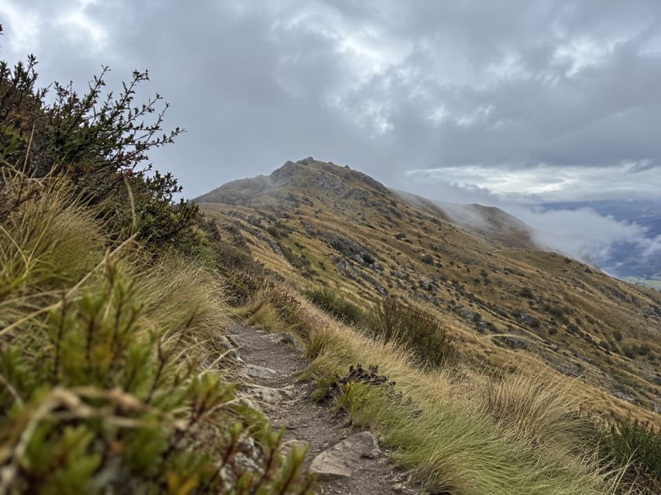 ChallengingDeep Gully–Eastern Hills Loop Track10.5 km · 4 hr · 6.4 km awayA steep loop climbs through tussock to wide Upper Clutha views.
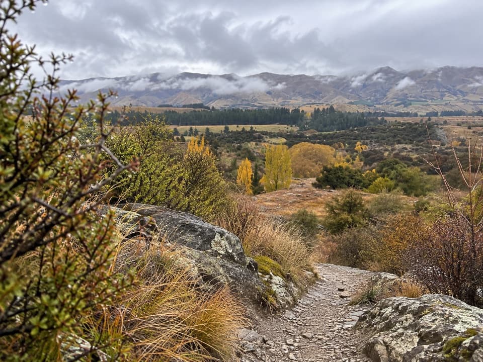 EasyLuggate Creek Track1.7 km · 25 min · 8.5 km awayA short willow-lined creek walk to the Clutha River.
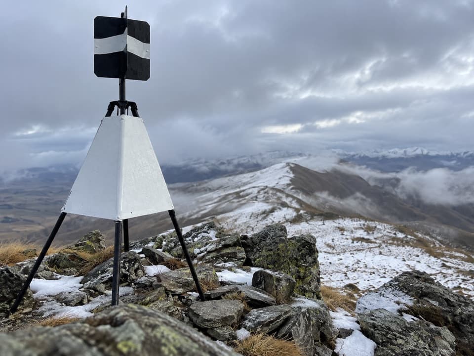 ChallengingLindis Peak Track11 km · 4.5 hr · 16.3 km awayA long climb to a sweeping Central Otago summit panorama.
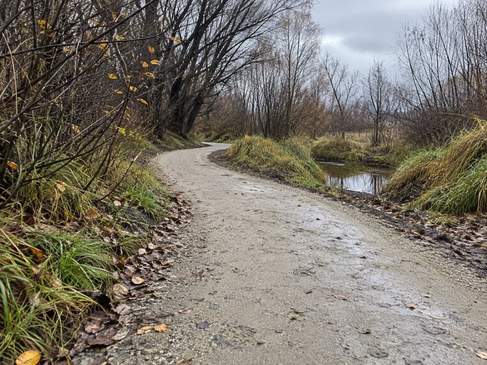 EasyCameron Creek Track1.5 km · 30 min · 17.7 km awayA short riverside link from Albert Town to Monteith Road
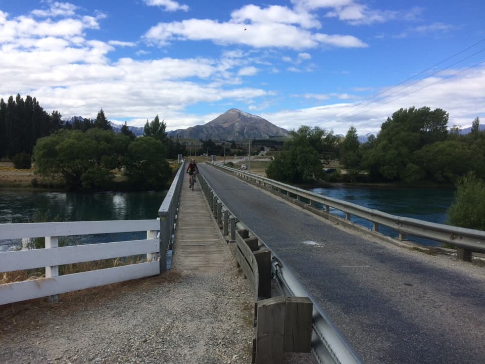 ModerateUpper Clutha River Track18.5 km · 5.5 hr · 17.7 km awayA long riverside traverse with gold-mining history at Reko’s Point.
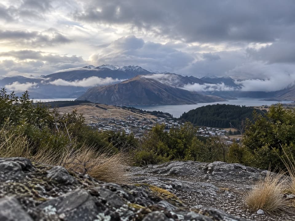 ModerateLittle Mount Iron Track2.6 km · 1.3 hr · 18.3 km awayA poled hill crossing with open views from a smaller summit.
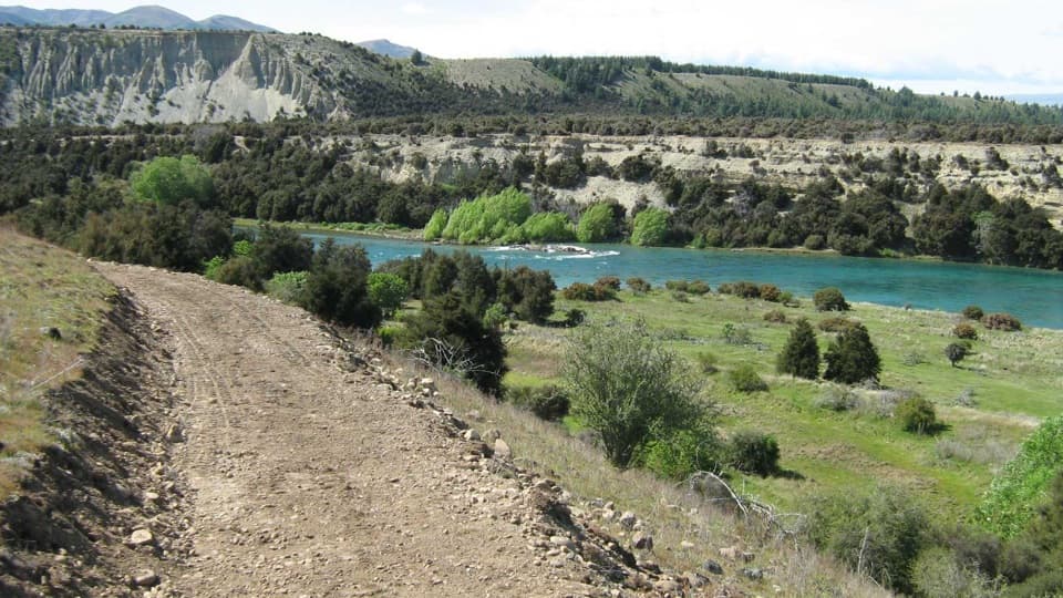 ModerateNewcastle Track12 km · 3 hr · 18.4 km awayA long, undulating river track from Hāwea to Kane Road.
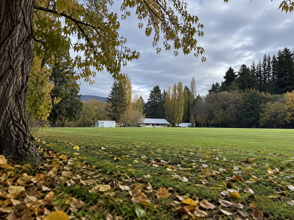 Campground · 8.7 km awayLuggate CampgroundA simple overnight base around Luggate’s cricket oval.
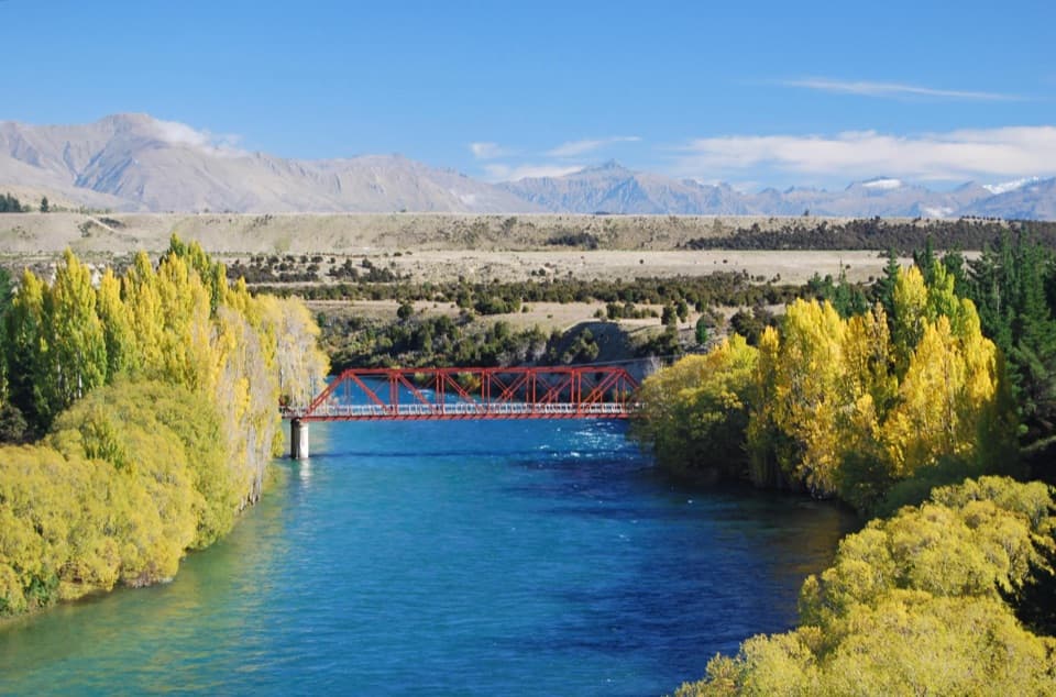 Campground · 10.1 km awayLuggate Red Bridge ReserveAn easy overnight stop beside Luggate’s red truss bridge.
 Sight · 12.2 km awayNational Transport and Toy MuseumFour buildings, hundreds of vehicles, and a plane you can walk inside
Parkwolf’s Queenstown-Lakes District ranking

The audio tour guide for the drive, plus offline maps, trails, and wildlife heatmaps for when the signal drops.





