Parking
The signposted start of Old Faithful Road is off SH8, about 22 km north of Tarras. No separate trailhead car park is identified.
Queenstown-Lakes District, New Zealand, OT
A long climb to a sweeping Central Otago summit panorama.
Overview
Map & elevation
Plan your hike

The highest, rockiest slopes around here are a summer buffet for grizzly bears.
Queenstown-Lakes District Tour Guide
Parkwolf is a GPS audio tour guide for Queenstown-Lakes District, New Zealand. As you drive, it chimes in with what’s ahead: hidden gems, upcoming stops, history, geology, and wildlife, right through your car’s speakers.
See the Queenstown-Lakes District audio tour“Fantastic app with many points of information… It’s great to just turn on while you’re driving and it gives you an audio tour of the national Park. We love it!!!!”


Trail guide
Lindis Peak Track is an 11 km out-and-back from the start of Old Faithful Road to the 1,226 m summit. The farm track climbs about 850 m over 5.6 km each way; allow 4–5 hours for the return. It is a half-day mountain walk where the uphill work is the main commitment, not a quick roadside lookout.
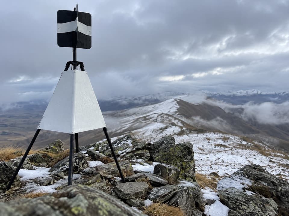
From the top, the St Bathans Range fills the eastern view and the Southern Alps / Ka Tiritiri-o-te-Moana rise to the west. The wider panorama follows the Main Divide from the Hopkins Valley toward Mount Aspiring / Tititea. The black-and-white summit marker makes a strong foreground for that long mountain view.
The route follows a farm track across a public easement. It is signposted at the start of Old Faithful Road, off SH8, about 22 km north of Tarras. Dogs are not allowed. The peak is snow-covered in winter, and Central Otago conditions can swing from dry heat to cold and wet within a day; carry a map and compass and be ready for both.
Wildlife
 194 sightingsKeaMost seen around 5 PMSighting map
 18 sightingsKākāMost seen around 6 PMSighting map
 198 sightingsKererūMost seen around 10 AMSighting map
 53 sightingsWekaMost seen around 6 PMSighting map
 245 sightingsTūīMost seen around 8 AMSighting map
 98 sightingsBellbirdMost seen around 6 AMSighting map
Sighting maps show where each species has been reported across Queenstown-Lakes District. Wildlife moves, so no sighting is guaranteed.
Keep exploring
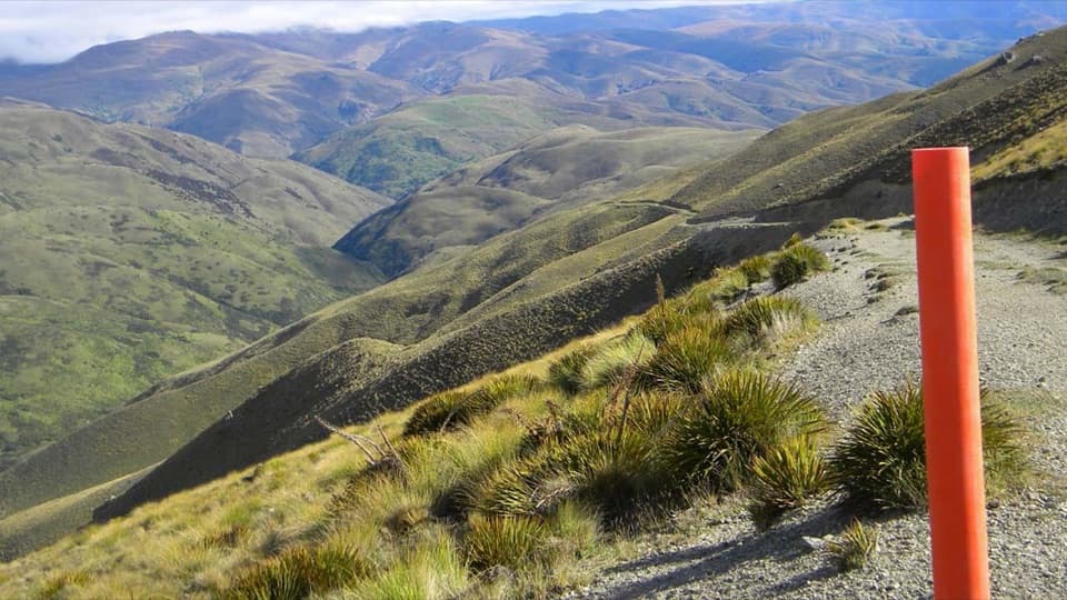 ChallengingGrandview Ridge Track36 km · 12 hr · 10.8 km awayA strenuous ridge traverse with sweeping Upper Clutha views
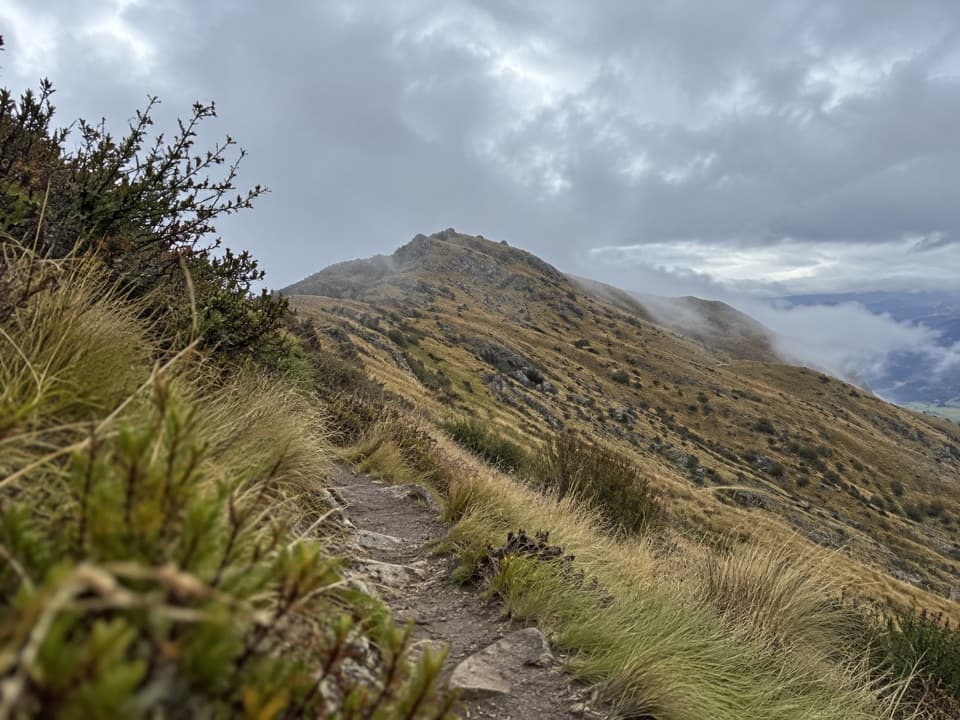 ChallengingDeep Gully–Eastern Hills Loop Track10.5 km · 4 hr · 12.8 km awayA steep loop climbs through tussock to wide Upper Clutha views.
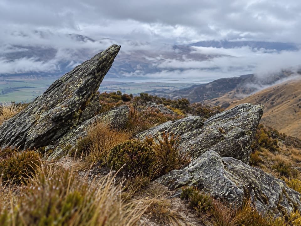 ChallengingPisa Range Ridge Track30 km · 11 hr · 16.3 km awayA 30 km ridge traverse with no exit at the far end.
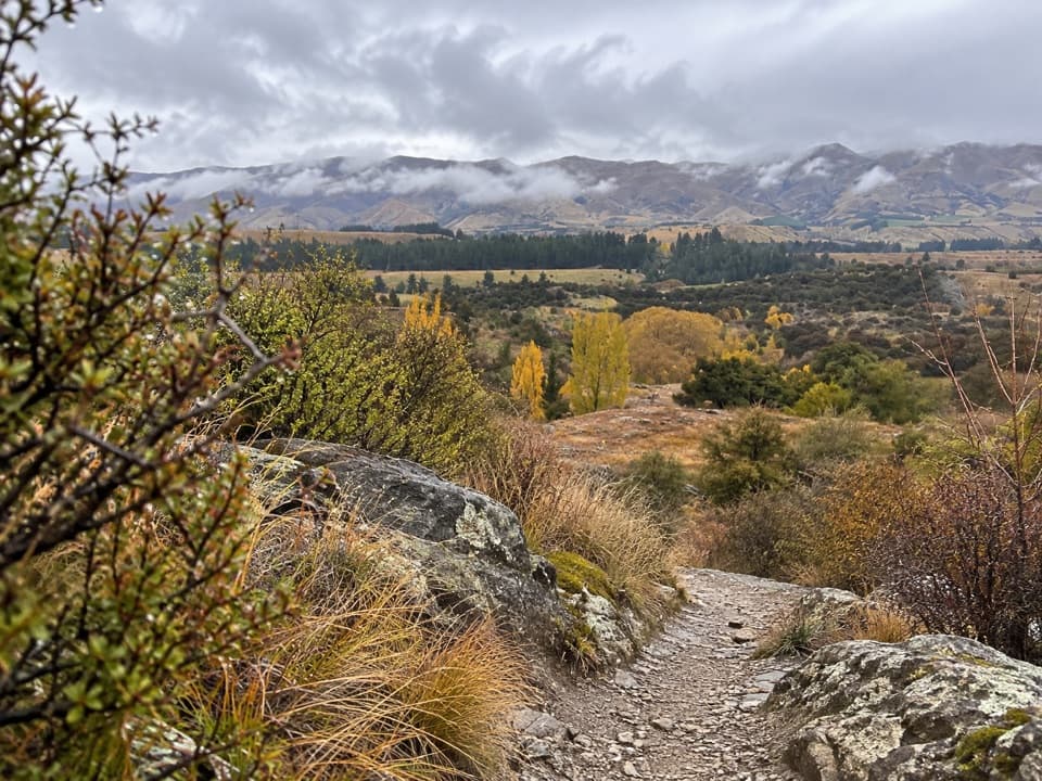 EasyLuggate Creek Track1.7 km · 25 min · 19 km awayA short willow-lined creek walk to the Clutha River.
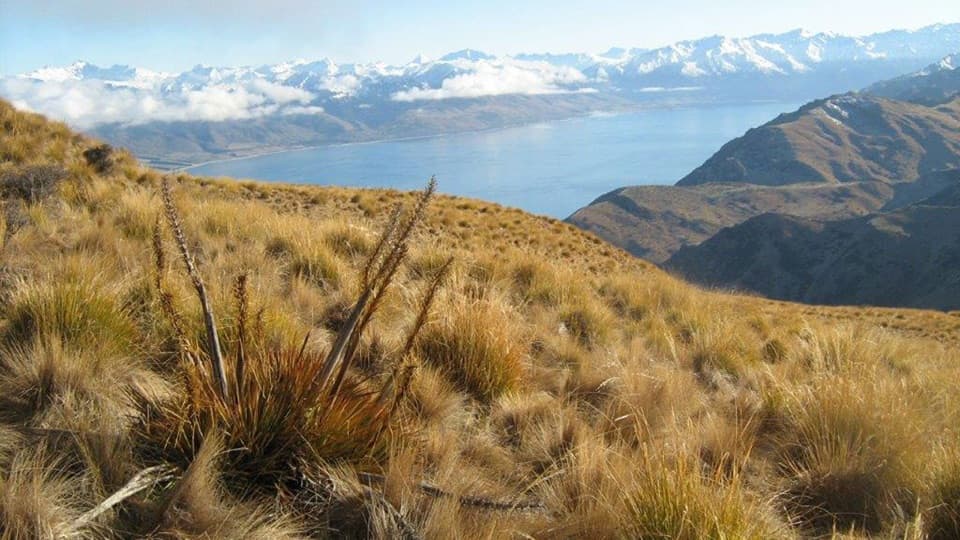 ChallengingGrandview Mountain Track18 km · 5 hr · 20.7 km awayA hard climb opens sweeping views over Lake Hāwea and Wānaka.
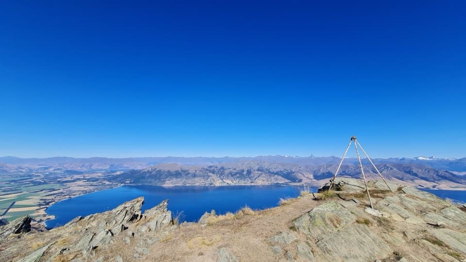 ChallengingBreast Hill Track17.4 km · 8.8 hr · 23.5 km awayAn exposed full-day traverse with a Lake Hāwea summit view.
Parkwolf’s Queenstown-Lakes District ranking

The audio tour guide for the drive, plus offline maps, trails, and wildlife heatmaps for when the signal drops.





