Parking
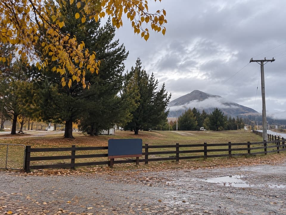
Sandy Point car park is on SH8, about 17 km from Wānaka. Cross the road to the marked track and stile.
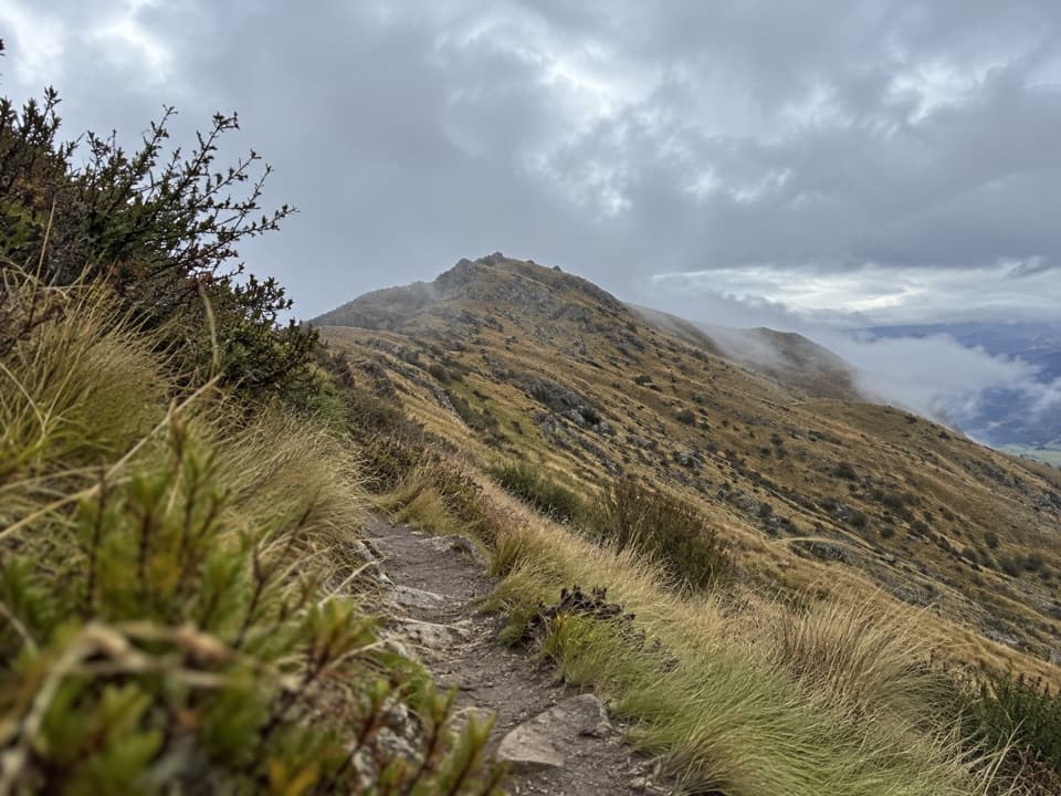
Queenstown-Lakes District, New Zealand, OT
A steep loop climbs through tussock to wide Upper Clutha views.
Overview
Map & elevation
Plan your hike

The highest, rockiest slopes around here are a summer buffet for grizzly bears.
Queenstown-Lakes District Tour Guide
Parkwolf is a GPS audio tour guide for Queenstown-Lakes District, New Zealand. As you drive, it chimes in with what’s ahead: hidden gems, upcoming stops, history, geology, and wildlife, right through your car’s speakers.
See the Queenstown-Lakes District audio tourRecorded for this trailhead
Sandy Point: Deep Gully and Eastern Hills“You're nearing the Sandy Point access for the Deep Gully and Eastern Hills loop. This is a steep ten-and-a-half-kilometre circuit taking three to five hours, with wide Upper Clutha Valley views from Grandview Ridge.”
Plays as you drive up to this trailhead in the Parkwolf Queenstown-Lakes District Tour Guide.
More stories near here in the app
“Fantastic app with many points of information… It’s great to just turn on while you’re driving and it gives you an audio tour of the national Park. We love it!!!!”


Trail guide
This 10.5 km loop takes about 3–5 hours, climbing Deep Gully to Grandview Ridge before descending Eastern Hills. It links the two branches into a full circuit from Sandy Point, with a long, steep ascent and a high grassy ridge.
Start at the marked access opposite Sandy Point car park. The Deep Gully route follows the hill’s toe, then climbs the gully to the skyline. Turn right for roughly 500 m along Grandview Ridge, then take the marked branch down Eastern Hills to the start. Follow the orange markers and poles carefully; tall pasture can hide the first markers.
The ridge opens broad views across the Upper Clutha Valley, with Central Otago and the distant Southern Alps beyond. Around Long Gully, short tussock and pasture give way to dry and grey shrubland. The wider Grandview area is where Otago’s first surveyor, John Turnbull Thomson, saw and named Mount Aspiring/Tititea.
The climb is graded advanced and crosses private pastoral land: stay on the poled route. The access approaches pass through challenging avalanche terrain in winter and spring before the simpler ridge tops; check avalanche information when planning between May and November. Both branches have recurring spring lambing closures, so check DOC’s current dates before going.
Wildlife
 194 sightingsKeaMost seen around 5 PMSighting map
 18 sightingsKākāMost seen around 6 PMSighting map
 198 sightingsKererūMost seen around 10 AMSighting map
 53 sightingsWekaMost seen around 6 PMSighting map
 245 sightingsTūīMost seen around 8 AMSighting map
 98 sightingsBellbirdMost seen around 6 AMSighting map
Sighting maps show where each species has been reported across Queenstown-Lakes District. Wildlife moves, so no sighting is guaranteed.
Keep exploring
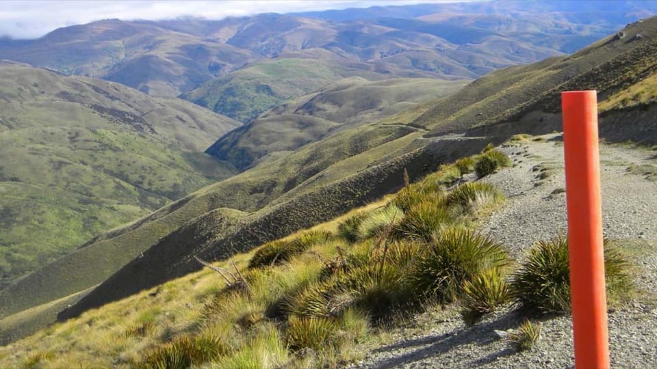 ChallengingGrandview Ridge Track36 km · 12 hr · 5.2 km awayA strenuous ridge traverse with sweeping Upper Clutha views
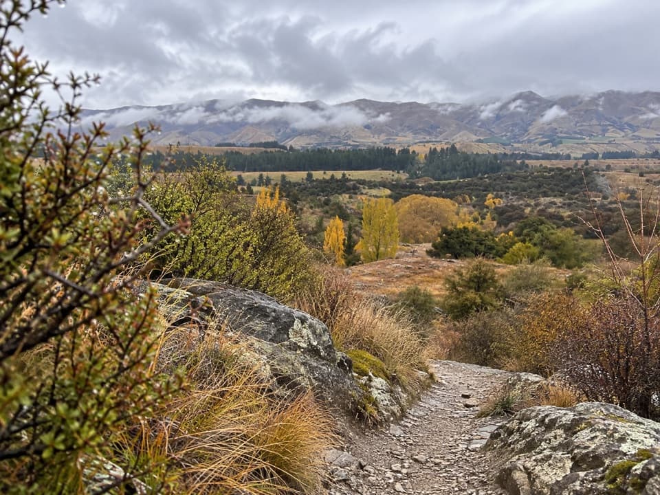 EasyLuggate Creek Track1.7 km · 25 min · 6.4 km awayA short willow-lined creek walk to the Clutha River.
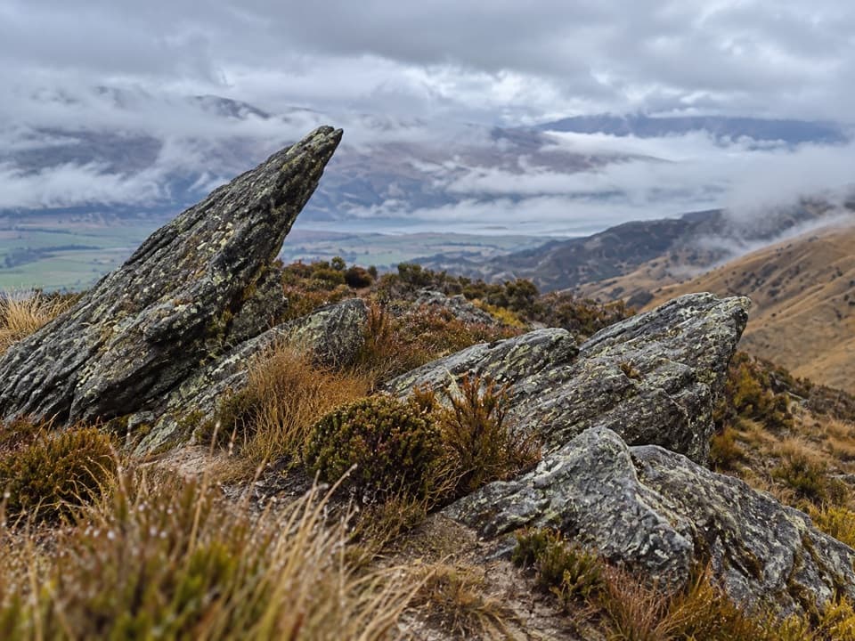 ChallengingPisa Range Ridge Track30 km · 11 hr · 6.4 km awayA 30 km ridge traverse with no exit at the far end.
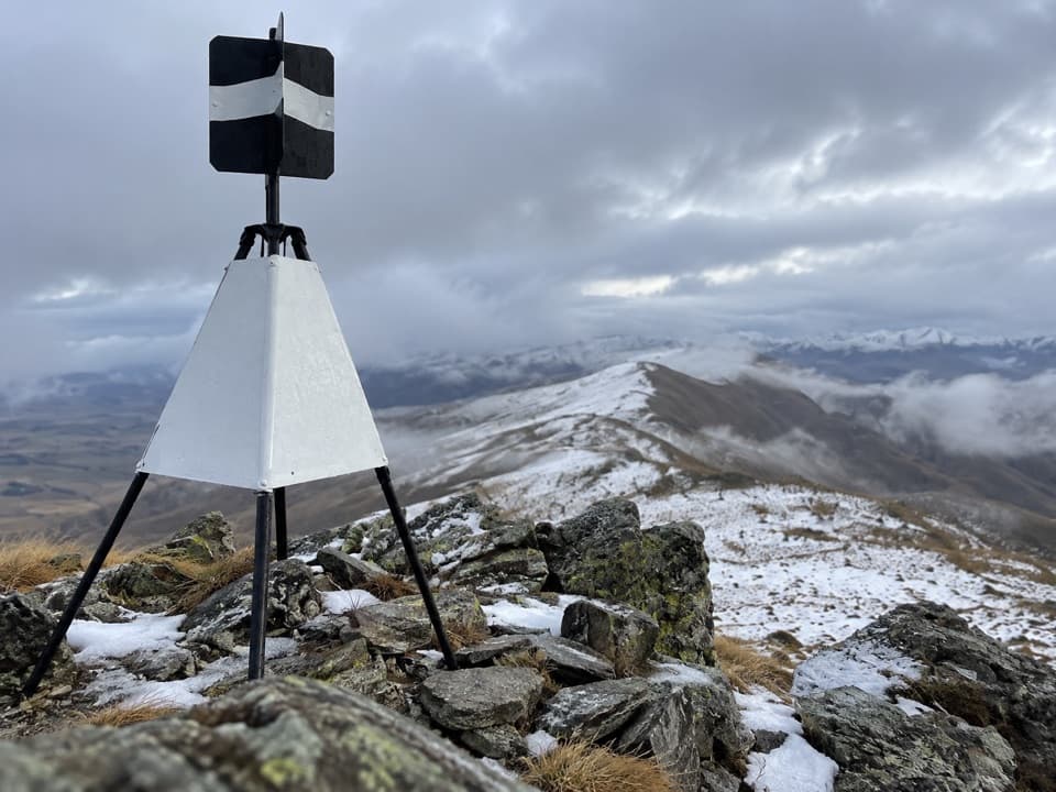 ChallengingLindis Peak Track11 km · 4.5 hr · 12.8 km awayA long climb to a sweeping Central Otago summit panorama.
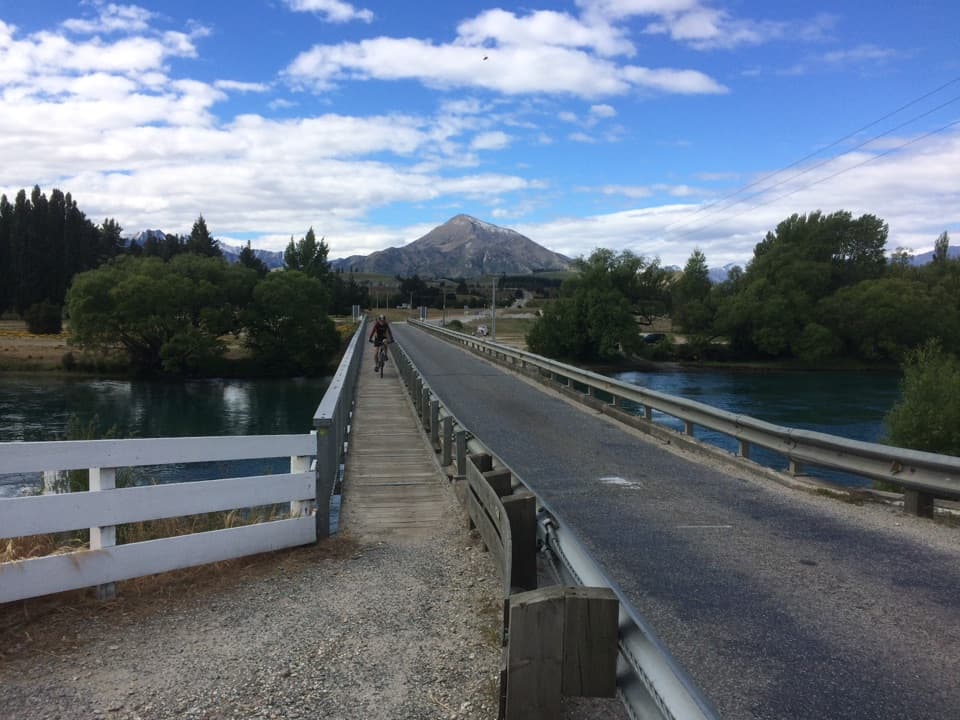 ModerateUpper Clutha River Track18.5 km · 5.5 hr · 14.6 km awayA long riverside traverse with gold-mining history at Reko’s Point.
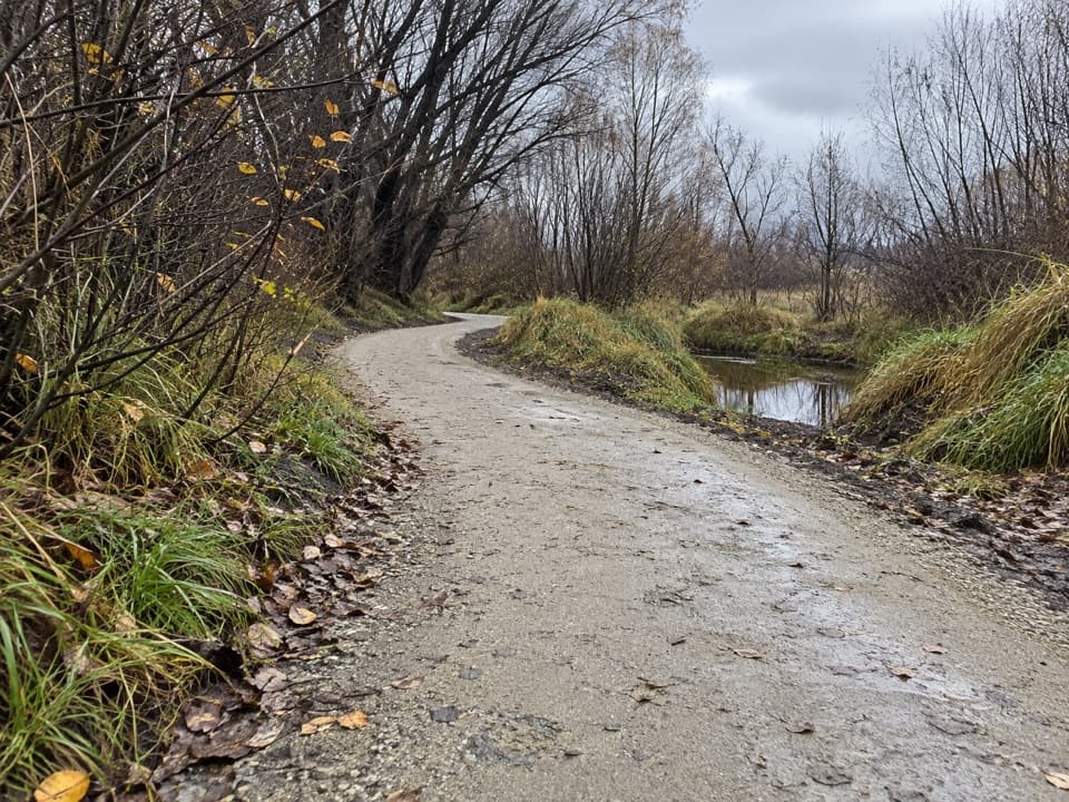 EasyCameron Creek Track1.5 km · 30 min · 14.7 km awayA short riverside link from Albert Town to Monteith Road
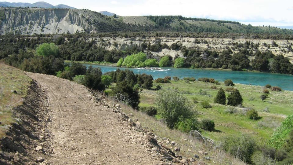 ModerateNewcastle Track12 km · 3 hr · 14.9 km awayA long, undulating river track from Hāwea to Kane Road.
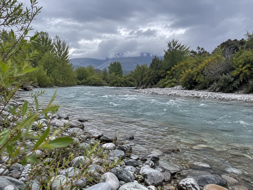 EasyHāwea River Track9.4 km · 3 hr · 14.9 km awayAn easy riverside walk with the Hāwea Wave midway.
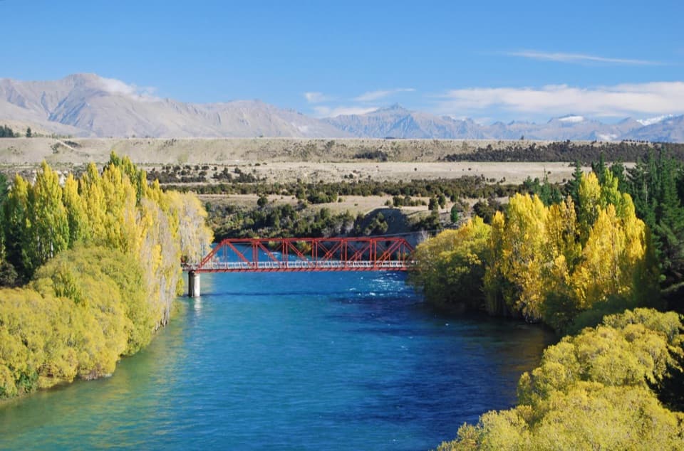 Campground · 6.2 km awayLuggate Red Bridge ReserveAn easy overnight stop beside Luggate’s red truss bridge.
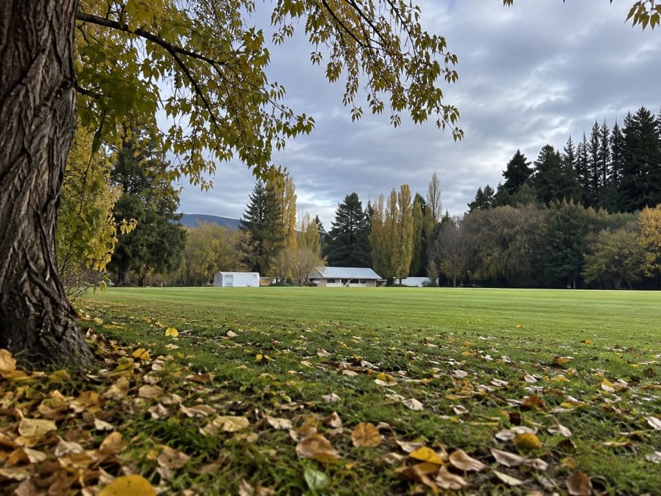 Campground · 6.6 km awayLuggate CampgroundA simple overnight base around Luggate’s cricket oval.
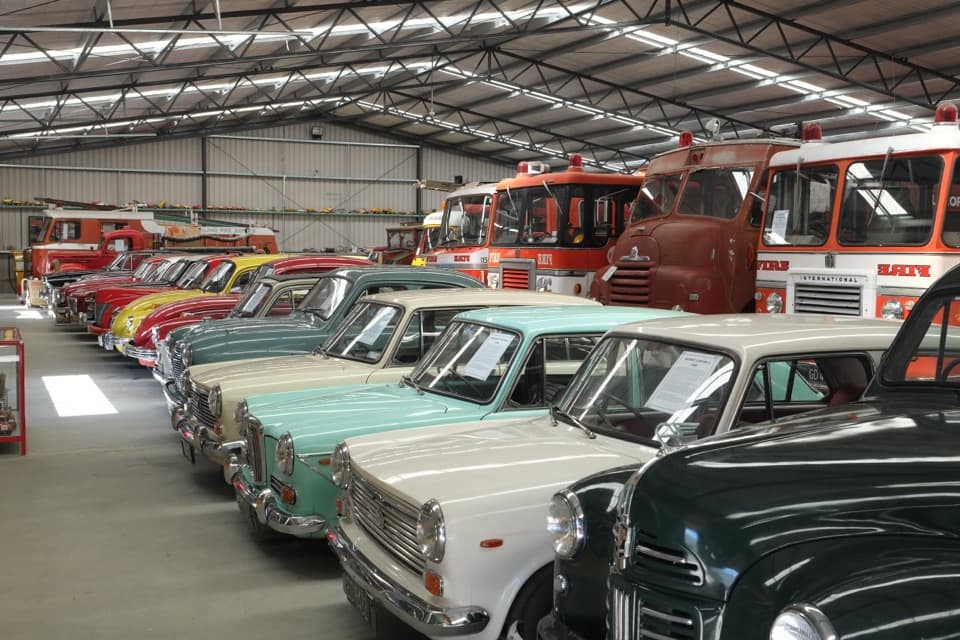 Sight · 9.5 km awayNational Transport and Toy MuseumFour buildings, hundreds of vehicles, and a plane you can walk inside
 Sight · 14.3 km awayWānaka Lavender FarmA garden stroll with farm animals, honey tasting and lavender treats.
 Campground · 15.4 km awayAlbert Town CampgroundA self-sufficient riverside camp beside two rivers near Wānaka.
Parkwolf’s Queenstown-Lakes District ranking

The audio tour guide for the drive, plus offline maps, trails, and wildlife heatmaps for when the signal drops.





