Parking
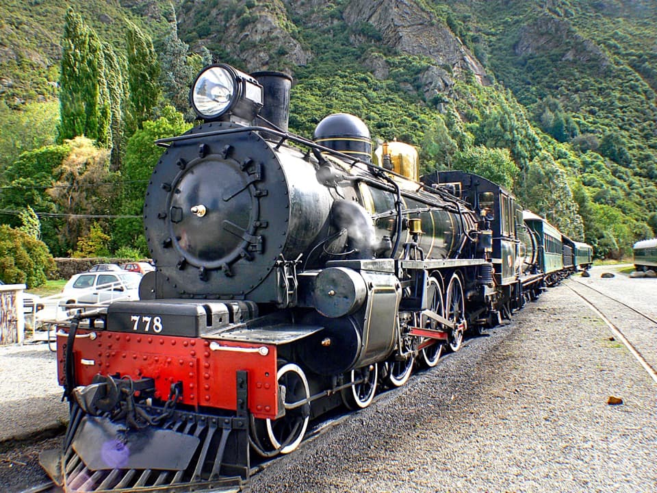
Te Kere Haka Reserve car park is at the far end of Kingston, past the railway station. The foreshore walk starts here too but is separate and easier.
Queenstown-Lakes District, New Zealand, OT
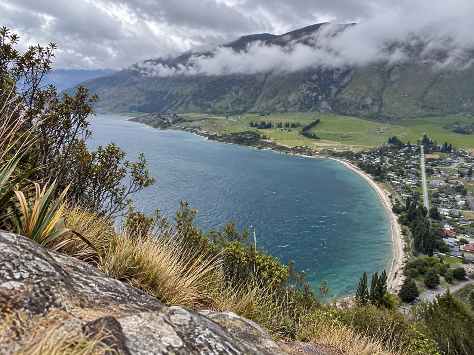
A steep stream climb pays off with Lake Wakatipu above Kingston.
Overview
Map & elevation
Plan your hike

The highest, rockiest slopes around here are a summer buffet for grizzly bears.
Queenstown-Lakes District Tour Guide
Parkwolf is a GPS audio tour guide for Queenstown-Lakes District, New Zealand. As you drive, it chimes in with what’s ahead: hidden gems, upcoming stops, history, geology, and wildlife, right through your car’s speakers.
See the Queenstown-Lakes District audio tourRecorded for this trailhead
Te Kere Haka and Shirt Tail Tracks“Up ahead is Te Kere Haka Reserve, where I'd choose the foreshore track for an easier walk from Kingston.”
Plays as you drive up to this trailhead in the Parkwolf Queenstown-Lakes District Tour Guide.
More stories near here in the app
“Fantastic app with many points of information… It’s great to just turn on while you’re driving and it gives you an audio tour of the national Park. We love it!!!!”


Trail guide
Shirt Tail Track is a 1.6 km return out-and-back from Te Kere Haka Reserve car park to the upper lookout, following Shirt Tail Stream past a waterfall. It gains roughly 200 m in a short distance; allow 1½–2 hours for the climb, the rough descent and a pause at the top. This suits walkers comfortable with steep, faint tracks. The lower route to the waterfall is the more straightforward part. If you want an easy stroll, take the separate Te Kere Haka foreshore walk from the same car park.
At Kingston’s far end, past the railway station, follow the Shirt Tail Track sign and take the left branch. The path climbs through red beech forest beside the stream, with occasional glimpses over the lake. The section to the waterfall is marked. The route crosses the stream there; rocks give you stepping points, but take care on wet stones.
Beyond the waterfall the route turns very steep and rough. DOC describes this upper section as unmarked and unmaintained; a local walk description reports faint orange markers, so do not count on an easy-to-follow path. Near the bushline, take the short left branch to the lookout platform. The right-hand continuation is a harder rough route and is outside this short walk. Damp ground makes the descent especially awkward.
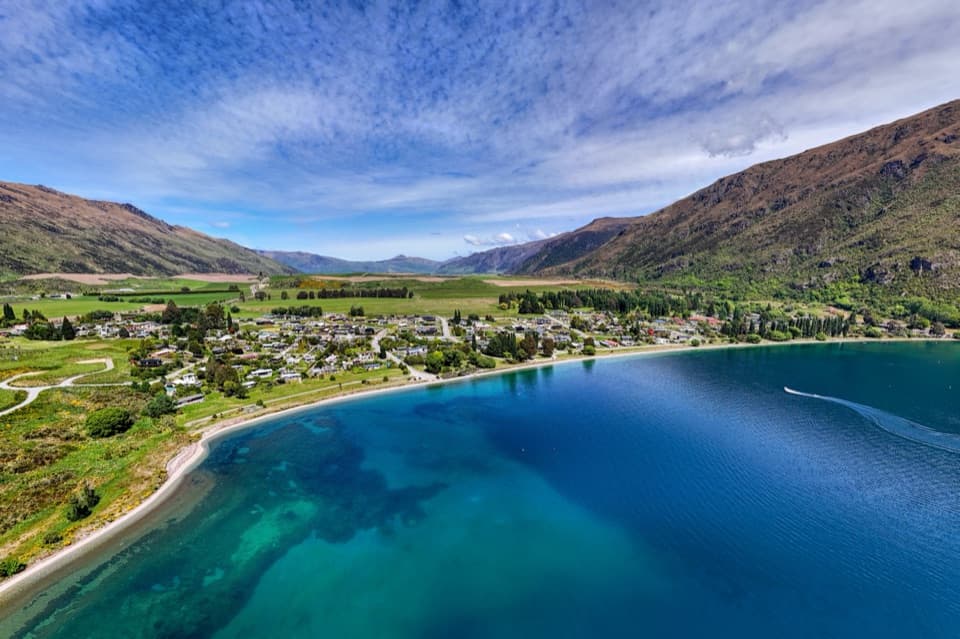
The lookout opens over Lake Wakatipu, Kingston and the old railway line, with steep mountains behind the town. On a clear day, frame the shoreline and Kingston together with the mountain slope beyond; it gives the view a sense of scale.
Start at Te Kere Haka Reserve car park at the far end of Kingston, about a 45-minute drive from Queenstown. The easier foreshore walk shares this access but is a different route. Flyer Cafe & Bar is a separate stop in Kingston, roughly 300 m away. Toilets, drinking water and a dog rule were not confirmed; check before bringing a pet and carry the water you need.
Wildlife
 194 sightingsKeaMost seen around 5 PMSighting map
 18 sightingsKākāMost seen around 6 PMSighting map
 198 sightingsKererūMost seen around 10 AMSighting map
 53 sightingsWekaMost seen around 6 PMSighting map
 245 sightingsTūīMost seen around 8 AMSighting map
 98 sightingsBellbirdMost seen around 6 AMSighting map
Sighting maps show where each species has been reported across Queenstown-Lakes District. Wildlife moves, so no sighting is guaranteed.
Keep exploring
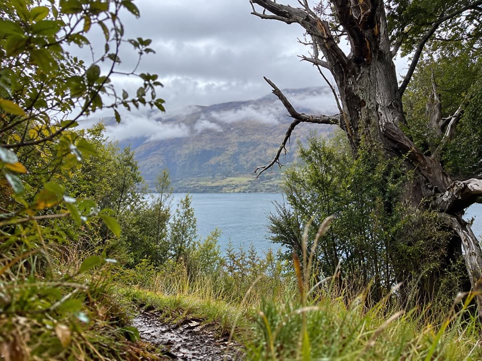 EasyTe Kere Haka Track3.7 km · 1.3 hr · At the trailheadAn easy lakeshore walk to a waterfall with Lake Wakatipu views
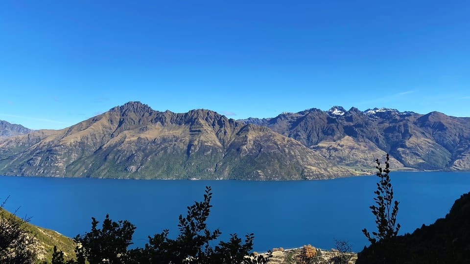 ChallengingLower Wye Creek Track6.7 km · 4 hr · 21.5 km awayA steep pipeline climb ends in a quiet beech-lined basin.
Parkwolf’s Queenstown-Lakes District ranking

The audio tour guide for the drive, plus offline maps, trails, and wildlife heatmaps for when the signal drops.